

8/27/2021
As I get closer to completing the first round of the NH48, the weekend hike selection narrows. I wanted to traverse the northernmost 4k’s, Waumbek and Cabot. They are kind of close to each other on the Kilkenny Ridge. I plan to leave my car at Waumbek (Starr King trail) and get a ride to the Cabot trailhead. I was then going to walk up over Cabot and continue down the ridge to Waumbek. Looks like about 15 miles. I could not work out the ride logistics this time (complication of solo hiking). I settled on one of the longer of the remaining hikes, Mt Isolation.
I woke at the usual time of 3 am on hike day. Sucked down a cup of coffee, made myself presentable and was on the road at 3:45 bound for Glen Ellis parking area in Pinkham Notch on Rt 16. I was thinking about the hike on the 3 hour ride. My research says about 5100′ of elevation gain over 12 miles. All indications were that there was very little in the way of water on this hike. I do carry a filter but also packed 4 liters for this hike making my pack a little heavier.
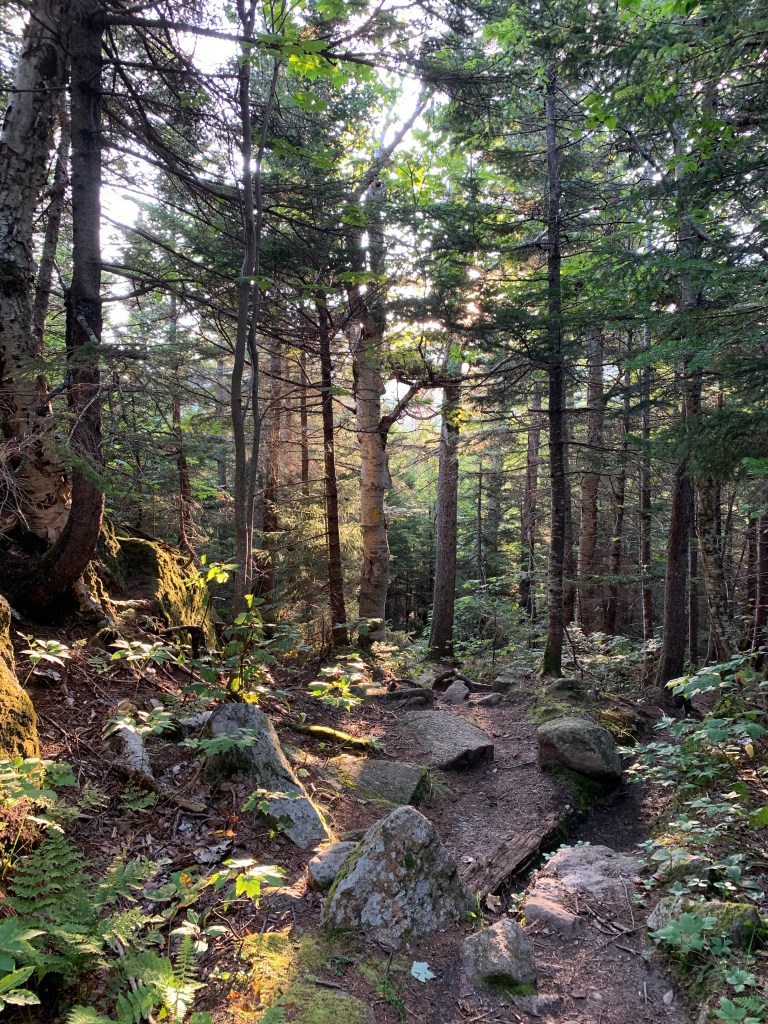
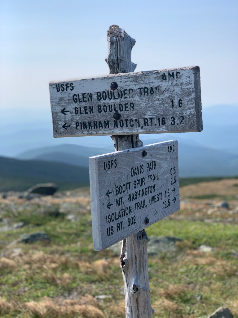
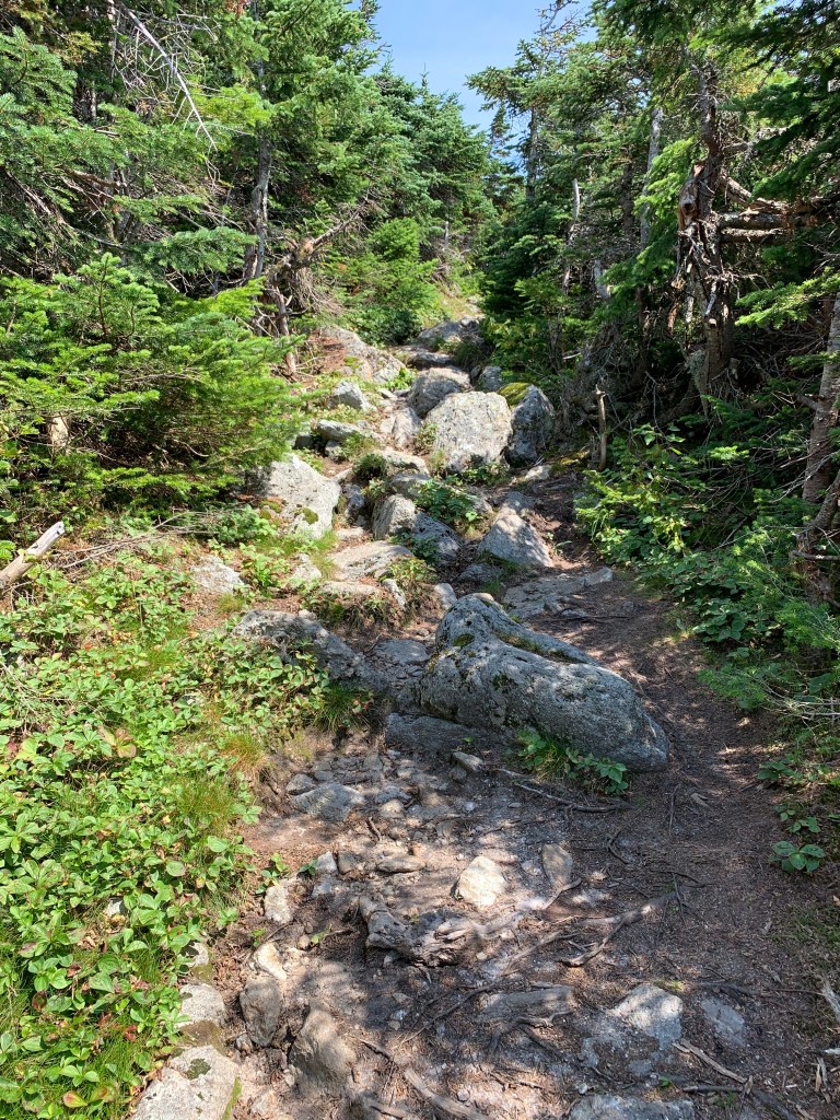
I arrived at the parking lot at 6:45 and was on the trail just before 7. I packed my stuff and started for the trail. I have been feeling a little more nervous of late about bear encounters. I tend to hike early and am always alone for many hours and miles. Perfect time for bears. I ordered some bear spray, should be here tomorrow. My route was to take me up Glen Boulder Trail to Davis Path. Davis Path would take me to Mt Isolation (via a short summit spur). Glen Boulder trail didn’t waste a whole lot of time gaining elevation. Not unreal gain, but most certainly did not ease into it.


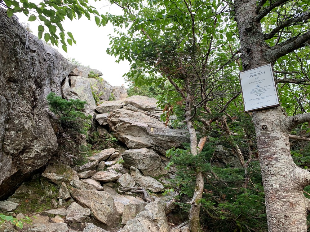
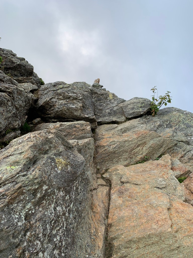
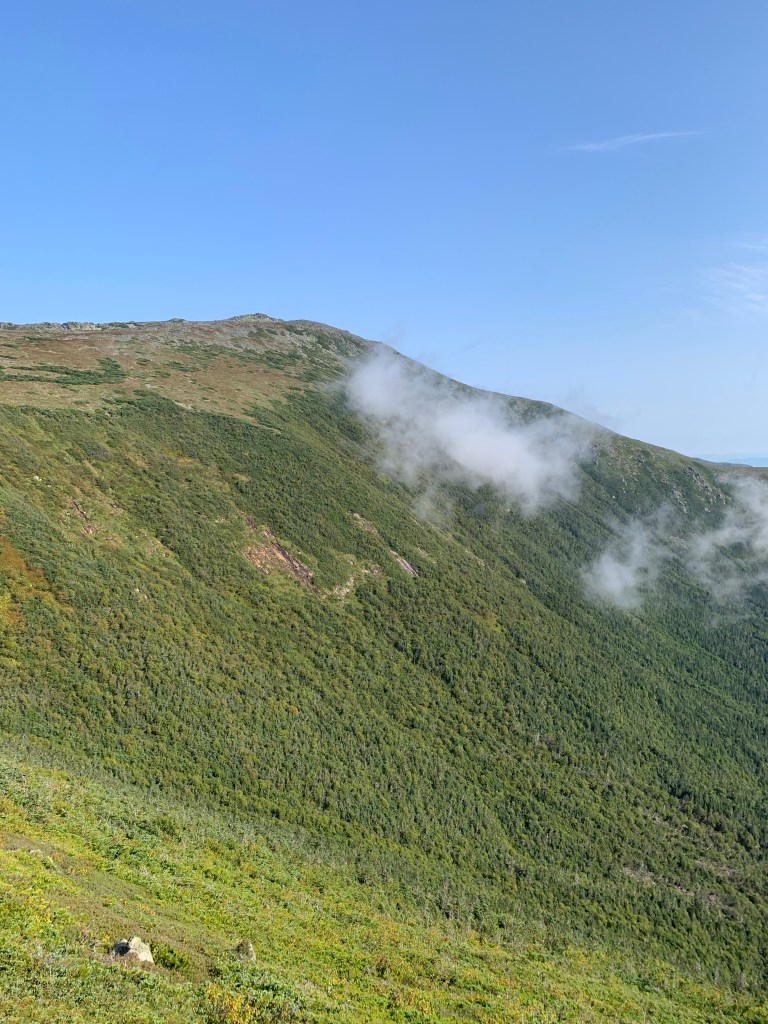
The moderate steeps continued past the first mile into mile 1.5. The trail then took a noticeable upward trajectory. It was here that I encountered the first technical scramble that was a bit difficult. It is a ledge outcropping that has no clear best route up about 6′ of vertical rock. I managed to pull myself up to a step where I had to then lean as far forward as possible to get my weight over the edge where I could then get a toe hold on a ledge I could push off on. Getting over this section left me standing on a 45-degree slab. I negotiated this slab for about 30′ and finally got to some reasonable footing. Of course, I knew this obstacle was coming but you can’t prepare for it until you see it. I was left not looking forward to descending this section but I chose not to think about that for now. The pictures below are of this section.
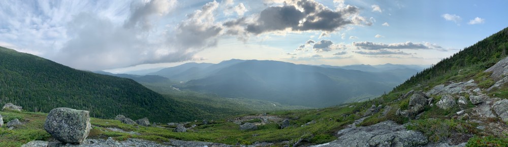
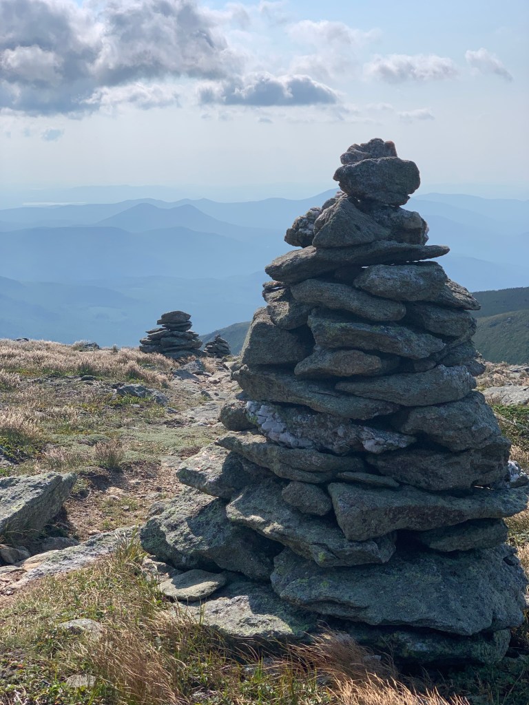
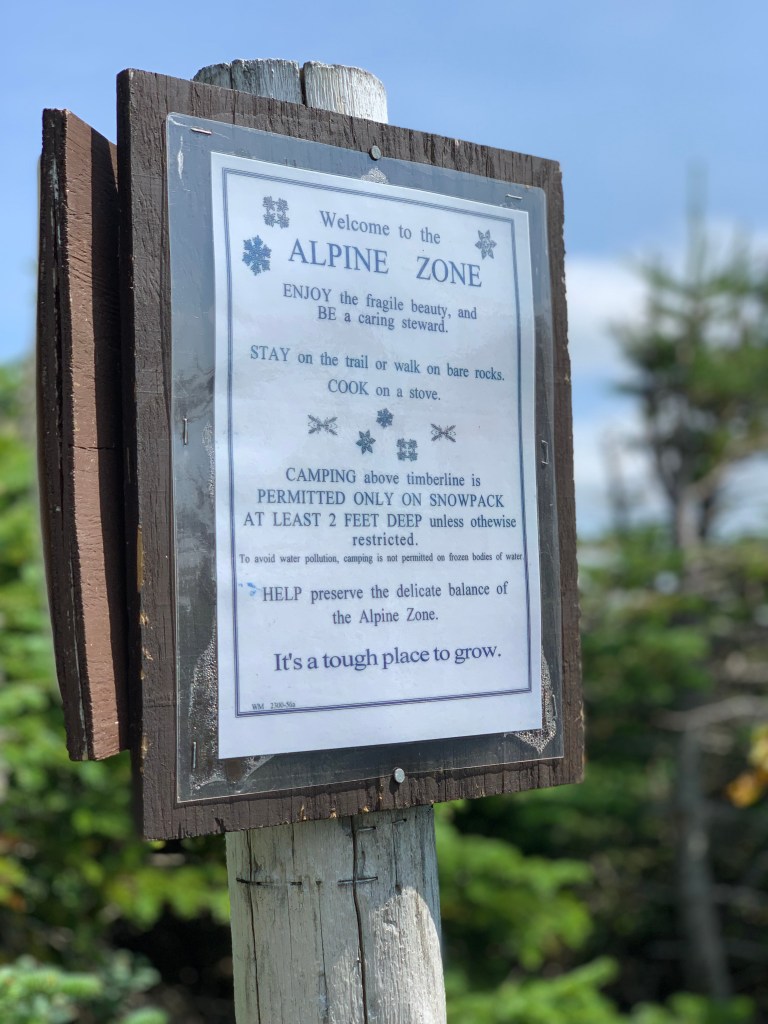
Once through this obstacle, I was above the tree line for the first time on this hike. These are the opportunities I hike for. Getting above the tree line. I call it “going to church”. I would actually be in and out of tree line for a bit until I get just below the Davis Path junction. The steep boulder scrambles continue for a long time and the grade is moderate. I took a look at my watch and noted at this point that I had gained over 2000′ in elevation in 2 miles. A high point on the trek below Davis Path was Gulf Peak. An amazing and inspirational place to take in.


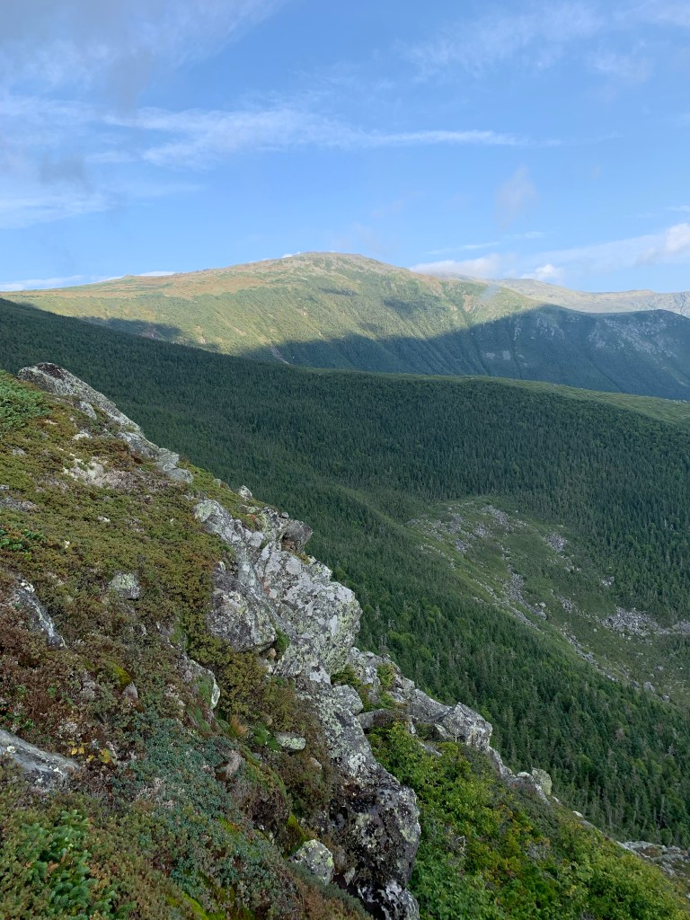


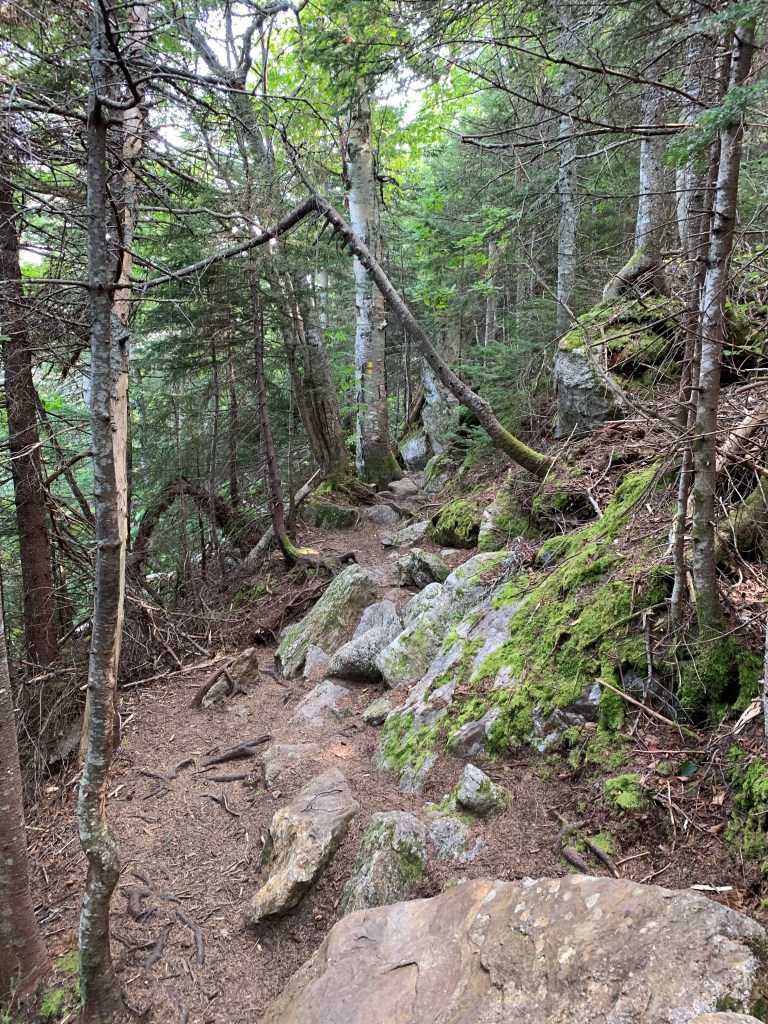
As I was making my way to the Davis Path junction, I looked back at Gulf Peak and noticed a hiker with his pack off. I hadn’t noticed that I was being chased, this hiker was making good time. I arrived at the junction and decided a little break for some water and snack was a good idea. I noticed that the hiker behind me was only a couple hundred yards behind now. He arrived and we chatted a bit about our plans for the day. Zack, as I learned his name was later on, was also headed for Isolation and then Washington after that. I have never hiked with anyone else but today Zack said ‘Should we push off toward Isolation?’. I thought, what the heck, seems like a nice guy. We began to make our way down Davis Path, losing about 1,500′ feet in elevation along the way. This was mostly in the trees but was really pretty. I’m not sure how much elevation gain there was after the loss to get to Isolation but it felt like 500-800′. The summit of Isolation was gained via a short spur trail.
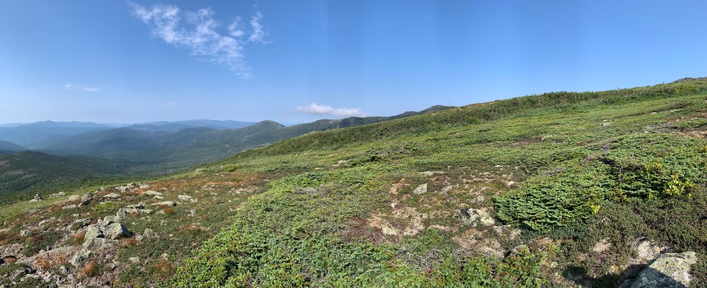


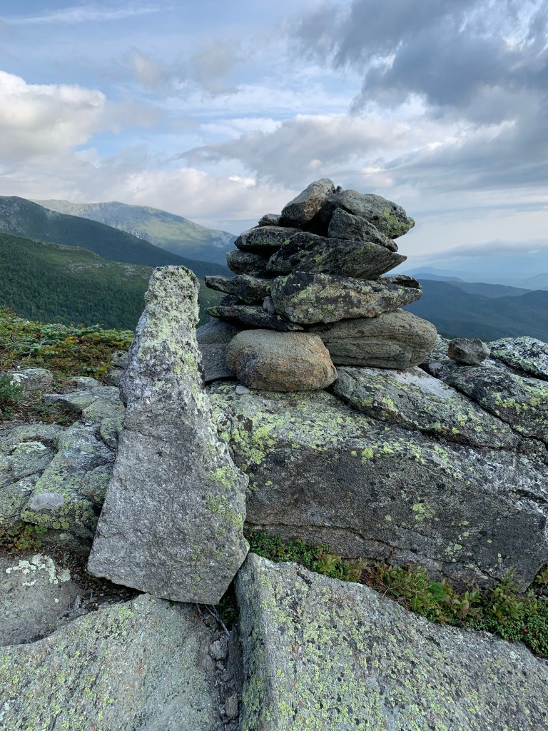
The 360 degree views from Isolation are truly breathtaking. Zack found the summit marker and we sat down for a snack. I have taken to pickles as my hiking snack. The salt and electrolytes kind of rejuvenate my legs a bit. Also took in some protein by ham and cheese rollups and a cliff bar. I was at the halfway point and I had not drunk 2 liters of water. I had some and noted that I should increase the water intake.
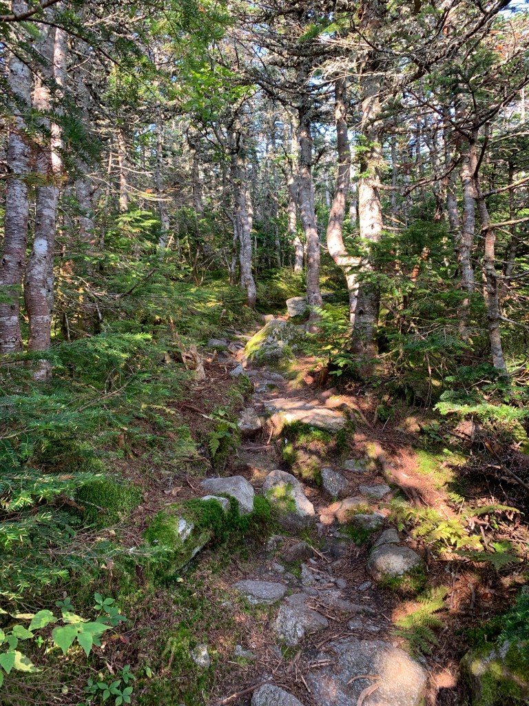
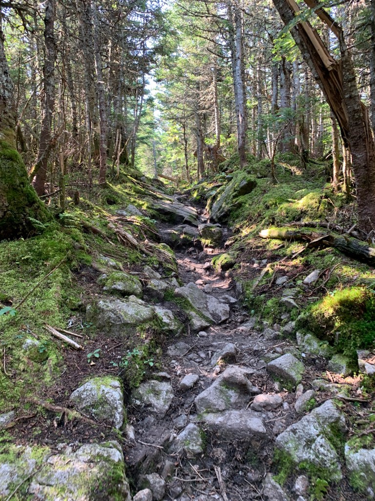
We left Isolation bound for the Davis Path junction and ultimately back down Glen Boulder. The trail conditions in the col after Isolation and before the elevation gain back to Glen Boulder are VERY rough. Lots of water, mud, boulders, and broken down bog bridges. Slipped in up to my ankle at point, kind of unavoidable. My feet stayed dry though thanks to my Targhee III’s.
The trail then took the inevitable turn upward. I’m not sure if it was a lack of proper hydration or lack of electrolytes but this march back up Davis Path took a serious toll on me. My quads in particular were taking a beating and felt like I had been punched in both of them. It was pretty steep but I should not have had as hard a time as I did. When I finally got back to the Davis Path junction I remembered that I have some Gatorade gummies with me that are packed with electrolytes. I ate two of those and within 10 minutes my legs felt better. I also increased my water consumption as my legs kind of failed on that stretch.


While I was having my issues getting back to the Glen Boulder Trail, I urged Zack to continue on toward the junction where he would go on past and continue to Washington. He waited it out with me for a couple of rest stops but did end up moving on without me. All good, I usually hike alone and was holding him up. I did enjoy the company and will seek other hikers out for some trail companionship. I made it back to the junction, took a little break, and then continued retracing my steps back down Glen Boulder Trail.
It was a steep descent that was tough on my feet and thighs. In the back of my head, the difficult section I had encountered on the way up was looming. I made it past the big rock again and found myself at this section. I slowly made my way down the 45-degree slab to the 6′ vertical. Getting down this was going to be harder than going up, always is. As I sat down to start negotiating the drop-off, my backpack was hitting the ledge behind me making me feel unstable. I determined that I could not negotiate this with my pack on. I took it off and lowered it down as far as I could lean over and then chucked it out of the way. Free of the pack I was able to scoot closer to the edge, wrap my leg around the edge and find a toe hold. I then slid slowly to the next ledge where my pack was. Obstacle completed I put my pack back on and carried on down the trail. I remembered after that section that I carry paracord. I could have lowered my pack. I will next time.

I knew the route I was taking to Isolation was not going to be easy. I did not realize how difficult this hike would be though. I have heard that some ascend the way I did but take Rocky Brook out to avoid the tough hike back to Glen Boulder Trail. That requires a car drop though. I look forward to a winter return to Isolation but will likely not do Glen Boulder to get there. This was a great day on the trail with some great unexpected company for part of it!
| Miles | Elev Gain | Time |
| 12.5 | ~5000′ | 7.5 Hours |

Thanks for sharing the trail with me for a bit. What a gorgeous day for the hike…doesn’t get much better than that!
LikeLiked by 1 person