6/5/2021
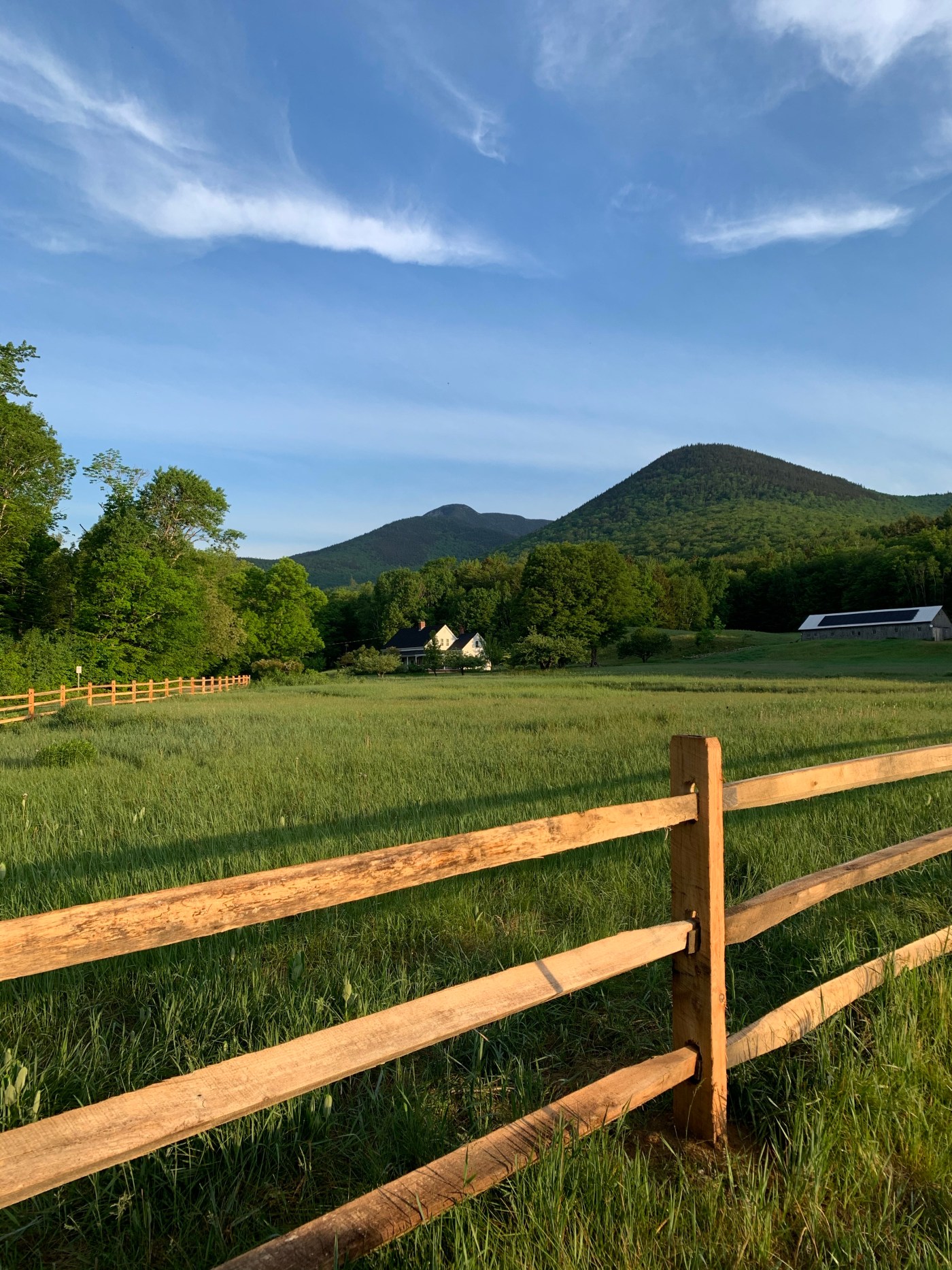
My recent sleep issues paid a dividend with an early start today. I was up at 3:15 so I had coffee, got ready, and was driving by 4:00 am. This was to be my second fast and light trip with a 26L pack. It was a pretty hot day so I had extra water weighing me down at about 15 pounds total pack weight.

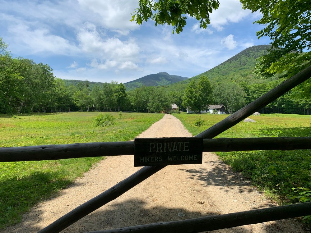
I arrived at the Ferncroft parking area at 6:00 and was hiking soon after. The first couple miles of Blueberry Ledge are pretty flat and you can stretch it out and make good time. I mention Blueberry ledge and it may ring a bell. In an earlier hike from last fall, I ended up on the Wildcat Ridge Trail from Gen-Ellis. Without proper pre-hike research, I was unaware that the Trail is on the list ‘The Terrifying 25’. This is a list of the scariest trails in the White Mountains. Blueberry Ledge is also on this list but I feel prepared as I had done the research this time. I was nervous but ready.
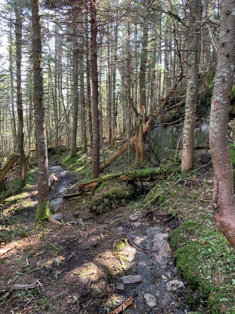
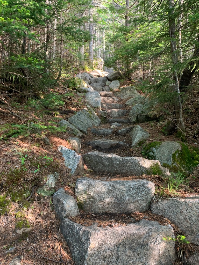
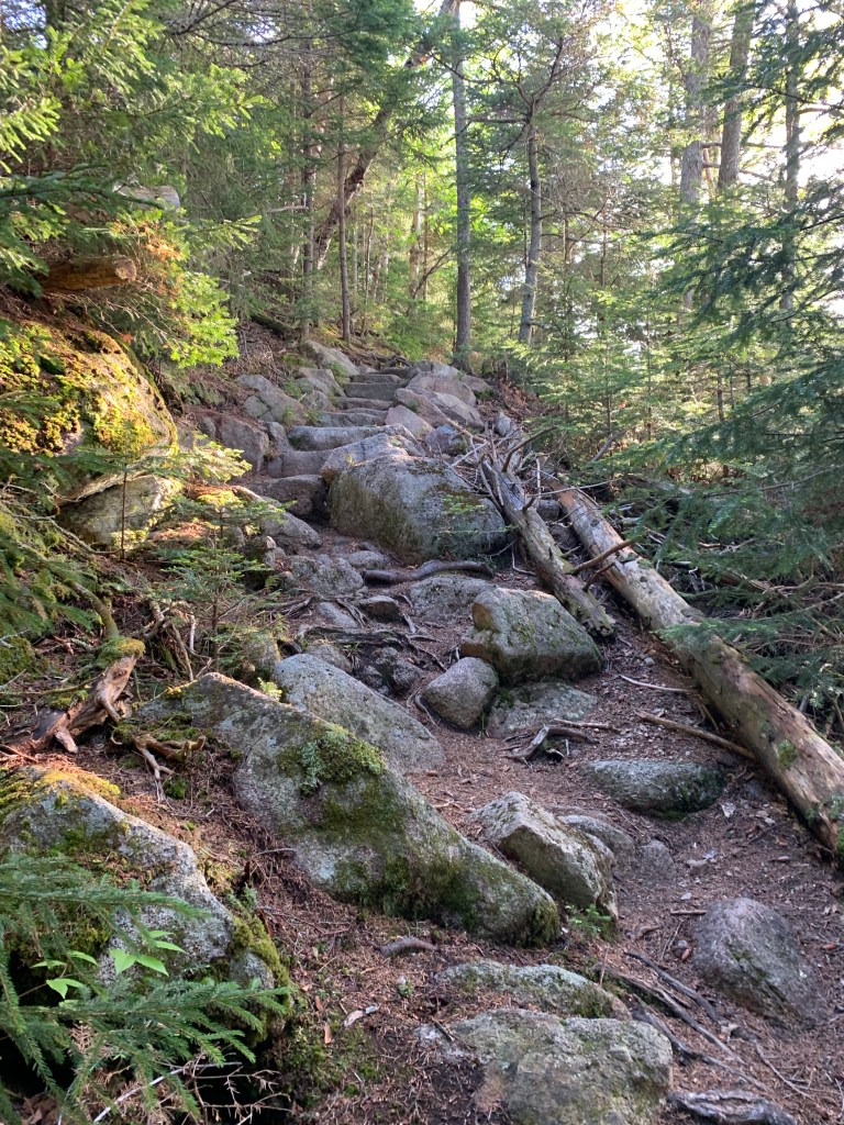
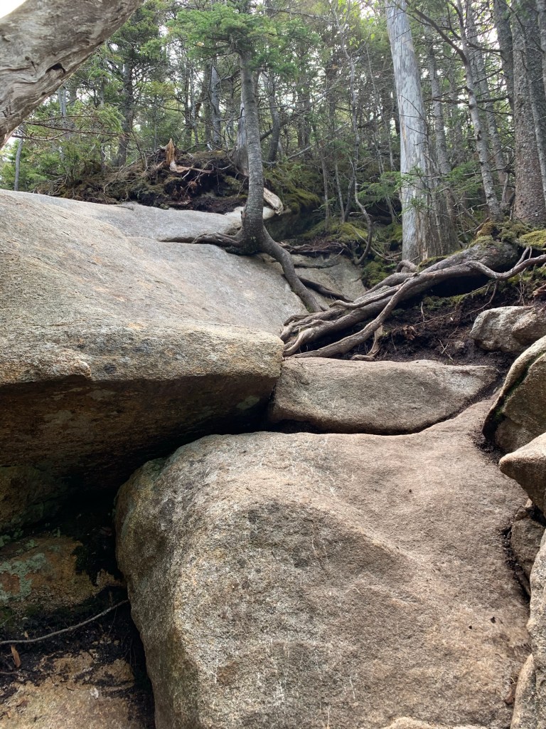
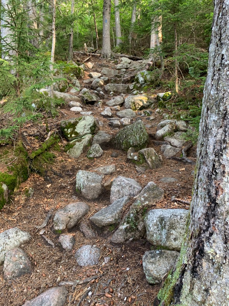
At about the 2-mile mark, the trail went up. Very steeply up and sustained steep until the summit another couple miles away. It is a really pretty trail with many stone steps. Although very wooded there are periodic peeks through the trees at where you’ve been and where you are going. I knew the tough spots were coming. The exposed ledges I had read about both in my own research and by seeing social media posts in the various hiking groups I frequent.
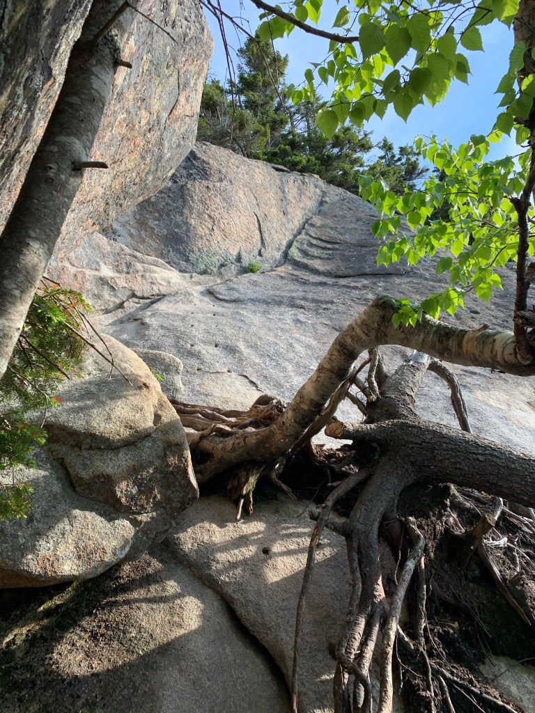
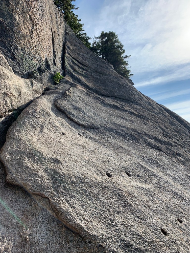
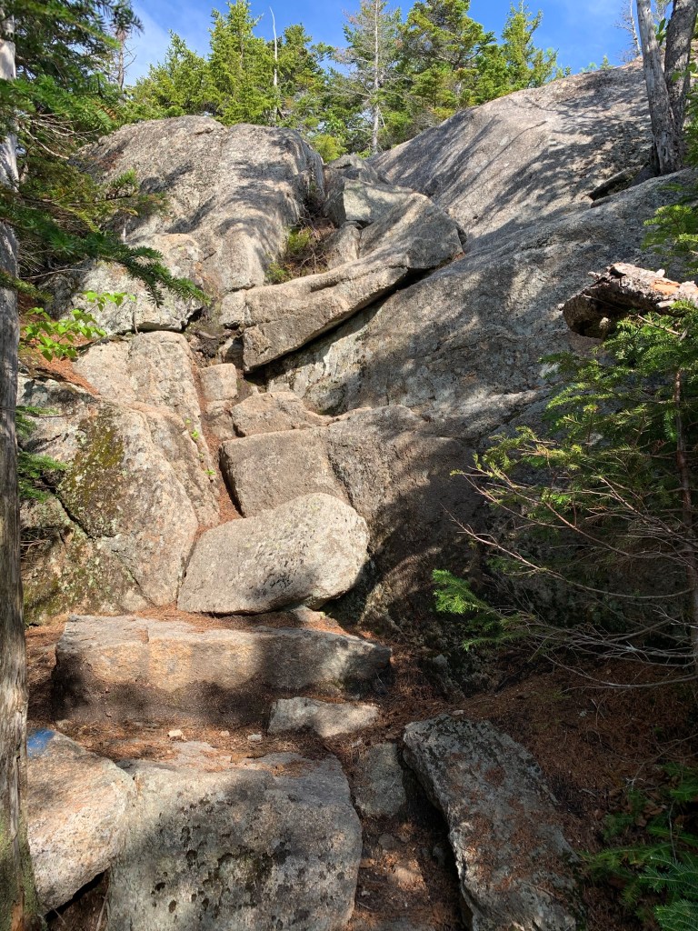
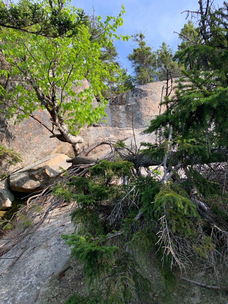
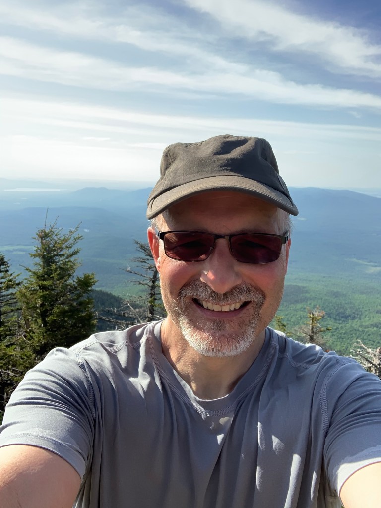
I had reached the point where I either tackle the hardest most exposed portion of the trail or turn around. I was going to turn around so I just kept going. Picked a path and went. Through most of this section, I was able to find good foot and handholds. Through a couple tougher spots it was all arms, pulling yourself to a point where you can get a foothold. The higher I went, the more exposed I was and the more exposed I was. Going back down this was not an option. I found a flat spot where a small tree had managed to grow on the ledge. I squatted beside this tree, took a picture or two, and then moved on.
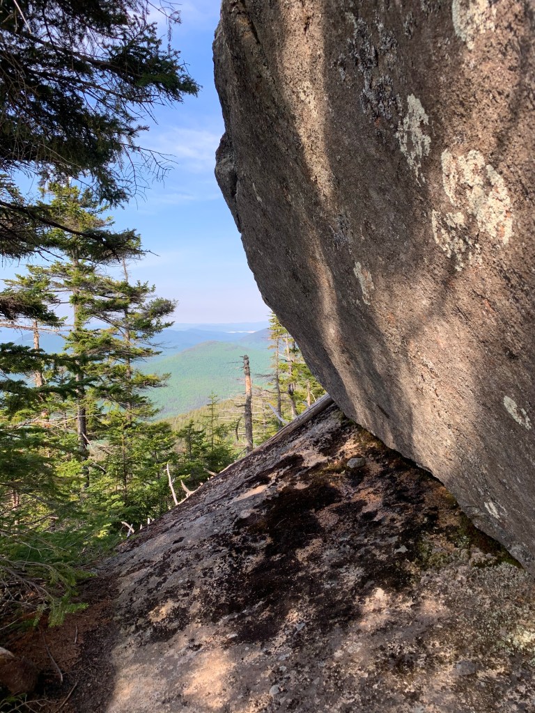
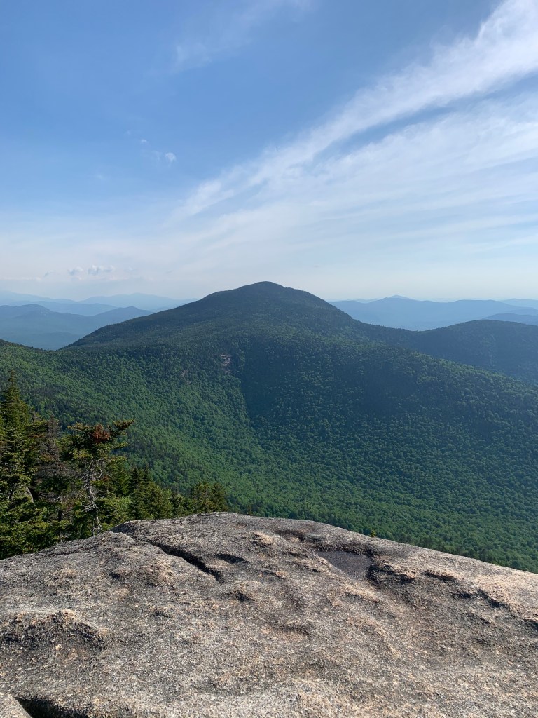
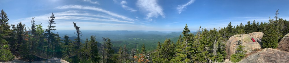
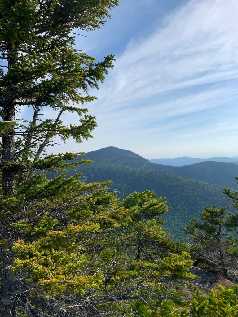
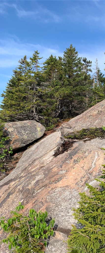
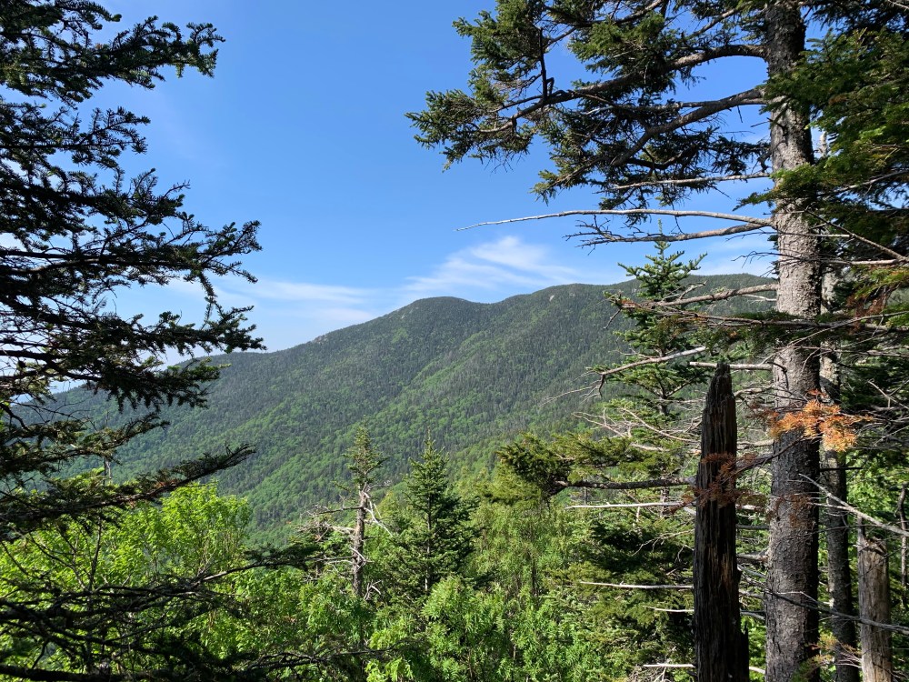
I made it through this heart-pounding and difficult section to find an amazing almost summit. The actual summit is pictured below and found in the woods just beyond the rocky spot I rested about the ledge scramble.
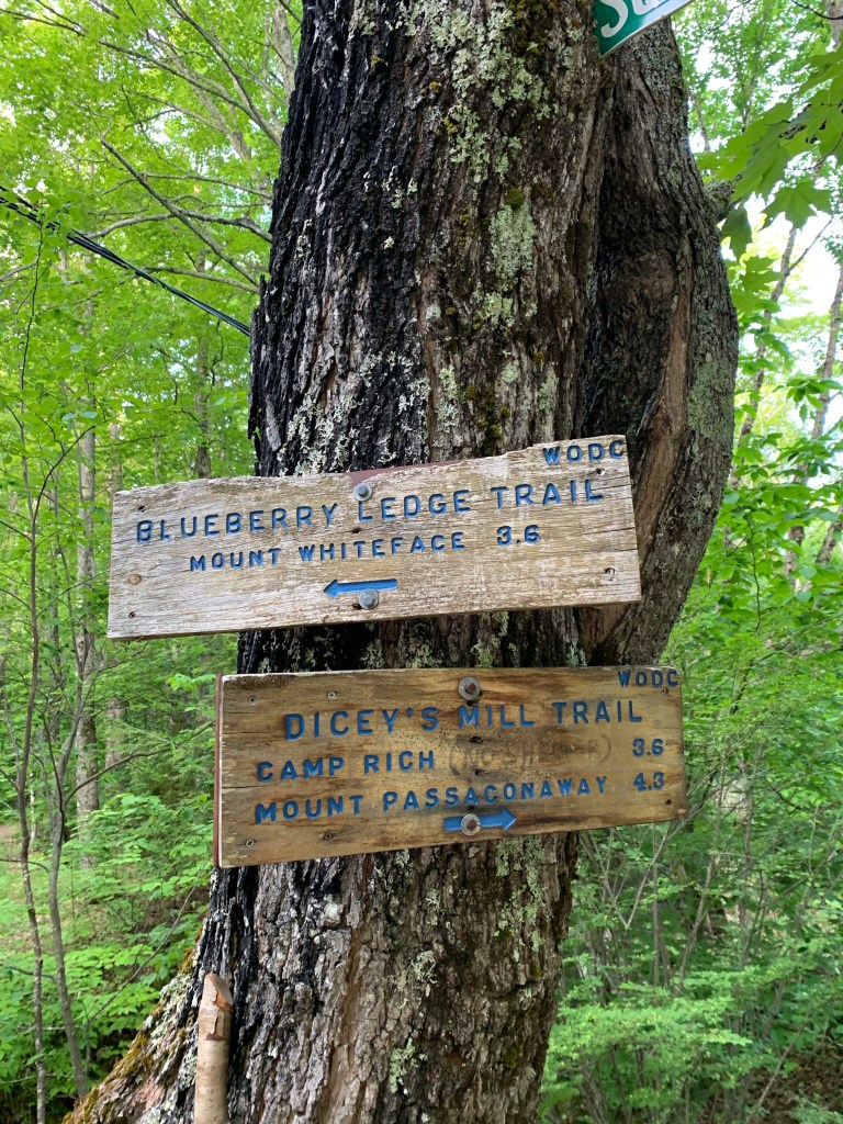
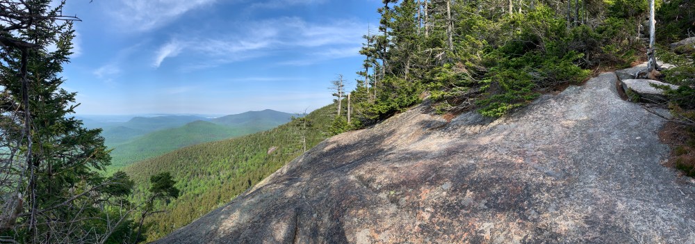
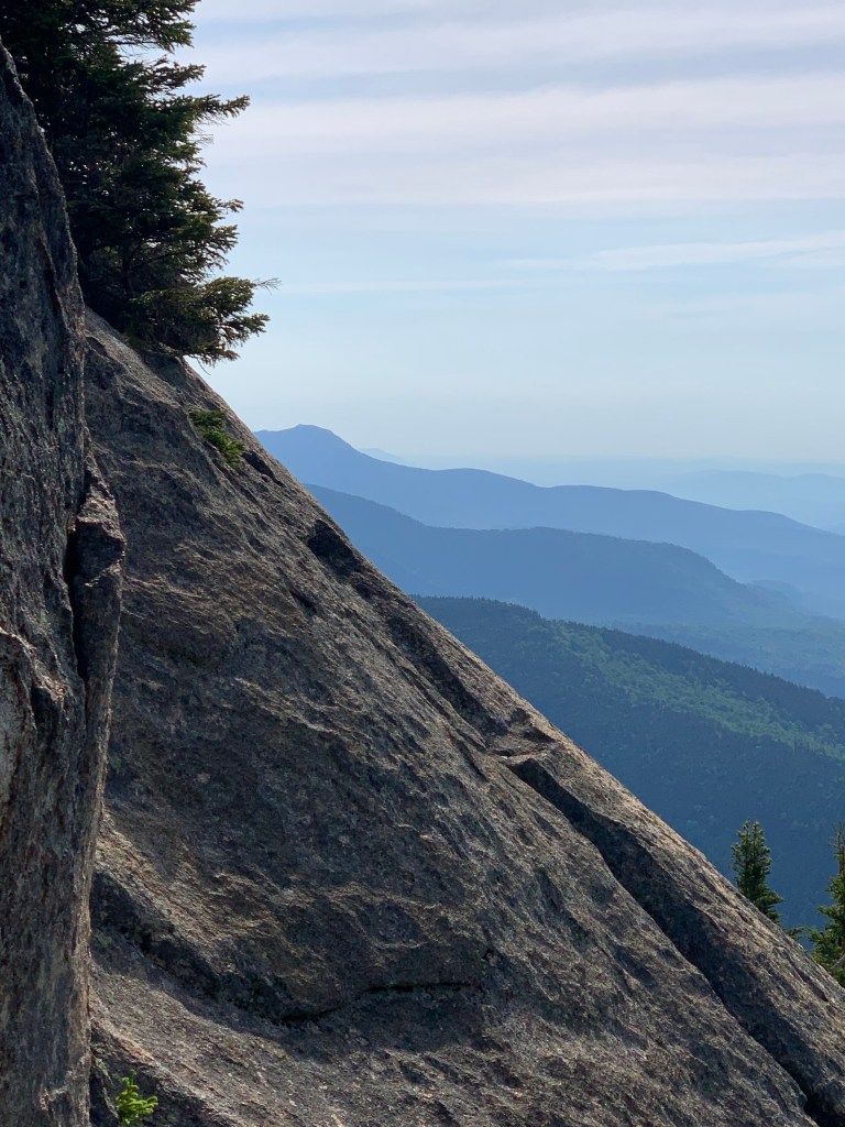
I left the summit of Mt Whiteface via the Rollins Trail bound for Mt Passaconaway. I was surprised by the steepness of the descent from Whiteface. I was also dismayed by the duration of the descent because it means more ascent to get up Passaconaway. Many times on these multiple mountain treks I find myself on a ridge between summits. This minimizes the verticle feet between them. In looking over at Passaconaway from the Rollins trail, I knew Passaconaway was going to be a push.
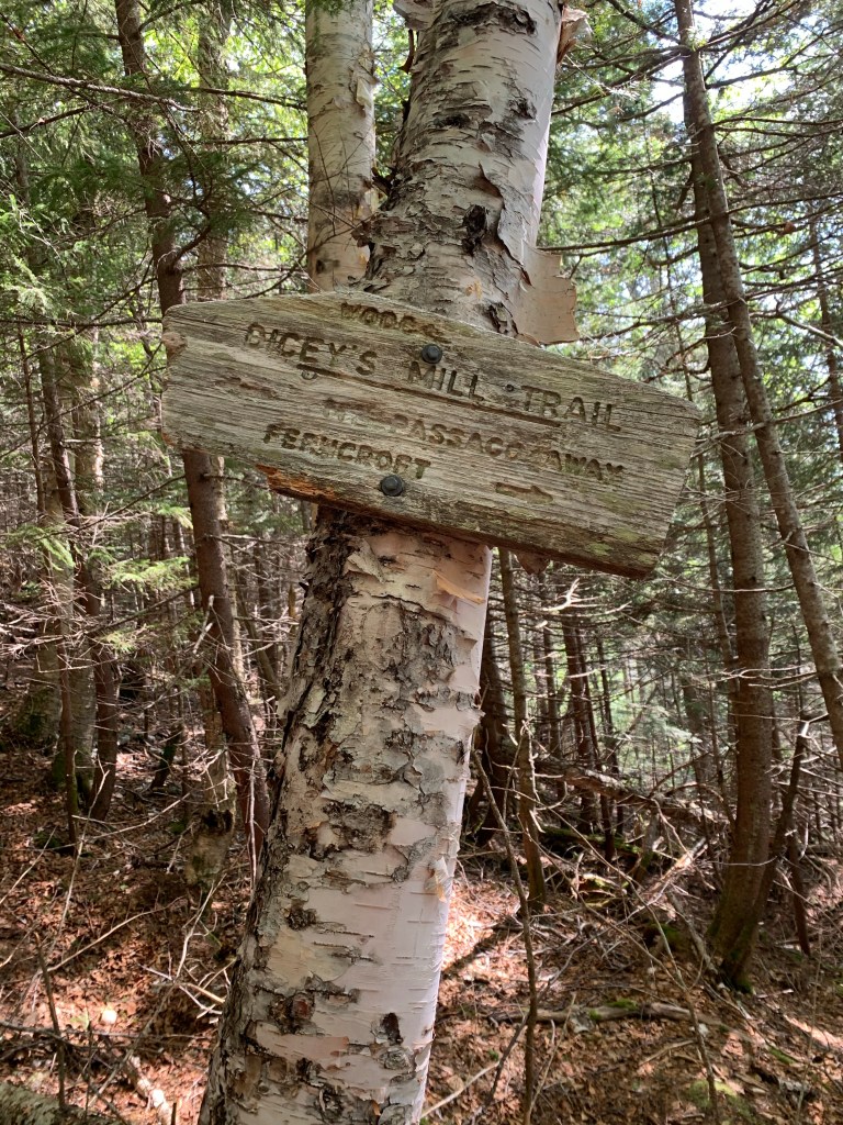
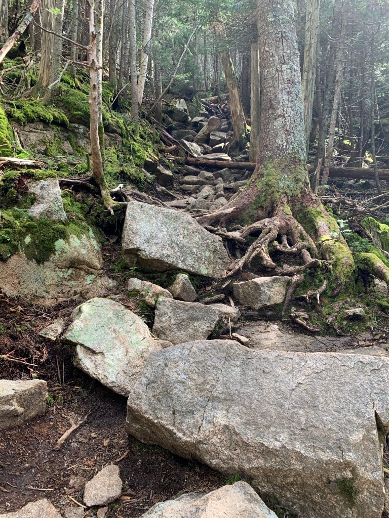
I took the turn from the Rollins Trail onto Dicey Mill Trail. It went straight up gaining about 600′ of elevation in a very short distance. There were a couple switchbacks which in the Whites are rare.
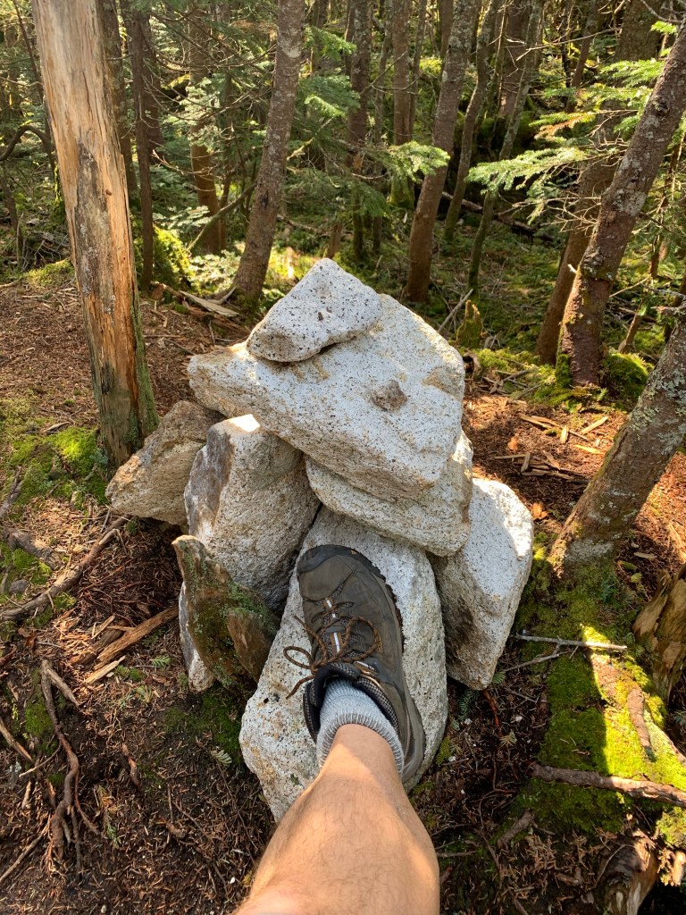
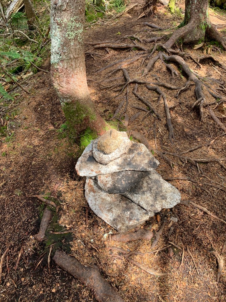
I made it to the summit of Mt Passaconaway which is marked by a small cairn in the woods, There is a spur trail that I took to my lunch spot, just of the summit of Passaconaway. It is far better than the actual summit but lies about a 100′ below the summit.
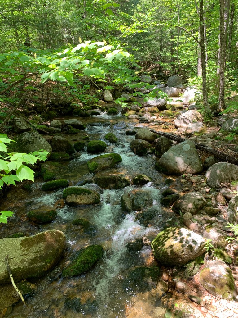
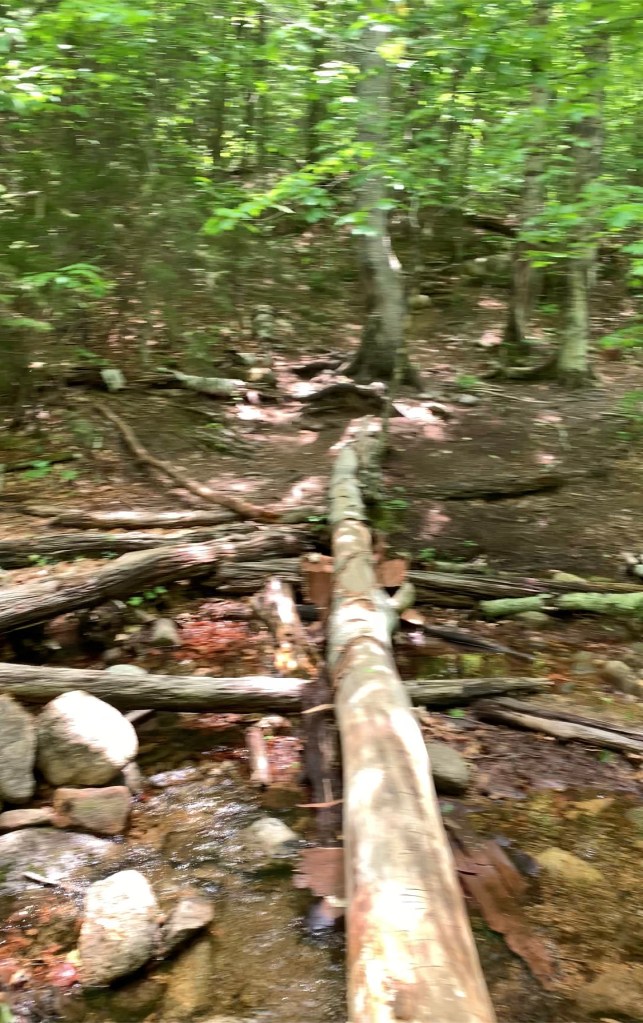
I returned to the junction of the View Spur trail and continued to take Walden Trail back to Dicey Mill that would ultimately take all the way to the bottom. The Walden trail was a ridiculously steep descent. I actually would recommend just going back down Dicey Mill from the View Trail junction. Unless you enjoy steep downhills. The walk back to the parking lot was long and uneventful. Beautiful and varied woods and terrain. There is a water crossing close to the bottom that I managed to go ankle deep in.
I would rate this trek pretty high mostly because of Blueberry Ledge and Whiteface. Passaconaway is beautiful though.
| Distance | Time | Elev Gain |
| 12.5 | 6.5 Hours | 4200′ |
| Peak | Elevation |
| Mt Whiteface | 4,019′ |
| Mt Passaconaway | 4,043′ |
