
10/23/2021
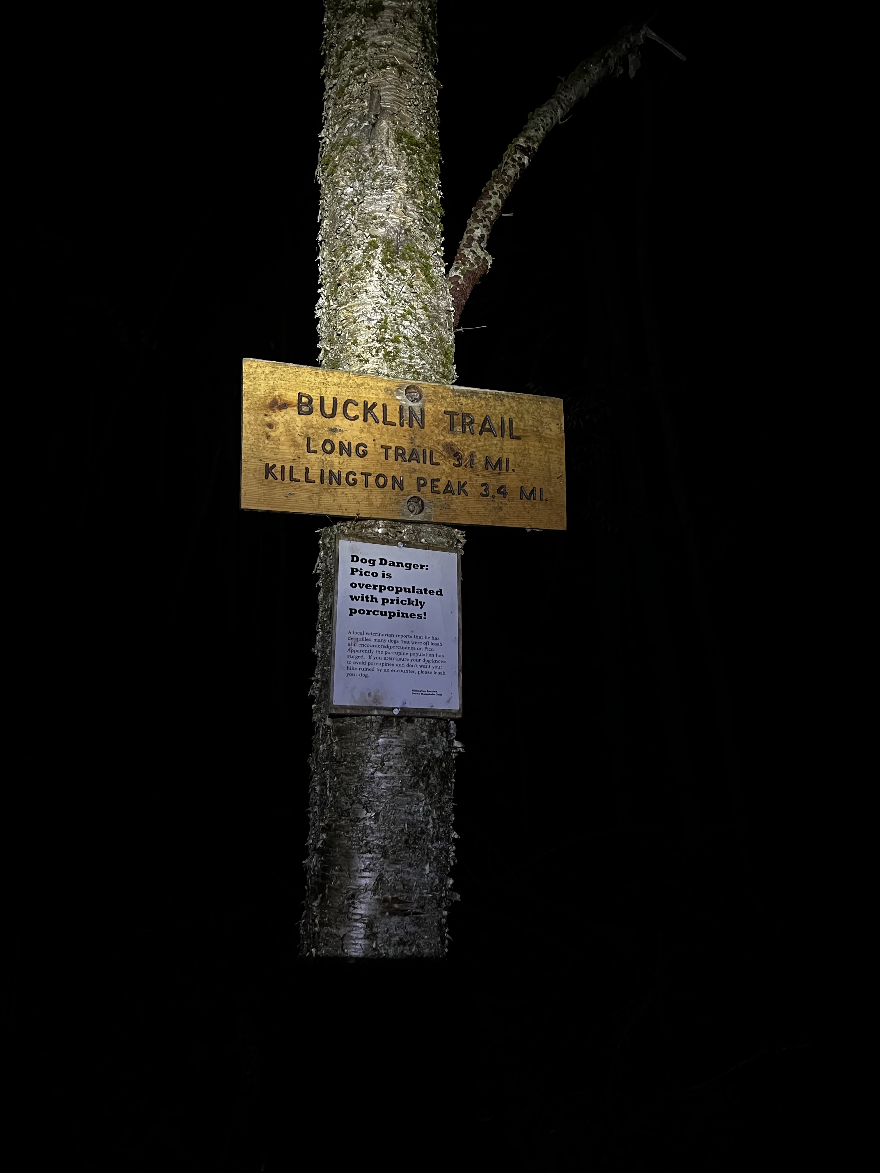
After finishing the NH48 a couple weeks previous, I decided to tackle a 4000 footer in a different state. I chose Killington in central Vermont. This was foreign territory not only because it’s not New Hampshire but I also didn’t know what resources t tap for trail conditions, trail reviews, and preparations needed. I felt I had learned enough throughout my aggressive year in the Whites to be safe. Some map research lead me to the Bucklin Trail near Rutland VT.
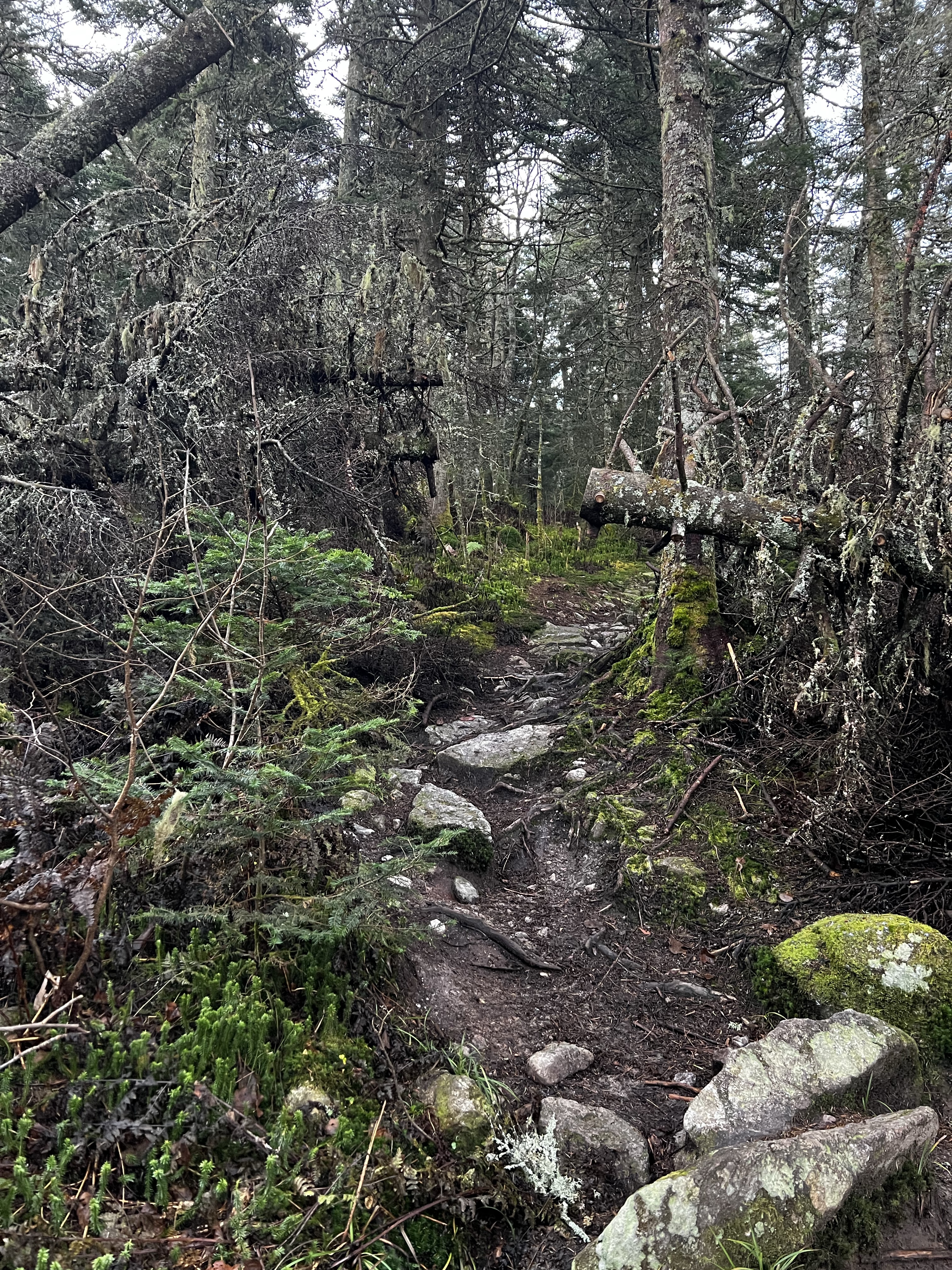
I arrived at the Bucklin Trail trailhead a little before 6 am and was on the trail shortly after. The trail is wide and similar to an old logging road for the first couple of miles. There was a very gradual incline that gained about 500 feet in elevation. Knowing I had about 2,500′ total to go over 3.5 miles to the top, again I knew I was in for it at some point.
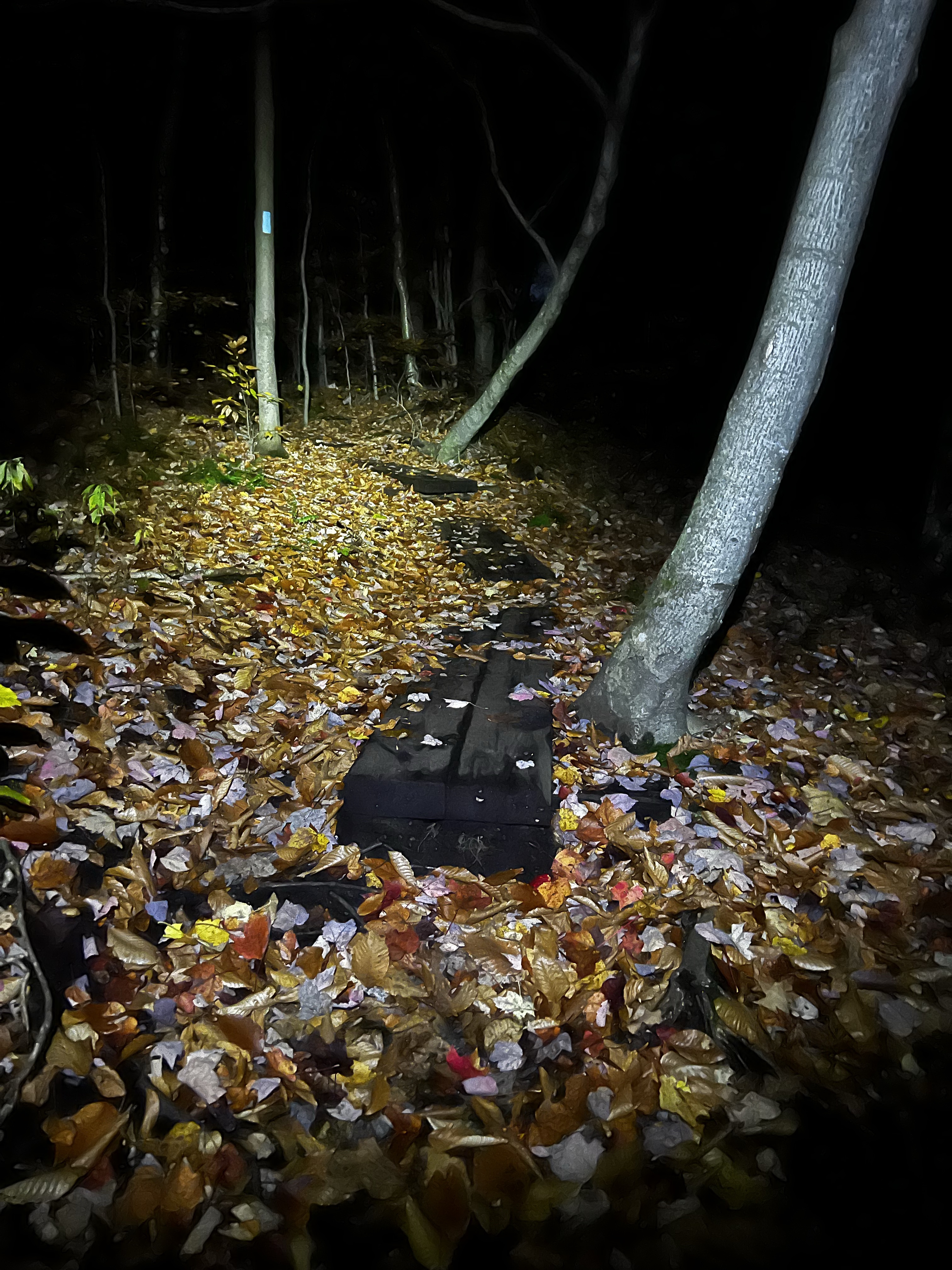

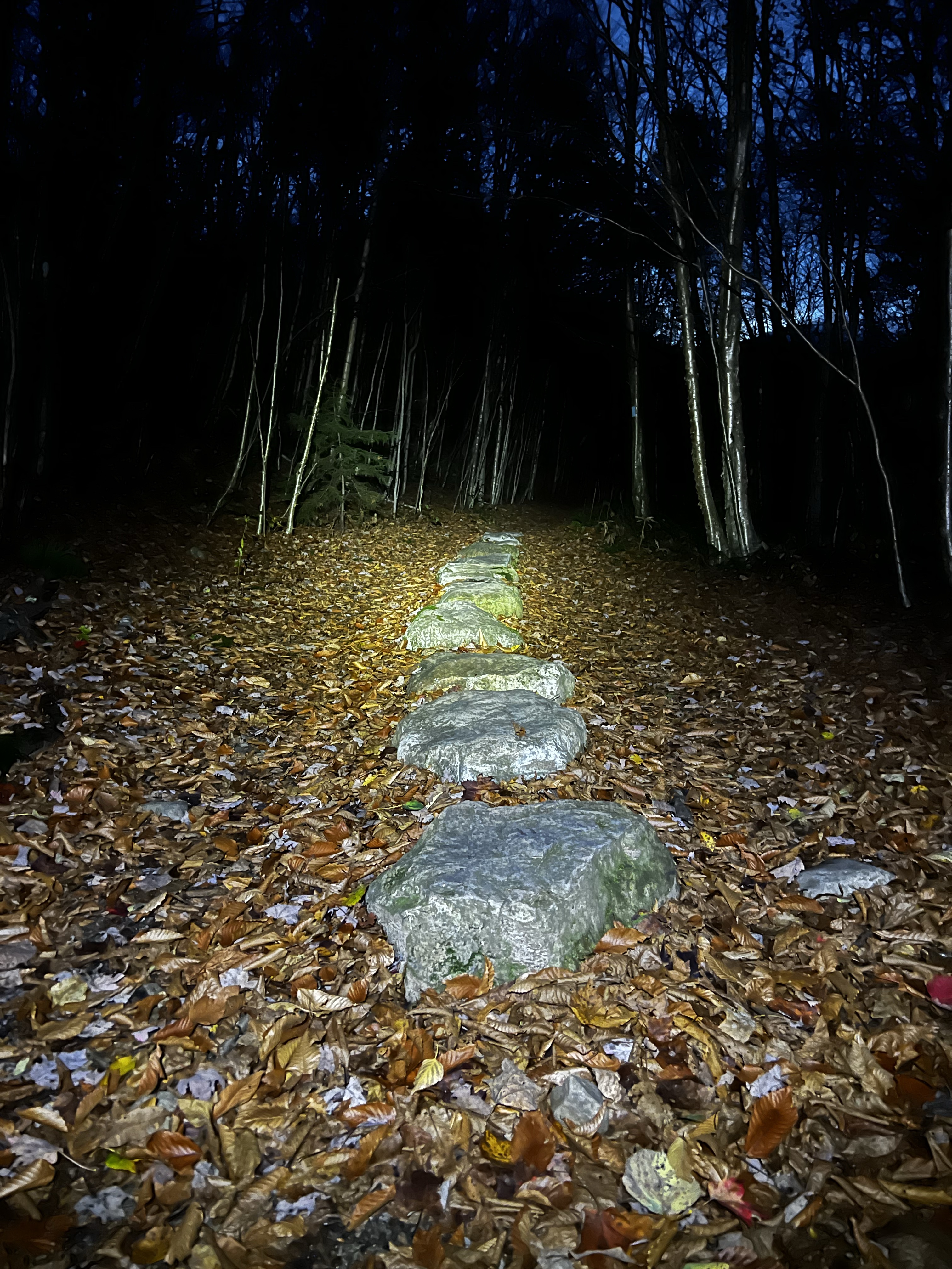

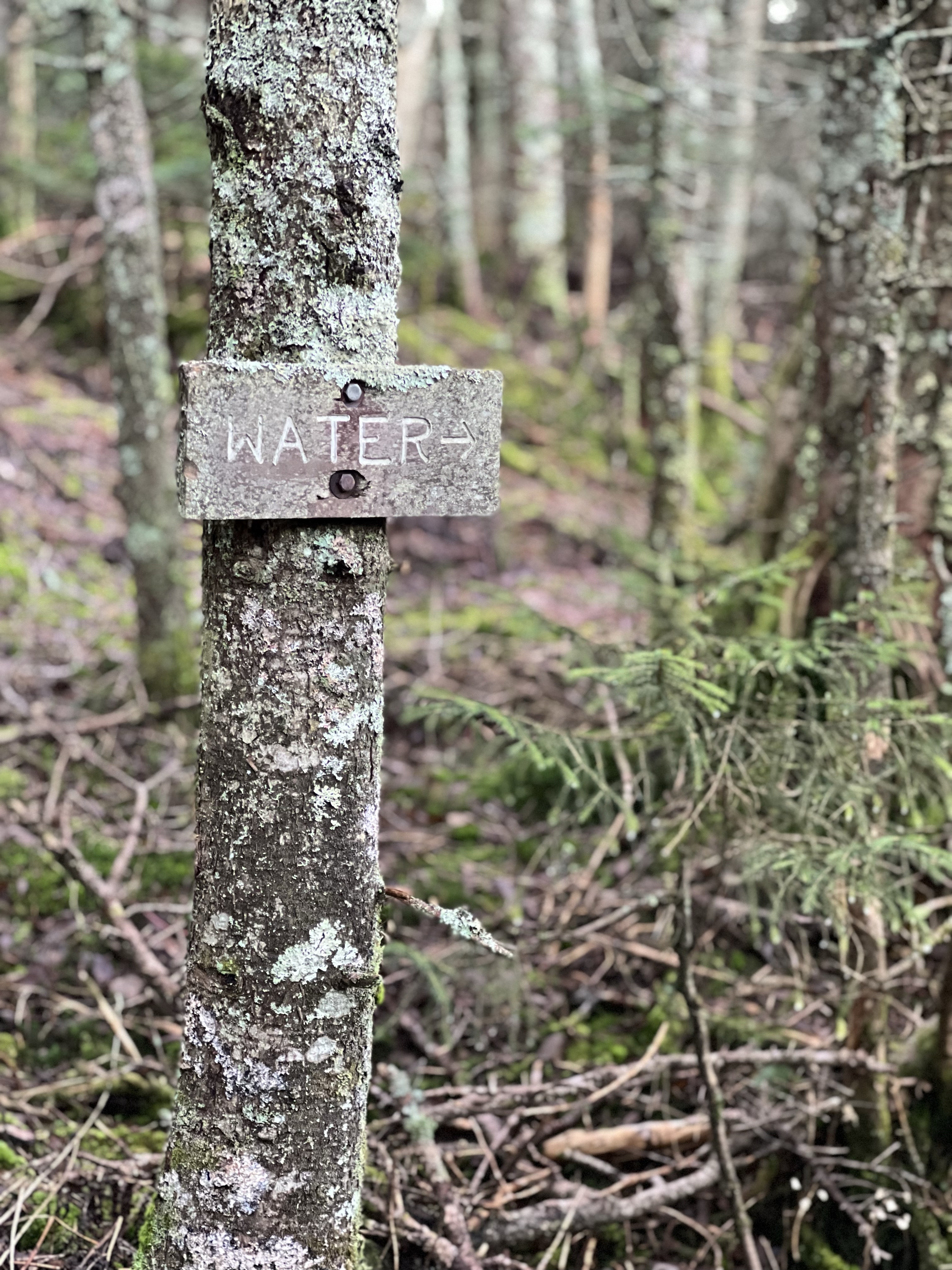
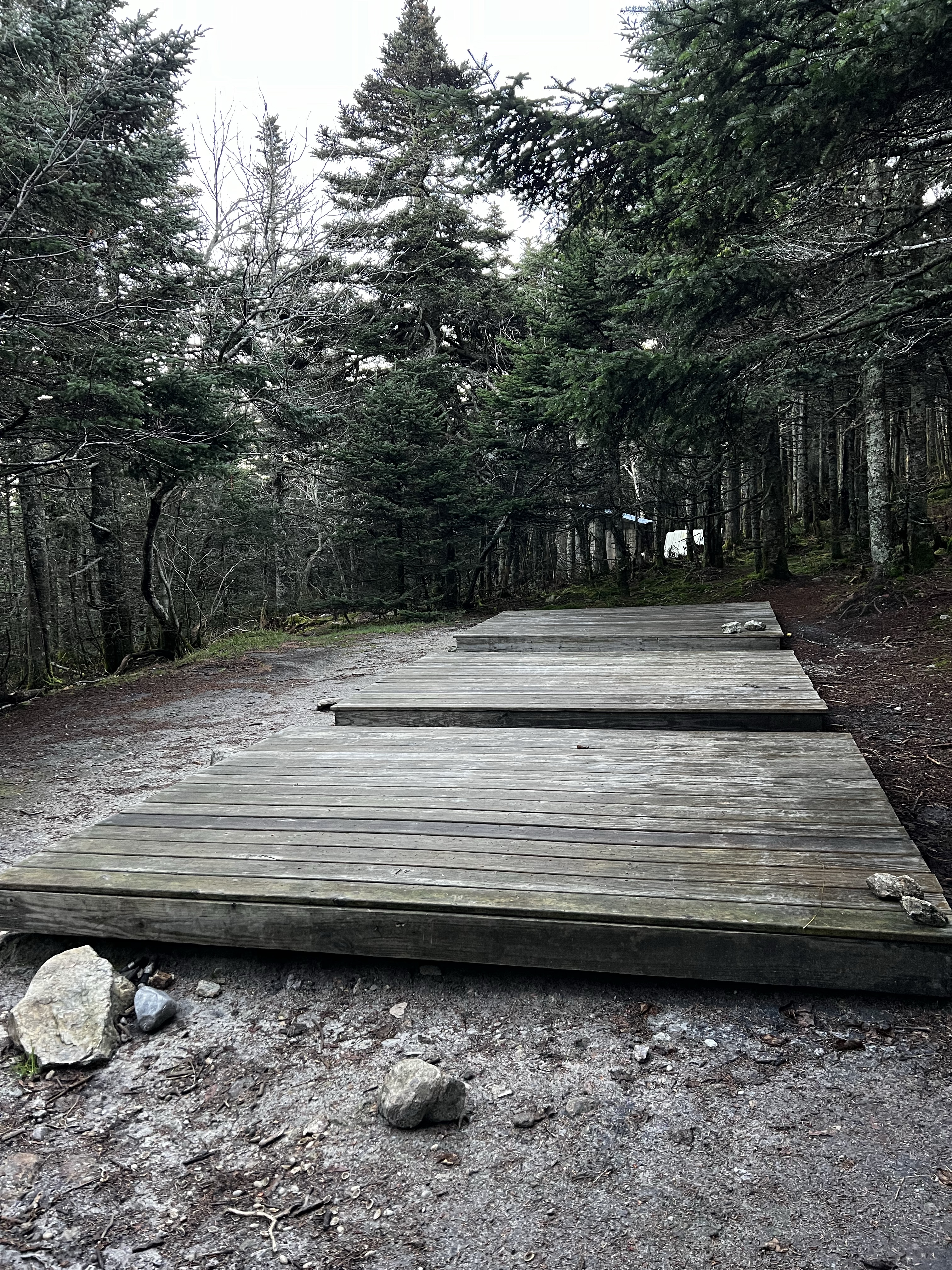
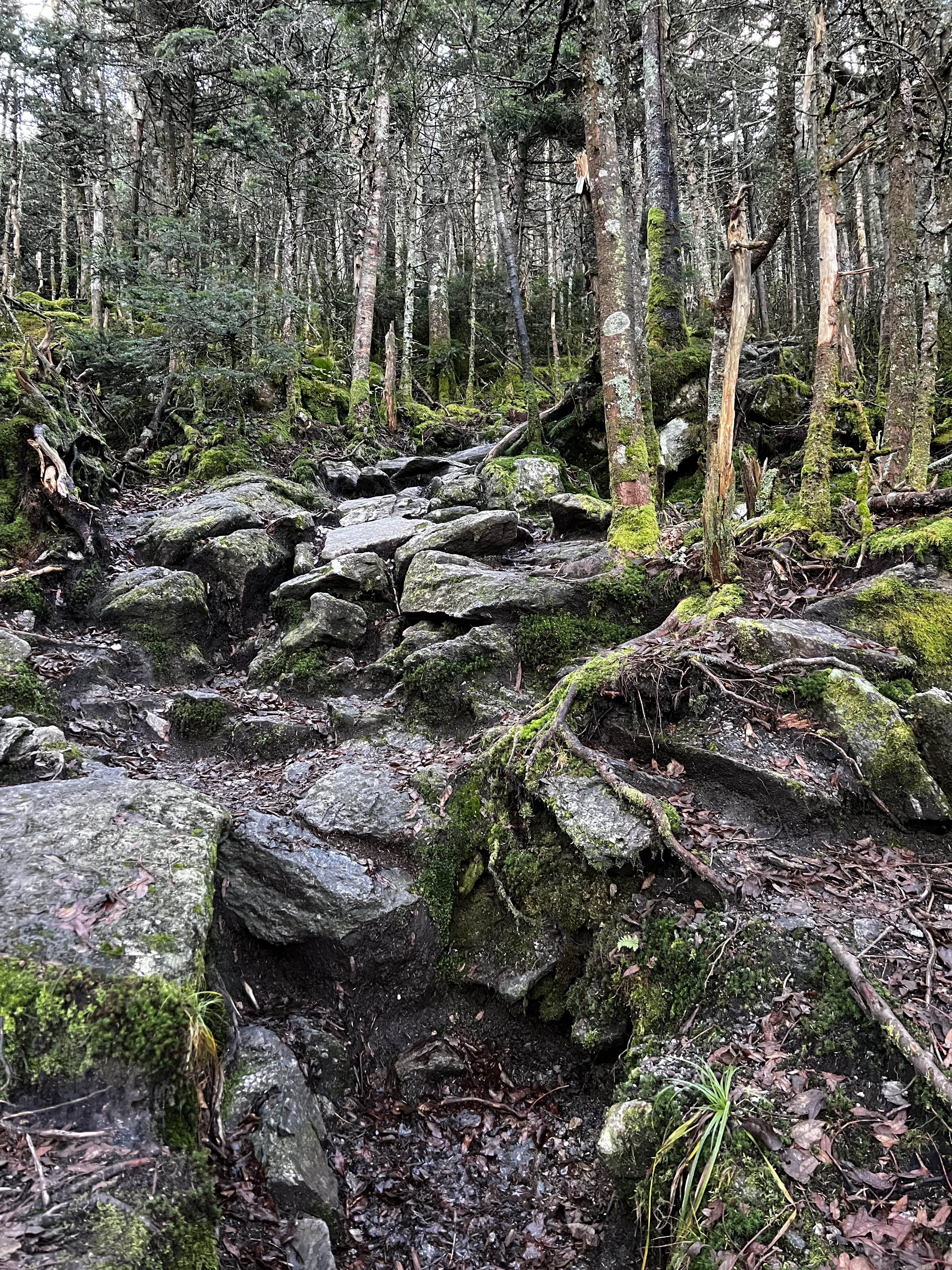
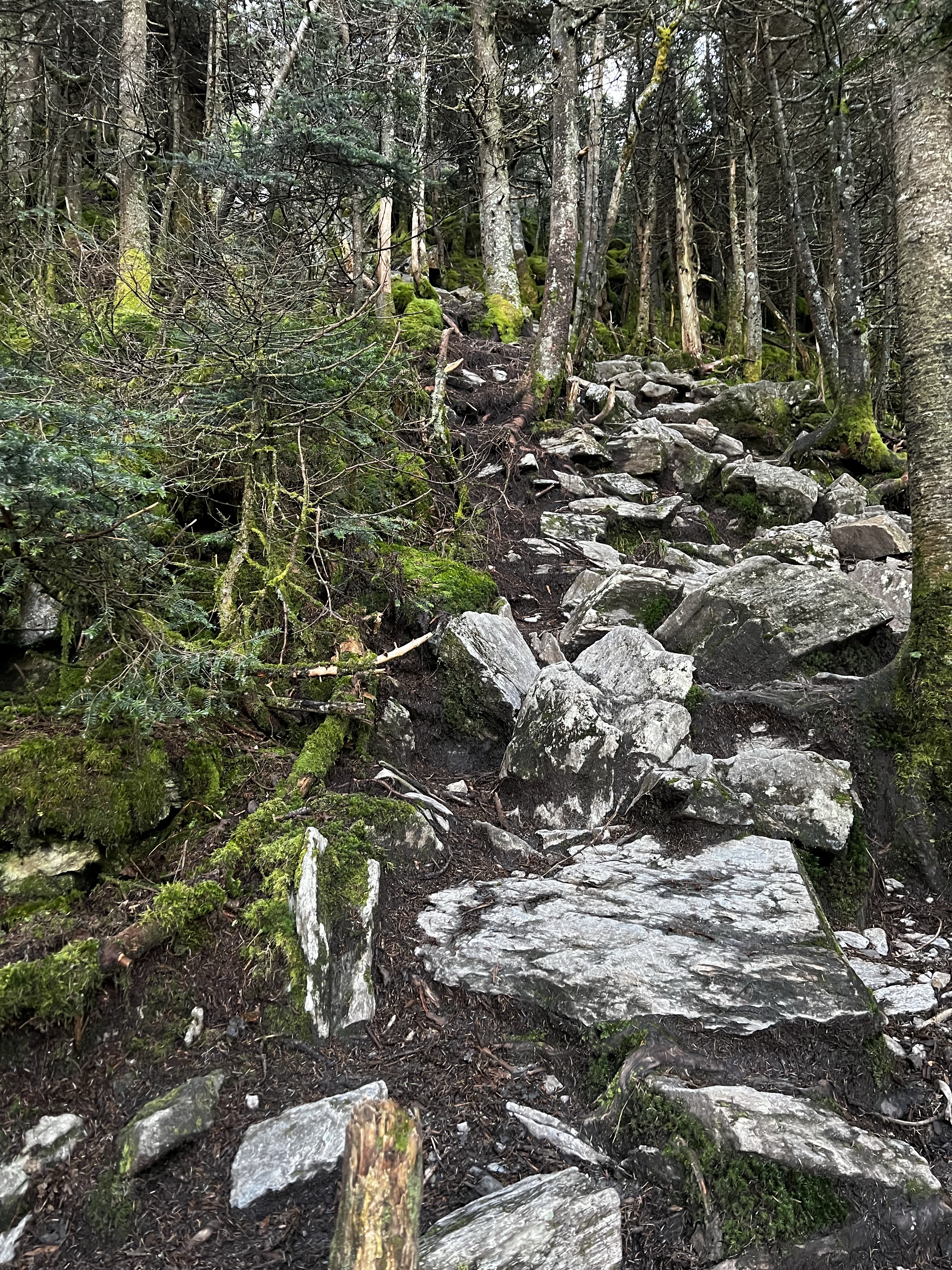
At just over 2 miles in the trail made a turn to the west. The incline increased as I anticipated but not to the degree I thought it would. It was definitely steep though. Over the next mile or so I gained elevation steadily as the sun came up. The surroundings were beautiful. Autumn in New England was on its last leg but still very pretty. The water crossings, stonewalls, and falling leaves combined for a very peaceful yet strenuous hike. At approximately the 3 mile mark I came to a cabin. An old stone cabin stood in a small clearing. There were signs around it that appeared to direct skiers back to the Killington resort which was about a quarter of a mile away. I wandered around the cabin trying to see in. I was apprehensive to open the door so I continued walking and found 3 tent platforms just above it.


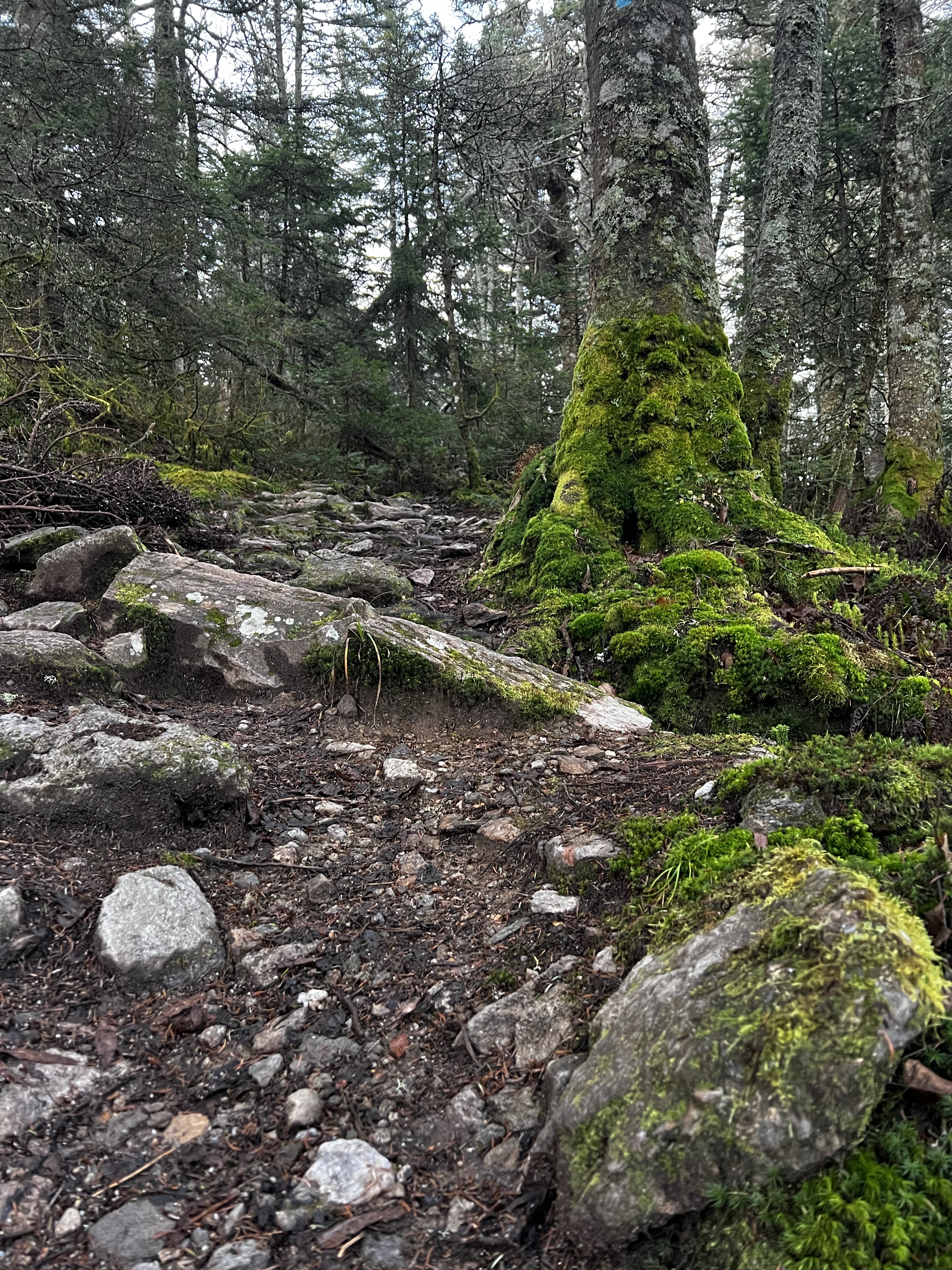

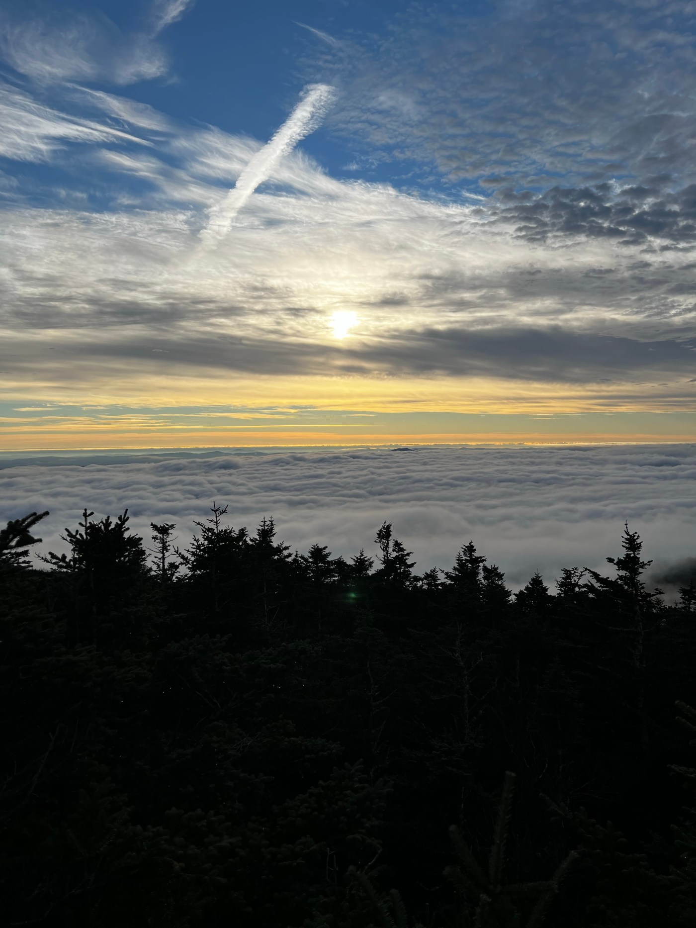
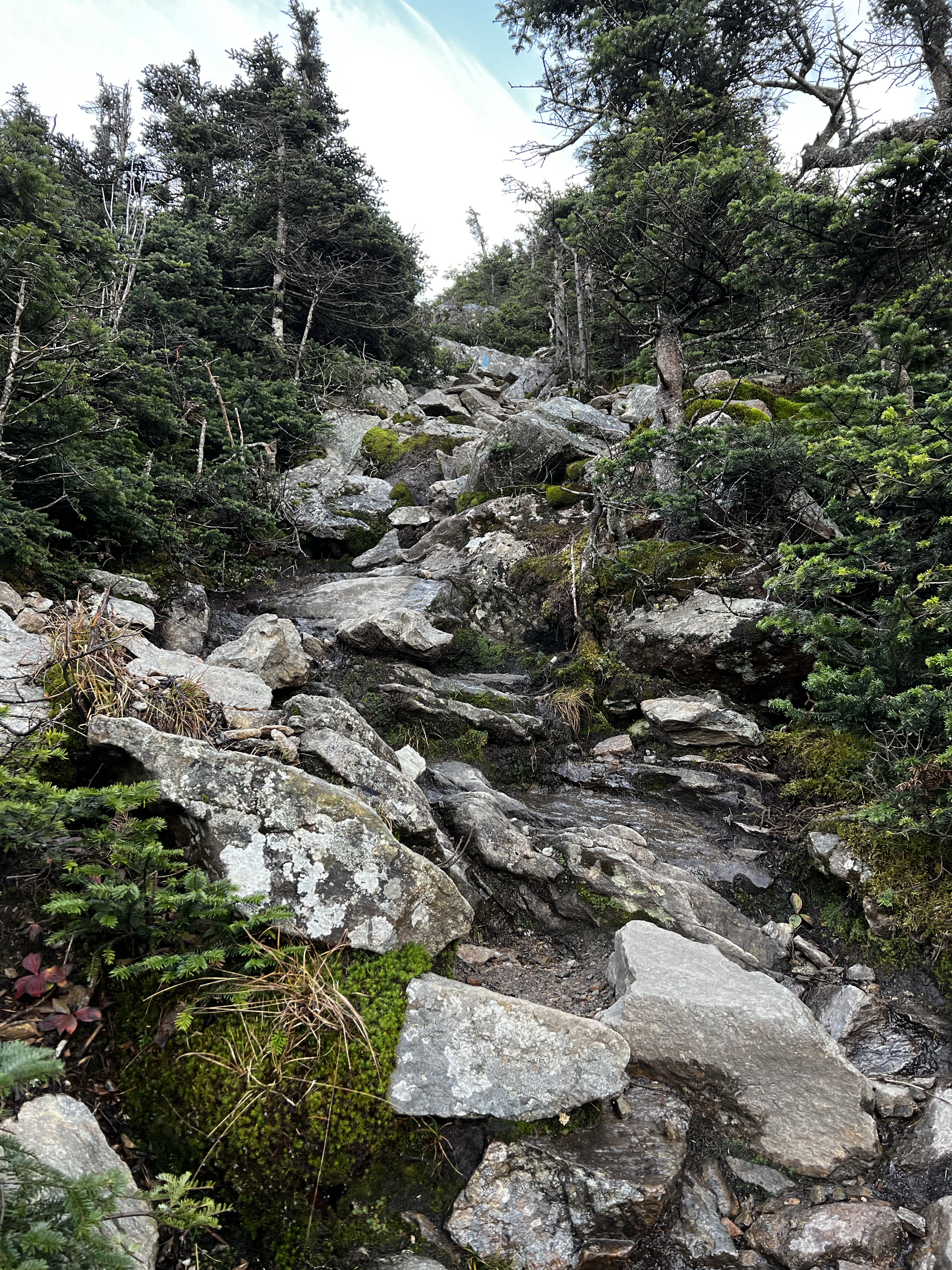
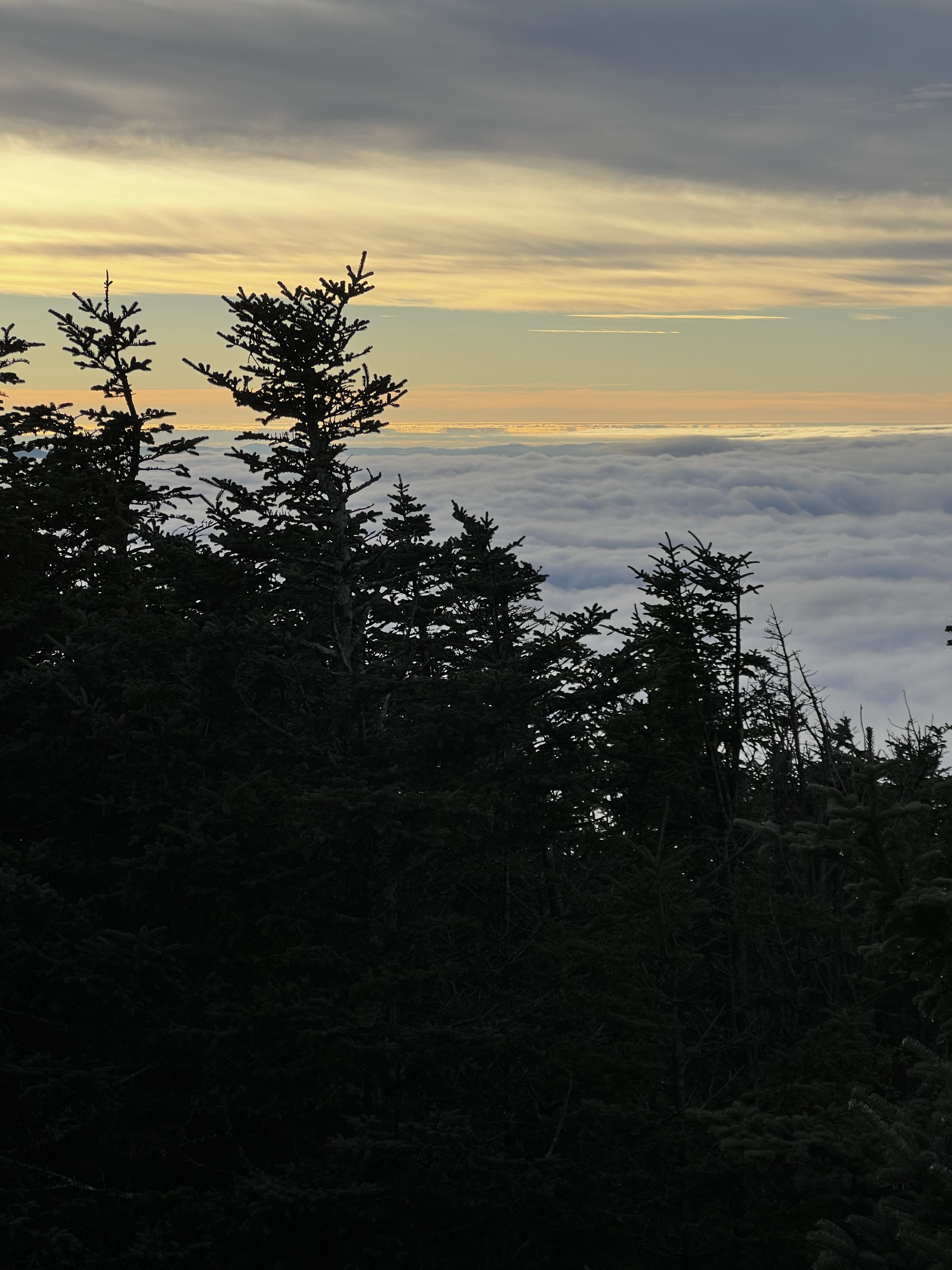
The sign said .2 miles from here to the summit via the Summit Spur. It felt more like a half mile. This section of trail from the tent sire to the summit was almost verticle. I began the climb up the relentlessly steep trail. It was a field of boulders with water running through in many locations. As I ascended the temperature was dropping a bit. It was 32 at the tent site. It had dropped a couple of degrees on my way u through this section. It was becoming difficult to tell what was ice and what was just wet. I was avoiding all wet parts now, in case was ice. It was very steep and not a good place to fall. There were several spots through this steep section where I was able to get some views. The undercast as I looked north was just amazing.


The reward for enduring the steeps was one of the best views I have seen. Those who go up there understand the magic of a clear view with undercast. The sun was breaking through the overcast making the undercast look like cotton candy.


I made a point to spend a lot of extra time on the summit of Killington. I walked from the summit down Cat Walk to the unloading dock of the K1 Gondola and Summit lodge. From the lodge, there was an amazing walkway to another summit where I found snow guns blowing snow.
I made my way back to the main summit where I spent some more time. The light was changing quickly and the views with it. It just wasn’t getting old. When it did come time to go back down, the top section was very slow and slippery. Once to the tent site, it was smooth. The sun was obscured by the clouds which made for the classic fall New England walk in the woods. Toward the bottom, almost to the parking area, There was a bridge and an amazing waterfall.
This was a great hike and I look forward to the rea=maining four 4000 footers in Vermont.
| Miles | Elev Gain | Time |
| 9 | 2,883′ | 4:50 |

I can’t believe you never see snakes! That cabin is a good place for vt.snakes!what a great job you do Michael. That cat walk alone would have done me in. My knees would still be there
LikeLike