As you learned from my last post, I was not impressed with my accommodations. Over priced and smelled strange. Didn’t stink really, just smelled weird. I adjusted and actually got a good nights sleep after some final research and reading in my White Mountain Guide (mountain trail bible). I was able to sleep in until 4:30.
This was to be the day that I finish the 48 4000 footers in New Hampshire. I had been debating where to actually finish. Carrigain, Flume and Liberty were the choices. Liberty and Flume can be done together pretty easily so it was 2 hikes left. Carrigain is a very popular finishing summit. The views are incredible. They say you can see 43 of the 48 4000 footers from its summit. I started the quest on Franconia Ridge and Liberty and Flume are on the southern end of that ridge. My thought was I could ascend Flume, make way over to Liberty and then walk the rest of the ridge over Lincoln and Lafayette. Kind of an emotional ending on the ridge, ending where it started. So, both Carrigain and Liberty/Flume were good choices. I decided on the emotional finish, Liberty and Flume (with some help from a Facebook poll).
My plan for today was to ascend Flume via Flume Slide Trail. A tough trail but I had done Cannon and Owls Head as prep. I made my way to The Basin parking lot for a 5:30 am start. A heavy dew had settled on everything over night. It was pretty chilly. The bike path leading to Liberty Springs trail was noticeably wet. I knew that Flume Slide could be dangerous if wet. I really wanted Liberty to be number 48 but I was thinking its smarter to avoid Flume Slide this morning. Liberty would be 47 and Flume 48, just because you cant get to Flume without going over Liberty.
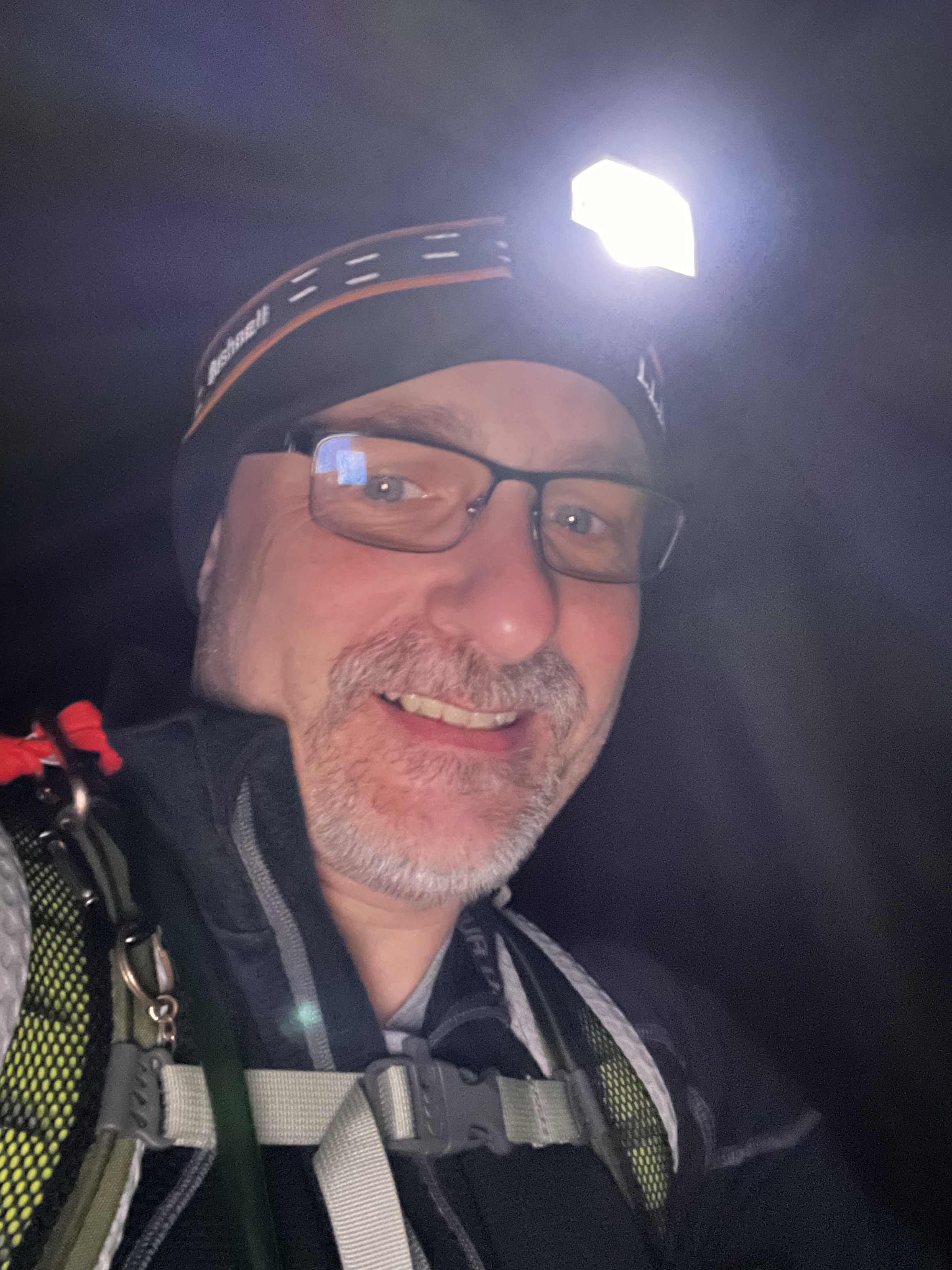
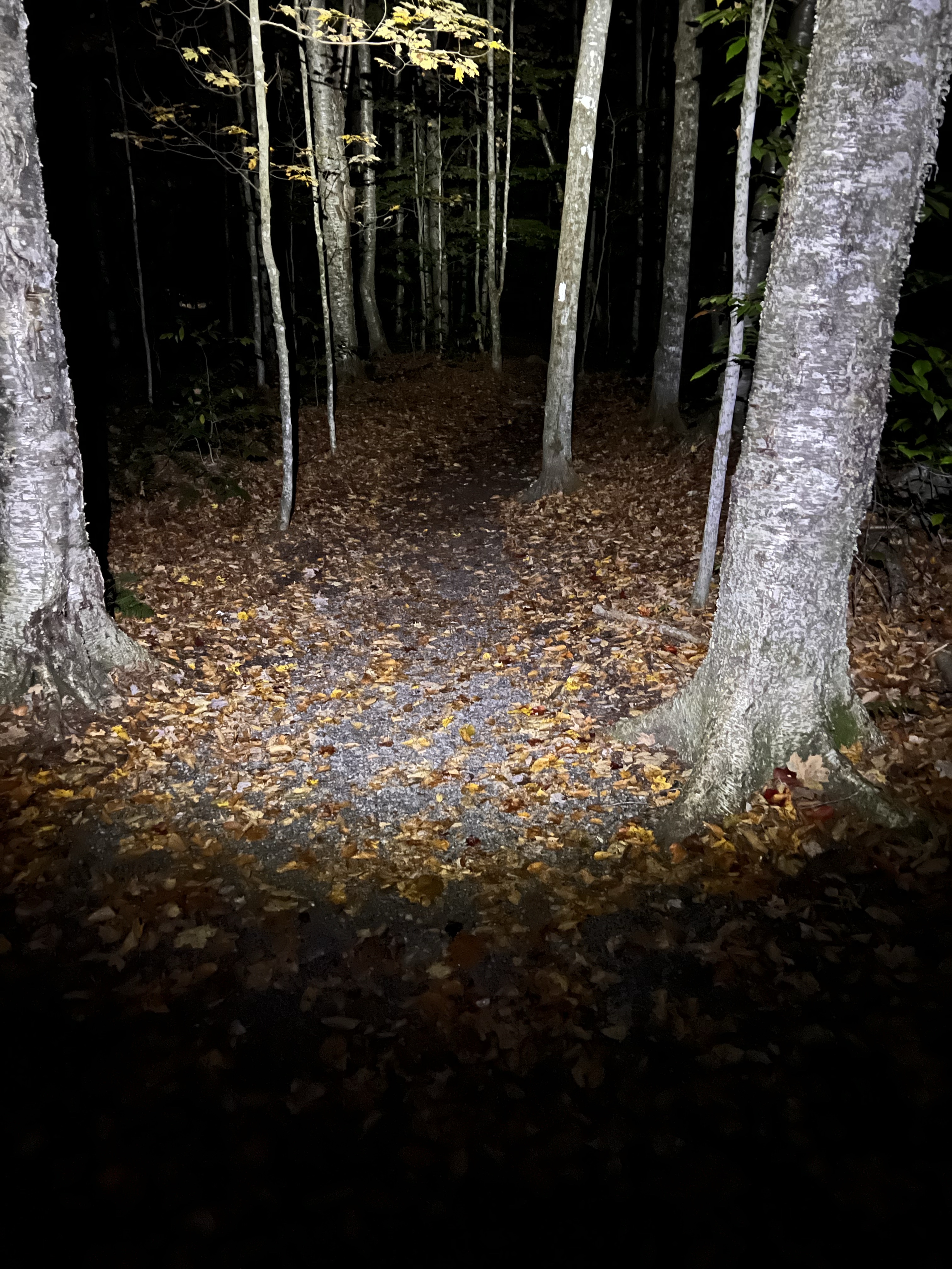
It was a dark and chilly start to the day. I don’t know about others, but I definitely find it a little creepy in the woods alone in the dark. I actually hiked the first mile or so with my bear spray in hand, safety off.
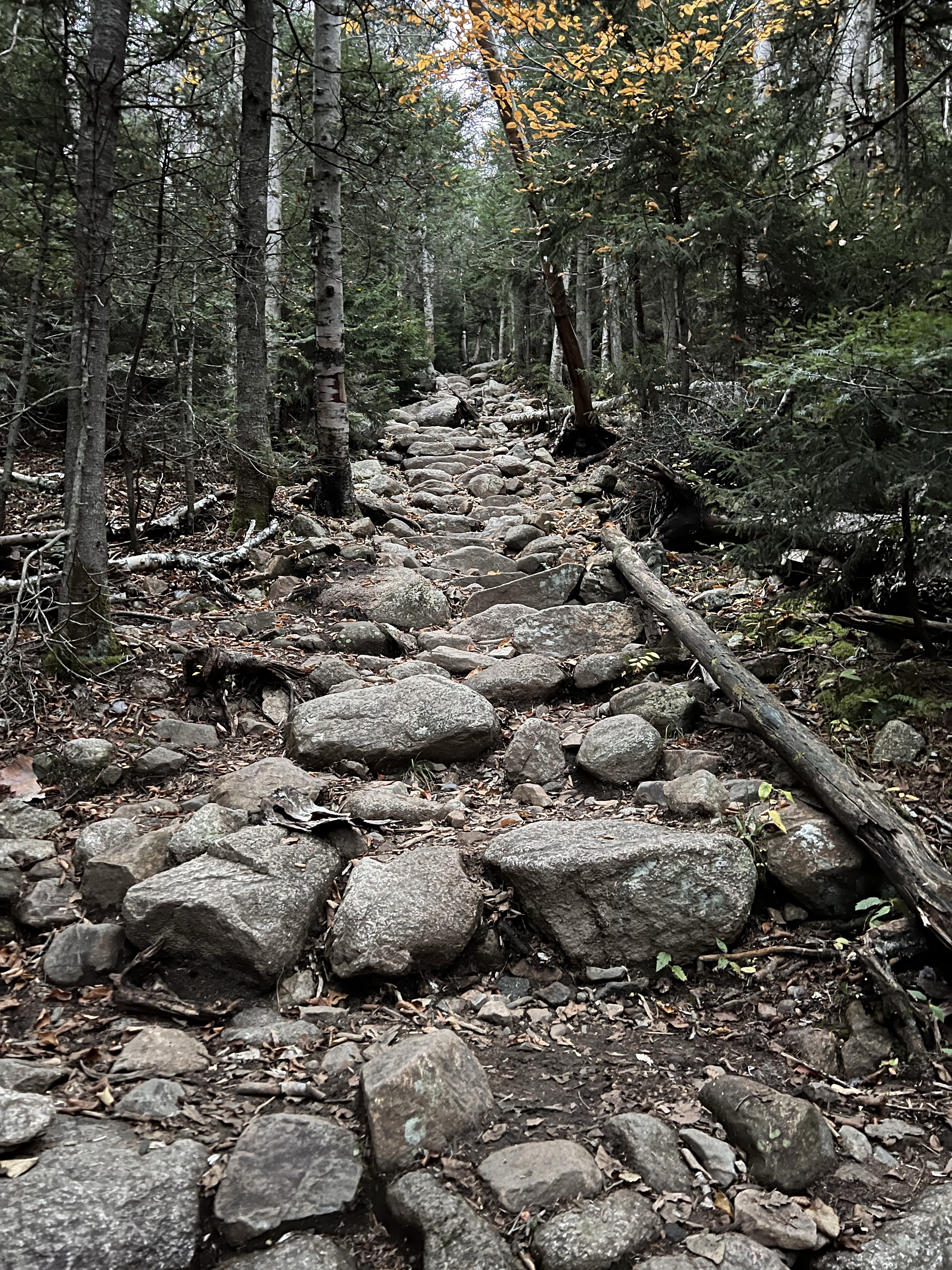
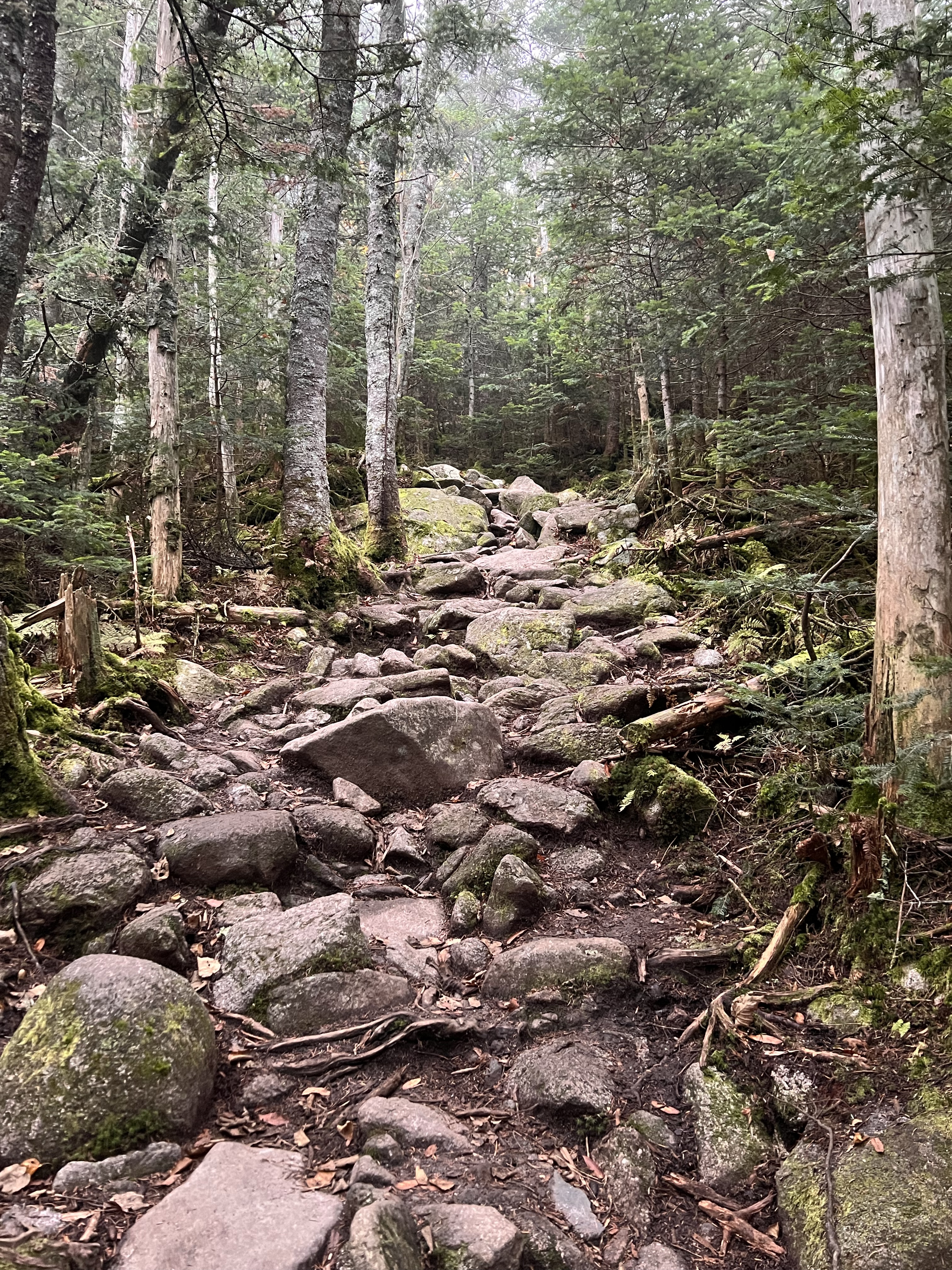
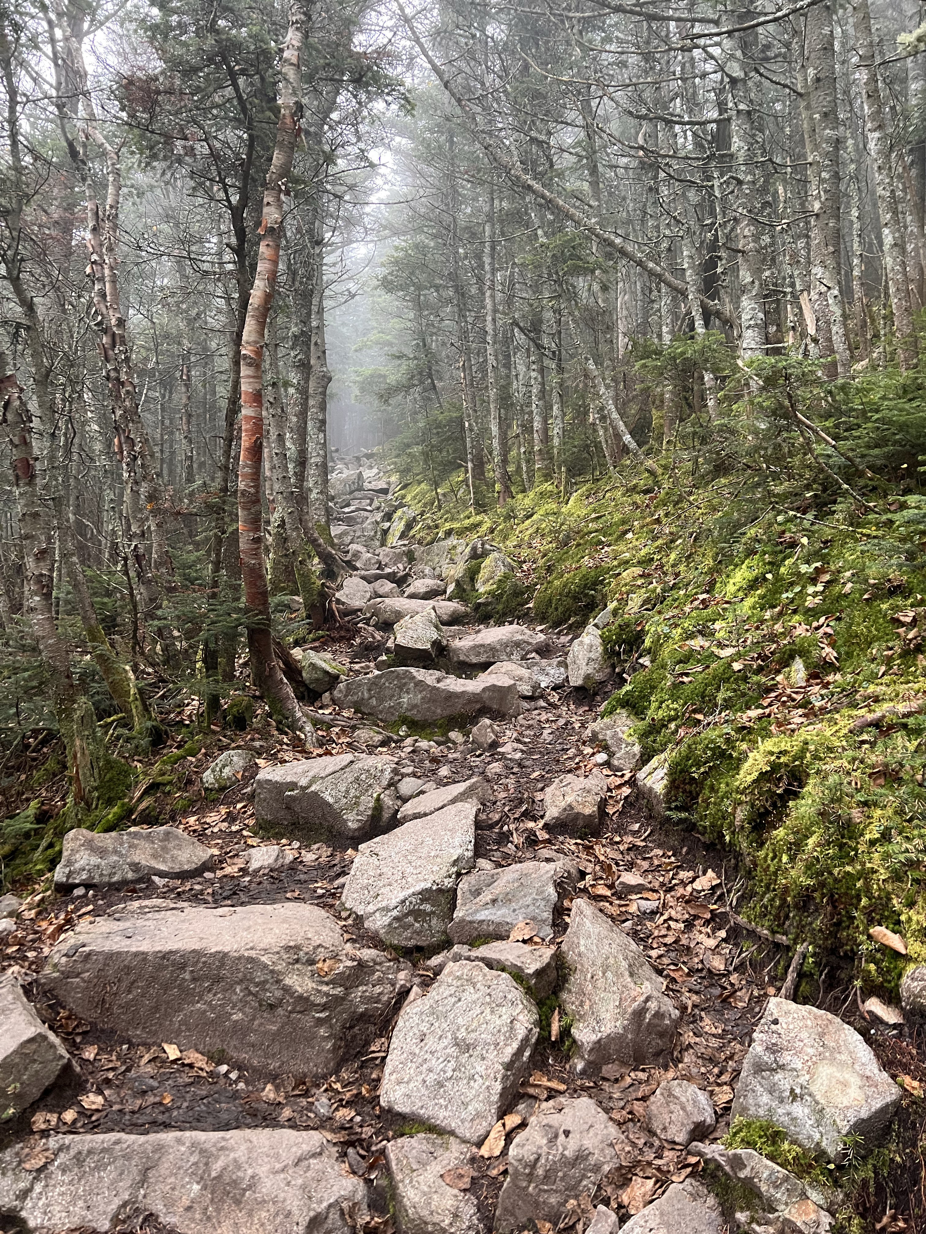
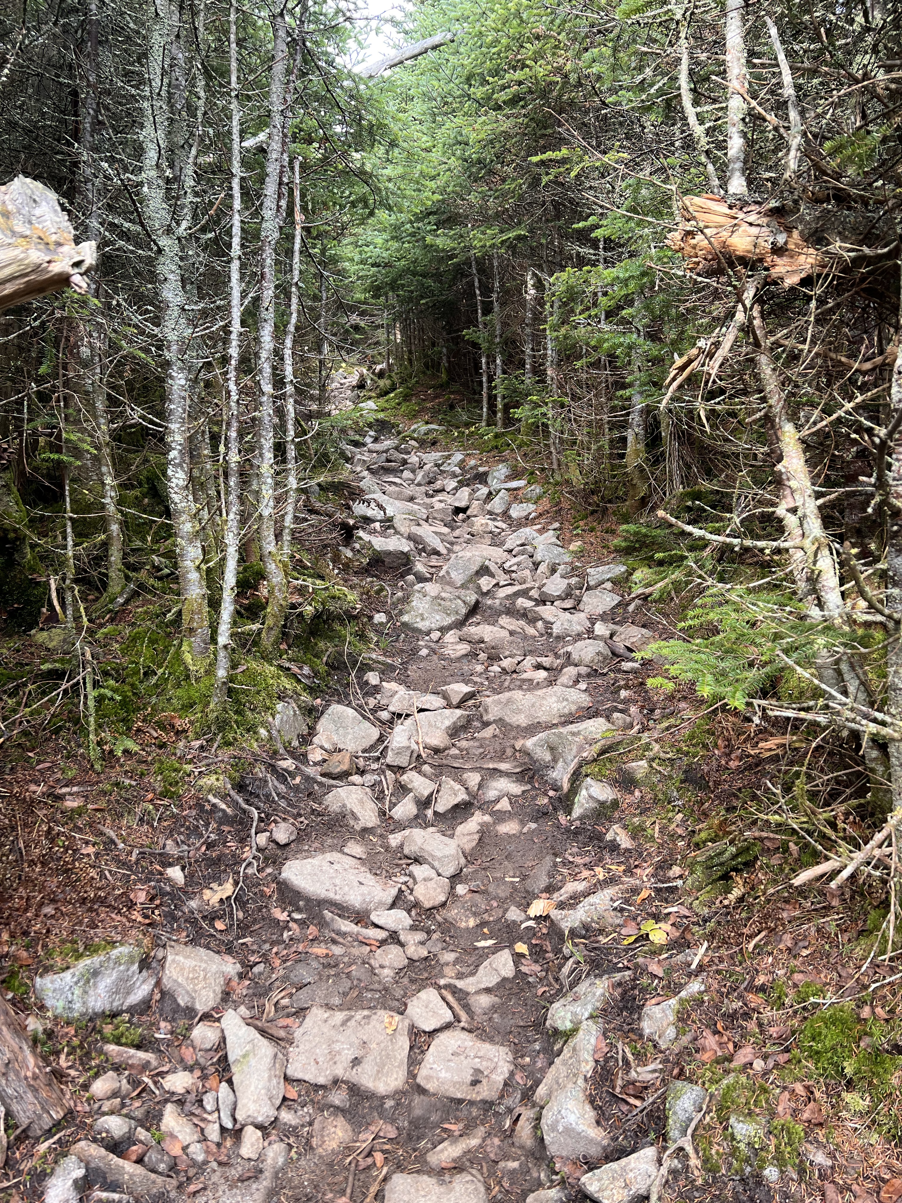
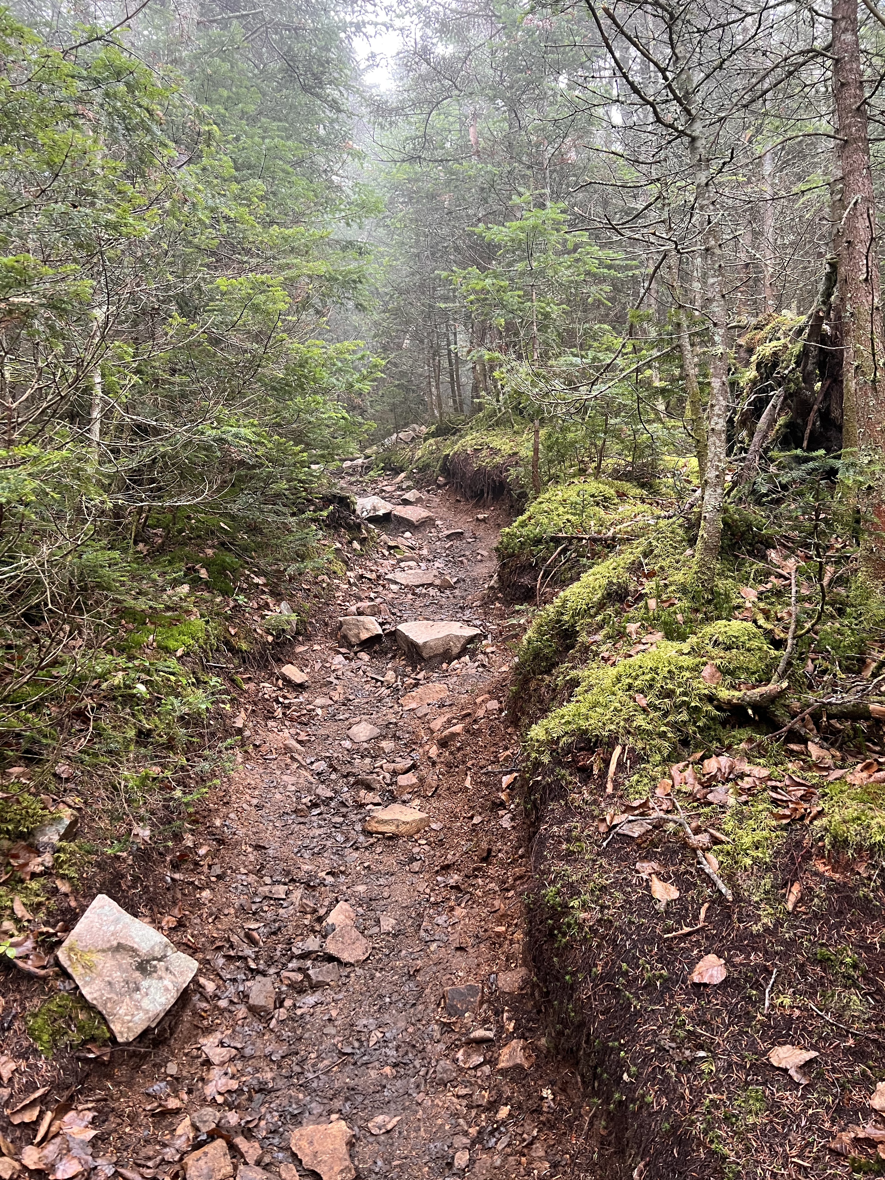
Liberty Springs trail does not offer the long easy lead in other recent trails have offered. It does not just go straight up, but definitely steep out of the gate. There were a few water crossings in the dark on the lower section of the trail..
At about the same time it began getting light enough to see without my headlamp, the trail made the turn. It went up. If you have ever driven through Franconia Notch, you have seen Mt Liberty on your right as you travel north. Its a classic peak that is very obviously steep.
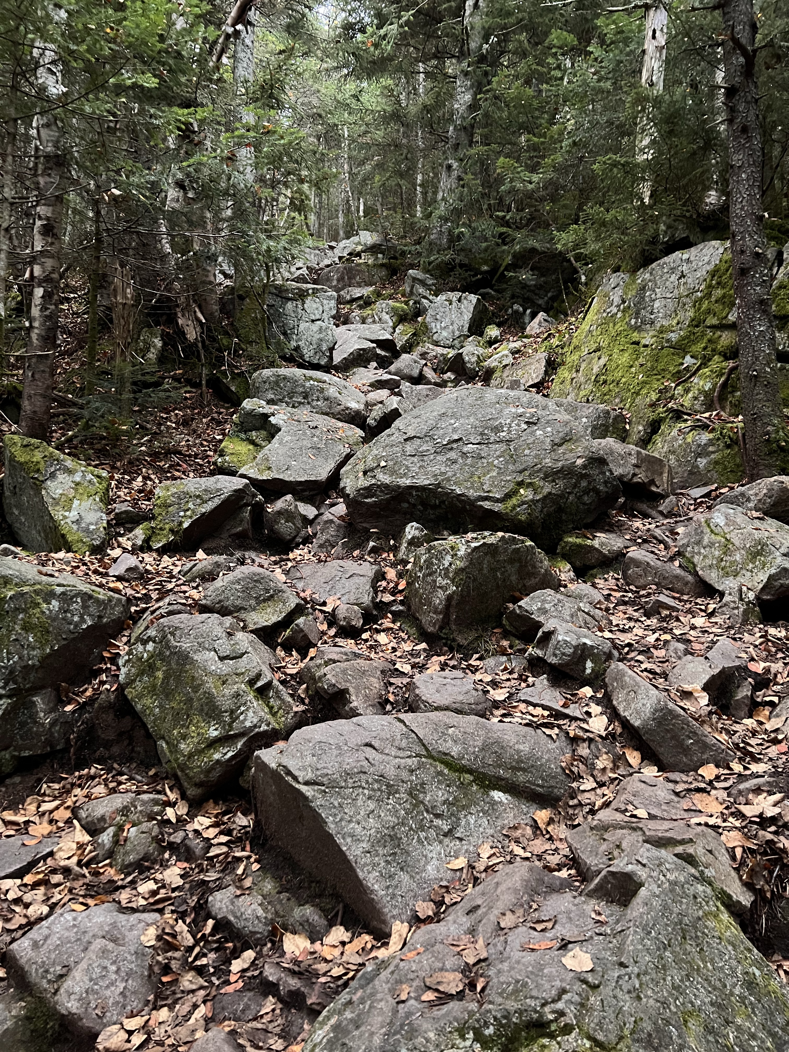
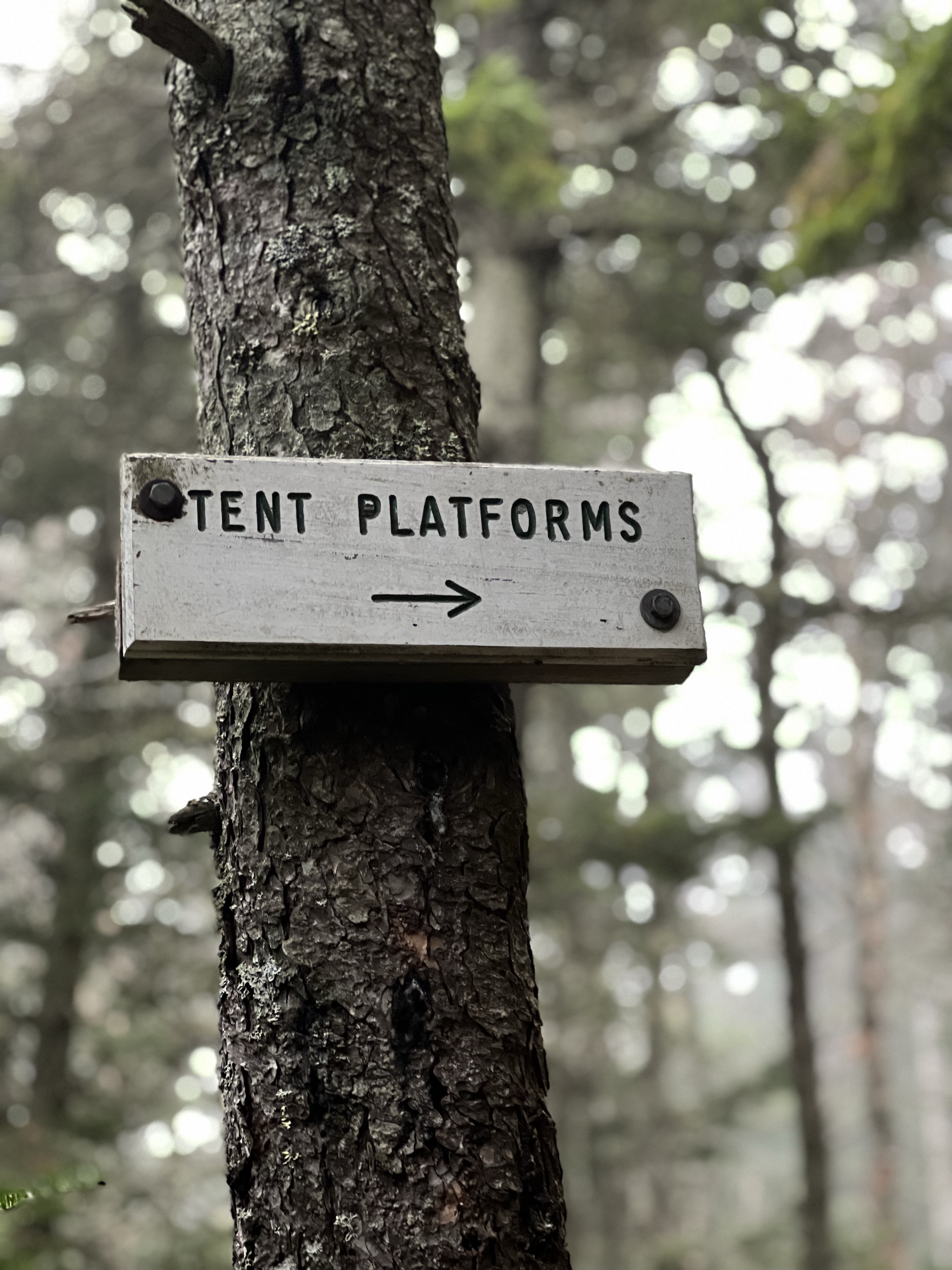
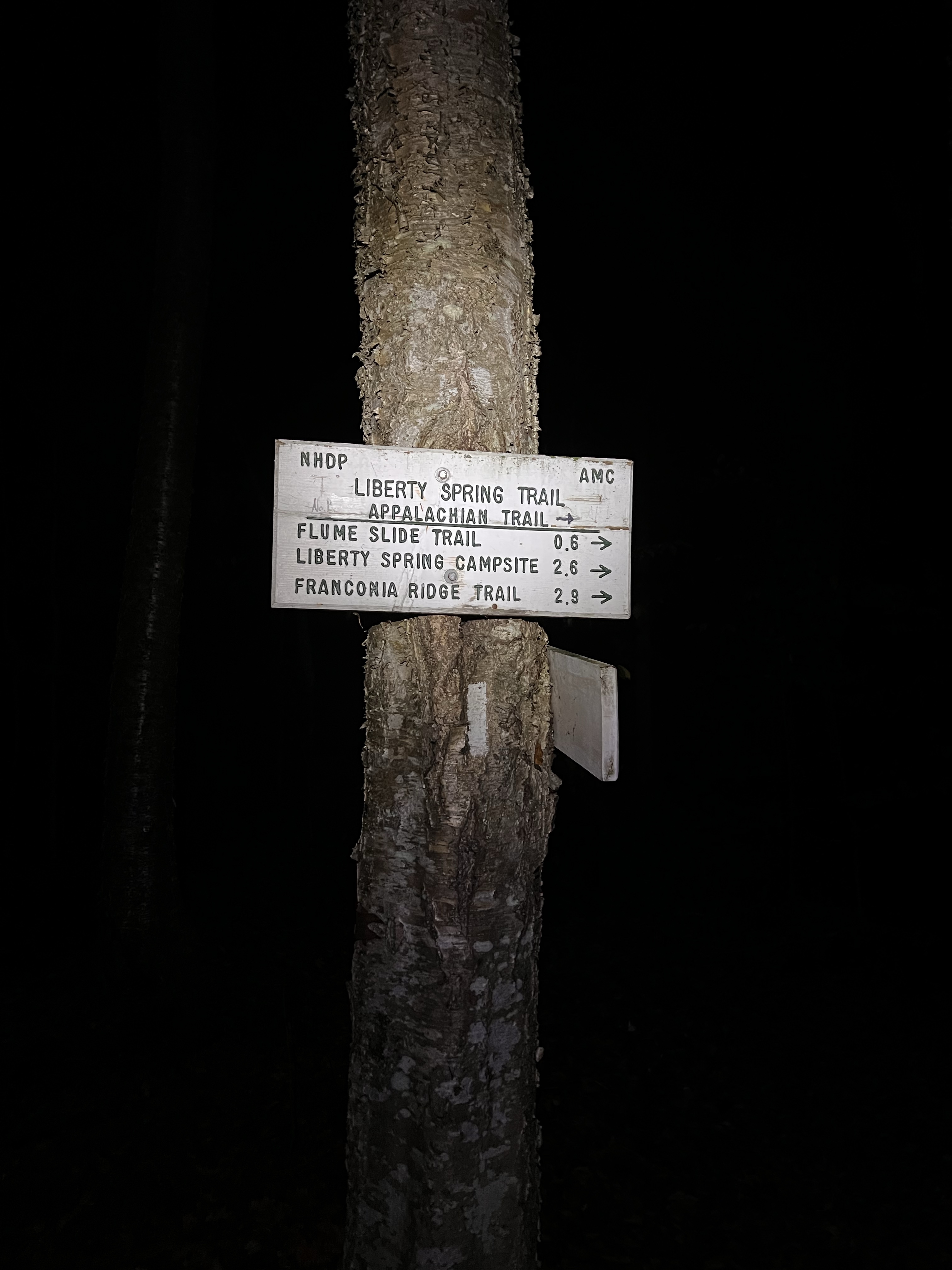
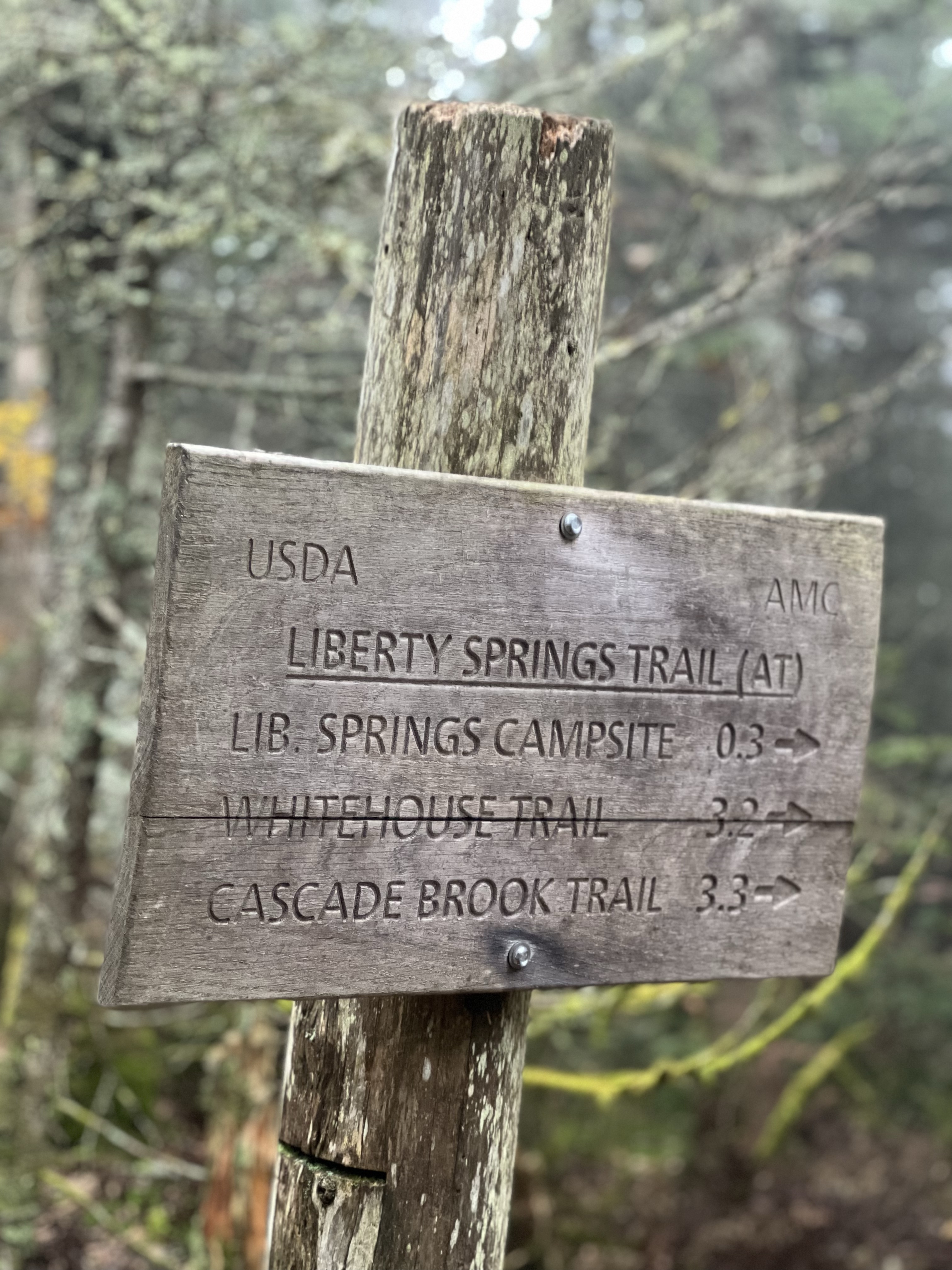
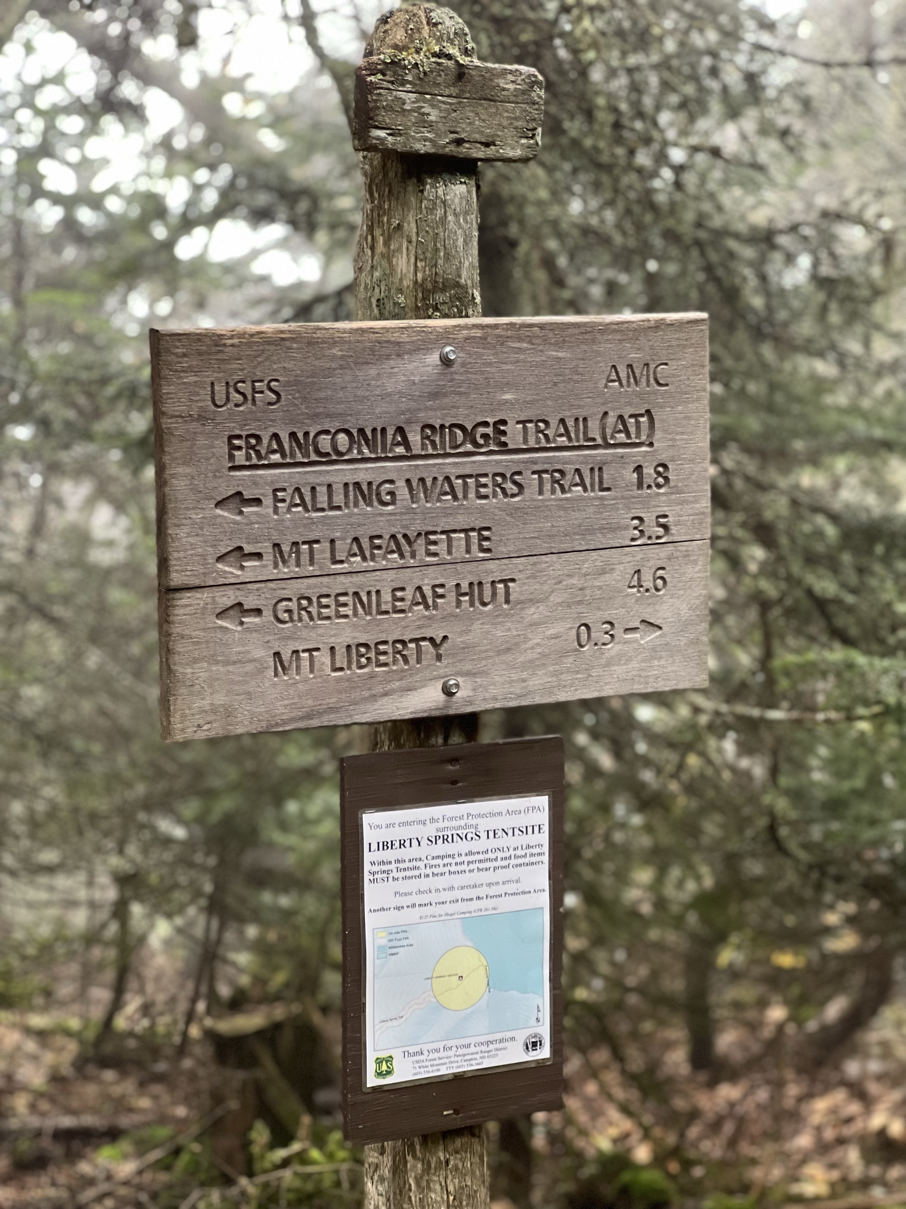
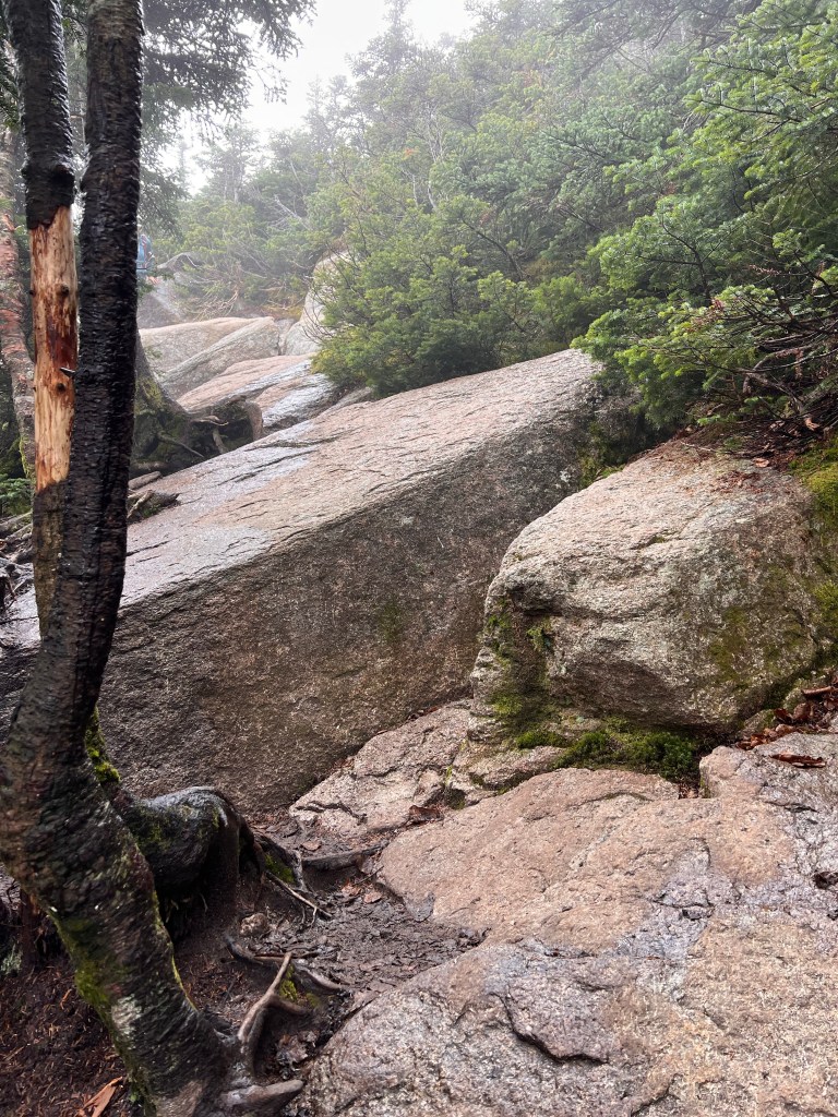
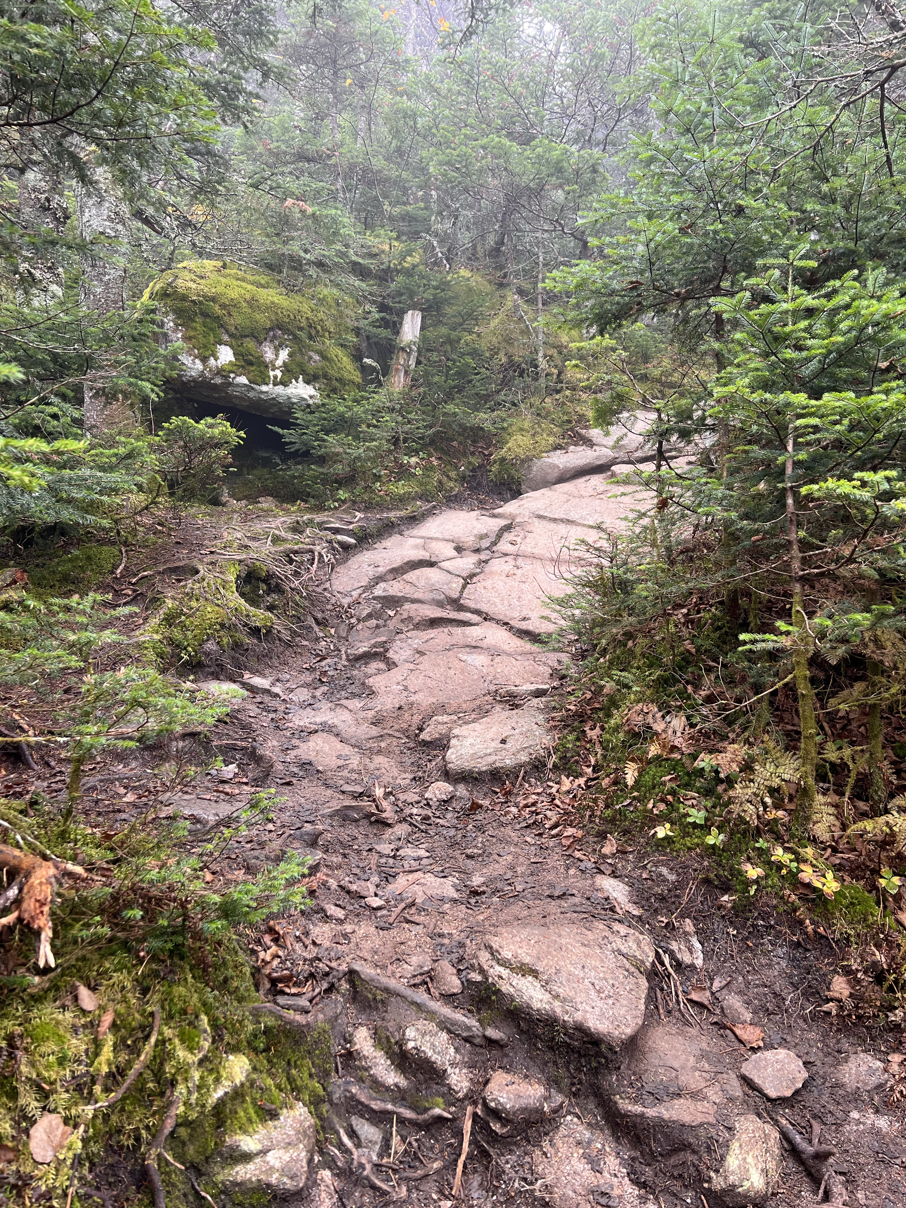
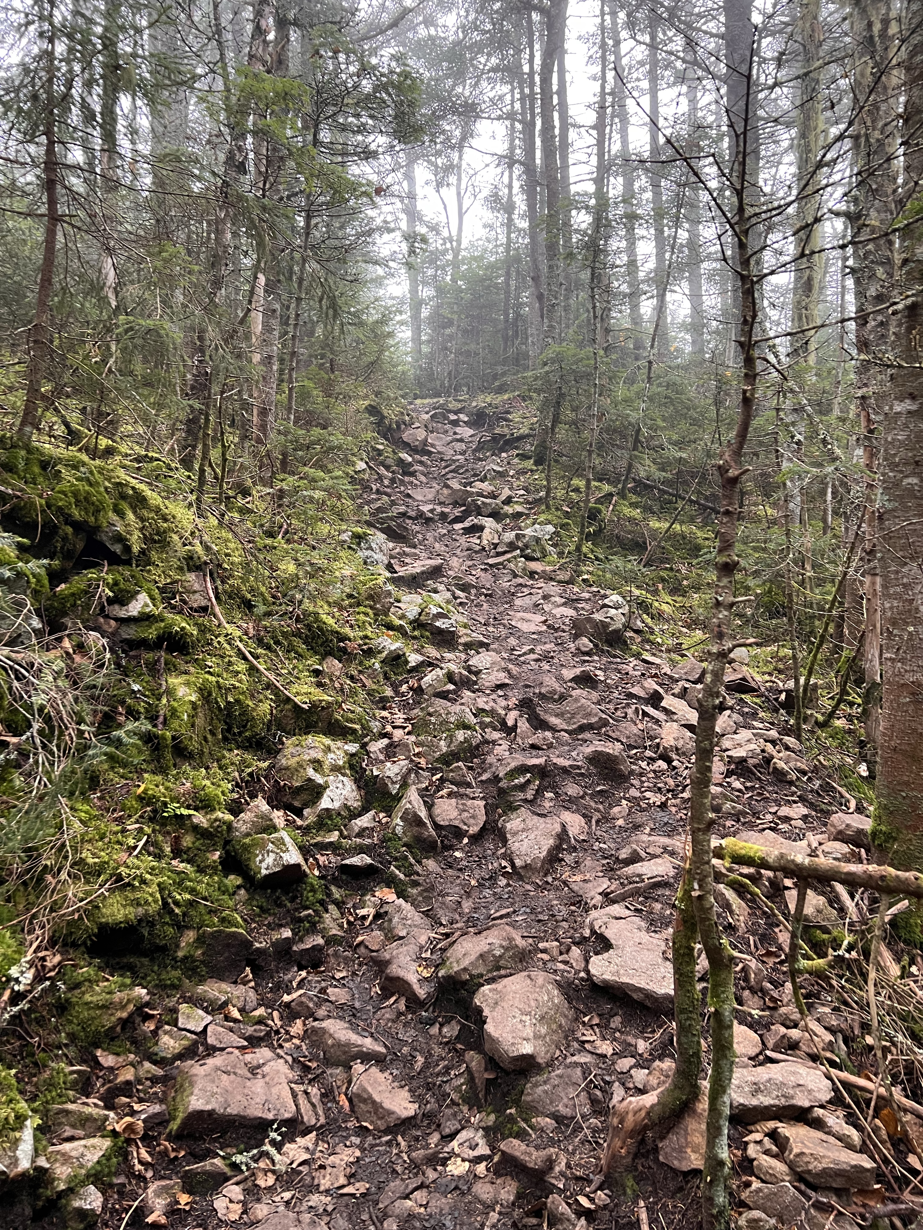
Getting to the Liberty Springs tent site marked more than half way. Just ahead would be the junction with the iconic Franconia Ridge Trail. The trail seemed to level slightly as I approached the junction. There I would turn right or south onto the Franconia Ridge trail toward the summit of Mt Liberty. The hike toward Mt Liberty was a welcome change from the steeps of Liberty Springs trail. As I approached the exposed summit area, it got steep with ledge and lots of exposure to the south. The clouds I was in now obscured the summit.
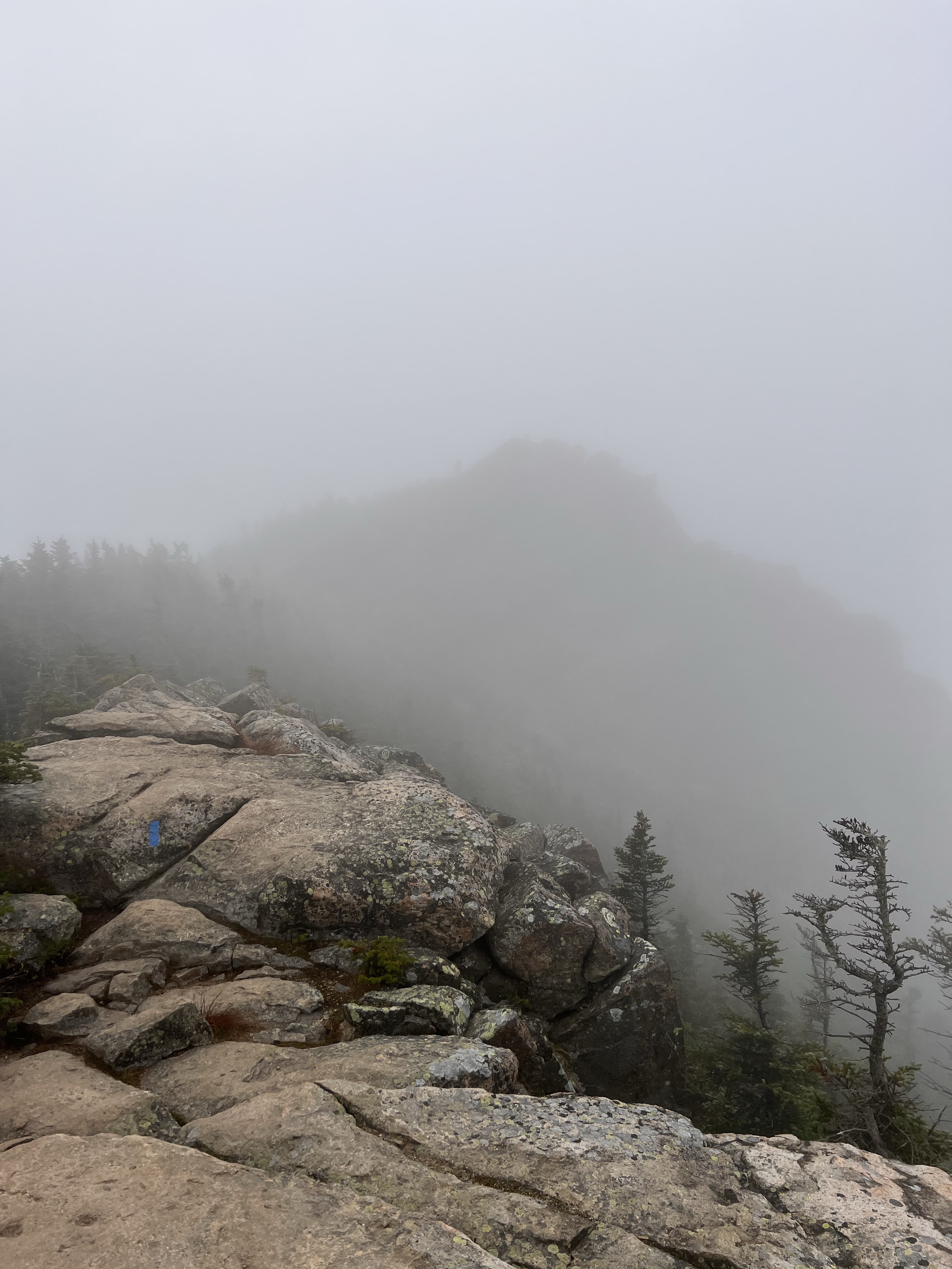
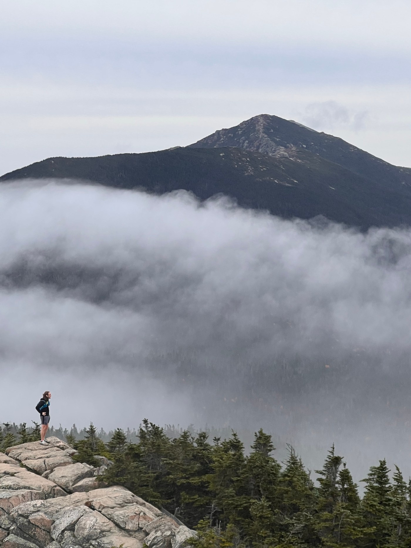
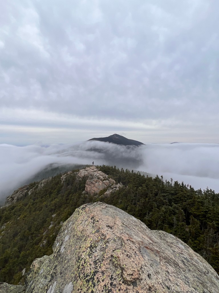
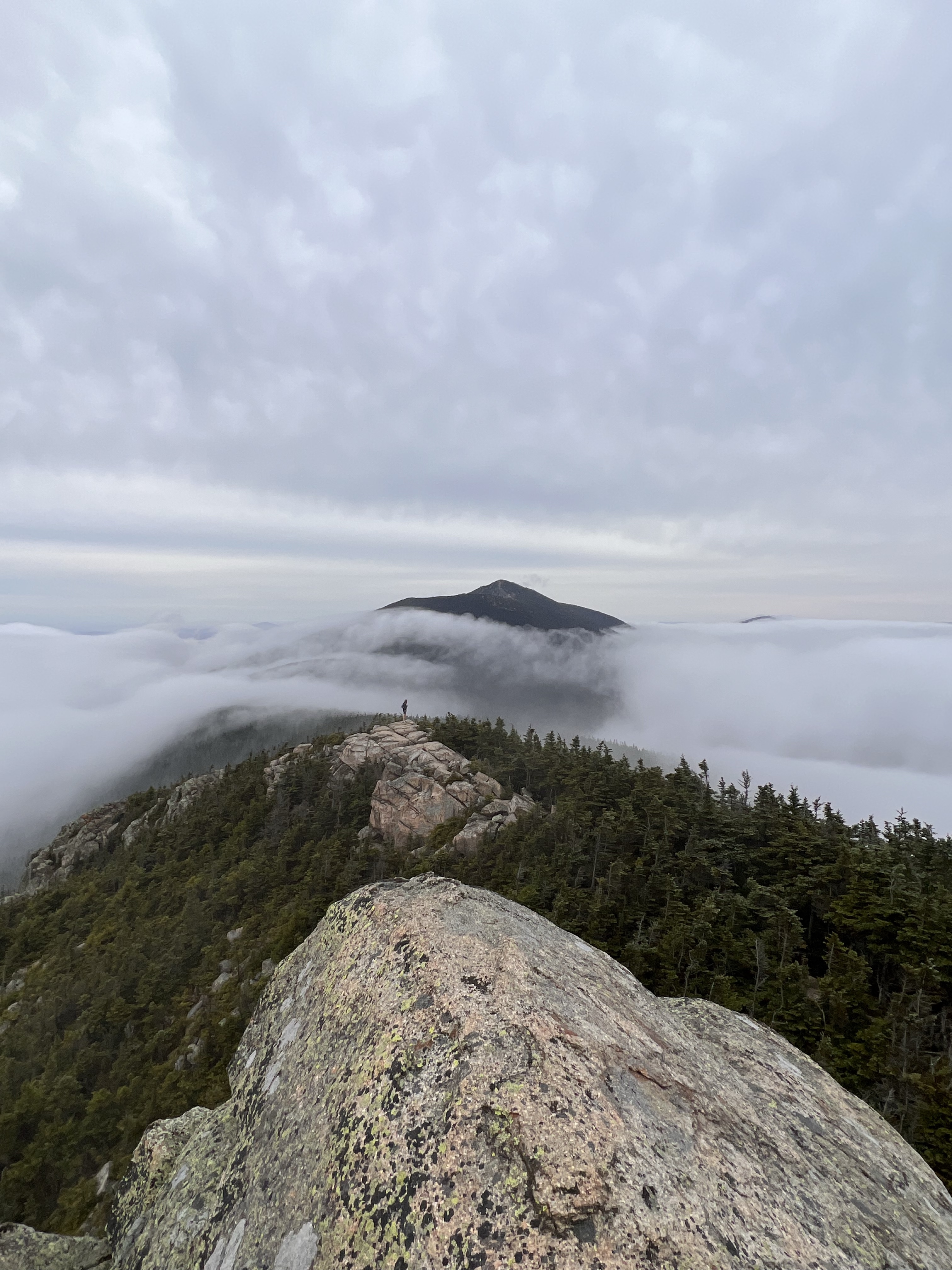
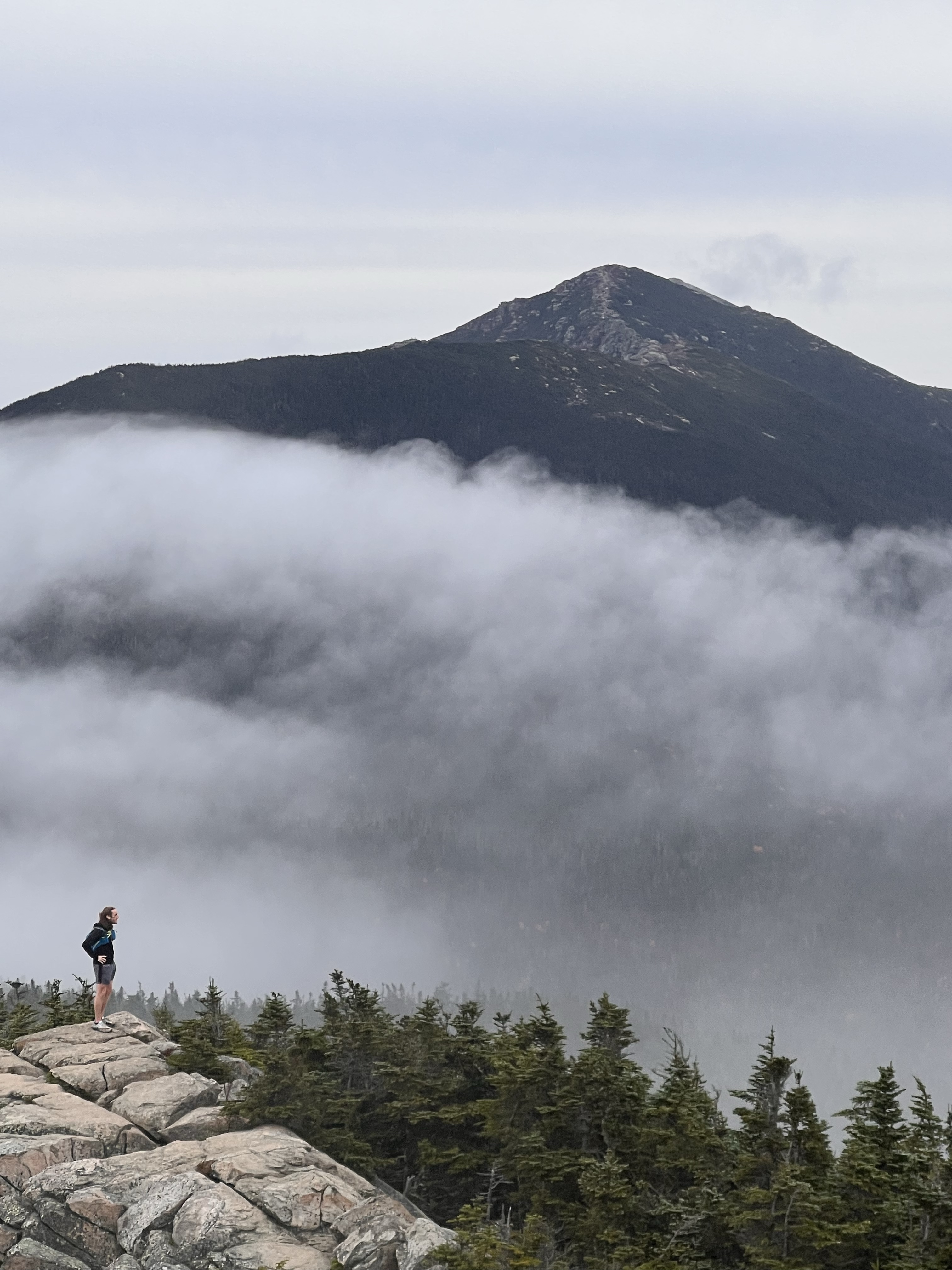
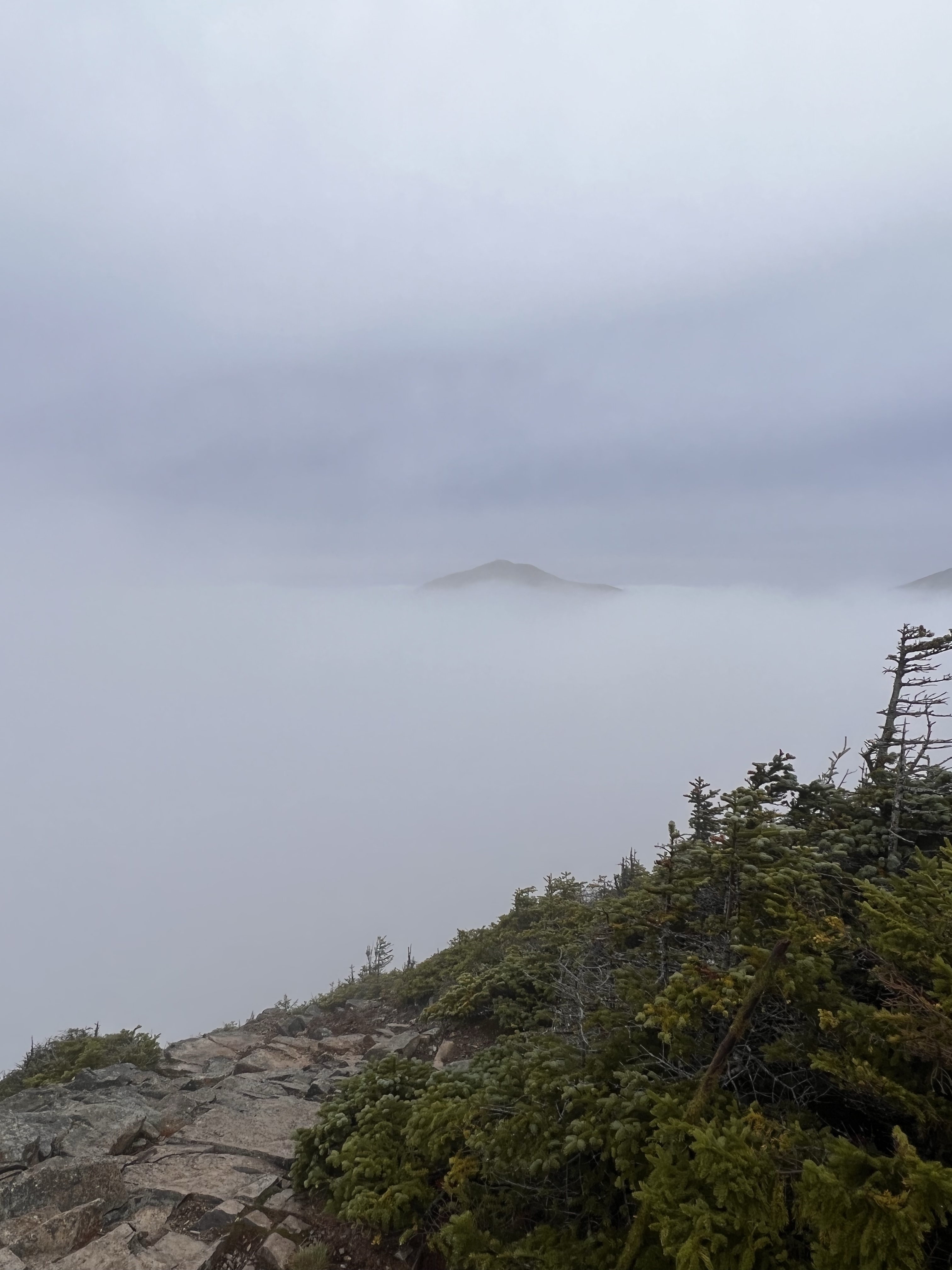
As I approached the summit of Mt Liberty, it got more windy and cold. Once over the ridge of a sub-speak, I found a sheltered spot to put my shell back on. I could see the silhouette of the actual summit through the clouds in the near distance. I put my pack back on and made my way in that direction. It was here that I passed the first hiker of the day. He was coming from Mt Flume and had just come off of the Liberty summit. We exchanged a brief hello as I made my way to the top of #47, Mt Liberty. Just as I got to the summit, the clouds parted. I looked north and could see the summit of the first 4000 footer I climbed about a year ago, Mt Lincoln. I could also see the hiker I had passed. He was on the sub peak I had just left. We both were amazed at what we were seeing. He yelled to me something to like “Can you believe what we are seeing?”. I could not. We were strangers but in that moment we weren’t. It was very cool. Below is what we saw. You can see him standing on the sub peak.
The views came and went as the clouds at times gave way. I enjoyed this for a bit and then continued to the southwest, toward Mt Flume. The descent from Mt Liberty kind of caught me off guard. I made an assumption that the mile between the two peaks would be a breeze. It was so far from that. The descent started with a kind of scary ledge. It was a 30 degree downward sloping rock ledge that ended in about a 40 foot drop. It was steep enough and in conjunction with where it lead I was uncomfortable walking across it. The top of the ledge had a gap between itself and another higher ledge. I was able to sit with one leg hanging in the gap and one on the steep ledge face and scoot along across this section. Not a lot of fun but it was in the way of getting to the finale on Mt Flume. Had to be done.
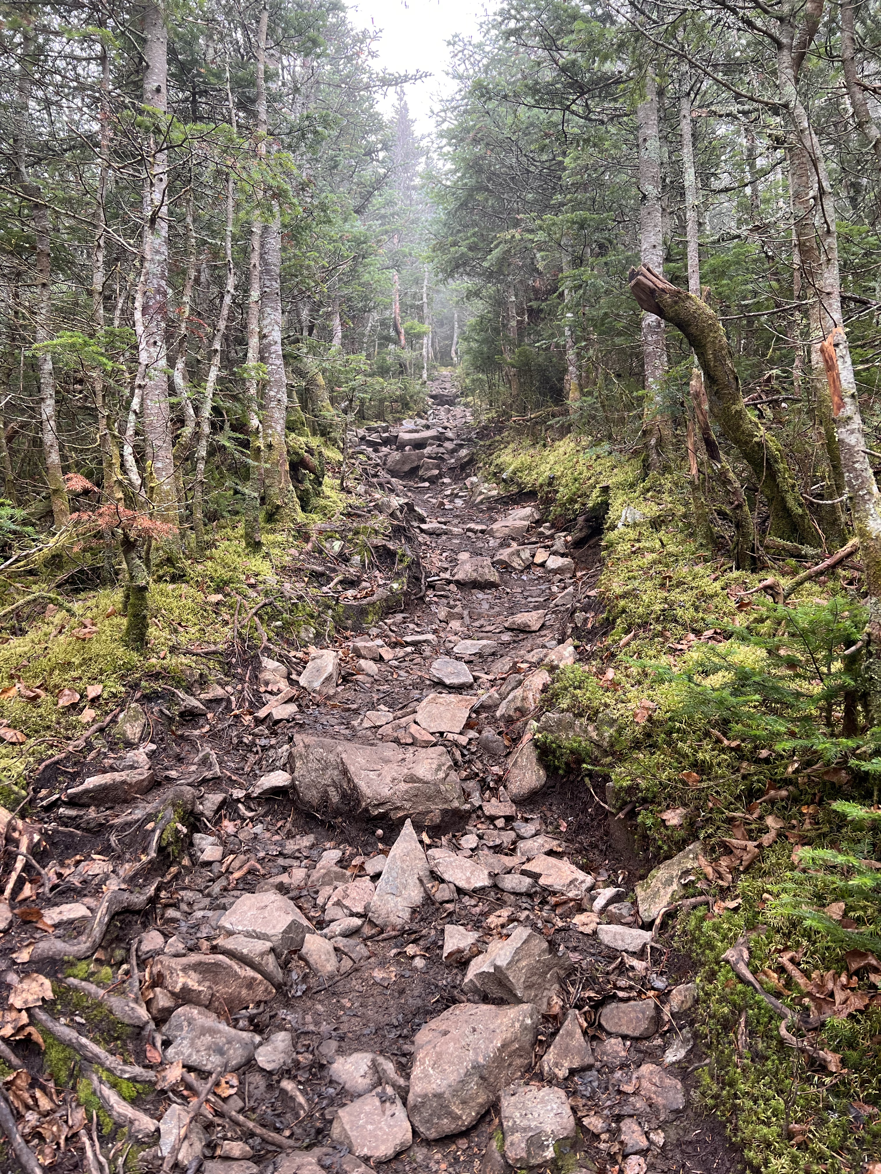
Once I cleared this sketchy part, the trail continued down, very steep. This section was very wet with ledge slabs and loose gravel between. It was a slow technical descent to the col between Liberty and Flume. I was already thinking about the fact that I would have to go back up this on my way back. Once at the col, the trail made a turn up. I was on my up the final peak on my journey to complete the 4000 footers.
At about 9:00 am I made it to the top of Mt Flume. To be honest it was a little anti climatic. The clouds had socked the summit in. It is a very dramatic peak, when its visible.
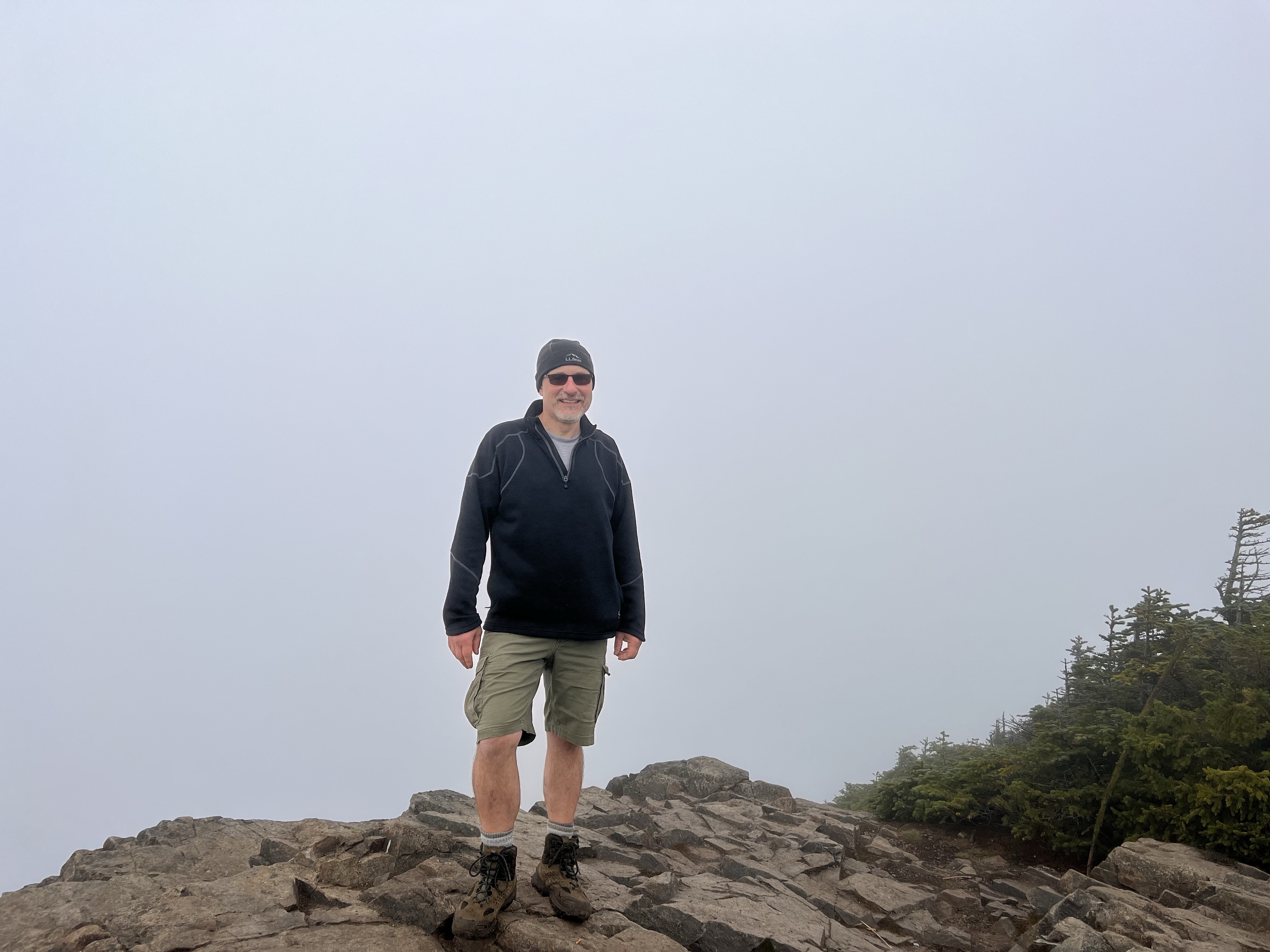
Standing on the summit of #48 created a mix of feelings. I was very proud to have completed. I was happy. I was proud of doing it in a year. Most of all I was happy to have found my passion. I had found a place where I was truly happy. A place that took the stress away. A place where I felt at home. A place that inspired me to do more, to live everyday, to not worry about tomorrow or yesterday. Over the last year I had learned what it means to live in the moment. More than being happy with the finish, I was just plain happy.
The walk back out was long. The steep descent from Liberty that I was dreading being a rough ascent was not so bad. Could be I was running on adrenaline from the finish. The best surprise was finding a way around the sketchy part. I found a trail that by passed it completely.
On the summit of flume a young couple embarking on a pemi loop asked me to take a picture and video of them. They asked me how I was going to celebrate the completion of the NH48. I thought about it for a second and replied “I guess I’ll celebrate by doing it again”.
| Miles | Elev Gain | Time |
| 11.2 | 4,267′ | 6 hours |

Leave a comment