
The previous day I had hiked 12 miles and about 5000′ elevation gain on Mt Jefferson and Mt Clay. I was planning to spend the night in the parking lot of the Gorham NH Walmart, as I have several times this year. Before going there I drove main street looking for vacancy at a local motel or inn. Everything appeared booked so I drove to Walmart. As I parked I decided to try Expedia. Maybe I could snipe a last minute cancelation. I searched the local area and to my surprise I found a room at the Northern Peaks Motor Inn on main street in Gorham! There was a last minute cancelation and my timing was perfect to snatch up the vacancy for only $87. Room prices in northern New Hampshire are pretty expensive, especially with fall approaching. The weekend rate at this place was usually around $150. I love getting a deal! Having a bed and a shower was going to make the next days hike that much better.
I had arranged with a driver I used on a past hike to Lincoln Woods to meet me at the Starr King Trailhead in Jefferson NH. He met me there at 6:00 am, I threw my pack in his car and we drove the approximate hour to York Pond in Milan NH. It was a longer drive than I had expected which caused me to question my judgement on todays 20 mile hike. I had done longer, knew I could do it again and I was going to. Bill drove me all the way to the York Pond Trail Trailhead, he wished me luck and I was off!


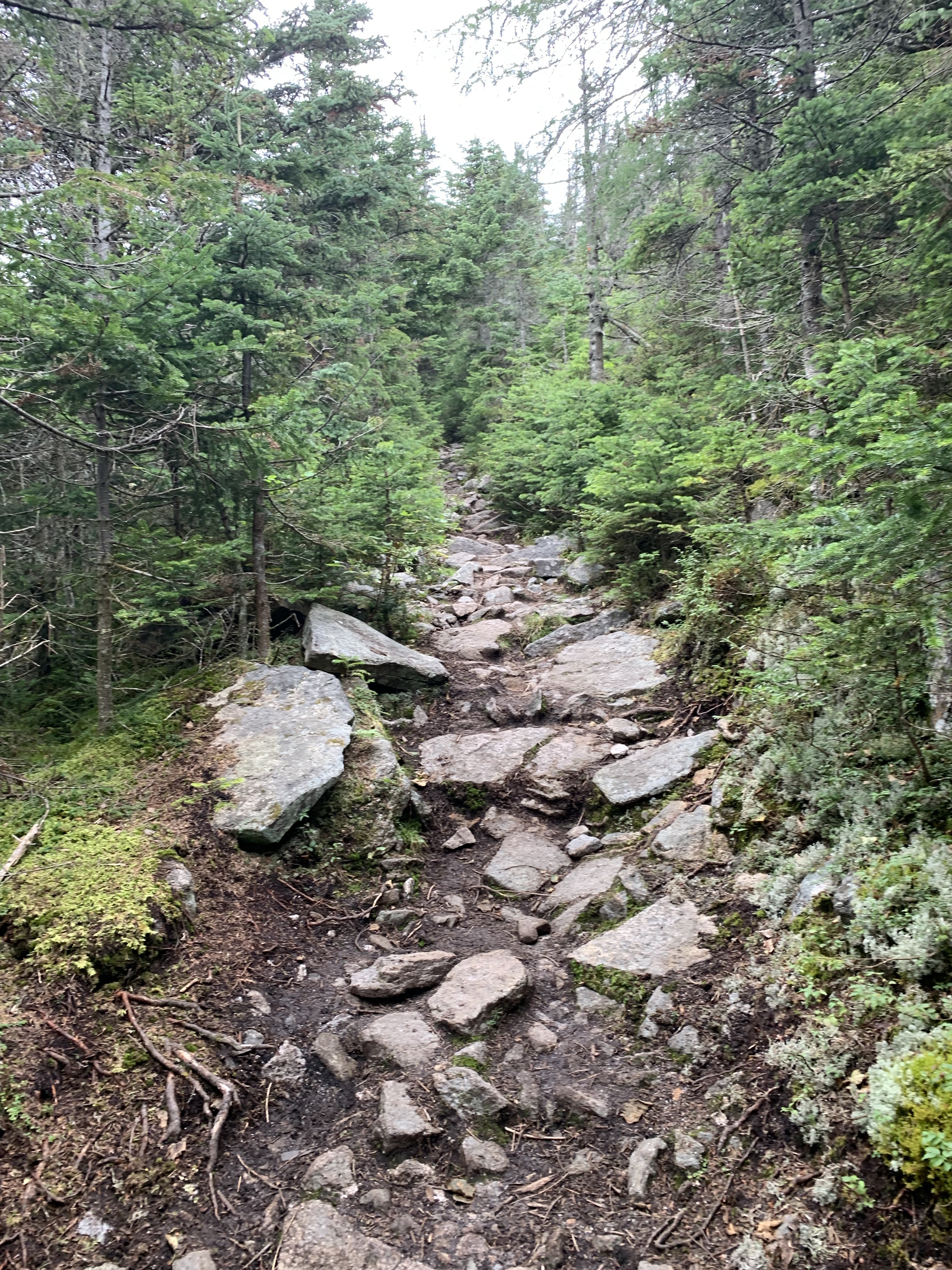
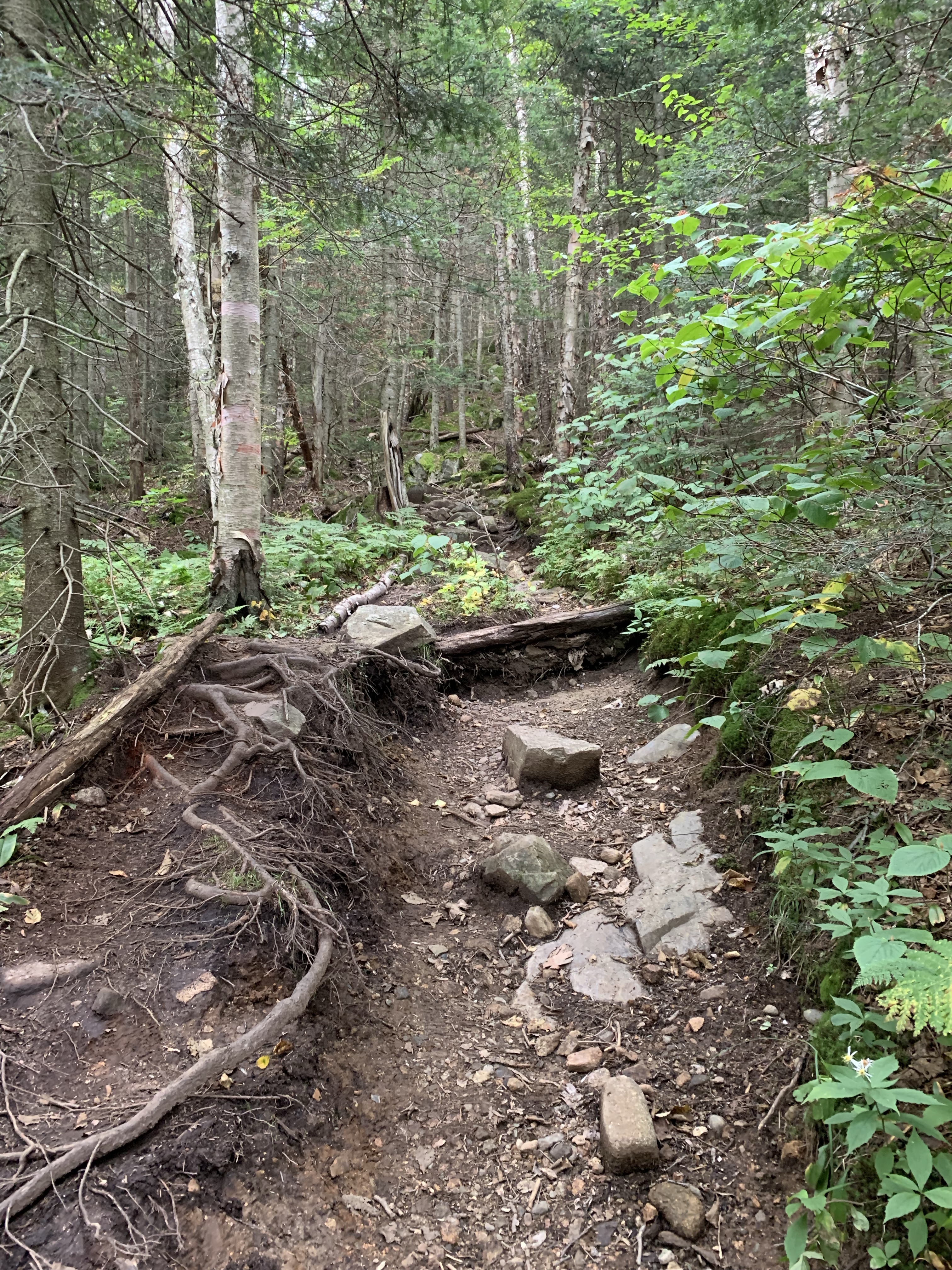
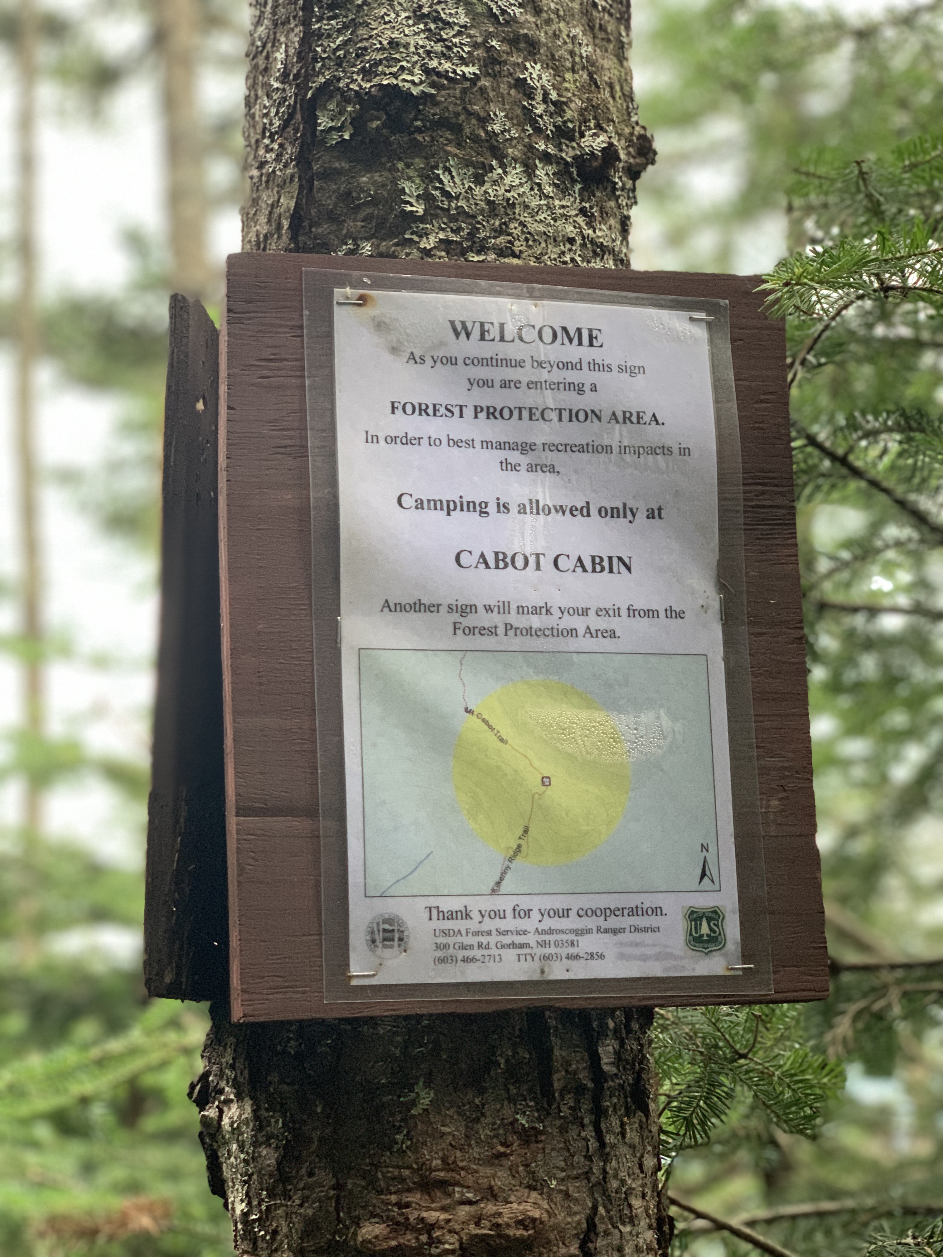
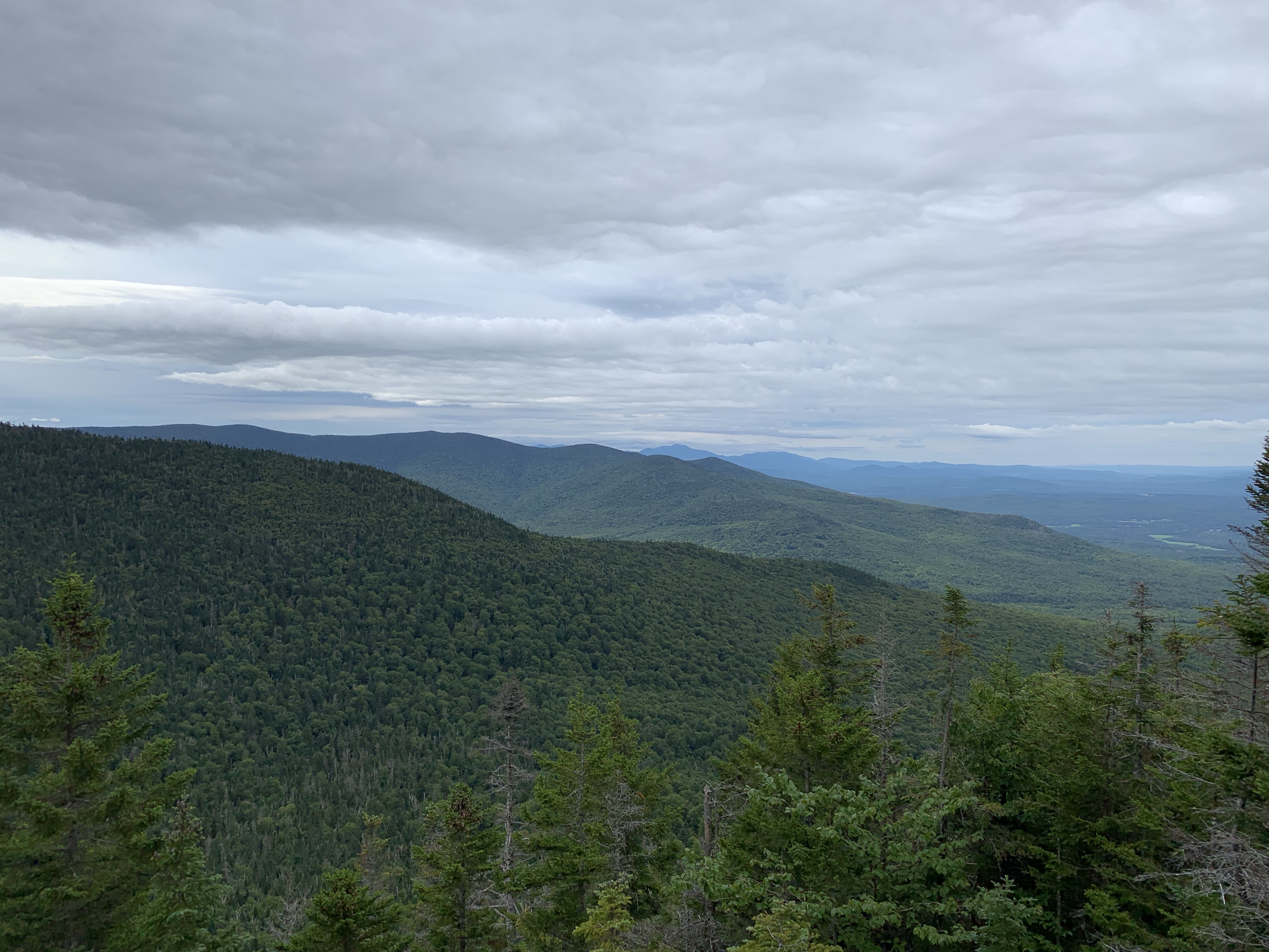
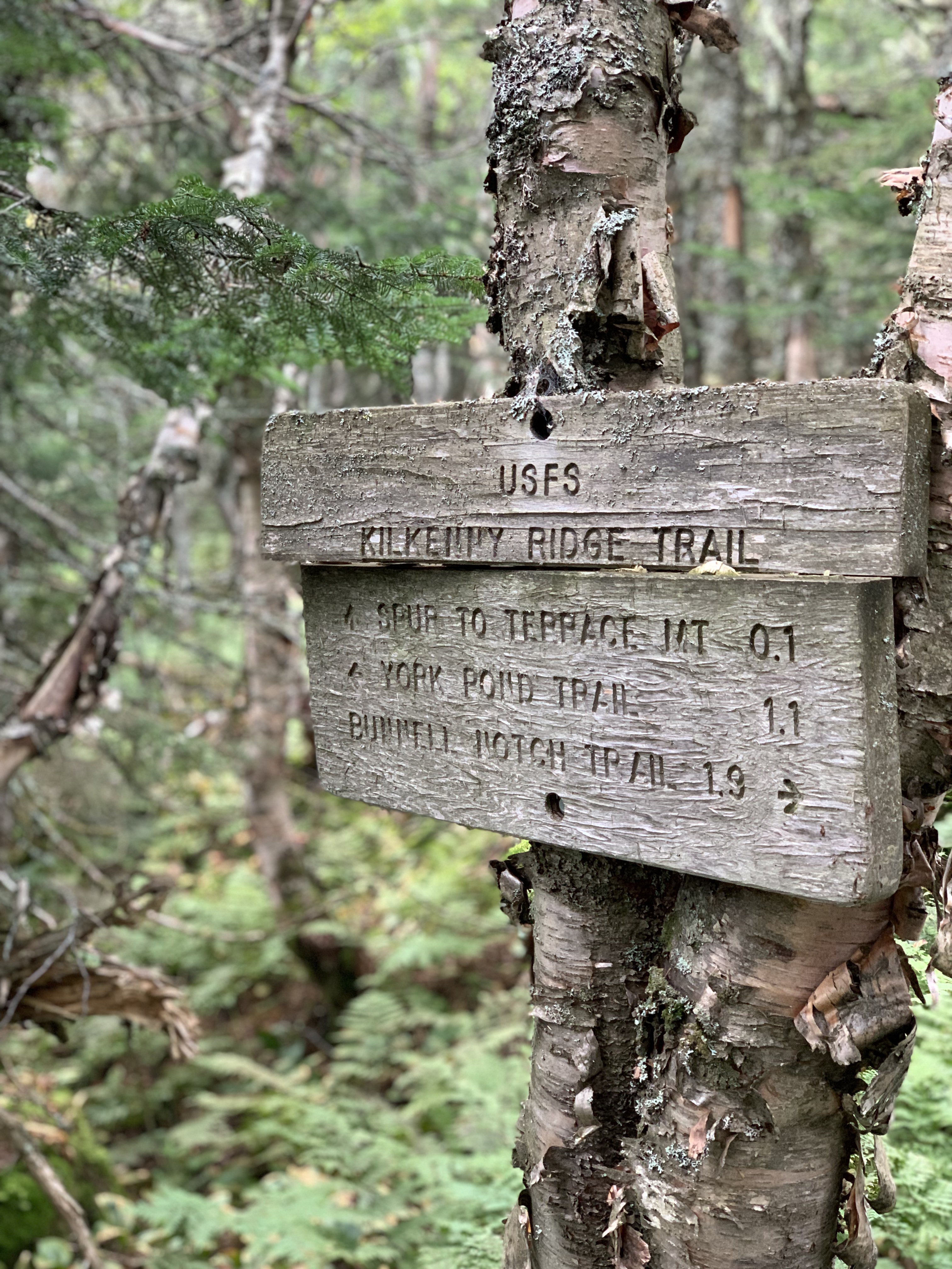
I started out on York Pond Trail and quickly turned onto Bunnell Notch Trail after about a quarter of a mile. I was able to make very good time on this section of the hike. I gained about 1000 feet over the first 2.5 miles. There seemed to be plenty of water available at this point in the hike. My research revealed that water would be a problem as the hike progressed. For that very reason I was carrying 4 liters in my pack, something I would definitely feel as the day went on. At about 2.5 miles I turned north on to Mt Cabot Trail which would take me to the summit of Mt Cabot, the first 4000 Footer of the day. The trail took a definitive turn UP. The terrain got very rocky and steep. It stayed steep and rocky all the way to Cabot Cabin gaining over 1000 feet in elevation over about 1.5 miles. Below the cabin and summit there is a very nice lookout to take advantage of since the Cabot summit is wooded and viewless.


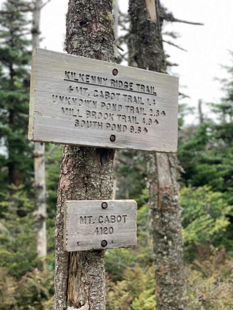
I chatted briefly with a guy sitting at the summit writing. I learned that he writes his daughter a letter from each mountain he climbs. Makes me wish I had found my adventure and calling long ago. I had a Cliff Bar and some water and then left the way I came, Mt Cabot Trail. On the way up I walked past the turn to Kilkenny Ridge Trail. This time, I took a right and headed into the deep woods.

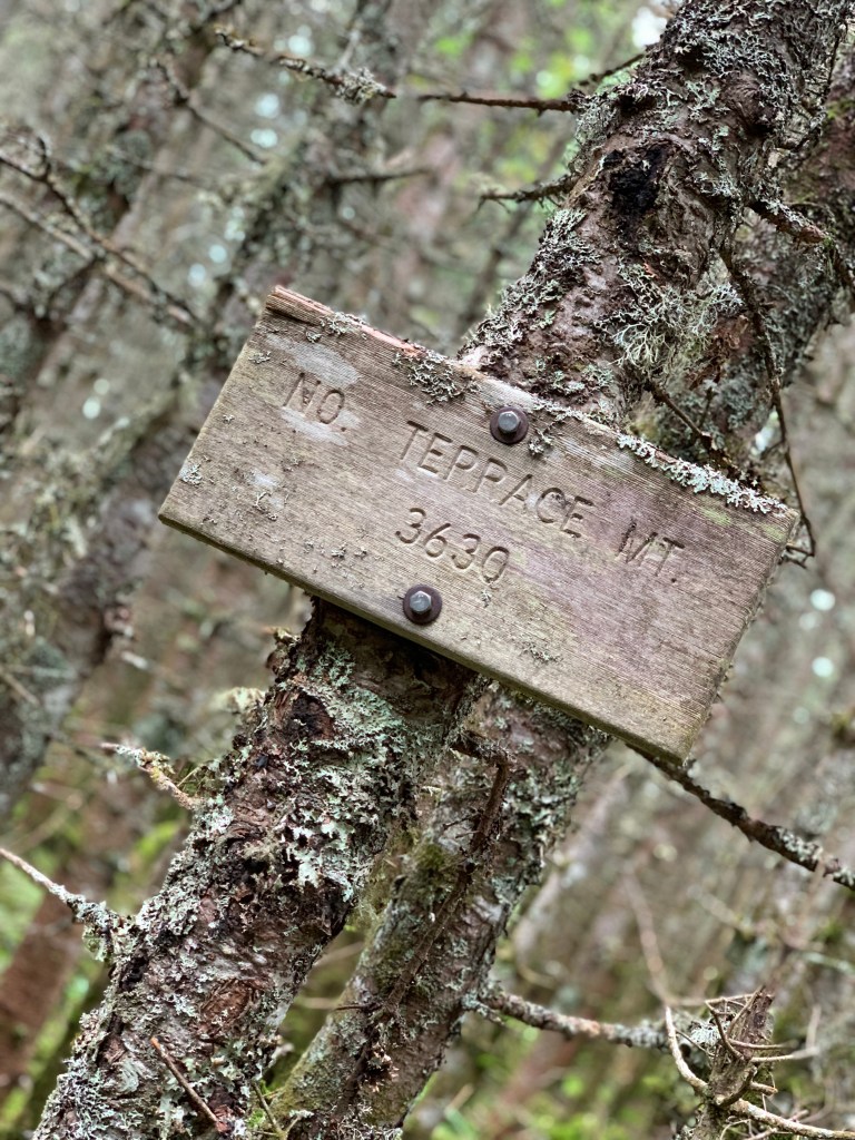
The Kilkenny Ridge Trail has a deceiving name. The trail ends up on a ridge but does not start that way. Other ridges I have hiked involve little elevation gain once on the ridge. This ridge trail is not that way. I went up Mt Cabot (4,120′), down Mt Cabot , up North Terrace Mountain (3,638′) and traverse to Terrace Mountain (3,550′), down Terrace Mountain, up Mount Weeks (3,901′) and down Mount Weeks, up Middle Weeks Mountain (3,684′) and finally found myself on the ridge.
The hike up North Terrace Mountain was steep. The trail has many blow downs blocking the way. Some have been there long enough for defined routes to exist around them. Others I had to climb over or under. North Terrace rolls into Middle Terrace Mountain and eventually Terrace Mountain. Once atop North Terrace the traverse to the others is not too bad. I stopped on Terrace Mountain for a 15 minute break where I could give my watch a booster charge and have some food. On this second day of a 2 day outing, I packed an easy lunch. 4 uncrustables, almonds, pop corn and pickles. I ate a bit of each while admiring what there was of a view. I noted that I was 10 miles into the 20 mile day and had gained 3800 ‘ in elevation. Knowing I was in for 20 miles on the day and over 6000’ elevation gain, I was as mentally prepared as I could be for the second half.

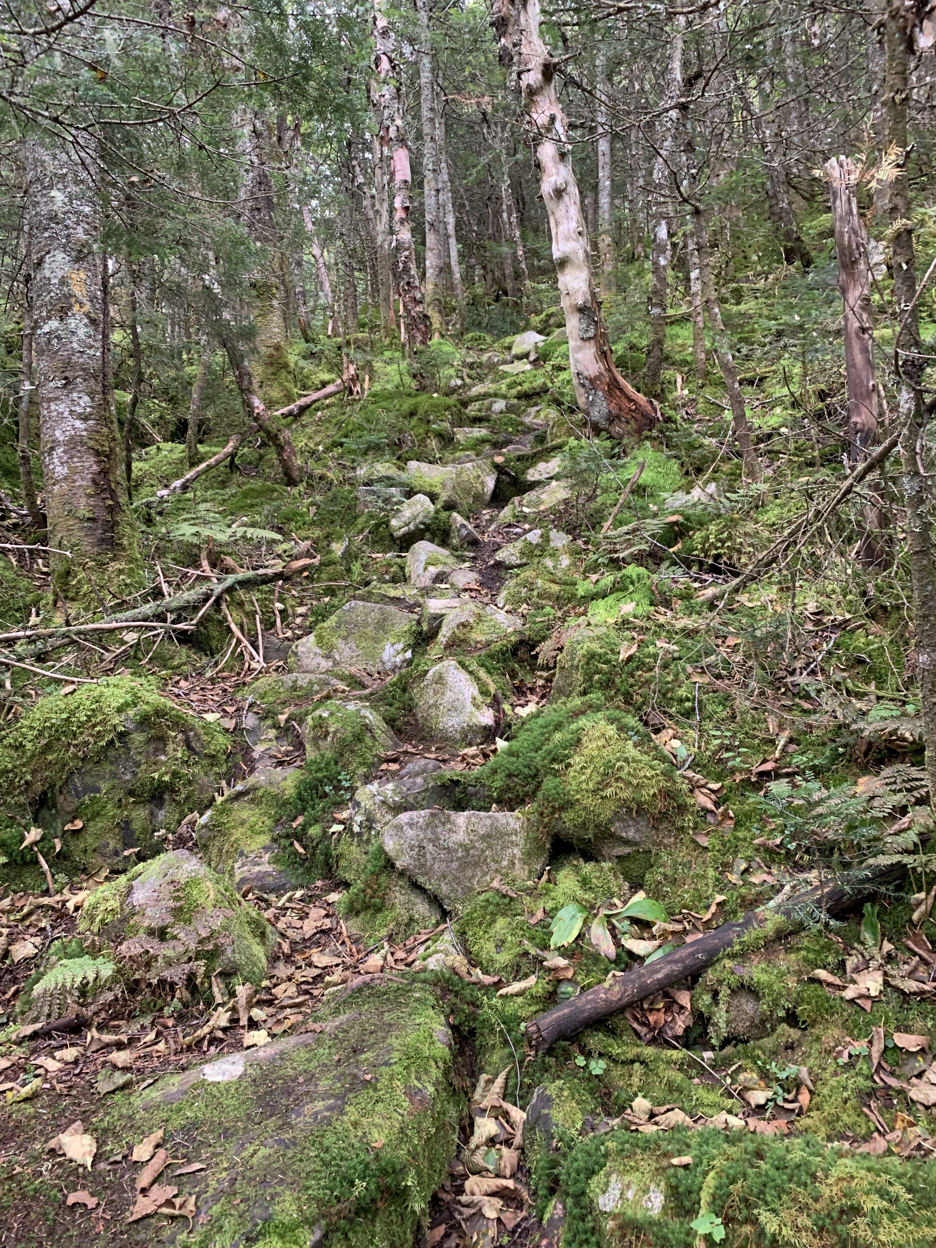
I left Terrace descending sharply into Willard Notch. It’s a beautiful moss covered wilderness walk. I was struck with thoughts of how very alone I was on this hike. I saw people on Bunnell Notch Trail just before I turned onto Kilkenny Ridge Trail at around 9:30 am. It was now almost noon and I had not seen a person. Its very peaceful, I like to be alone on the trail. But if I was to get hurt on these steep ascents and descents it would be a long time before I would get help. I did seem to have intermittent cell access which made me feel better. On my list of things to buy is a Garmin InReach Satellite Communication device. They range in price and function from $350 – $600. They have instant SOS which transmits your location to rescue services via the US Coast Guard. They ALWAYS work when cell phones will not. Worth the money, I will get one.
Leaving Willard Notch after a bit of a confusing trail junction, I began a very steep ascent of Mount Weeks. Mount weeks rises very close to 4000′ with over 700′ of prominence. With less than one hundred additional feet in elevation, it would qualify as a 4000 footer. I went from around 3000′ to 3900’+ in about 3/4 of a mile. It was a lot more than I expected. Having studied the map in detail at Terrace, I knew this was not the last of the steep ascents on the day. I walked down Mt Weeks and began the ascent of the last significant gain of the day, Middle Weeks Mountain. I dropped down to about 3200′ and quickly rose back to over 3600′ atop Middle Weeks. I was finally on the ridge that would lead me to Mt Waumbek, the days’ second 4000 Footer.
The ridge appears to take a beating from the weather. I encountered several fir waves, many blocking the trail. The ascent of South Weeks Mountain was a series of switchbacks that were not designed into the trail. They were made by hikers getting around obstacles. The day was beginning to get to me. I was at over 5500′ of elevation gain and 14 miles into the hike. At 3 pm I encountered the first person since 9:30 am. We chatted and together we estimated that I had 5 or 6 miles to go.


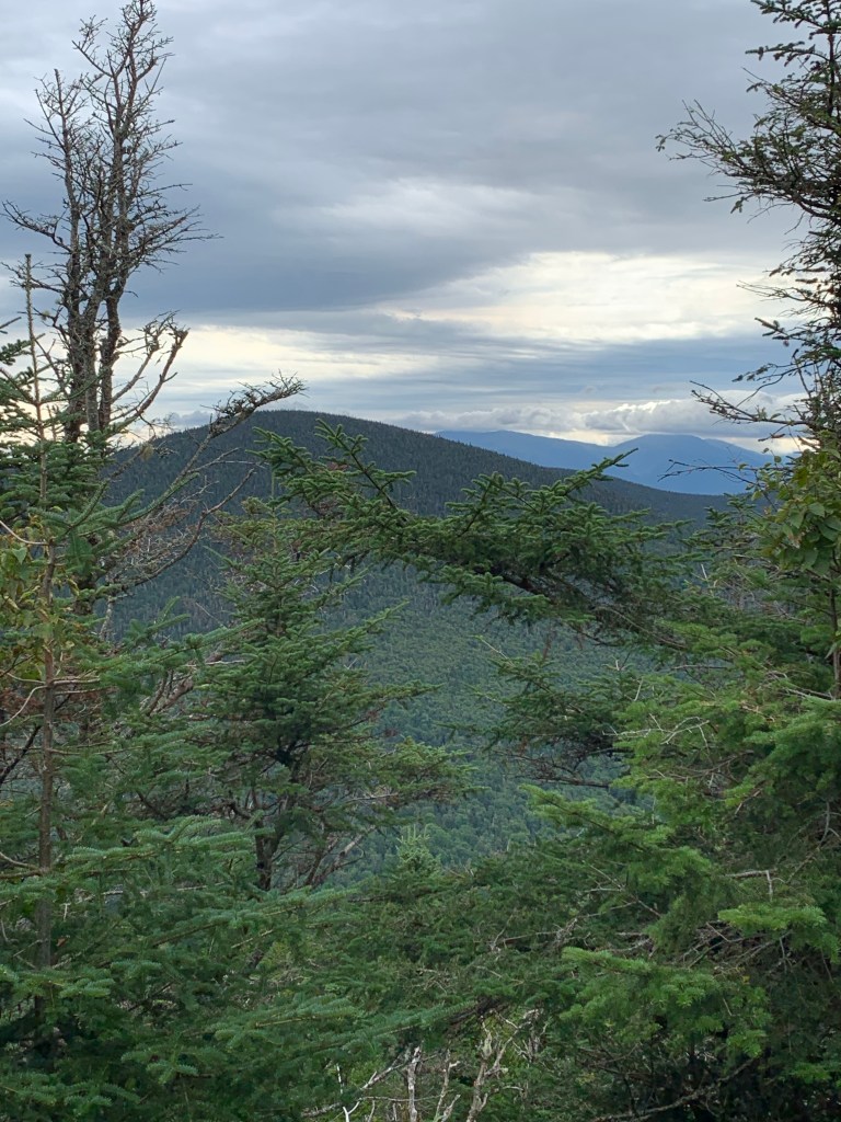
I made good time along the ridge as it rolled up and down gaining about 1000′ feet over the roughly 4 miles to Mt Waumbek. The blow downs continued to be frequent obstacles along the entire route. The ascent to Waumbek from the ridge was very gradual, a welcomed relief given the difficulty in getting there. The approach from the east reveals a beautiful view of the northern section of the Presidential Range. I had a great view of where I was the previous day, Mt Jefferson along with Madison, Adams and Washington.

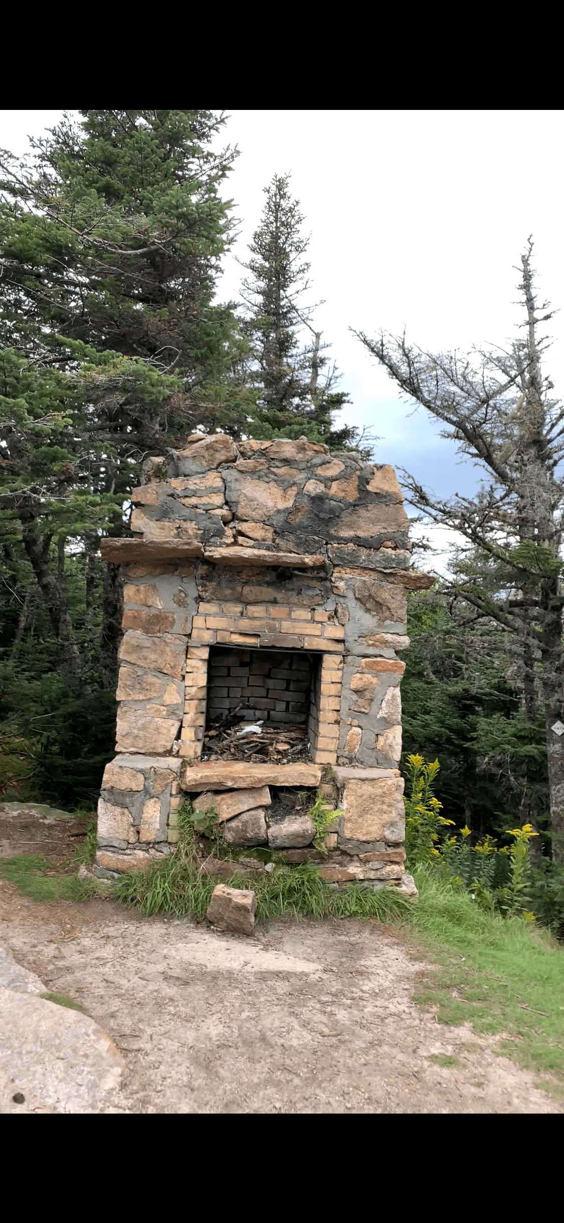
The actual summit of Waumbek (4006′) is unremarkable really. No view and a cairn. I was pretty wiped out at this point and had one more down and up to Mount Starr King. I pushed hard and made the short trip, about a half mile, to Mount Starr King very quickly. Slight descent and slight ascent brought me to summi , pictured below.

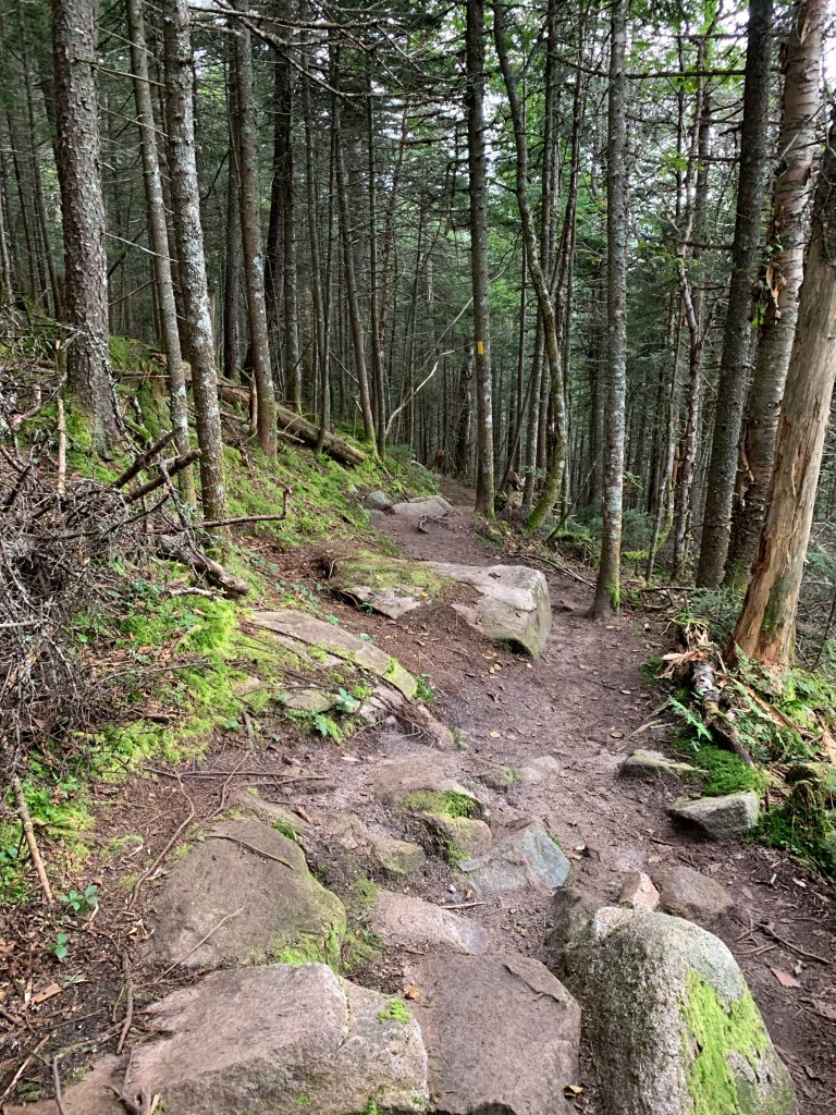


With 2 miles to go from Starr King to my car, I left the summit. To be honest, it could not end soon enough. With 20 miles and over 6630′ feet in elevation gain, I was done. The trail was not done though.
I went into this hike looking at it as checking a couple boxes on a list of mountains, Cabot and Waumbek. I knew the walk would be long. I knew there would be steeps. I did under estimate just how hard it would be. The day was longer, steeper and more grueling than the traverse I did from Hale to Bond Cliff. I learned some lessons in the woods on this hike. Lessons of commitment, confidence and clarity. Committed to a goal and myself, Confidence in my abilities and Clarity of mind and mission. As I approach the end of the first round of the 48, I am beginning to understand why I started.
| Miles | Elev Gain | Time |
| 20 | 6,635′ | 10.25 Hours |

Leave a comment