

9/4/2021
The days in northern New England are getting noticeably shorter. This impacts the length of my hikes if I want to enjoy the views. I had 2 long hikes remaining in my quest toward completing the 4000 footers. Owls Head is a 19 mile round trip. Getting there takes the longest and I understand the climb isn’t so bad, its just a long hike. Mt Cabot and Mt Waumbek are not long hikes alone. They are the northern most of the NH higher peaks. Cabot is probably 3 hours from my house. Waumbek is 20 miles south of Cabot and the Kilkenny Ridge connects them, sort of.
I decided to take a weekend and get 3 peaks done, including one of the remaining long hikes. Mt Jefferson on Saturday and the above mentioned Cabot/Waumbek combo on Sunday. After some detailed planning and packing for the changing northern NH weather, I was ready to hit the road at 3:45 on Saturday morning for the 90 minute drive to Ammonoosuc Ravine parking area. It was chilly at the trail head, probably about 45 degrees. I was wearing a short sleeve shirt so I added a long sleeve over it. Once geared up and dressed for the weather, I set out on the Jewell Trail up the western flank of Mount Washington.


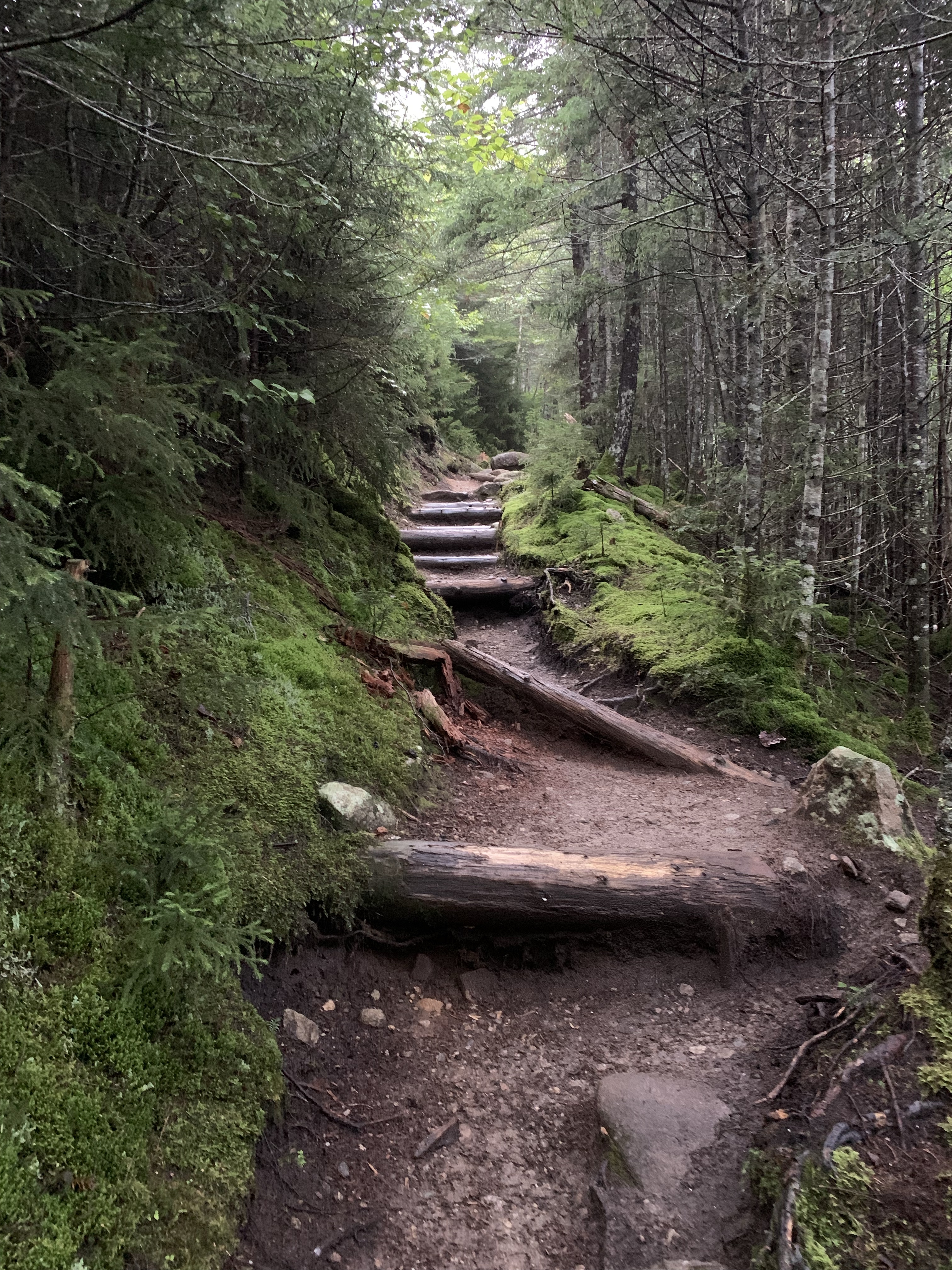


The lower sections of Jewell trail are consistently moderately steep. I hiked this back in May when I descended Mt Washington after ascending Ammonoosuc Ravine to Mt Monroe. There is a shorter route to Mt Jefferson, the Caps Ridge Trail. I considered that route but was not in the mood for the technical challenge Caps Ridge presents. Its on the Terrifying 25 List and has 3 pretty difficult ledge obstacles to maneuver. I’ll try that route next summer.
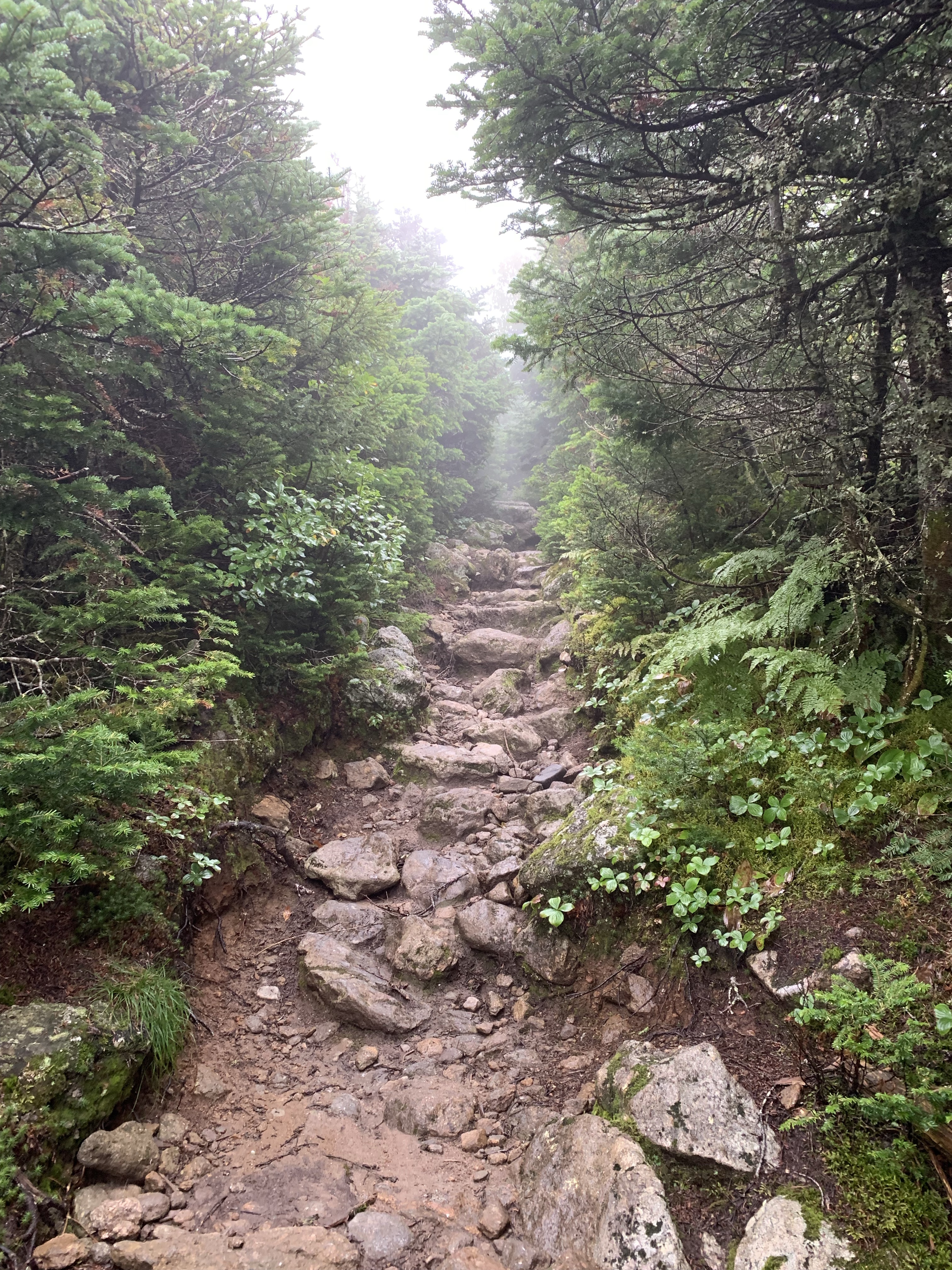
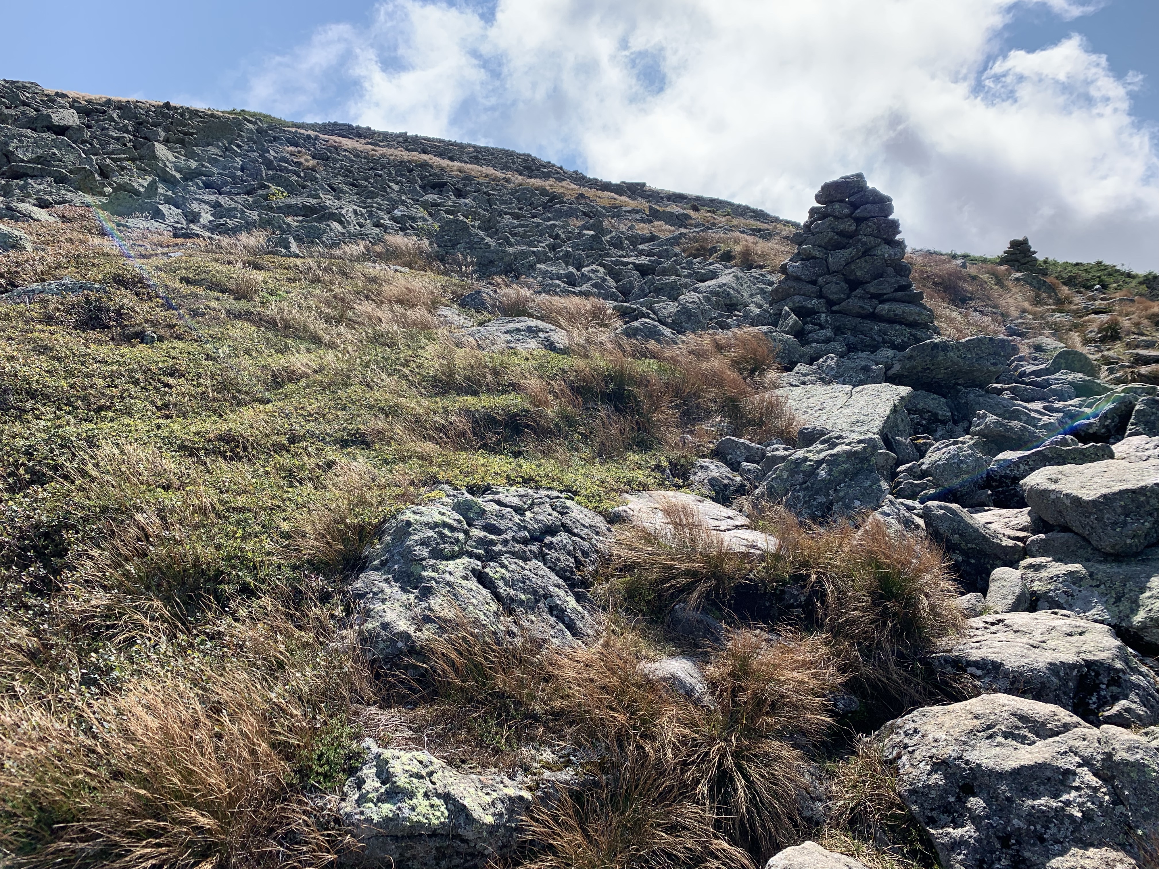
The Jewell Trail eventually turns much more alpine as the trees shrink, turn to bushes and then go away entirely giving way to very rocky path upward. I had taken off my second shirt on my way up but now the wind was sustained at about 30 mph. I had to put my fleece on as well as a hat and gloves. After meandering through several switch backs, the Jewell trail intersects the Gulfside Trail. To the north is Mt Jefferson, to the south is Mt Washington and straight in front of me to the east is Mt Clay. Mt Clay sits on the edge of Great Gulf between Mt Washington and Mt Jefferson. It lacks the prominence on its souther flank to get it on the 4000 Footer list. I wanted to go over Clay to get to Jefferson just to add to the experience of the day so I went south on Gulfside toward Mt Washington where I met the Mt Clay Summit Loop trail. I turned back to the north on the Clay Summit loop and began making my way toward the summit of Mt Clay.


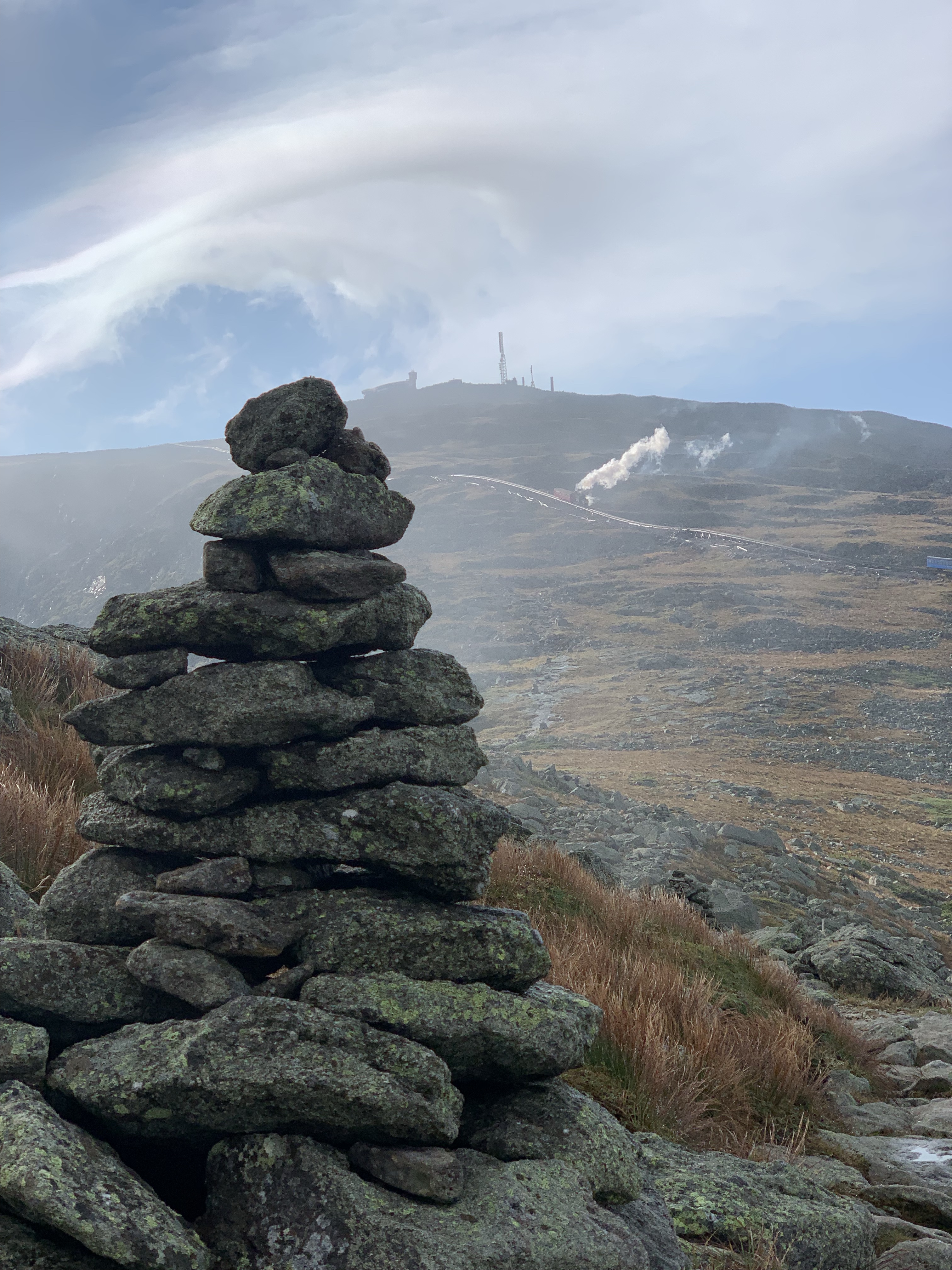

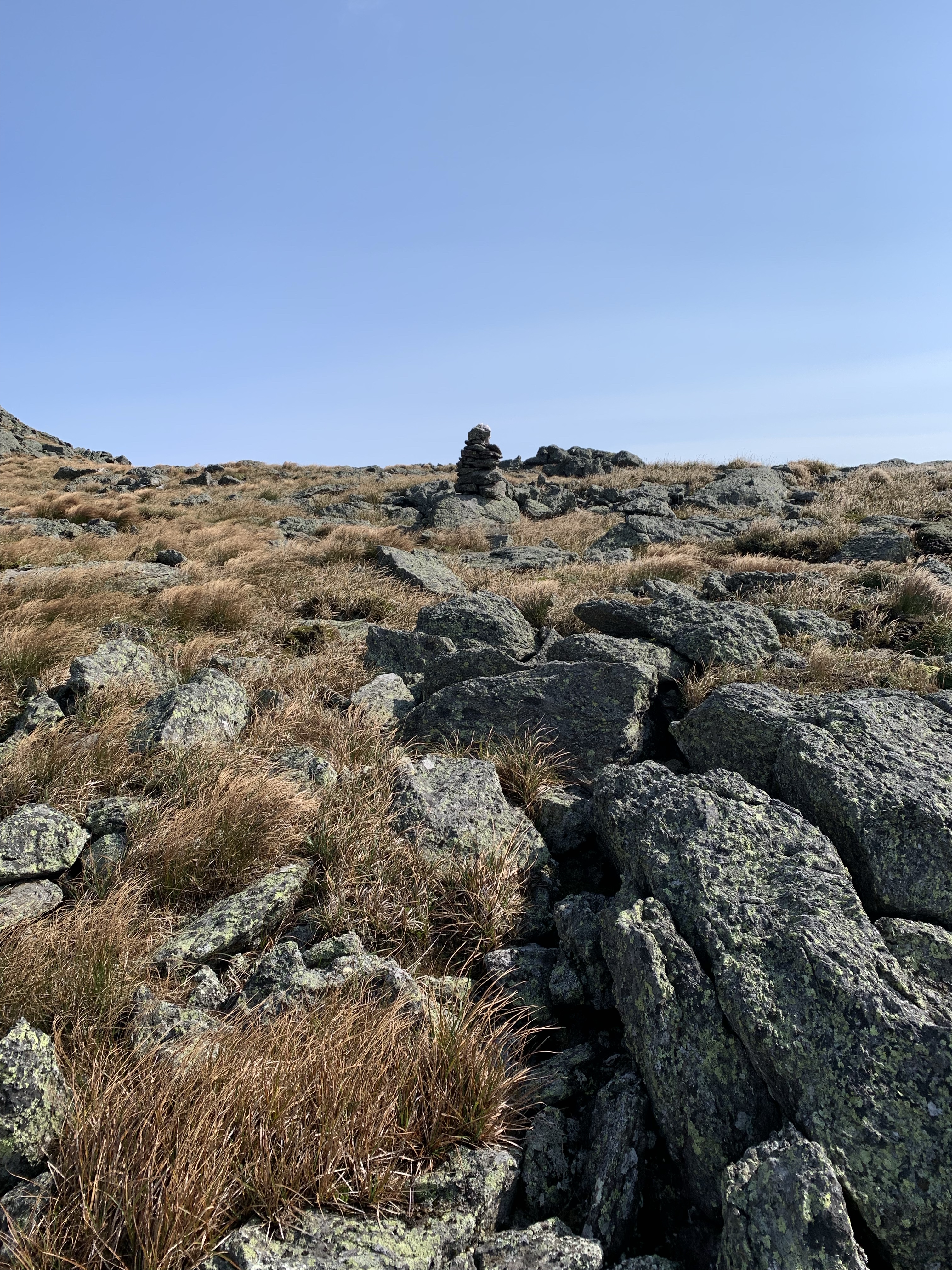
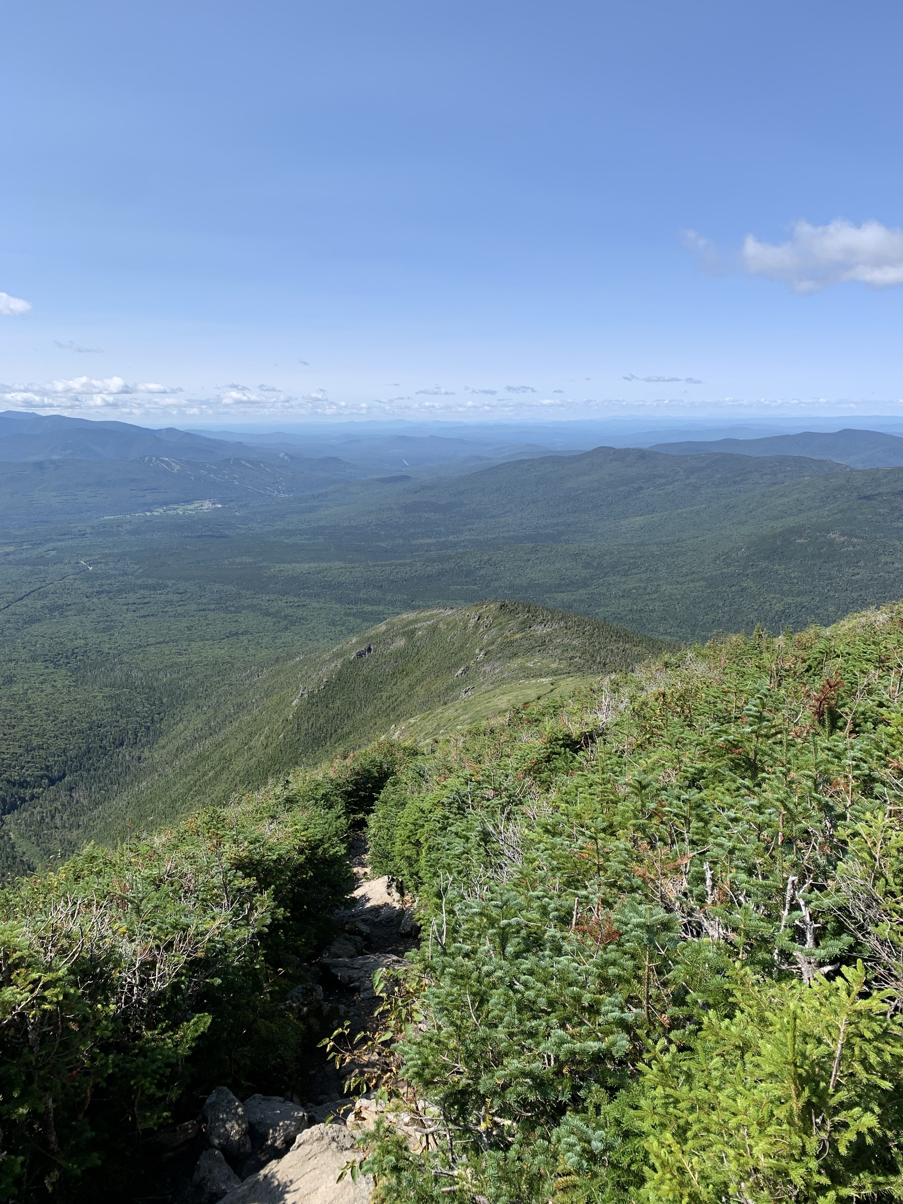
At 5,531′, Mt Clay is no slouch. From the south it only has about 150′ of prominence but it is steep and deceiving. The views, as seen above, are hard to describe. Grassy alpine fields to rock and boulder scrambling. There is a false summit to go over into a col before the final Clay summit. I found a sheltered spot here to get my wind breaker on. As I made my way up the side of clay, the wind increased in intensity to what felt like around 40 mph.
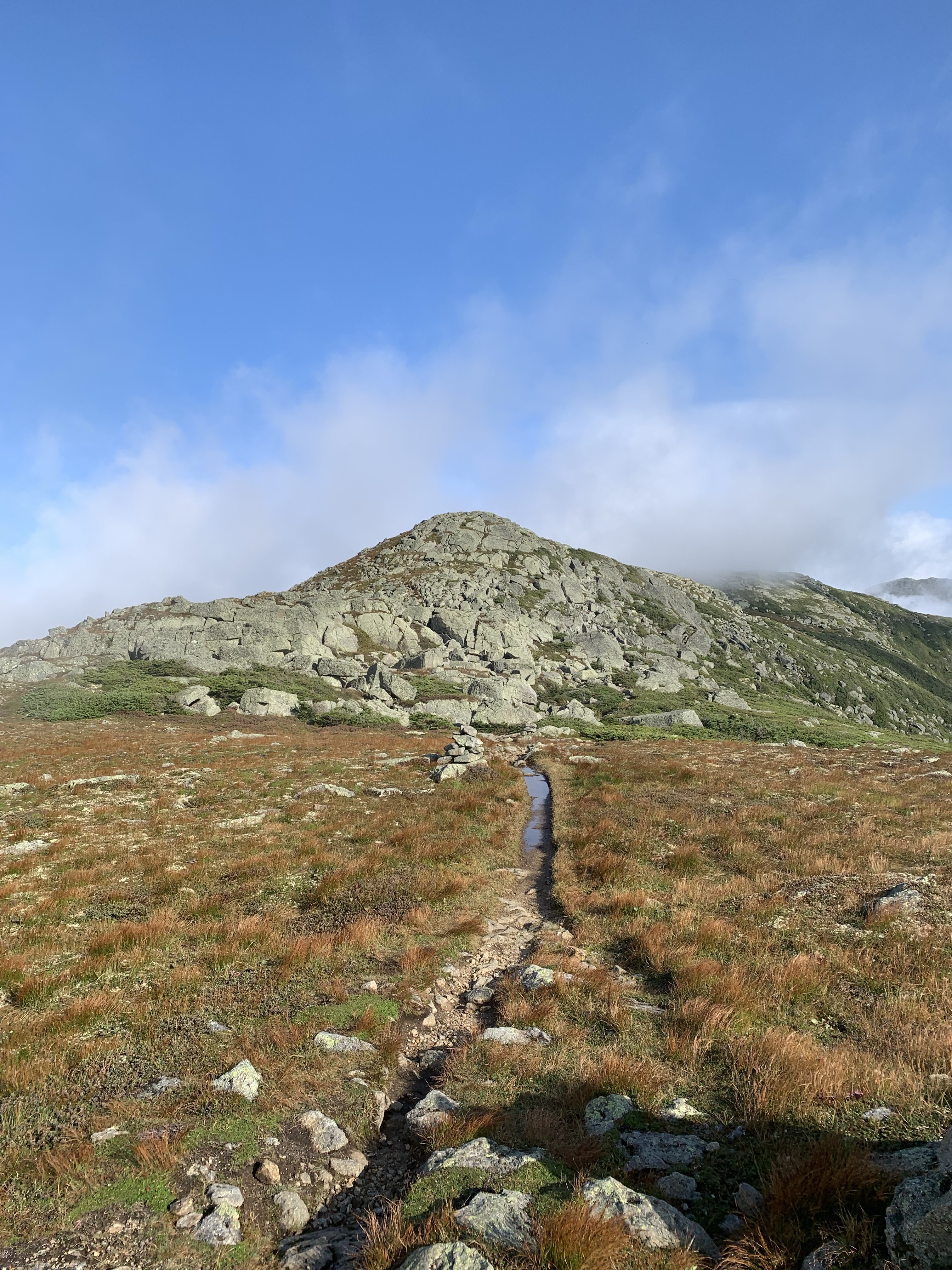
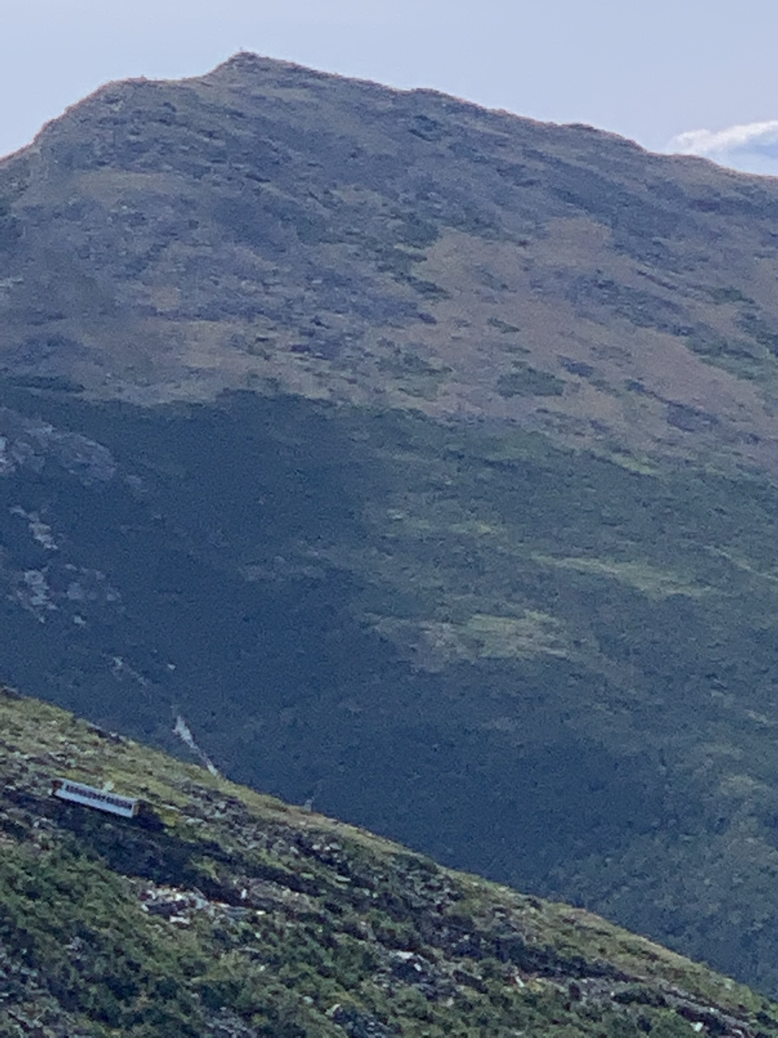
I made my way down the much steeper north side of Mt Clay toward Mt Jefferson. It was almost like a prairie in the col leading to the top of the mountain. Not many boulders and a beautiful trail through the grass. Jefferson was kind of sheltering me from the harsh winds. The clouds streaming around seemed to dance with the ridges. So much fun to take some time and watch this unfold. A front was coming through, clearing the skies.


As you can hear and see in the above videos the approach to Jefferson was at the same time beautiful, very windy and loud. I was wearing very thin gloves and considered getting my heavier winter gloves out but didn’t want to stop. The final stretch was steep and difficult. The boulders are big and spread out a little. I couldn’t get a lot of video or pics on the way to the summit, I needed both hands to get through several sections.


After spending about 3 minutes on the actual summit, I jumped down out of the wind. I found a sheltered spot, took my pack off and had a couple pickles, some turkey and cheese and some almonds. I sat there admiring where I was for about 15 minutes. I put my pack back on and wandered down a bit further off the summit cone to see what I could see around the back side of the false summit. There was an incredible view of clouds streaming between Jefferson and Adams as well as between Madison and Adams.

After taking in the summit area, I made my way back down to the Gulfside trail. I decided to by-pass the Clay summit this time and stay on Gulfside. I had made great time and was giving a lot of consideration to hiking over to Mt Washington. I ultimately decided not to as I had a big day with lots of elevation gain in front of me on Sunday. I took a right at the Jewell Trail junction and made my way back down to where I started.


This was one of those hikes we all want to experience. Everything came together. My stride was perfect, breathing cadence was perfect and the mountains were perfect. I felt like I could walk for another 12 miles but knew I shouldn’t. The Presidentials are a very special place. Its beautiful, noble, majestic and very spiritual. Jefferson was the last of the Presidentials I needed to check off on the list. This adventure has become so much more than a list to me though. I’ll be back, many times.
| Miles | Elev Gain | Time |
| 12.3 | 4,969′ | 8 Hours |
