
August 21, 2021
It had been very hot humid in the week leading u to Saturday the 21st. I always start early so I was hoping I could beat the afternoon storms and early heat and humidity. I arrived at the Hancock trailhead around 6 and was ready to head out by 6:15 am. As usual, I had researched the Hancocks. I learned that the views were not great. I learned that it was a long hike, I learned that it is steep. How steep? Yeah, steep!
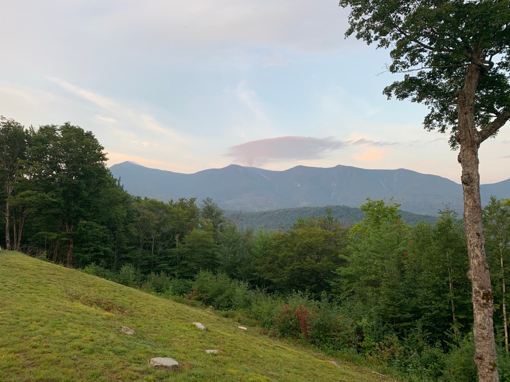
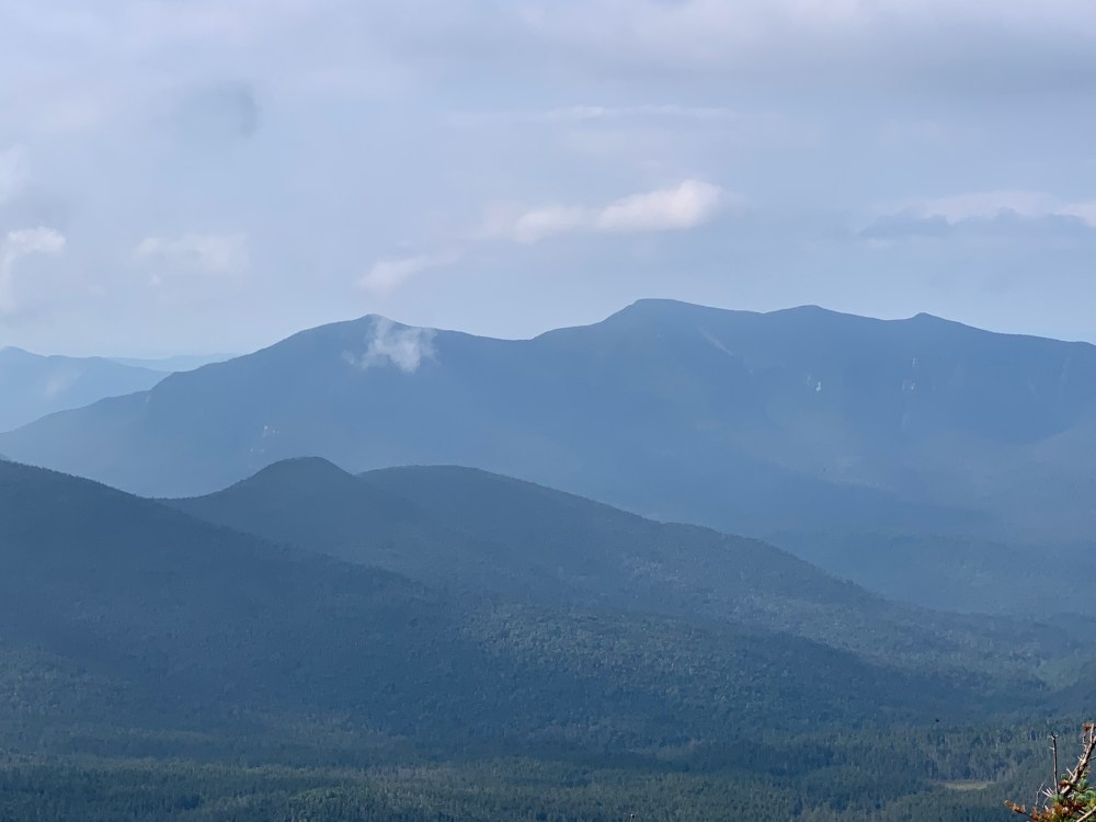
I started the day at the Hancock parking area where I was greeted with an amazing view of where I was the previous weekend, the Osceolas. What a cool way to start today’s hike with a view of the very impressive Osceolas.
The parking area is on the opposite side of the road on a hairpin turn in the Kancamagus Highway. Pretty easy road crossing at 6 am to Hancock Notch Trail but can be a different story around midday. Road navigation complete, I began the hike on a pretty flat trail. It slowly rolls along a low ridge crossing a few small streams. As I approached 2.5 miles I had only gained about 600 feet in elevation. Knowing I had a total gain of close to 2700 feet for the day, I knew things were going to steep soon. Memories of Stony Brook and Moriah were on my mind.

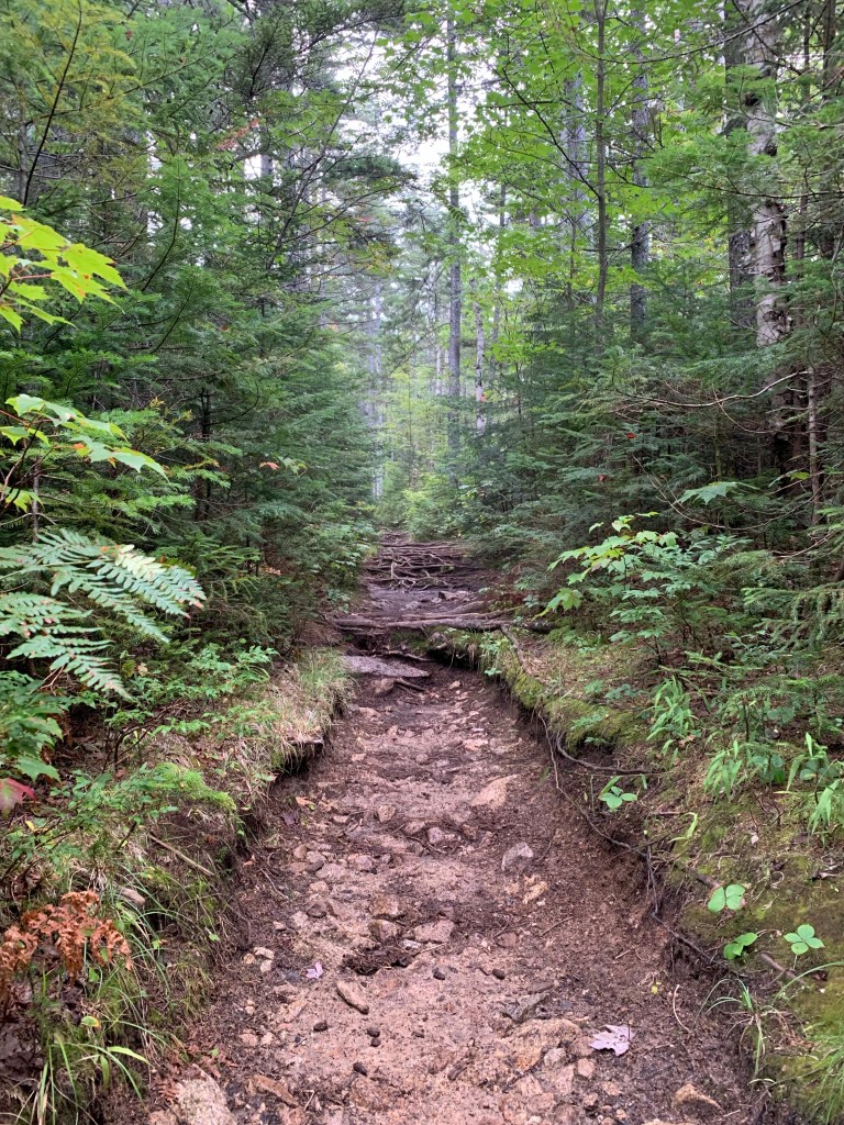


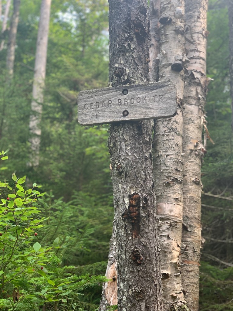
At the junction of Hancock Notch Trail, I turned north on Cedar Brook Trail. A few more water crossings and a slight grde increase later I found myself at another junction where I turned east on the Hancock Loop Trail. The grade was noticeably steeper at this point but still not steep enough to lessen my feeling about a straight up section approaching.

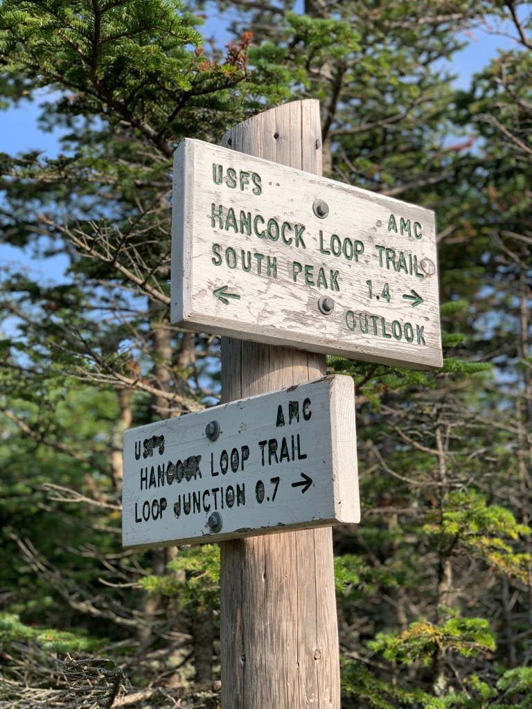
I reached the junction of the Hancock Loop trail and chose to do the loop counterclockwise, sending me up South Hancock to the ridge where I would make my way to Middle and North Hancock. I have learned on various social media platforms that the route I chose is not the most popular. What’s not clear is the reason. It could be because my choice of route makes for a difficult descent of North Hancock or because the hike up South Hancock is incredibly steep.
The Whites hikers bible, the White Mountian Guide, describes the South Peak ascent in part as:
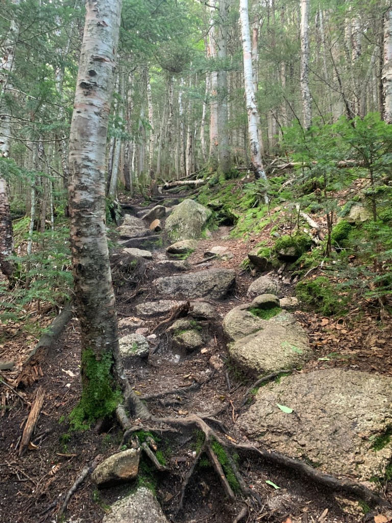
‘The climb to South Hancock is unrelievedly steep…badly eroded with loose rock and poor footing’.
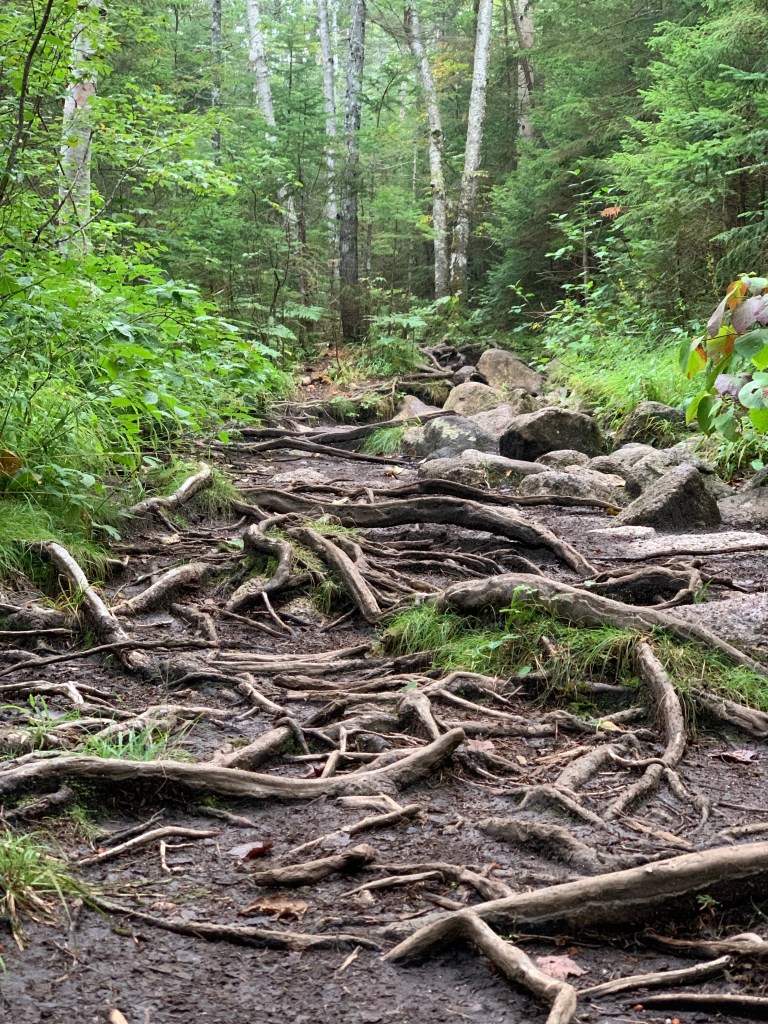
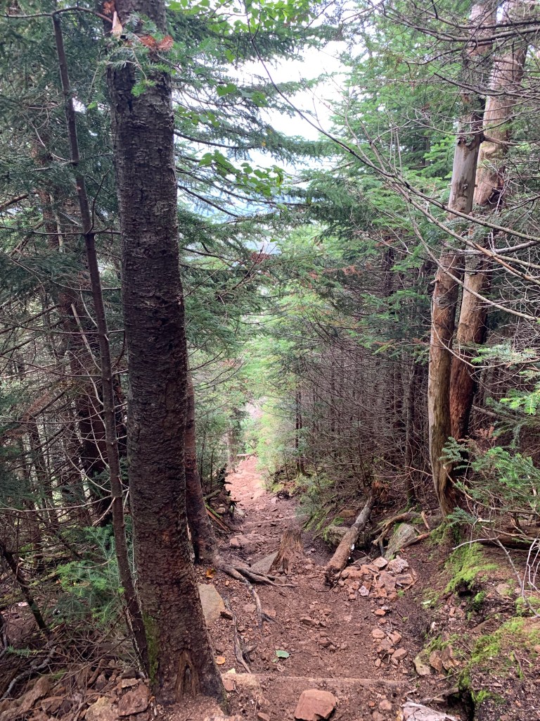
Truer words have not been written. I have hiked South Twin and Mt Adams, both notorious be being extremely steep. South Hancock rivals and perhaps beats them with steep. I am in decent shape and found myself stopping to breathe every 50 steps or so. I’d say it took close 45 minutes to cover the about .5 miles and 900′ feet of elevation gain. This ranges from around 40 to over 50% grade and is unbelievably steep. I am torn about what the best direction actually is to do this loop. I would not want to descend South Hancock due to loose rocks and gravel. Descending North was not easy and was almost as steep. I will be returning in the winter and I think I’ll do it in the same direction.


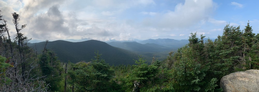
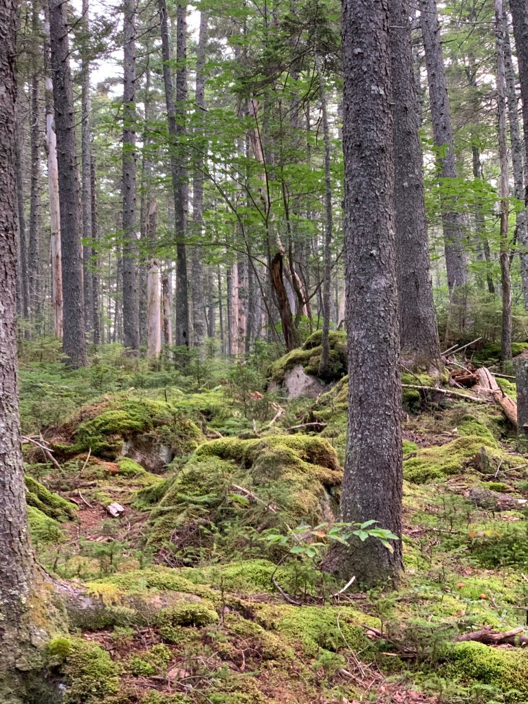
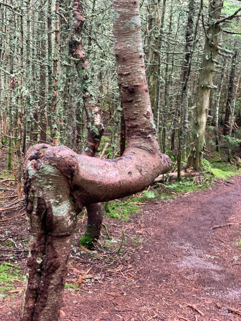
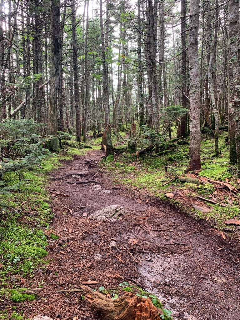
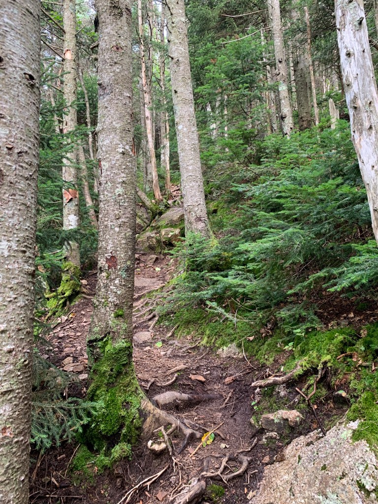
I somehow got to the top of South Hancock and was greeted with a flat surface. There is a view straight ahead but I didn’t venture out to it. I could see down the ridge that the view would include only clouds. I didn’t even stop and continued along the Ridge Link toward Middle and North Hancock. This was rolling up and down and some brief steeps, bog bridges, and a beautiful ever changing forest. It went from sparse evergreen stands to swampy areas with moss covered trees and rocks to very dense wooded sections.


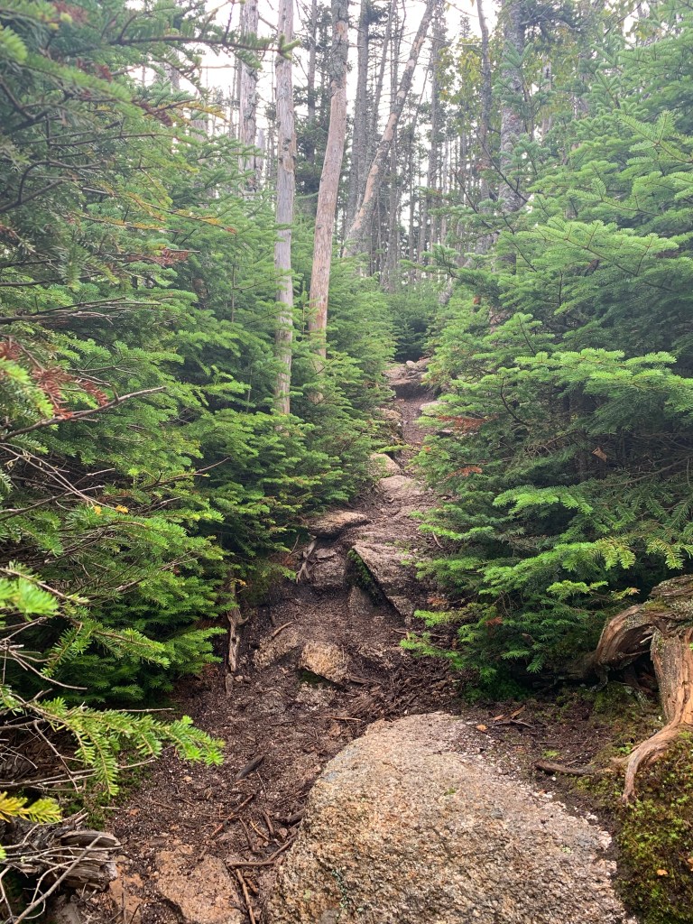


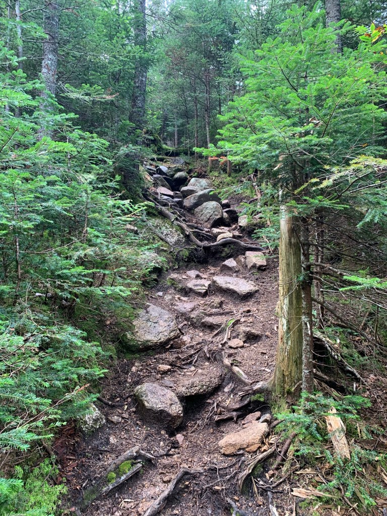
The last section of the Ridge Link before the summit of North Hancock was much steeper than the rest of the ridge but not too bad. None the of summits had any summit marking that I could find. I trusted my map to tell when I was near a summit. North Hancock does have a sign directing you to an outlook where this is a beautiful view. I think that sign is pretty close to the summit.

I did spend a little time at this lookout. Too early for lunch but had some water and a snack. I made my way from the lookout back to the North Link and started to make my way down. While perhaps not quite as steep, this trail is made up of the same loose gravel and stone. It was very slow going due to both of those factors.
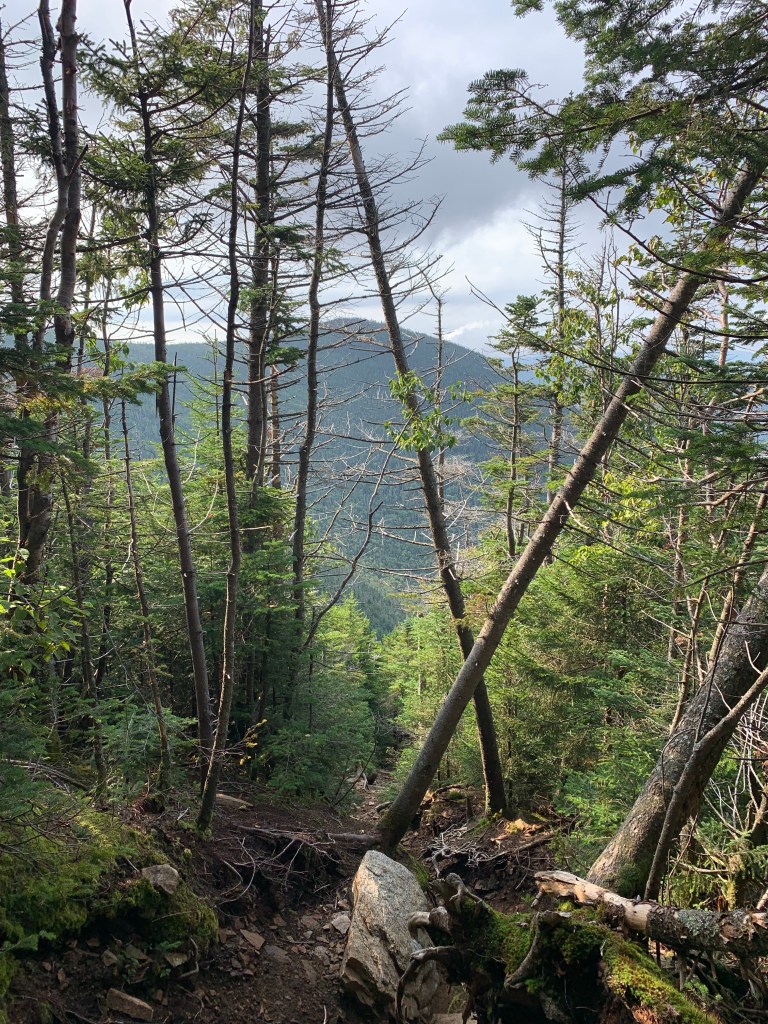

I had been putting this hike off because it lacks views. Both summits are primarily wooded. I did the hike on a partly cloudy hazy day. Although two-thirds or so of the hike are kind of flat, it is very challenging. The terrain along the ridge between summits is beautiful. The water crossings while not over raging rapids are fun. The views when you do get them are just as mesmerizing as any in the Whites.
| Distance | Elev Gain | Time |
| 10 Miles | 2680′ | 5 Hours |
