Planning. Kind of a strong suit of mine. I enjoy the details around planning a hike. How much food do I need? How much water? Can I filter water on the way reducing the weight I carry? Heading into the weekend of July 24th I was planning the detail around a traverse that I had been thinking about for some time. I wanted to hike from Mt Hale (4,055′) to Mt Bond Cliff (4,265′). Approximately a 22 mile hike in the Pemigewasset Wilderness of the White Mountains in northern New Hampshire.
An initial problem is that this was to be a traverse. To this point in my quest for the 48 4000 footers I had been doing loops and out-and-back hikes. Being that I am solo, I had to do it that way to get back to my car at the end of the hike. This traverse would require me to leave a car at one end and get myself to other end. I did some research and found that the AMC Hiker Shuttle can do this as well a few other operations. I settled on Bill Sluskonis, primarily because his rate was more reasonable than the others at $70. I contacted Bill and made arrangments for a 7:00am pickup at the Lincoln Woods trailhead for Saturday morning. This is a late start as I like to be hiking by 6 or 6:30 am. This time was fine, Bill had another ride ahead of me from someone who plans a bit better and more in advance than me.
I arrived at the lot to find it full at 6:30. I parked on the Kancamagus Highway about a half mile from the trailhead and made my way to the lot to wait for Bill. Bill arrived on time and we made our way to the Hale Brook trailhead. Bill is a great guy and really fun to ride with. Great conversation and stories. We arrived at Hale Brook Trailhead at 7:50 and I was hiking just before 8 am, make my way up the first of 5 4000 footers for the day.
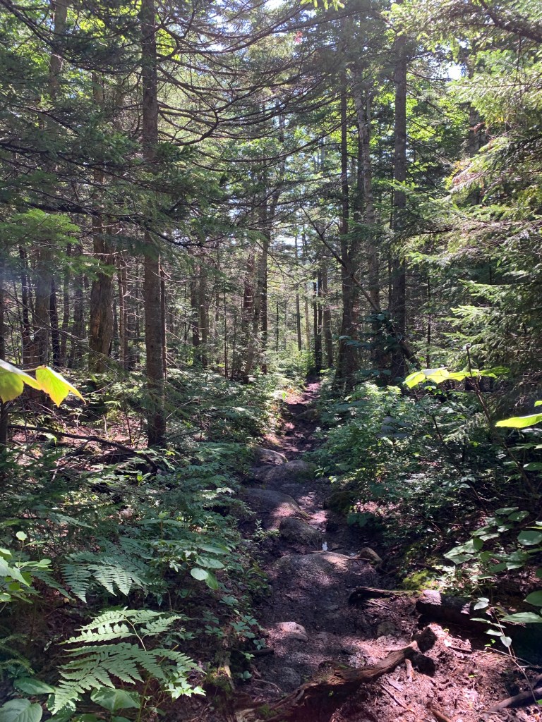
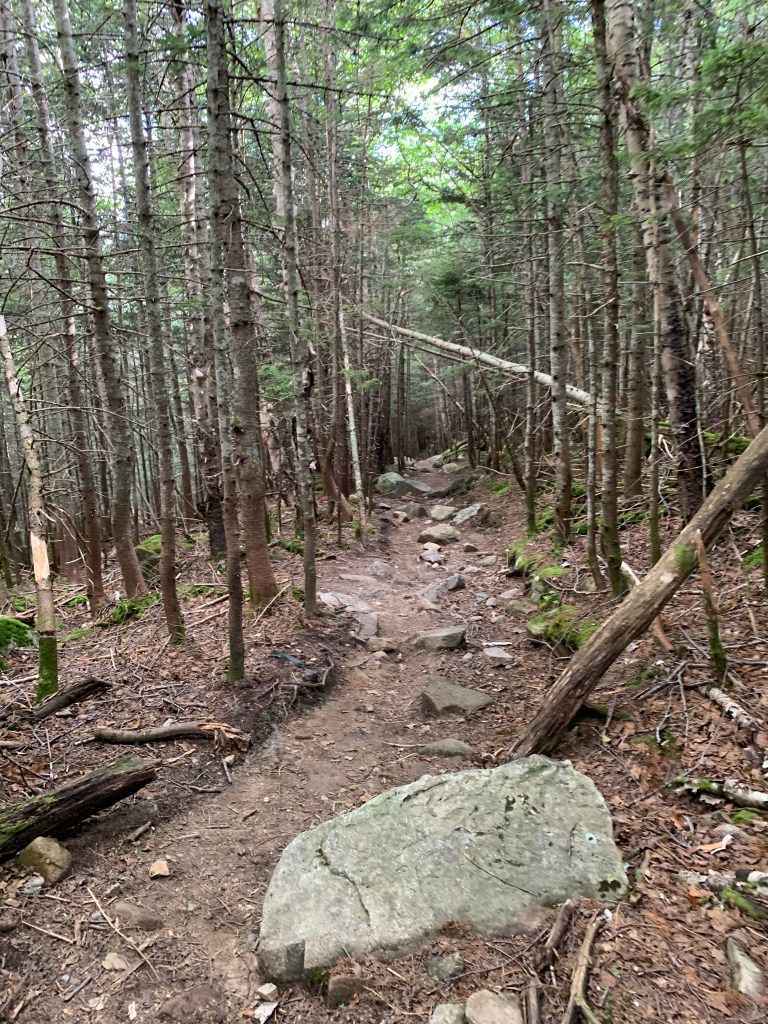
Its just over 2 miles to the summit of Mt Hale from the trailhead. The trail starts with a moderate ascent over a well defined and traveled trail. There were a couple water crossings and some waterfalls along the way. One thing that really caught me off guard was the existence of switchbacks. I thought these were not allowed in the whites, I never see them! The trail does get steeper the higher you get but nothing outrageous and not expected of a 4000 footer. I would say it is one of the easier hikes yet offers nothing in the way of view from the summit.
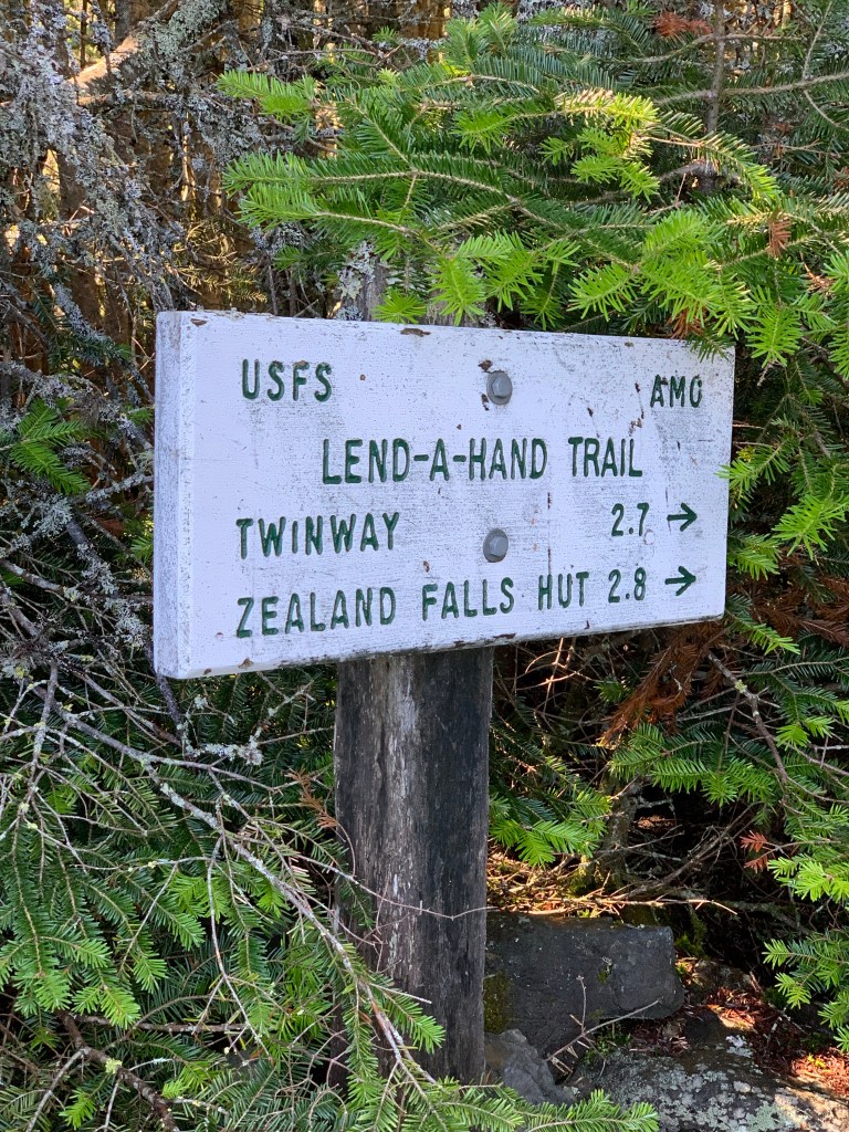
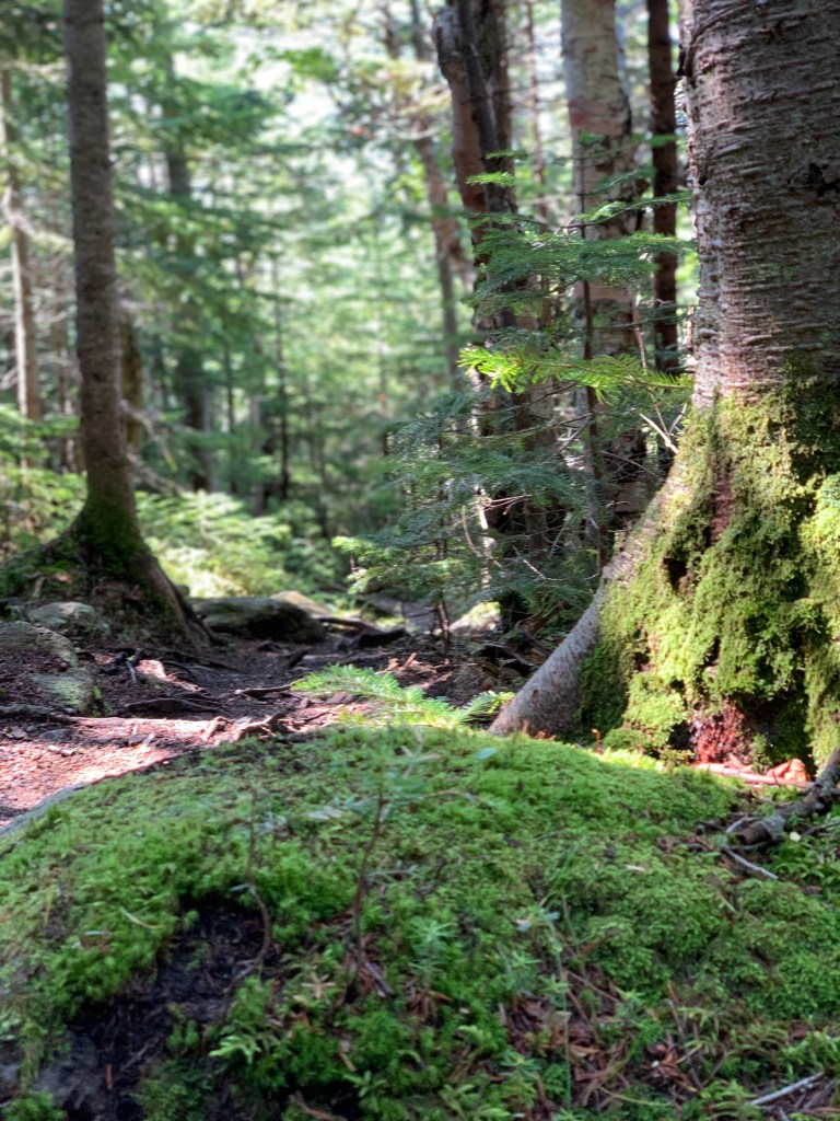
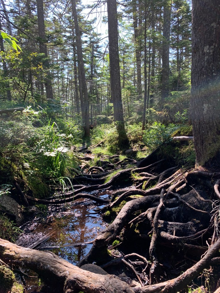
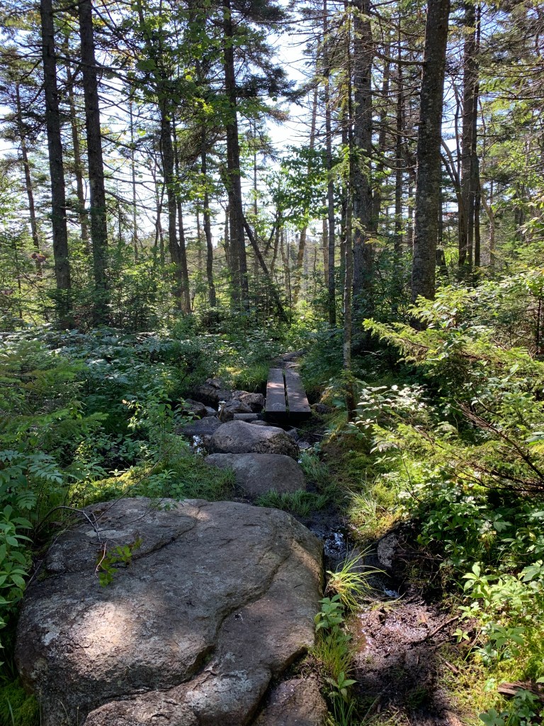
From Mt Hale I began to head south toward Zealand, my next stop. I had never heard of the Lend-A-Hand trail until I planned my route. All I can is that it seems to be a hidden gem of a trail. The terrain dips very steeply from the summit of Hale via a rocky pine tree lined trail. When it does bottom out, it is very swamp like with mud and lots of standing water. This is likely due to the unusually rainy summer we have had so far. There are long stretches of bog bridges and areas of rock hoping over mud and water. There are intermittent reveals of the steeps to come after Zealand hut. But those can wait and Lend-A-Hand remains pretty flat with a gradual incline toward the end.
At about 10:30 am I arrived at Zealand hut. There is definitely something about the huts. They are kind of welcome oasis is an otherwise deep wilderness. They offer drink, snacks as well as means and overnight accommodations. Post COVID you do need to bring your own sleeping bag and pillow as they no longer hand out pillows and blankets. I did hang out here for about for about 15 minutes. Took in the the amazing Zealand falls before heading up to Zealand Mountain.
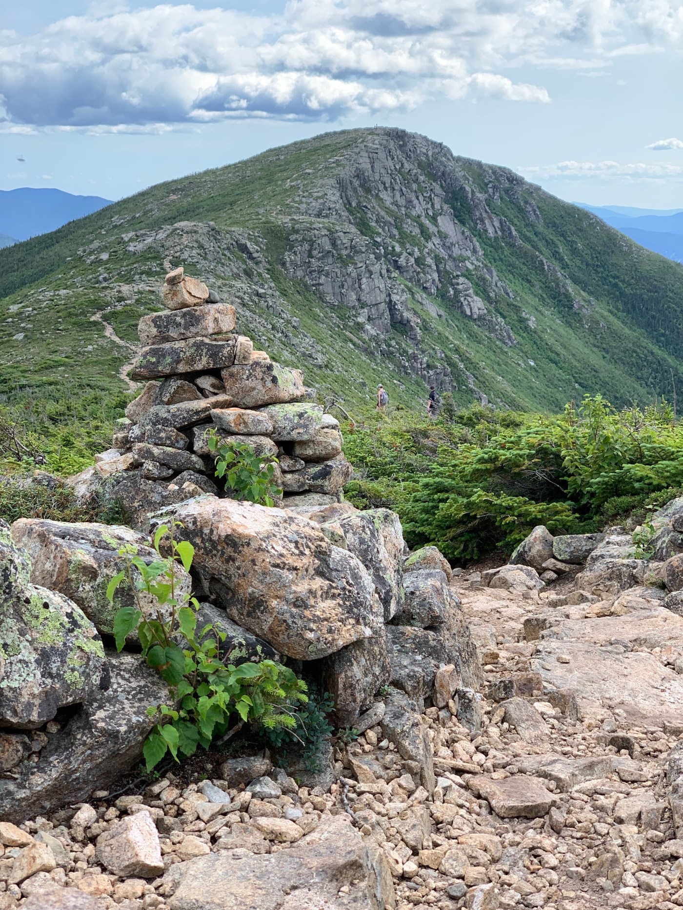
I left Zealand hut at about 10:45, The trail crossed the stream a couple times through some flats and then went UP. A long steady incline with some boulder scrambling and stone stairs was the name of the game for the next hour or so. I had noticed on the map a small side trail coming up. Having heard that Zealand offers little in the way of views, similar to Hale, I felt obligated to check out this side trail. From the map it looked to be maybe a quarter or half mile side trip. The lookout found on this side trip was definately the highlight of the views for Zeakand Mountain. Although the uncommon suumit sign at the summit near the summit cairn is pretty cool.
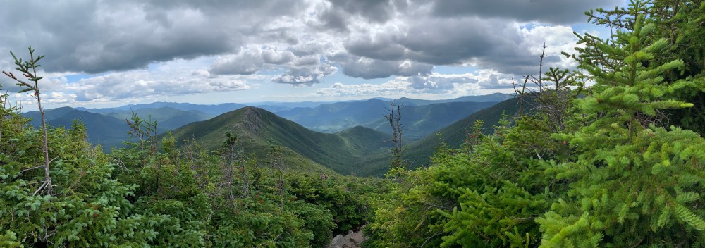
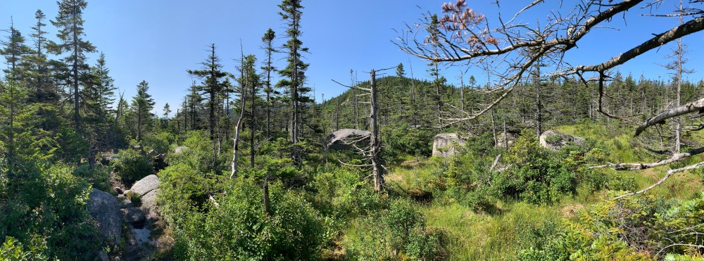
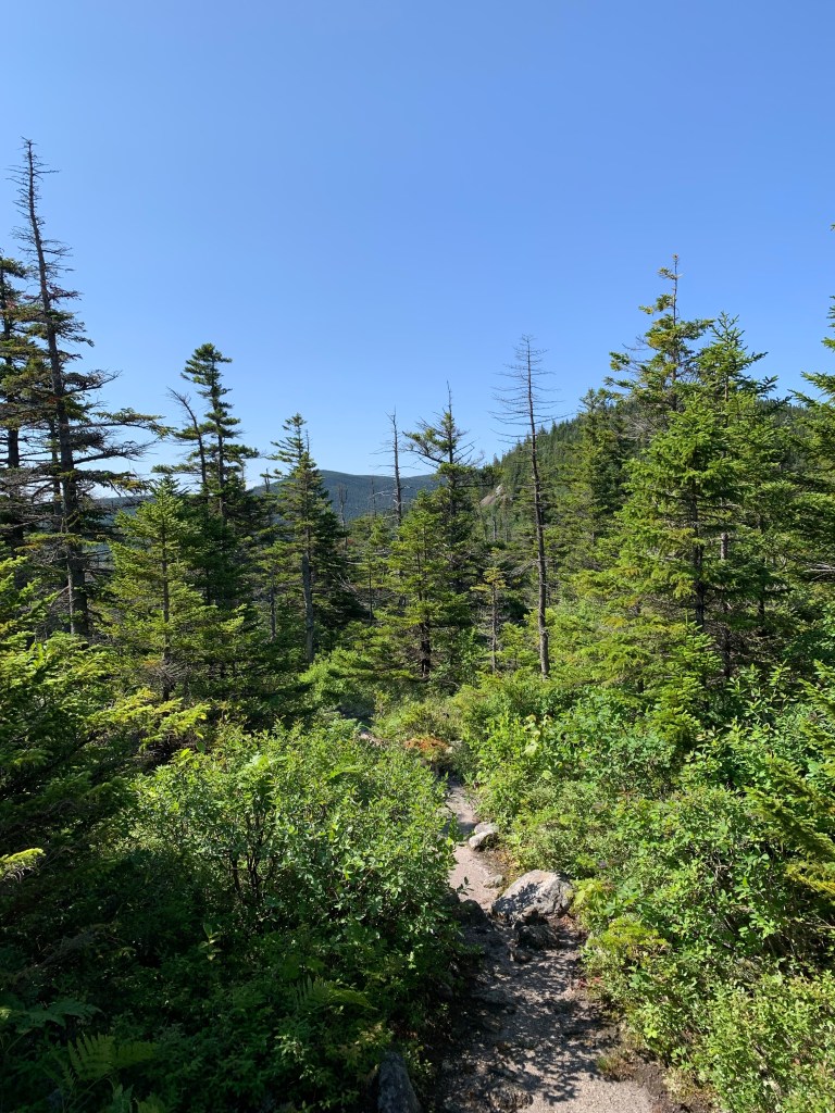
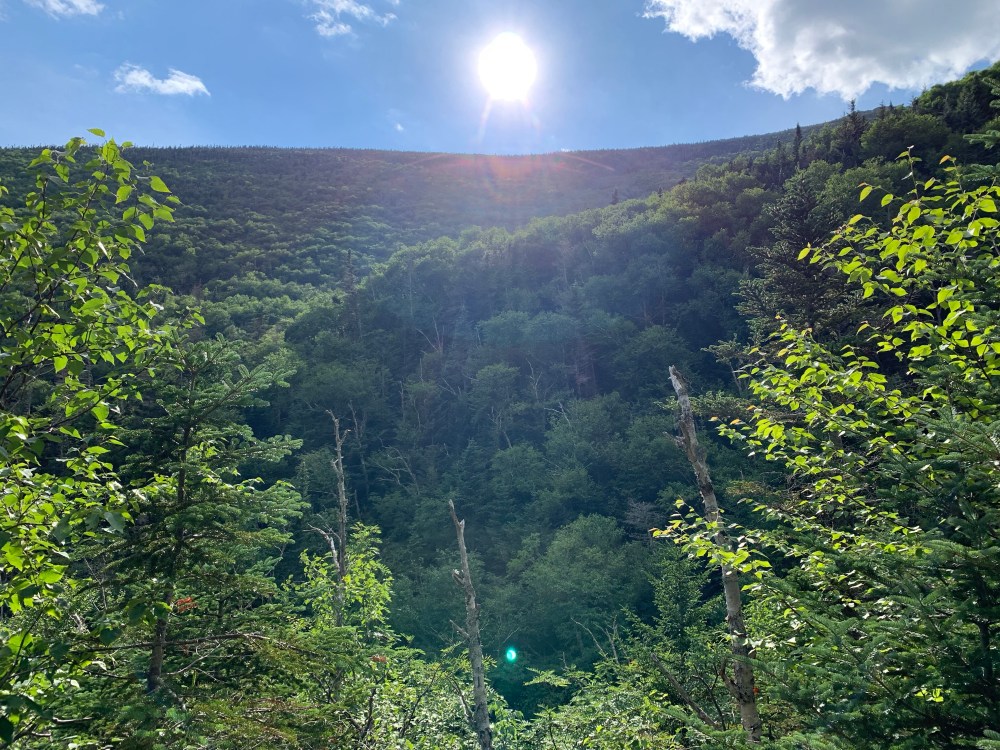
At about 12:30 I left Zealand bound for West Bond. What I had not counted on and was not really prepared for was Mt Guyot. I had heard that it is beautiful and knew it was in between me and West Bond. I made my way along the ridge on Twinway Trail. I was deep in ledgy, mossy bouldering forest at this point, going further into the Pemigewasset Wilderness. I soon passed a ‘Welcome to the Alpine Zone‘ sign. I had been steadily rising in elevation toward the summit of Guyot, which was not yet visible. The foliage starts to become a bit more sparse, the trees shrink and the terrain becomes very rocky. I rounded a bend in the trail to the west and was greeted with a view that honestly took my breath away. It was one of the “Am I supposed to be seeing this?” moments I have experienced on Franconia Ridge, South Twin and Garfield. Sweeping views of South Twin to Garfield to the iconic Franconia Ridge and Owls Head. It was a very spiritual and humbling feeling. I so enjoyed the alpine hike from here up and over the summit of Guyot. I didn’t want to leave.
As I left Guyot, the summits of West Bond and Bond are prominent. Again, being around hikers and Facebook hiking groups, I had heard about the Bonds. Its a traverse that must be done, must be experienced. I again was not prepared for what was to come.
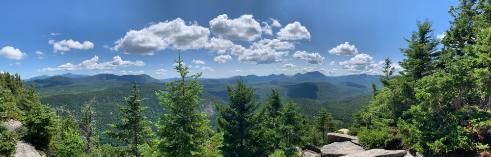
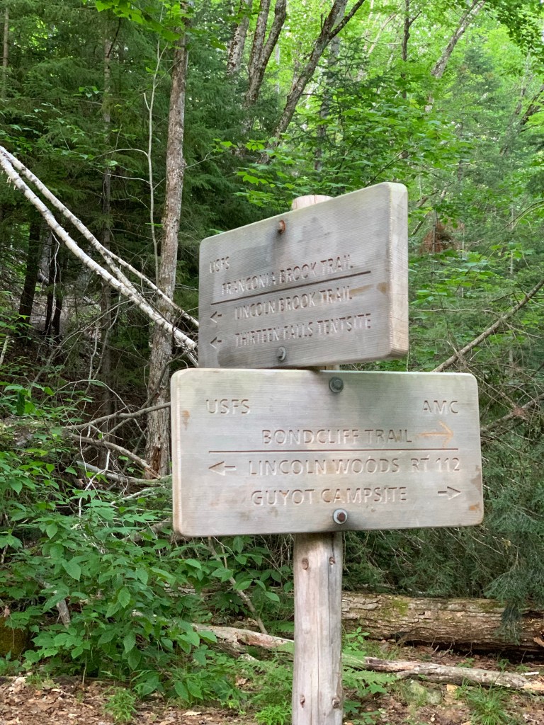
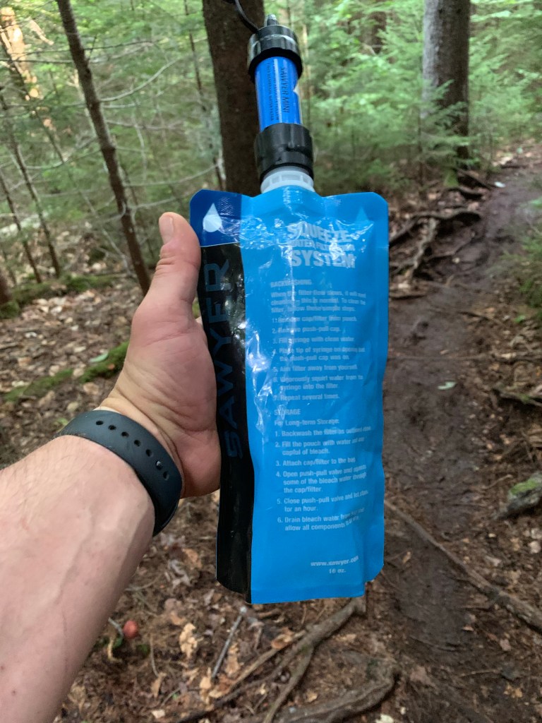
I descended Guyot to a col before the rise up the Ridge that is the the Bonds. After dropping a few hundred feet, I came to the junction of the spur that leads to Guyot tent site. There is a spring at the site that I considered visiting to top off my water supply. In the end, I decided to skip this as I knew I would be not only coming to Black Brook but also the East Branch of the Pemi River on the other side of Bond Cliff. I could filter there if needed. The ascent from the col is steep. I soon encountered the spur that leads west to the summit of West Bond. On the spur, I was aware that I was descending, a lot. This not only puts in the back of your head “I have to go back up this” but also “The hike up West Bond must be substantial”. The steep descent leads to a flat before a steep rocky ascent to the top of West Bond. I didn’t have a lot of expectations of West Bond. It is amazing! The tight rocky summit offers the best views of the soon to come Bond Cliff. To the west is Franconia Ridge. To the south is South Twin, Garfield and Guyot to the south east. This is where I did refueling on ham, cheese and pickles.
At around 3:00 I left West Bond via the spur trail and got back on Bond Cliff Trail destined for Mt Bond. This section rose several hundred feet consistently but not noticeably steep. About a 30 minute hike brought me to the summit of Mt Bond at 4,698 feet. The best part of the Bond summit is the view of the ridge leading to Bond Cliff. View of the surrounding area are stunning as well but the Cliff trail build anticipation of whats to come.
I spent enough time at the top of Bond to assist a group of hikers with a summit group photo and then started to make my way along the trail to Bond Cliff. The initial descent from Bond along the trail is wooded with sporadic views of Bond Cliff and the surrounding wilderness. When I did emerge from the woods I was greeted with my favorite environment, alpine scrub, rocks and stunted trees. The walk to Bond Cliff cannot be described. Very similar feeling to that of Guyot. Tall cairns, rocky path lined with stones as a reminder to not trample the delicate alpine vegetation. Wild blueberries are everywhere. The trail follows the side of a ridge lined with bushes and shrubs. The views off to the west are mesmerizing. Rounding a bend reveals views off to the east of the Hancocks and Carrigain. The twisting path begins to rise up the north east flank of Cliff. I then found myself at the iconic Bond Cliff selfie spot. Being solo (as I always am) I could not get the classic Cliff photo but did get a version of it. Being the last of 5 4000 footers on the day, I did not linger as long as I would have liked on the summit. I was on my way down at around 4:30 after spending only 15 minutes on top.
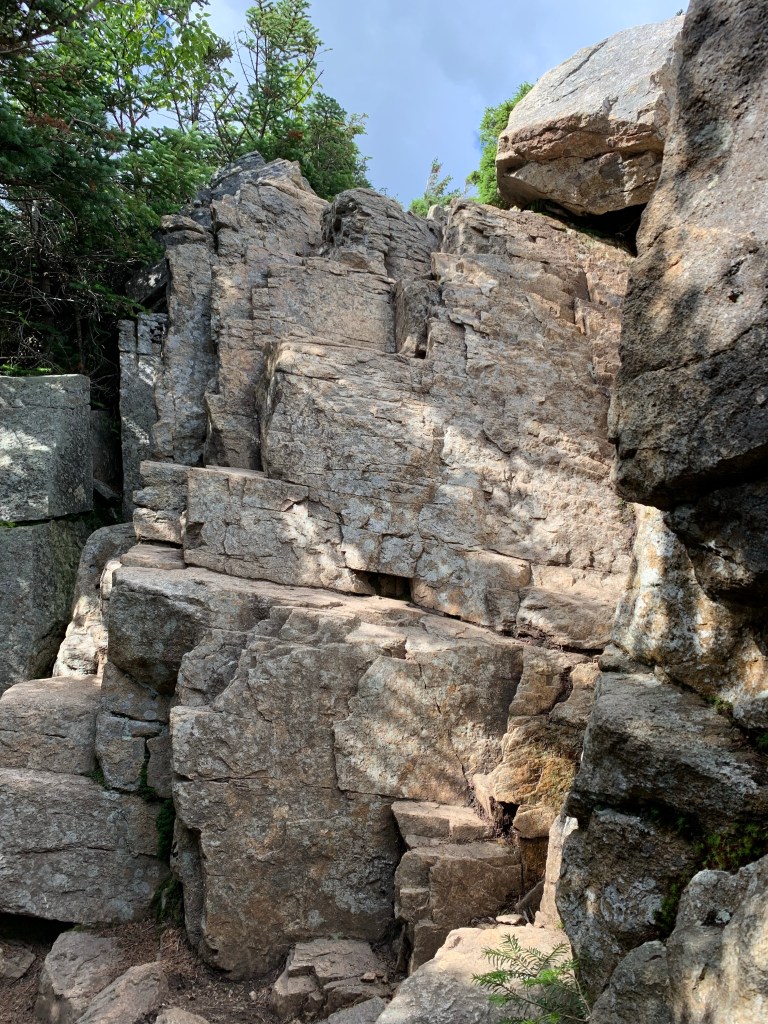
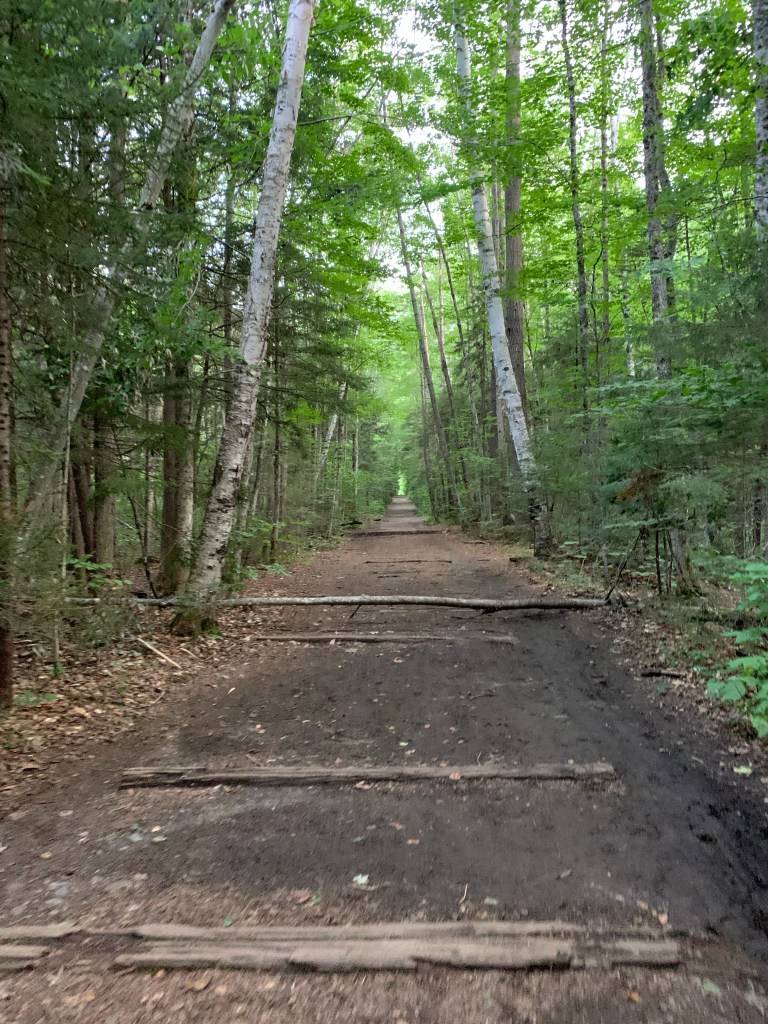
Making my way off the Bond Cliff summit I encountered the most challenging spot from the entire day. Caught me off guard actually. I very steep rock face to descend. I didn’t spend a lot of time looking for an alternative route and just got to work getting down it. I was able to turn around and kind of go down it like a ladder. Little nerve wracking but I made it. It was then smooth sailing over very varied terrain. I was able to filter some water from the ice cold Black Brook. It was a VERY long descent down Bond Cliff Trail to the Lincoln Woods Trail. I again filtered water from the Pemi. The hike out on Lincoln Woods trail was so VERY VERY long and flat. It is actually an old railroad bed and is very straight and boring to be honest. I like to think of it as a nightmarish treadmill. Was I actually making forward progress? Hard to tell at times.
TIP: Bring some sneakers to change into for this part. I did run about a mile and a half of this which would be easier in sneakers. I made it the Lincoln Woods parking lot at 7:53 pm. I entered the woods at about 7:50 am. 12 hours in the woods, 11 hours of actual hiking time.
I’ll be back to spend an entire day on the Bonds.
This was a very emotional day. I pushed myself hard to get this done. Of course walking all day to your car is motivating, there is no real alternative. By far my best day in the Whites on my journey to hike all 48 4000 footers.
| Miles | Elev Gain | Time |
| 22.6 | 6000′ | 11 Hours |
