
7/10/21
Throughout the week before this weekend, I went back and forth with route planning. I use various sources for this. I use paper maps, Alltrails as well various Facebook Groups I belong to. FYI: Your mileage will vary with the quality of answers and feedback depending on the group as some are infested with very arrogant and annoying people. Using these sources I was considering the more traditional Gale River Trail to Galehead Mountain and the Twinway to South Twin and North Twin Trail to North Twin Mountain. Following the same route would make for an out and back of about 14 miles and 3 4000 footers. I wanted a loop and my first thought was to add Garfield by ascending Mount Garfield Trail to the summit of Garfield and then follow the Garfield Ridge Trail to Galehead, on to the twins, and then out the Gale River Trail. This route clocks in at just over 20 miles and (4) 4000 footers. Ultimately I chose to ascend Gale River to Galehead, onto the Twins, and then when back on Garfield Ridge Trail make a game-time decision on including Garfield. This route assured me of the 3 mountains getting done. If I did Garfield first and South Twin turned me around, I would still have moderate success on the day, but not optimal.
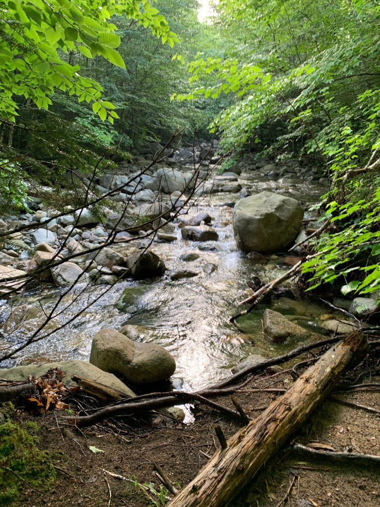
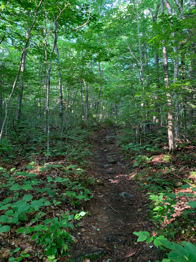
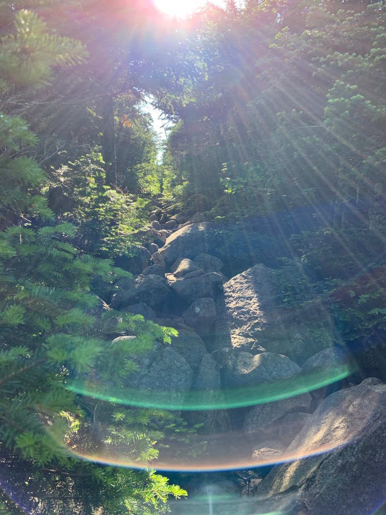
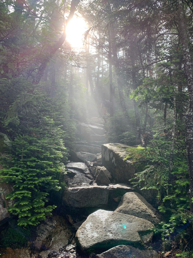
Buy 6:30 am I was walking the Gale River Trail making my way to the intersection of Gale River and Garfield Ridge Trails. This started as a fast, easy hike with no significant obstacles or elevation gain. I met a hiker who coincidently is from my neck of the woods, southern New Hampshire. We chatted about our plans for the day as we hiked. I learned that at about 3 miles in, the trail would get steeper. When the trail once again came close to the river, it veered right and went up. Not terrible, but much steeper than it had been. It remained pretty steep until I got to the Garfield Ridge Trail junction.
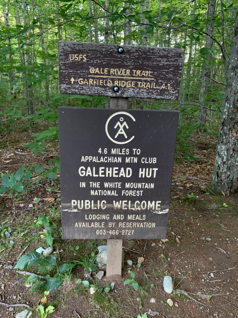


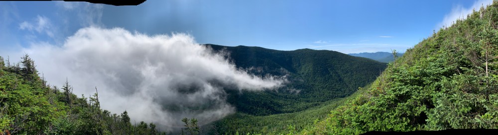
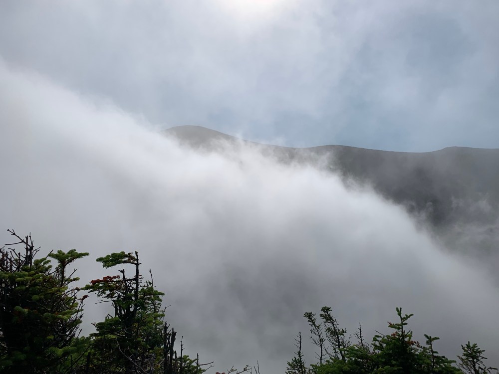
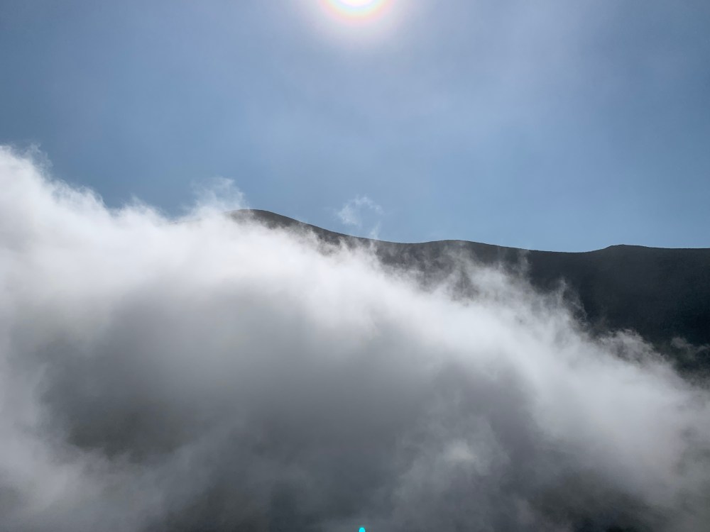
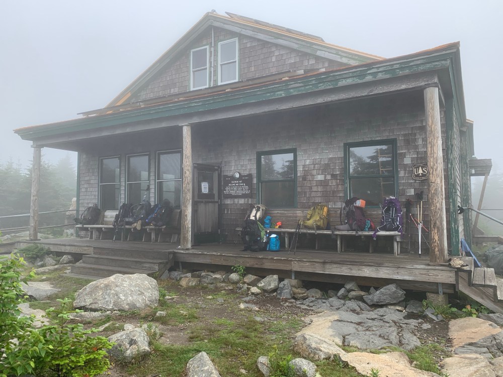
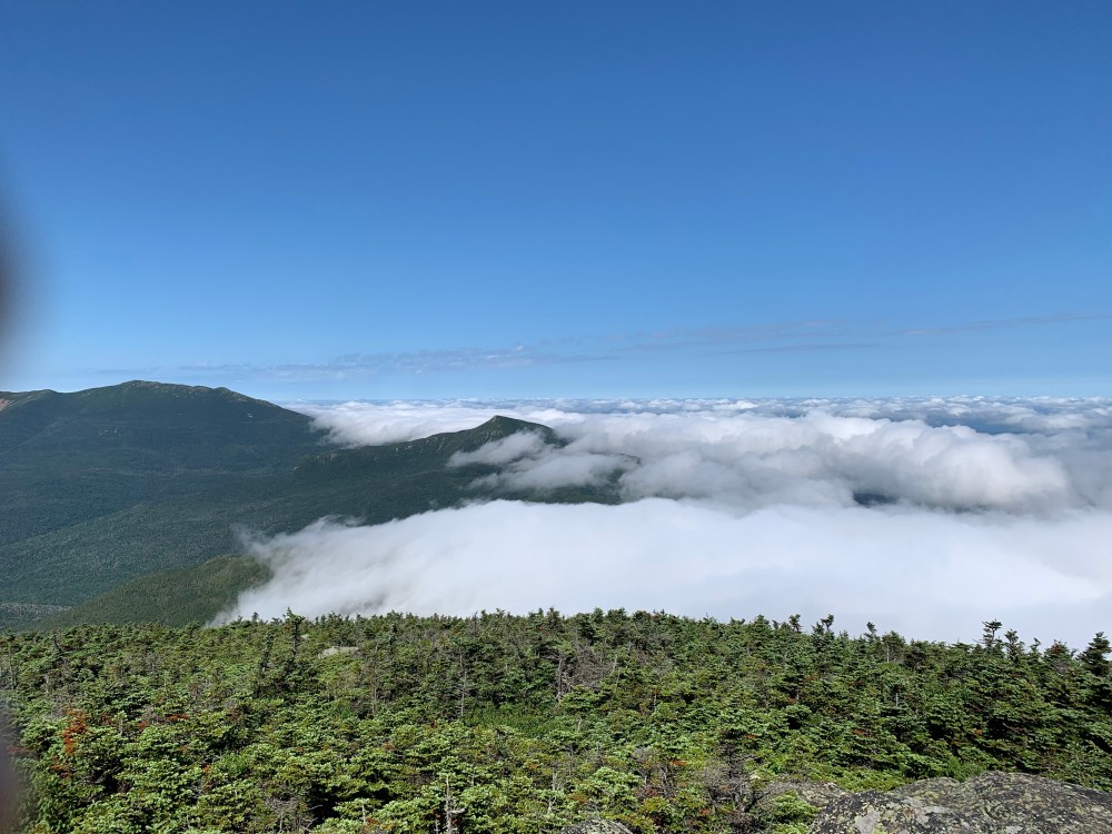
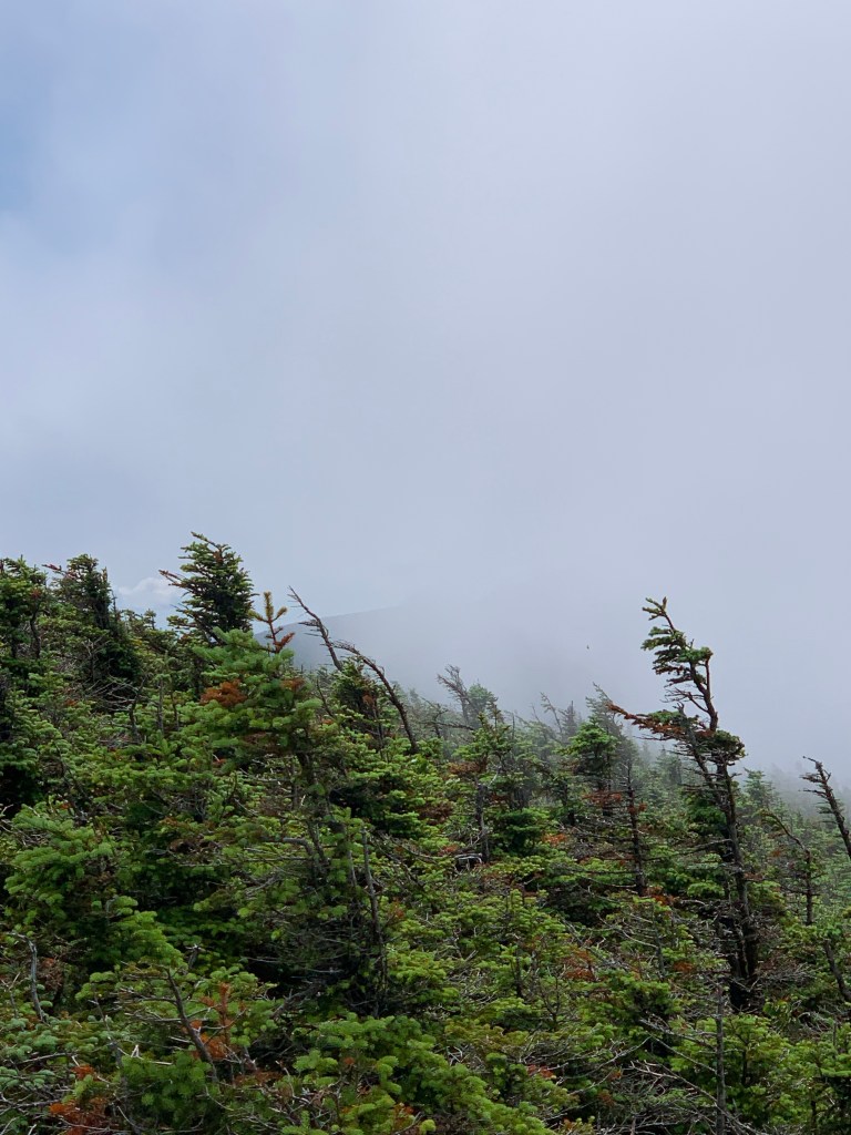
Once beyond the intersection of Gale River and Garfield Ridge the trail leveled off and traversed the ridge to the Galehead Hut. I snapped a photo or two of the hut and admired the location where I suspect there is an amazing view when the clouds a higher. After this 5 minute break, I walked past the hut and continued up Galehead via the Frost Trail. This is about a mile round trip from the hut. I should have dropped my pack for this but didn’t think about it until I was almost to the summit. I met the most amazing lookout and view about 3/4 of the way up. Clouds were drifting through the col between Galehead and The Twins. I was at eye level with a cloud with South Twin peaking above from time to time. There are no words to describe it.

And then the anticlimactic summit of #25, Galehead Mountain at 4,024′

I made my way from the summit of Galehead back to the hut pretty quickly. Took in the improving view for a minute, then back down to the Garfield Ridge Trail junction where I continued to the right on the Twinway toward South Twin Mountain. I heard of the ascent of South Twin and it did not sound like fun. At all. From this junction to the summit of South Twin is only .8 of a mile. But it rises 1,150 vertical feet. That’s steep. I made my way up the very difficult section and was on top (4,902′) at 9:50.


South Twin Summit 4,902′
The summit of South Twin is like no other I have been to. Of course, each summit seems to become a new favorite but there is something special about South Twin for me. Lincoln and Lafayette will always be number one for me in the Whites but South Twin is very close. maybe it’s the difficulty in getting there that does that? I did take my pack off and spend some time on South for a snack before heading out on the just over 2 miles round trip to North Twin and back to South.
The hike from South to North Twin (4,760′) was not overly steep but was extremely muddy! Several times I stepped where I thought there was a rock only to sink up to my ankles in mud. I eventually gave up trying to get around and resigned myself to a sock change when I got back to South Twin.


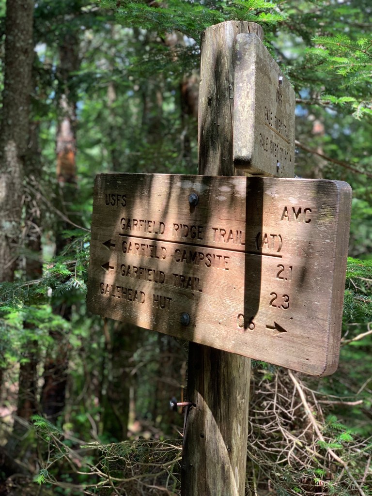
The walk back to South Twin from North Twin was just as muddy. I appreciated the South Twin summit once again for a bit and then made my way down South Twin toward Galehead Hut once again. I reached the junction of Garfield Ridge Trail and Gale River Trail (the way I came up) around 12:45 pm. I had set this junction at the location where I make the call on continuing to Mt Garfield or descend via Gale River Trail to my waiting car. I was feeling good so I decided to move on to Garfield. I was at 14 miles and knew I was in for 6 or 7 more. What I underestimated was the difficulty of the traverse to and the ascent of Mt Garfield.
I walked less than a quarter of a mile toward Garfield and the trail went VERY steeply up a scramble of large boulders. It then leveled off for a bit and went downhill for a little way. This up and down continued until I reached a very steep slab that I had to go up for about 50 feet.
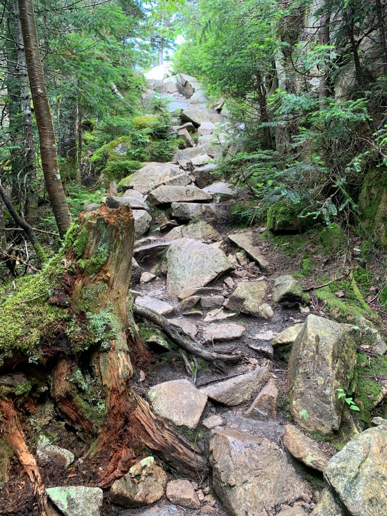
Very Steep 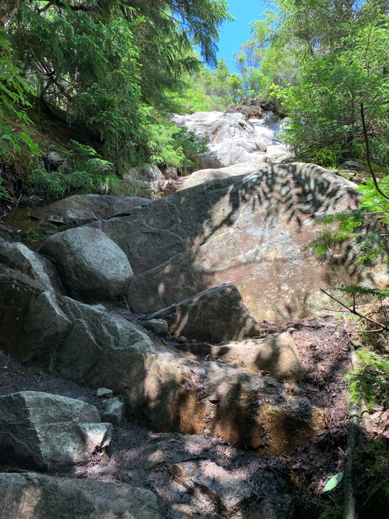
Tough, Steep Scramble
I encountered very wet swampy type areas followed by sideways slanted slabs at 45 degrees that were wet and slippery. Bog bridges followed by ladders. I had not planned my water very well and was down to about a liter. Should be enough to get me the next several miles but I felt I wanted more just to be safe and comfortable. Ascending one of the very difficult and steep scrambles I pulled to let someone come down. A brief chat revealed that I can filter water just ahead in a waterfall in the middle of the trail. I did not know I would also have to ascend the waterfall. I climbed partway up to where I could take my pack off and get my water filter. I filtered a liter pretty quickly and drank a full bag the ice-cold water. I watched as a few hikers came down the partially dried-up falls. Scooting down very carefully, they arrived at the bottom. The duration of the falls scramble was at least 100 feet. Very steep angle and boulders so big I had to pull myself up and slide onto ledges. Once on a ledge, I’d plan the next step. I made a point to focus straight ahead and not think about what was behind me. This tactic helps me through the steep exposed portion of the trails.


Filtering Water 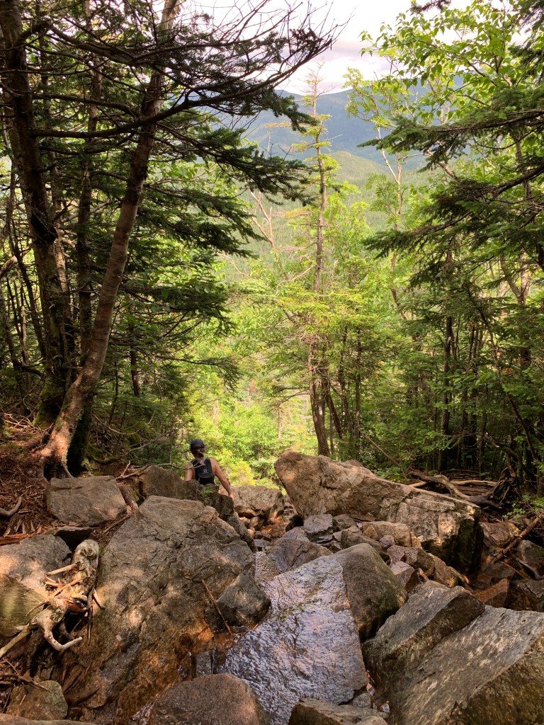
Looking down the Falls ascent
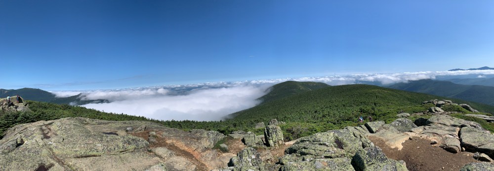
After the very difficult falls ascent, I was at the Garfield Camp Site and Spring. From here it was welcomed relatively flat until the junction of Garfield Ridge Trail, Mount Garfield Trail, and the Summit Spur. The half-mile from this junction to the summit of Garfield (4,501′) was VERY steep. My legs were pretty wiped out at this point and the summit could not come soon enough. I was rewarded with what many consider to be the best view of all the 4000 footers.


This was a VERY challenging day. I am so glad that I did it though. You learn about yourself when pushing that hard. I have to say I am pretty proud and impressed that I did this. One more long one to come, the Bonds in a few weeks.
| Miles | Elev Gain | Time |
| 20+ | 6200′ | 11.5 Hours |

Leave a comment