
The previous day I had debated going from Middle Carter on to North Carter and ultimately Mt Moriah. This would have been a substantial elevation and mileage increase over initial plans but I was feeling good and way ahead of schedule. I’m glad I followed my guy and ended at Middle Carter. The upper section of Mt Moriah is no joke.
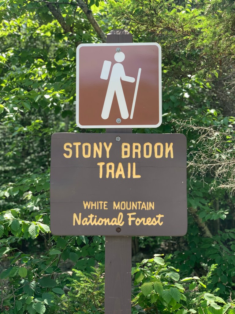
I was at the trailhead by around 5:15 Sunday morning. I knew the forecast for was temperatures around 90 with a chance of afternoon storms and I wanted to be sure I was off the mountain in plenty of time. My plan would to take me up Stony Brook Trail to Carter-Moriah Trail which would take me to the summit of Mt Moriah. My research indicated about a 10 miles hike with 3100′ of elevation gain. I should be done before noon.
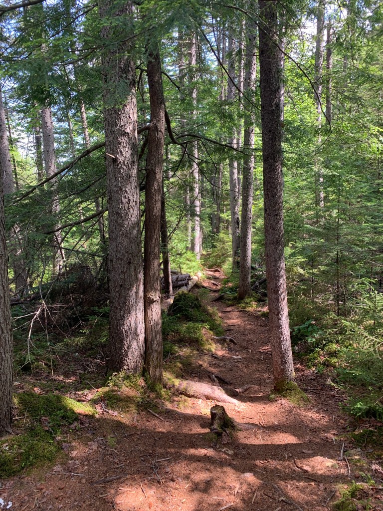
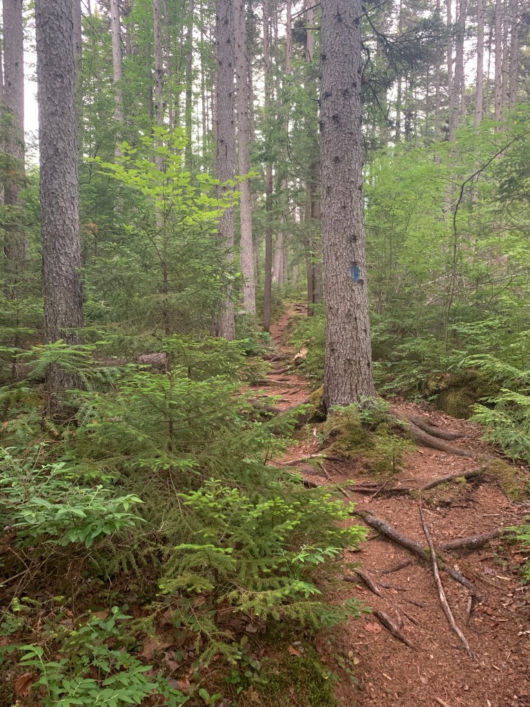
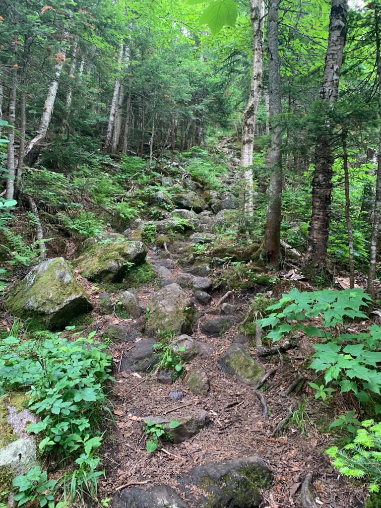
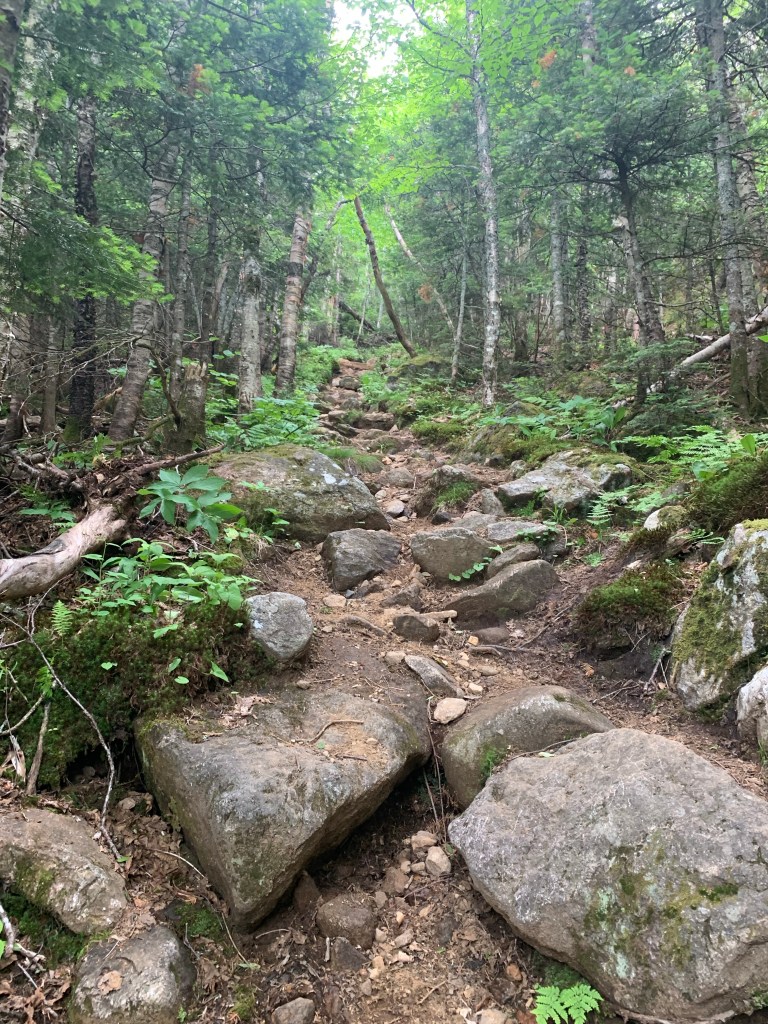
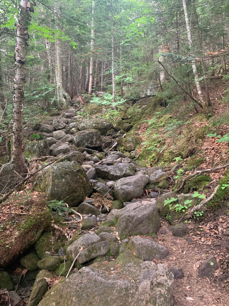
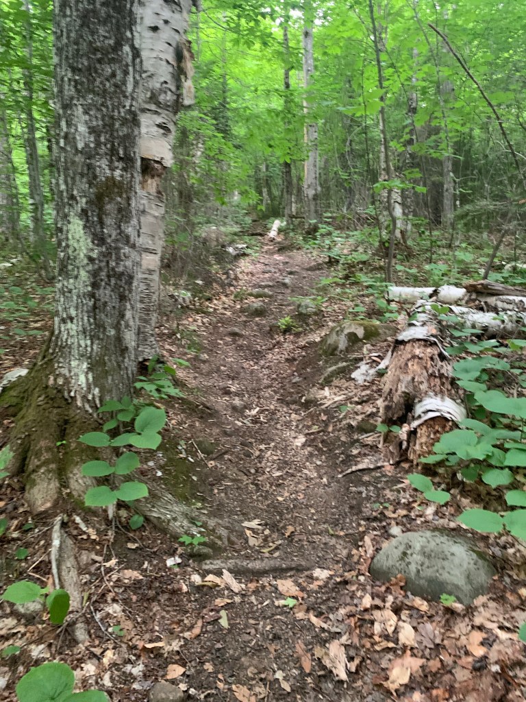
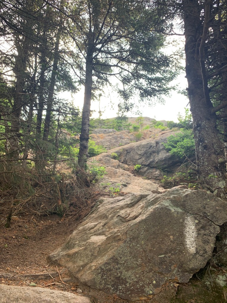
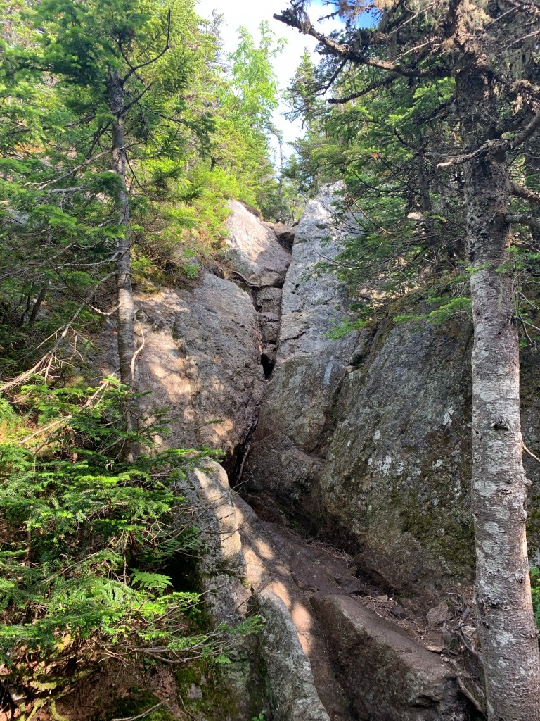
Stony Brook Trail starts pretty flat. After 2 miles I had only gained about 700 feet in elevation. Being about a 5 mile hike to the top of Moriah, I knew this trail was going to go UP very soon and in a pretty substantial way. That happened at about 2.6 miles. The trail went from a wide old logging road to a narrow, boulder infested scramble for the next 1.5 miles or so. Very steep with long sections of scrambles that required some router planning to effectively navigate.
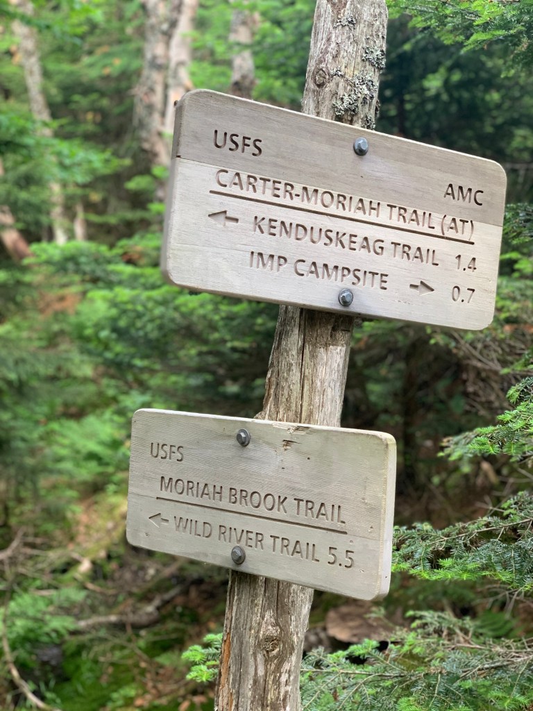
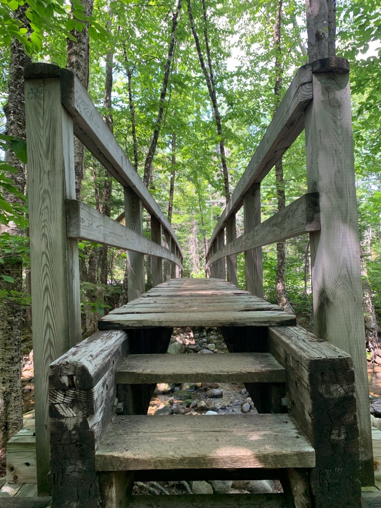
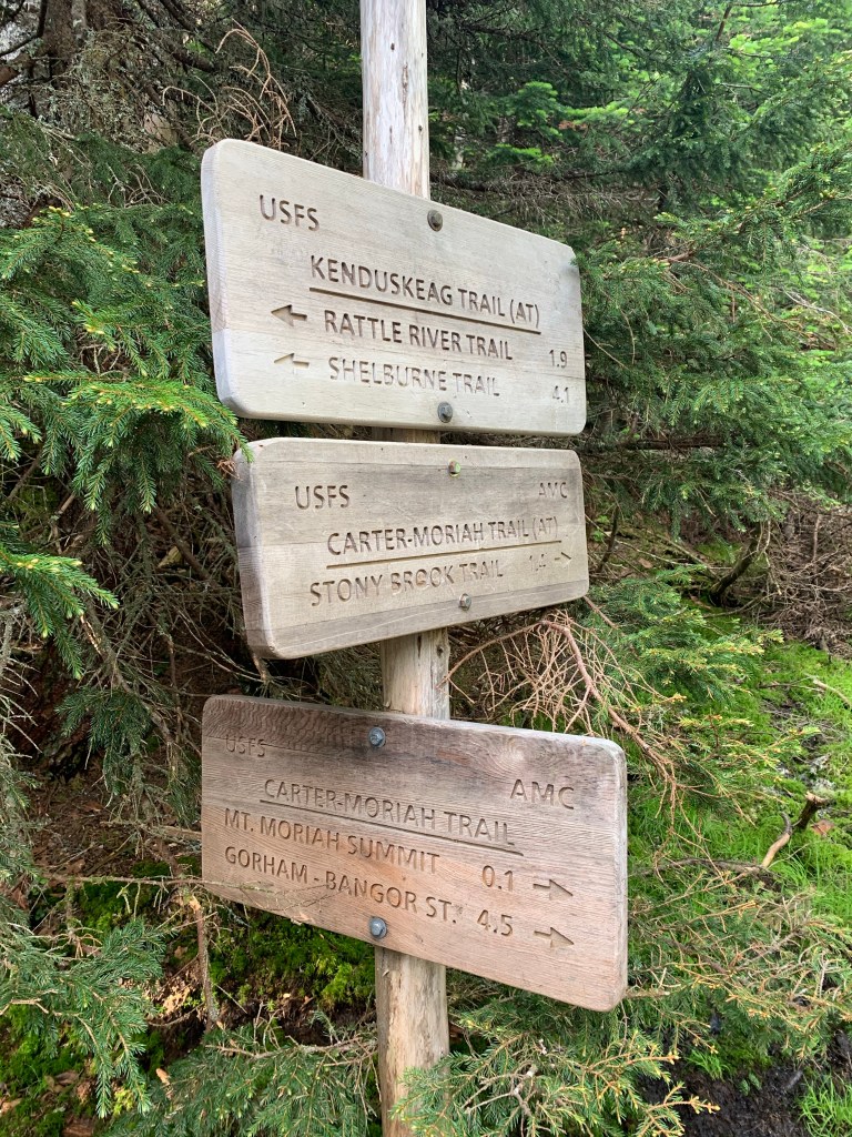
I then encountered a section of trail that kind of cut across the contour lines a bit giving some relief. The junction of the Carter-Moriah/Stony Brook and Imp Trails trail was met on a long bridge in a col between North Carter and Moriah.
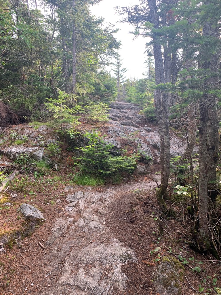
Once on the Carter-Moriah Trail that would bring me to the summit of Moriah, the terrain changed pretty drastically. The forest became more coniferous and the trail became rocky and with lots of ledge and exposure. The trail is not on the Terrifying 25 list but does offer some opportunity to test your skills and nerve a bit.
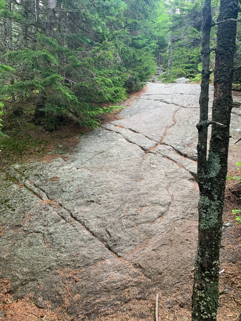
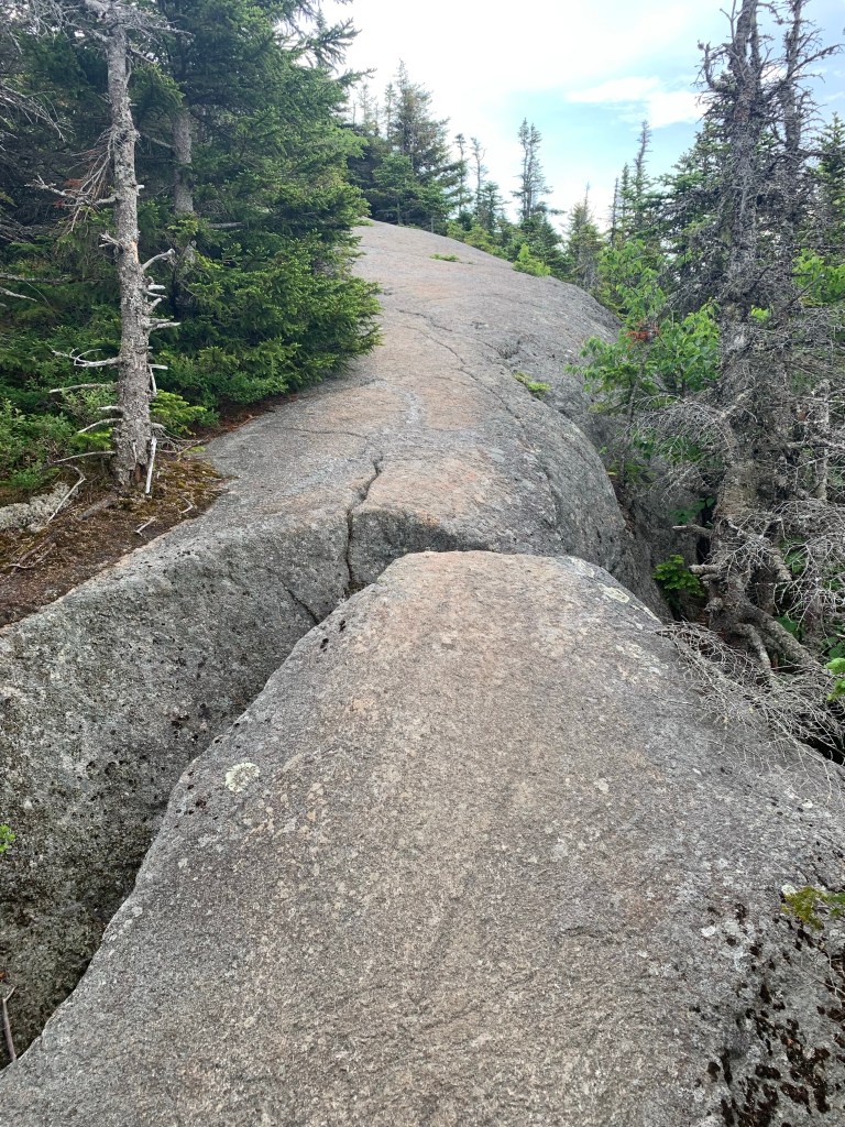
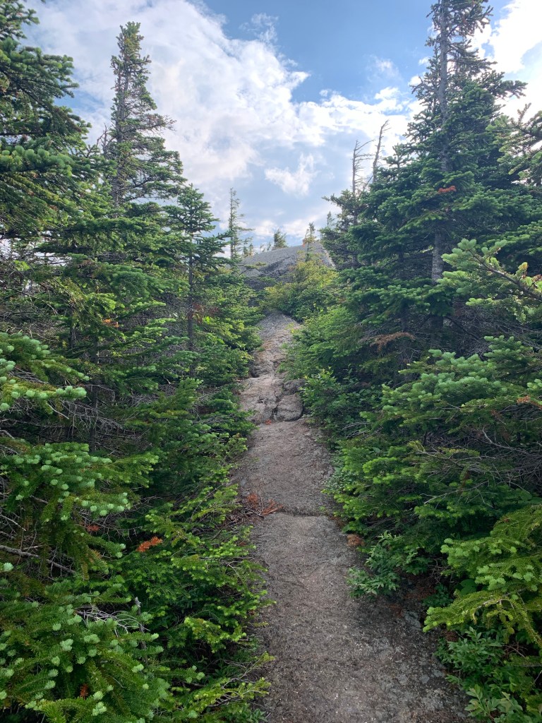
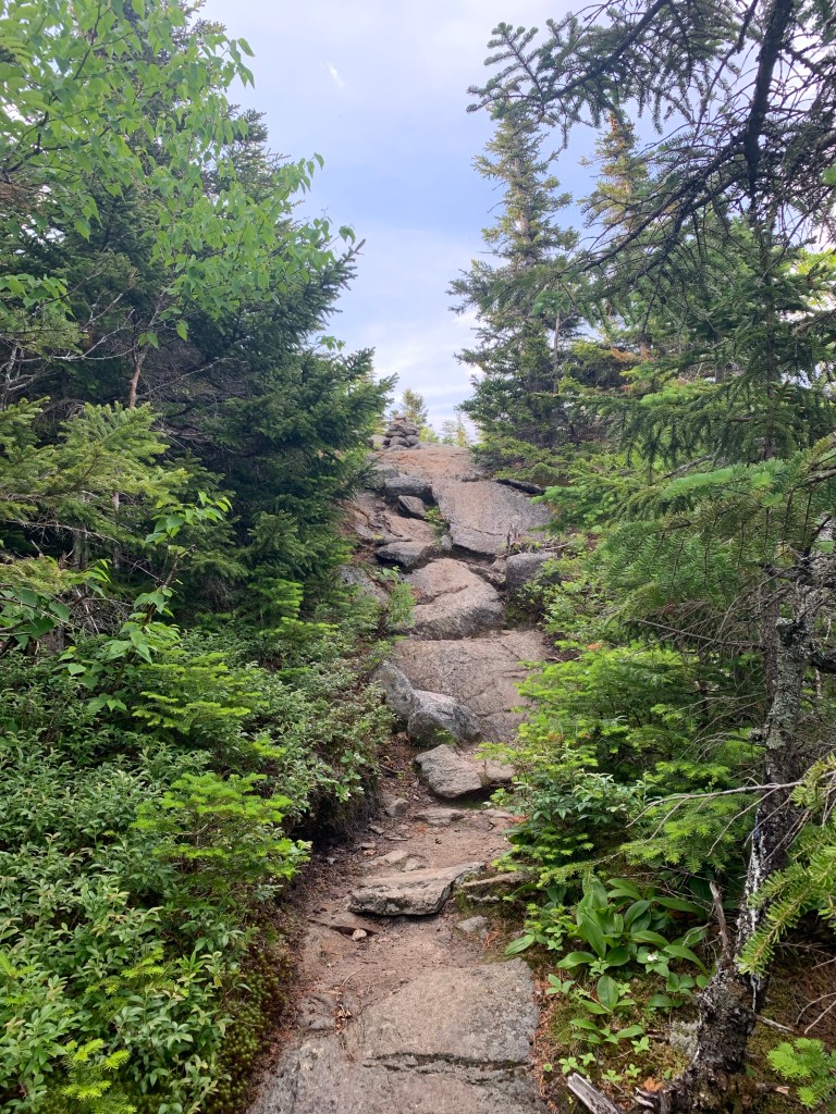
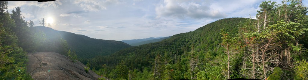
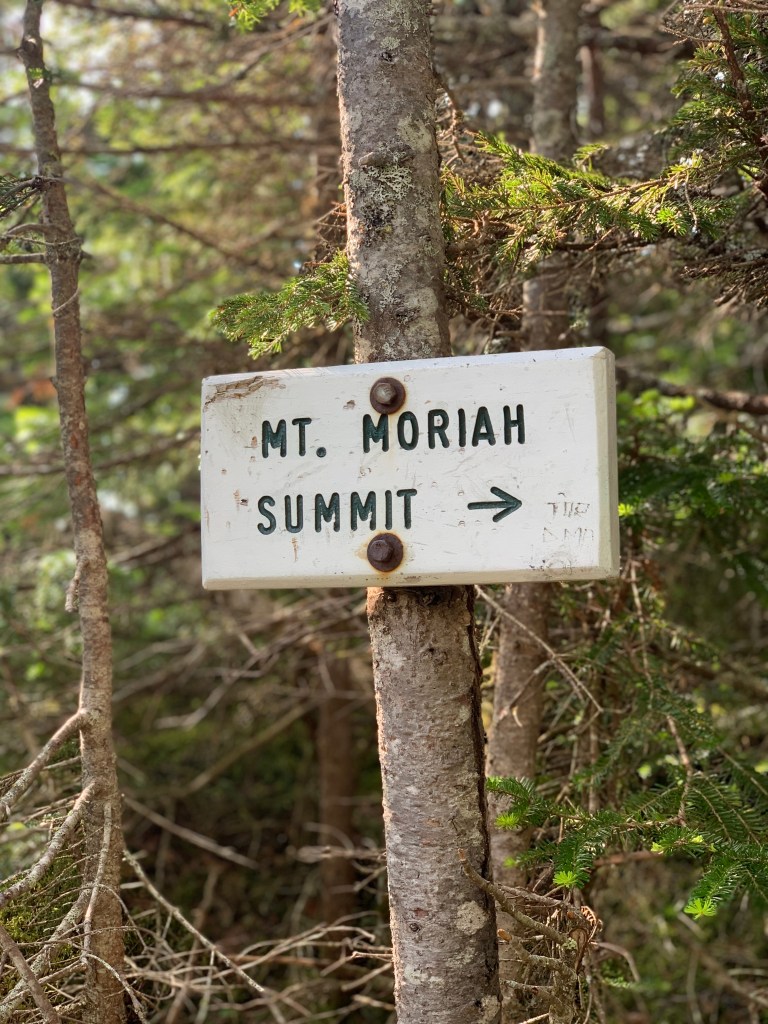
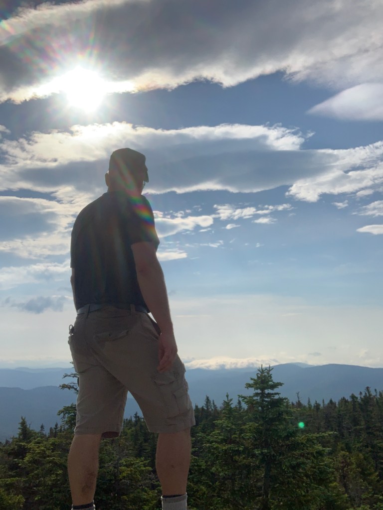
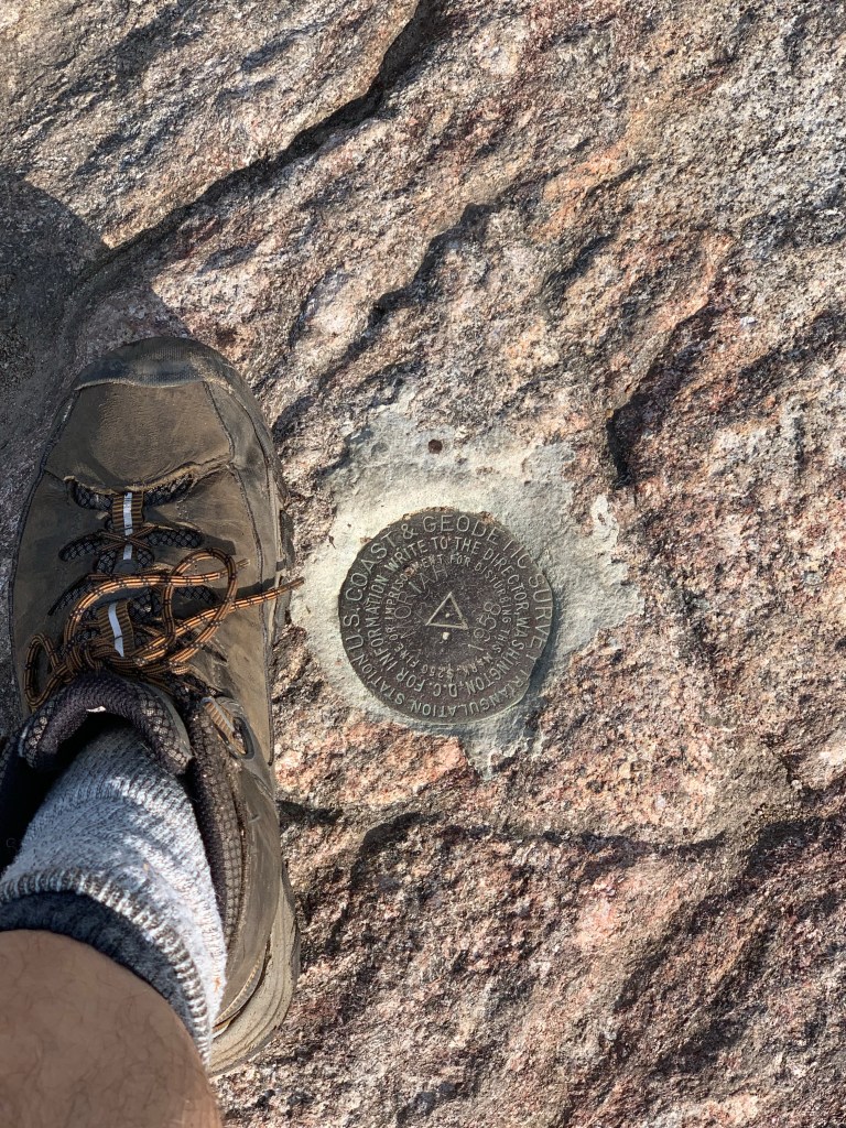
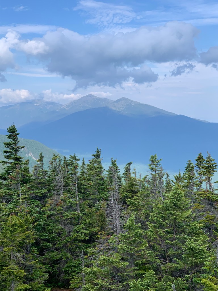
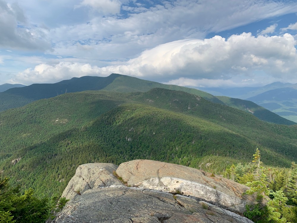
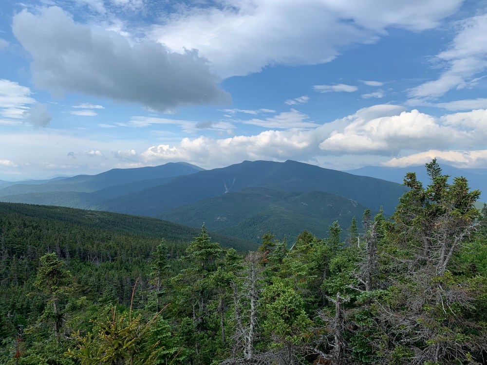
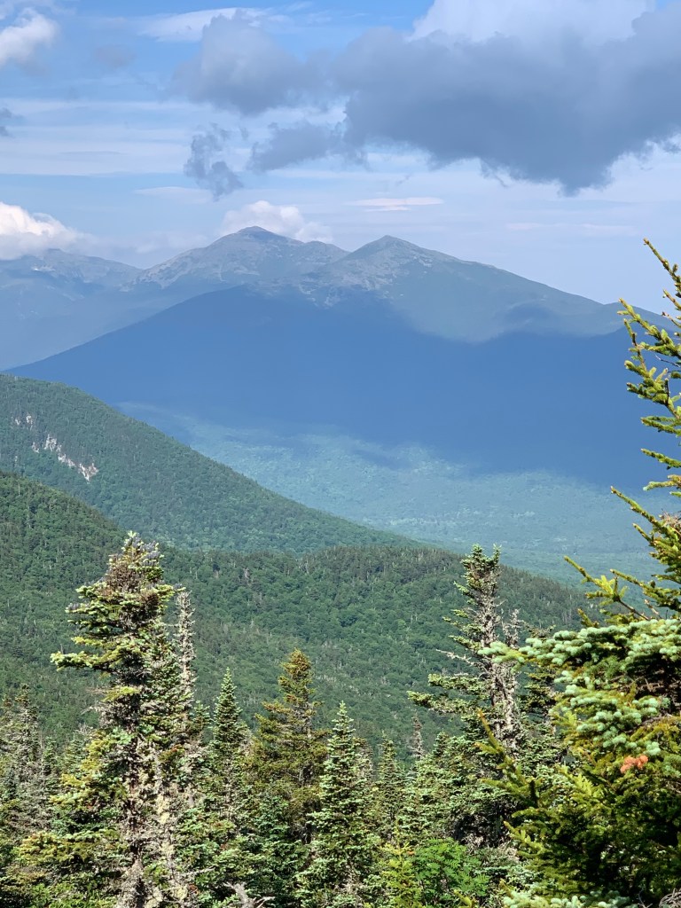
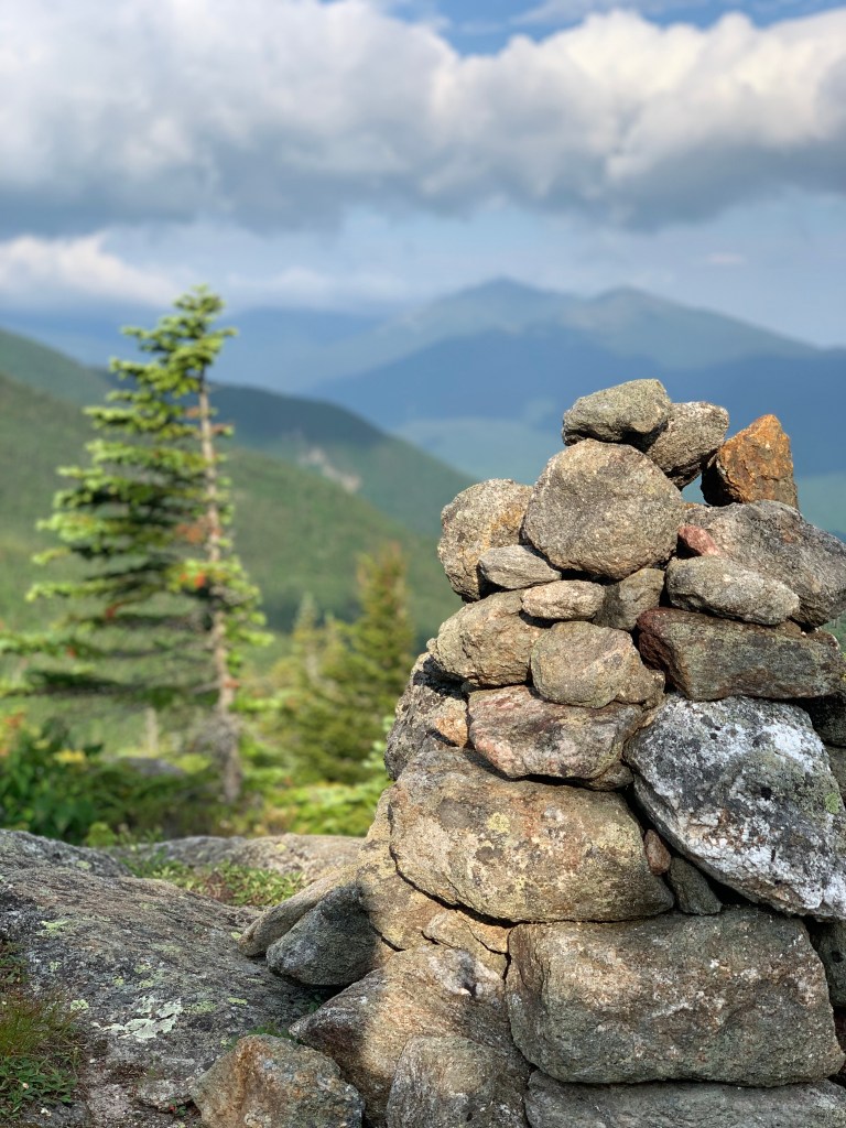
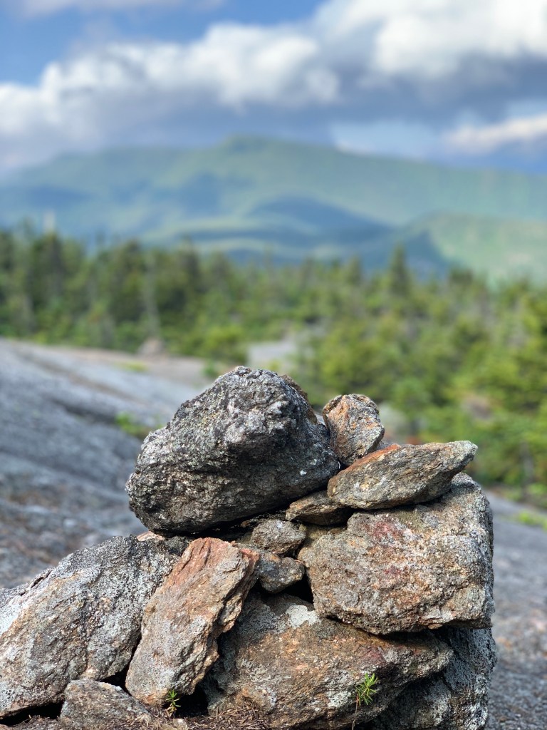
The upper sections of the hike are beautiful. The route is littered with opportunities to take in some of the best views I have seen thus far. The section is also notorious for false summits. Several times I found myself with a sense of relief as I thought I was done going up. You can really see the summit from these false summits. You’ll know you’re there by the summit marker and signs as you get closer.
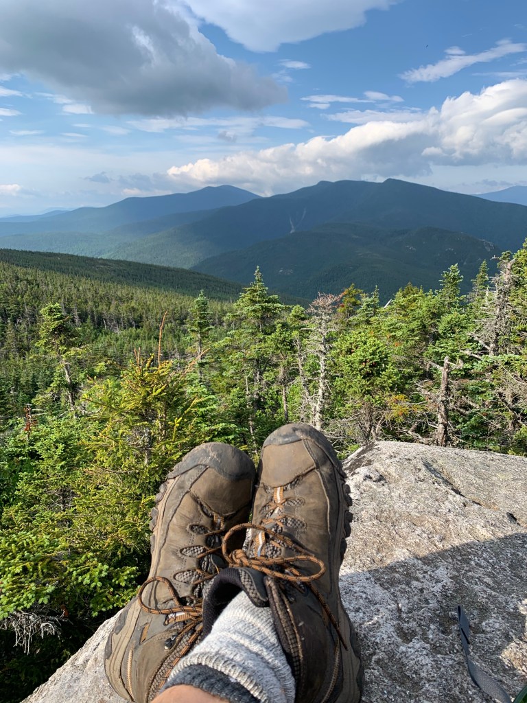
Mt Moriah was a really fun hike and more challenging than I had anticipated. I have learned that size does not matter in the Whites. Some of the highest peaks I have climbed have been relatively easy hikes. Moriah is a touch over 4000 feet but very challenging. It is one of the most beautiful hikes I have done and will definitely stick with me. Below are some photos from the descent.
| Distance | Elev Gain | Time |
| 10.5 Miles | 3183 | 5:30 |
