
I took Friday 6/25 off from work. Had some chores to do. I have been wanting to get a new car but am pretty upside down on my existing loan and not a fan of rolling inequity into another loan and being way upside down out of the gate. BUT, I am approaching 100,000 miles (this week) and need to consider how much I drive to get to my hiking destinations. What’s all this have to do with Friday you ask? The chores were new tires and an oil change. Once that was done I packed up and headed out for the lovely accommodations provided by the Walmart parking lot in Gorham. This is my go-to car camping lot for the northern White Mountains of New Hampshire. I haven’t scouted a southern spot but it most likely is Tripoli Road in Woodstock.
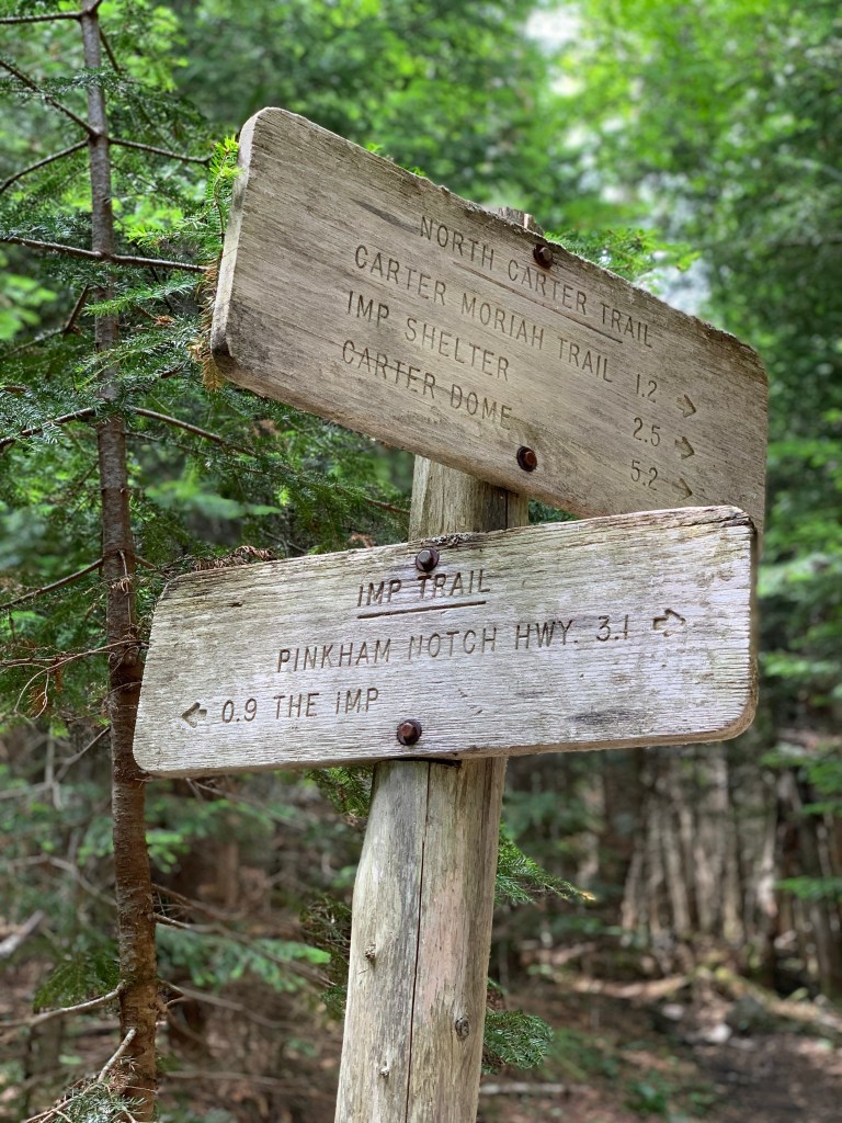
I had spent some time planning this adventure the previous week. You may recall I had planned on the Carter-Moriah range the previous hike when Madison and Adams caught my eye. So I was back to complete the goal. The plan was to take 19 Mile Brook Trail to Carter Notch. I would then take the Carter-Moriah trail up to Carter Dome, Mt Hight, South Carter, and then Middle Carter. I then would take North Carter Trail down to Imp Trail. From Imp I would take the Camp Dodge cut-off to Rt 16 where a brief street walk would bring me back to my car.

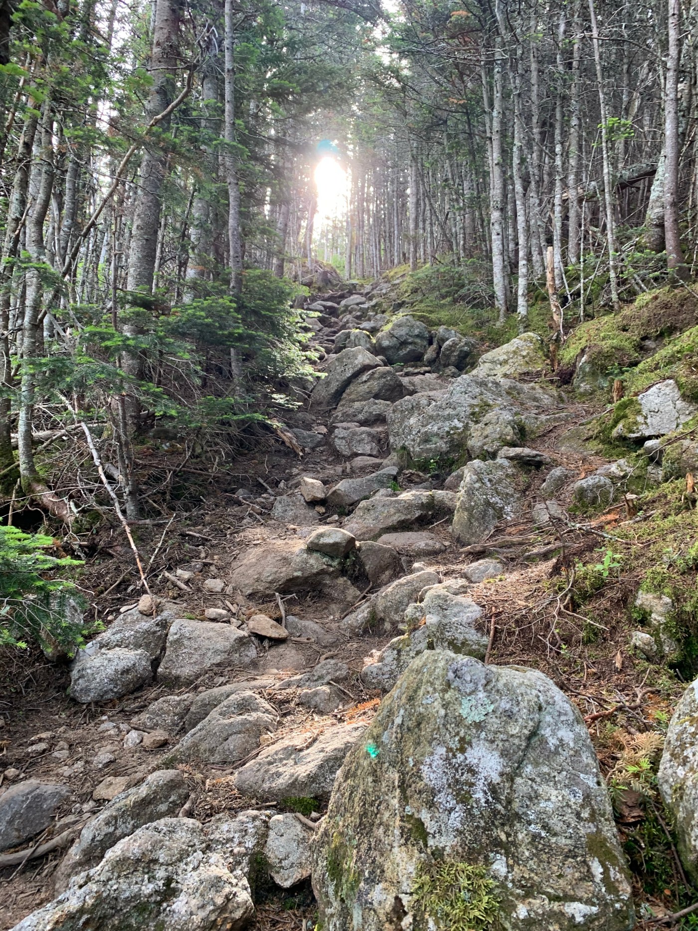
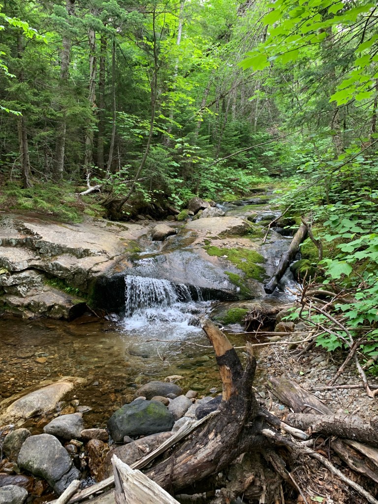
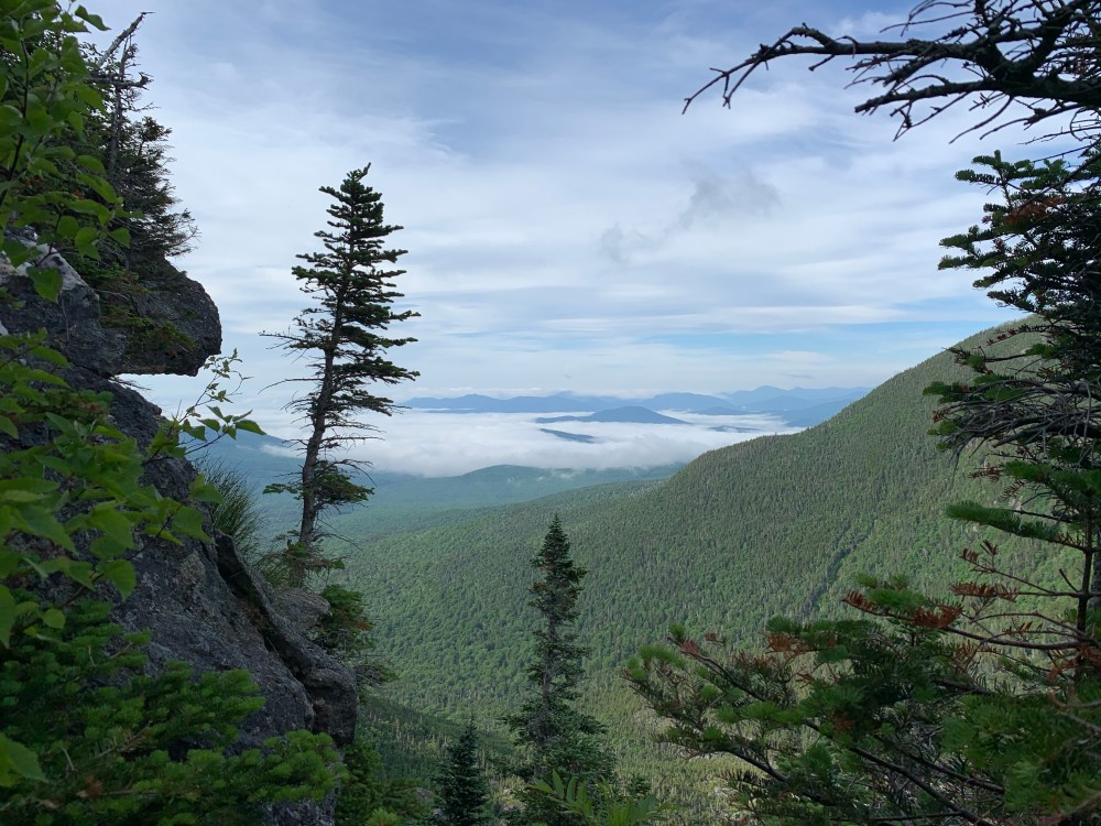
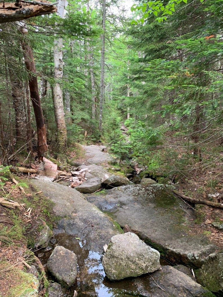
I woke early on Saturday 6/26 and was at the trailhead by 5:30 and hiking around 5:45 or so. The trail from the parking lot to Carter Notch is rolling and quite pretty. There are some steeps but nothing out of the ordinary for the area. The views of the river and peaks at times of Little Wildcat I woke early on Saturday 6/26 and was at the trailhead by 5:30 and hiking around 5:45 or so. The trail from the parking lot to Carter Notch is rolling and quite pretty. There are some steeps but nothing out of the ordinary for the area. The views of the river and peaks at times of Little Wildcat and the Carters keep the motivation up. I was surprised by the variety of birds through this stretch. I am far from a bird watcher and I cant identify many but I know I saw robins, grey jays, woodpeckers, and a large turkey-looking bird that ran screaming across the trail in front of me. Maybe a pheasant or grouse? Strange Behavior.
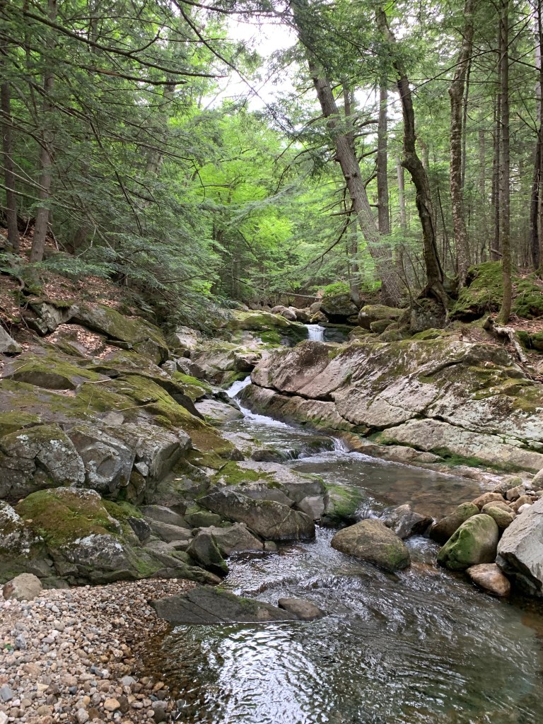

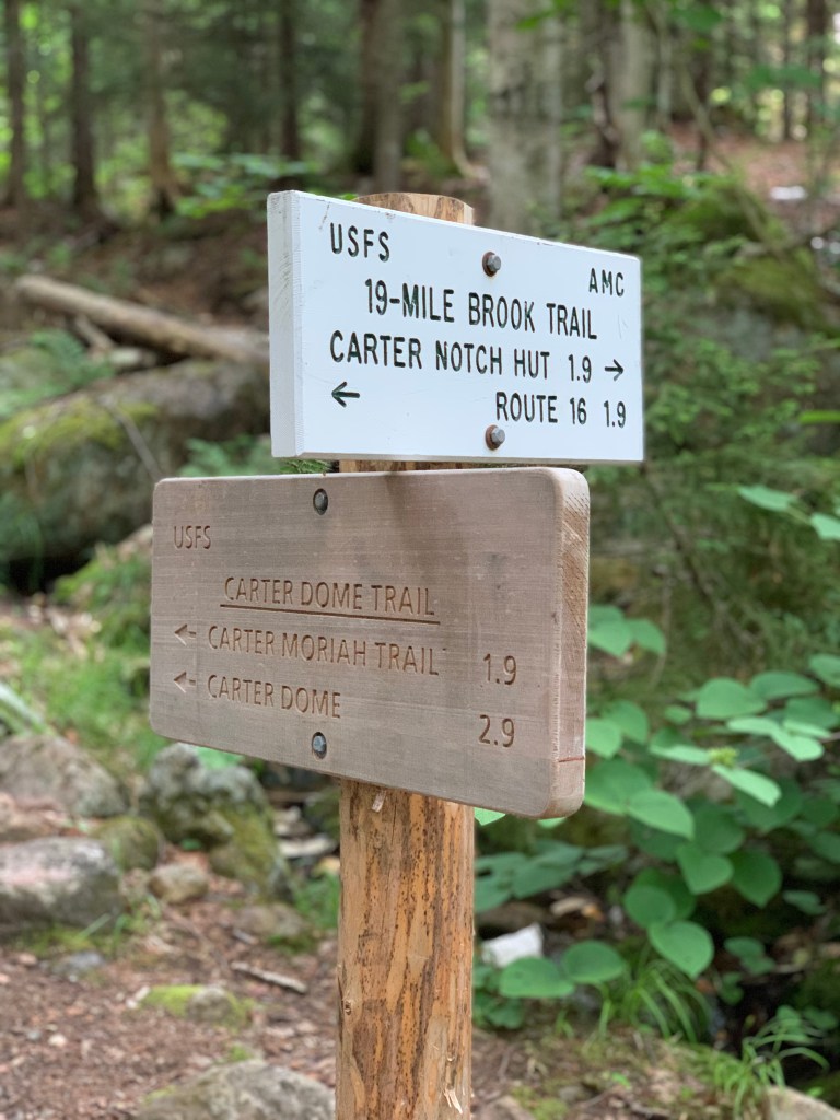

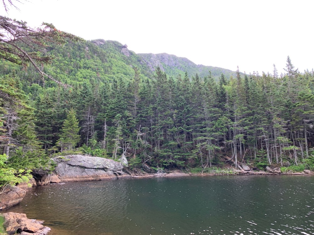
The 19 Mile Brook Trail brings you to a junction where you can head for Wildcat ‘A’ via 19 Mile Brook Trail or head north on the Carter-Moriah Trail to Carter Dome. Also at the junction is the Carter Notch Hut. The notch and hut are breath taking.


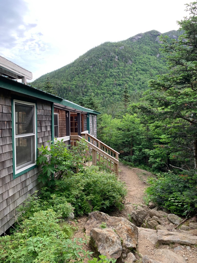

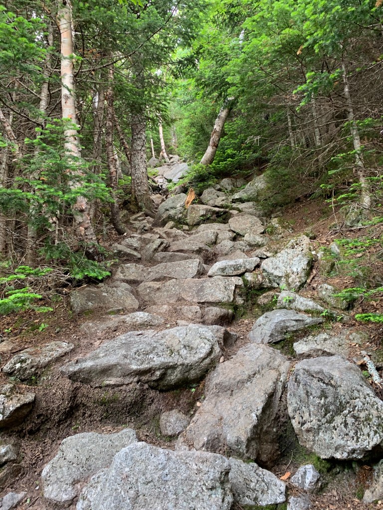
After visiting and roaming around the hut grounds, I back tracked a little to the Carter-Moriah trail that will take me to Carter Dome, the first 4000 footer of the day. I was advised that taking the Carter Dome trail from 19 Mile Brook would be easier as the trail I chose, Carter-Moriah, from the notch, is pretty steep. I wanted to see the hut so I stuck my plan and headed up Carter-Moriah. This trail is extremely steep. Probably on the same level as Wildcat Ridge Trail. There are several spots where you can see down through the notch through ledges and trees. I find that keeping my head down and focusing on the trail is the best way through these steep, ledge, and sketchy sections of the trail. If I focus on how precarious it is at times, it kind of gets to me.


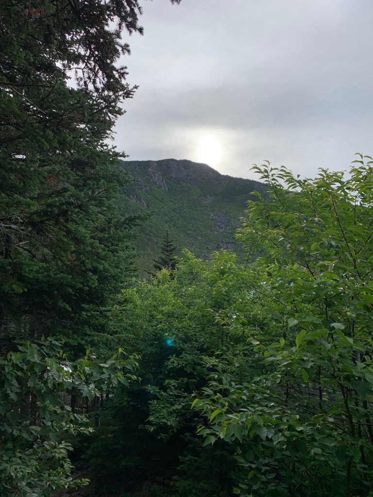
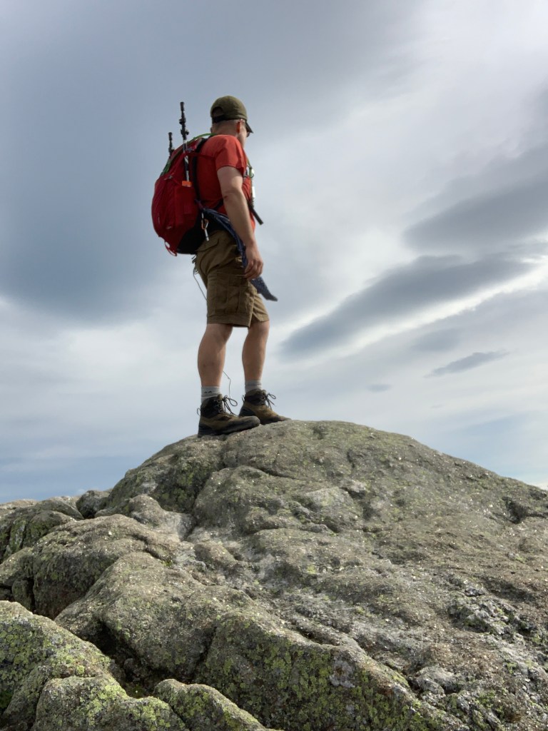
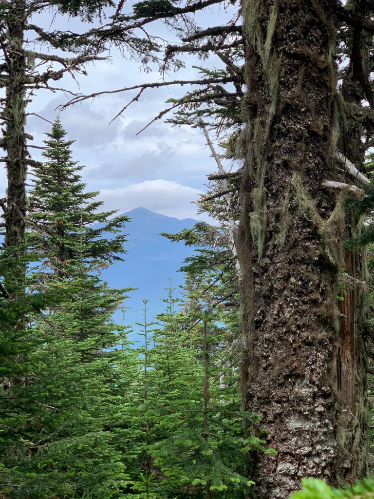
Considering the long and difficult ascent, the arrival at the summit of Carter Dome was kind of anti-climactic. It’s a very welcome relief from the hike that got me there but is pretty much wooded and flat. I snapped a pic of South Carter off in the distance, took my pack off, and had a snack. I hung around on Dome for about 15 minutes eating and checking my map, determining the way and distance to Mt Hight. Mt Hight is a minor detour on the way to South Carter. It is 4500′ in elevation but not an official 4000 footer. It honestly is the highlight of the hike though. The views are outstanding! Being a minor detour, just do it.
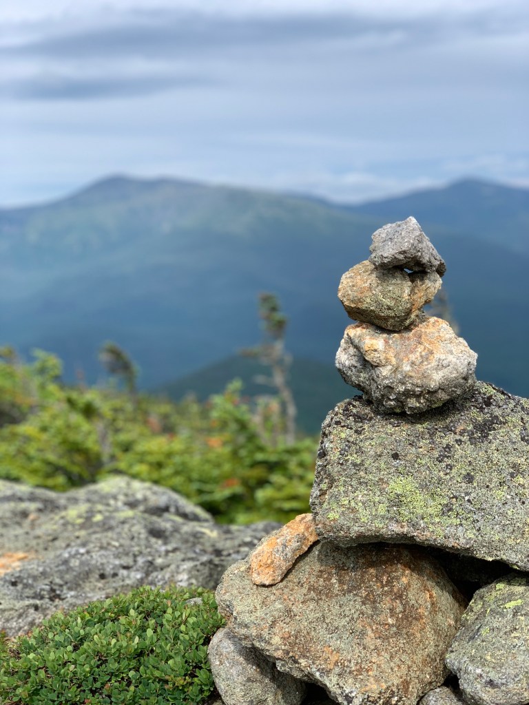

The descent from Mt Hight back to the Carter-Moriah trail and South Carter mountain was VERY steep. I was glad I came to Mt High from the south as this hike up would have been tough. The hike from Hight to South Carter was pretty uneventful and culminated with another anti-climatic summit. No views to speak of but I was struck by the varied terrain. From differing woods to rocky ascents to swampy marsh in some spots. Taking it all in as I march along.


The traverse along the ridge between South and Middle Carter was pretty easy going until the last push to the top of Middle. The descent down North Carter Trail was much slower than I had planned. Very rocky, lots of scrambling and water. Downhill on wet slippery rocks can be no fun at all. The top section of the trail seems to follow a small stream for quite some time.


This was a really fun hike. I always make a point when I am within range of an AMC Hut, I go there. They are just fun to experience and look at. There are always very kind and interesting people there as well. The entire route I planned was supposed to be around 10 miles. Turned out to clock in at about 14 miles. I was able to get 3 4000 footers in one long hike. I was feeling great on top of the last peak, Middle Carter, at around 11:00 am and considered going over to not only North Carter but also Mt Moriah. Moriah was slated for the following day and based on what I experienced the next day, I’m glad I waited!
| Carter Dome | 4,832′ |
| Mt Hight (Not a 4k) | 4,675′ |
| South Carter | 4,420′ |
| Middle Carter | 4,600′ |
| Distance | Elev Gain | Time |
| 13.76 Miles | 4818 | 7:10 |
