
The previous weekend I had planned to do this hike. My weather watching indicated that the winds would average 45 up top and 20 down lower. Coupled with cold air, the wind chills likely didn’t leave the negative teens. I’ve done it before in that weather and while doable, everything is just a bit harder. I choose to wait a week.
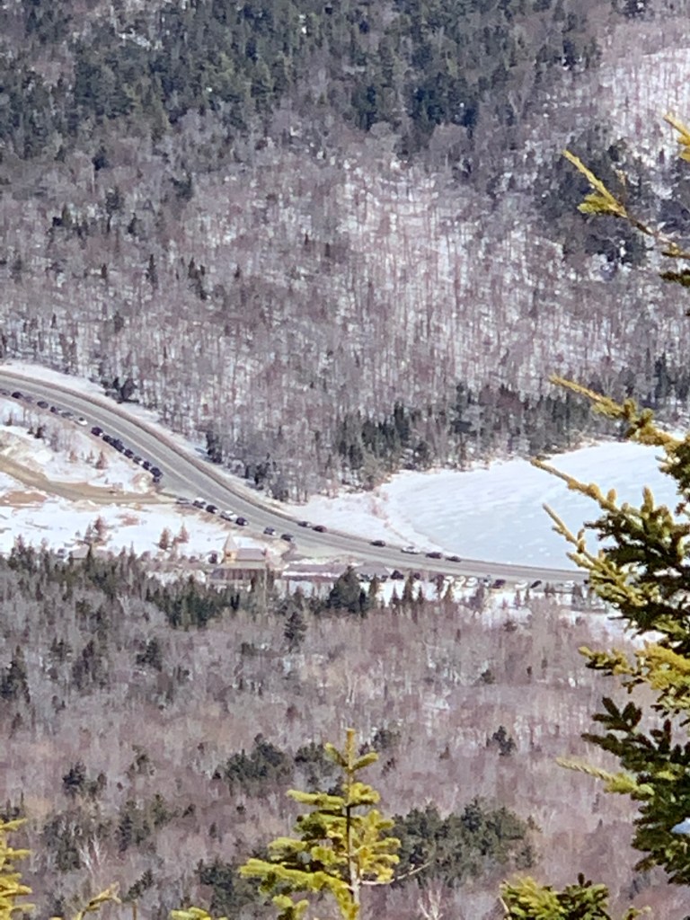
The weather for March 20 proved to be worth that wait. The forecast called for 25 mph winds up high with temps in the 20’s coupled with 100% sunshine. Turned out even better with minimal wind, maybe 10 mph in spots, and temps in the 30’s. I left the Crawford Notch Depot at about 7:30 AM wearing micro spikes and packing the snow shoes.

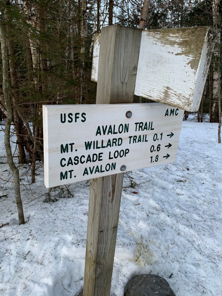

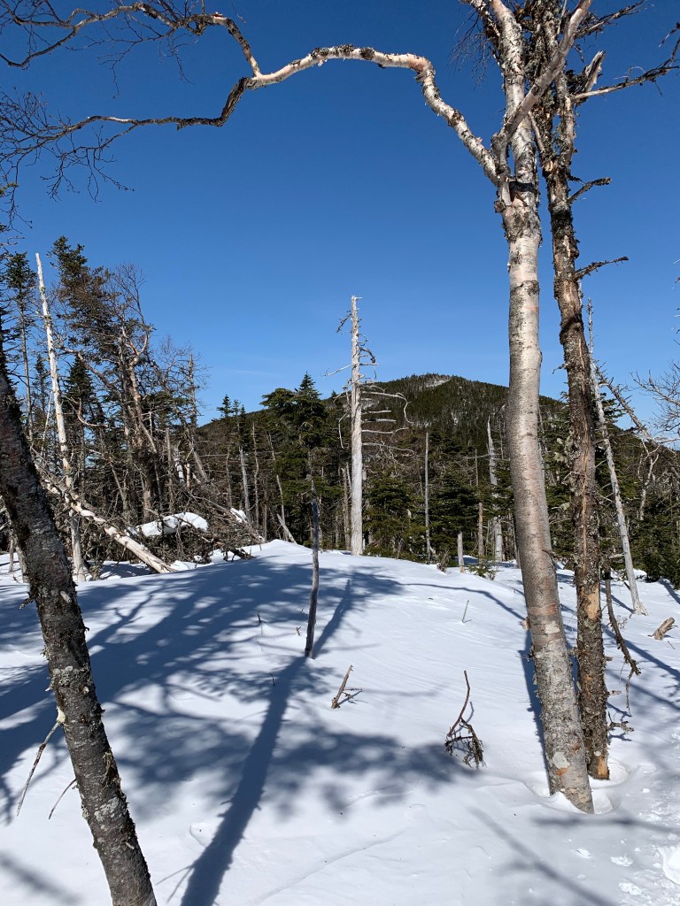
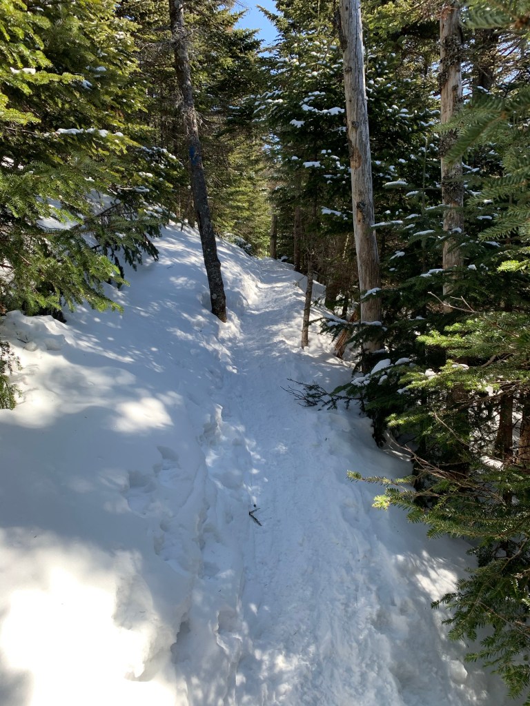
The first mile and a half or so was on the Avalon trail. Well packed and moderately steep in parts it was smooth to the junction of the A-Z Trail. A-Z got a bit more loosely packed and was still doable in spikes but I decided to put my snow shoes on so I would use less energy. The trail grew gradually more steep. I soon encountered really the only sketchy section of the hike. I was cutting across a very steep ravine, on a narrow path of drifting snow in snow shoes. I’ve been through MUCH worse but did stop recording so I could pay attention.
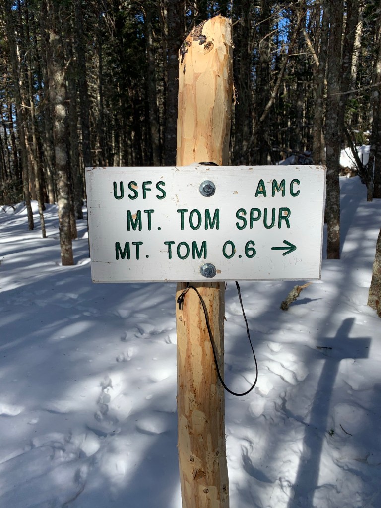
Once through this ravine it was UP. This was the longest stretch of steep for the day. The push to the top of the ridge and the Mt Tom spur was tough with many breaks along the way. Took a right at the A-Z/Tom Spur trail for the 3/4 mile run to the top of Mt Tom.

South West from Mt Tom 
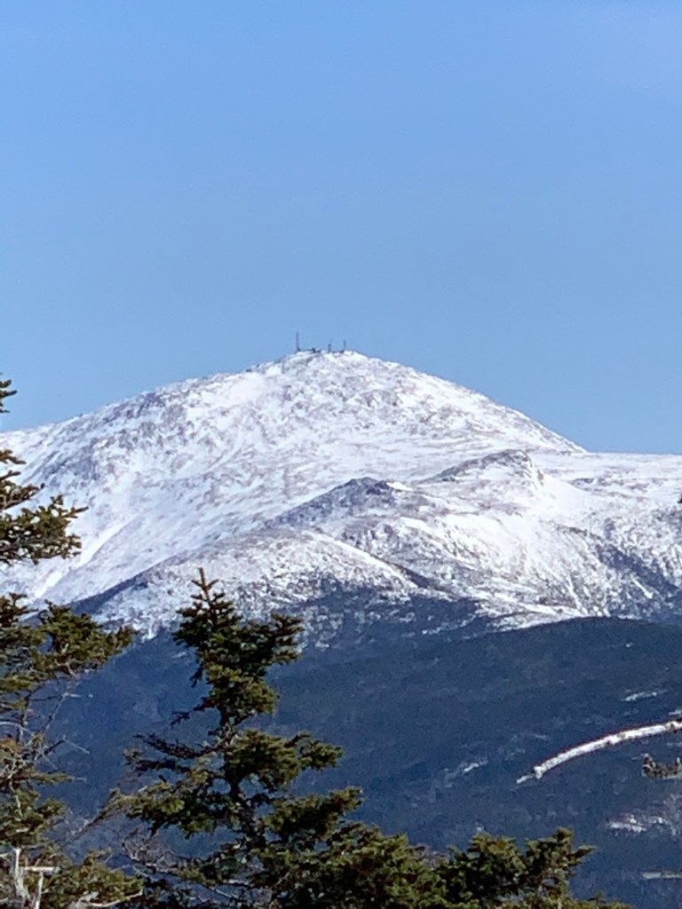
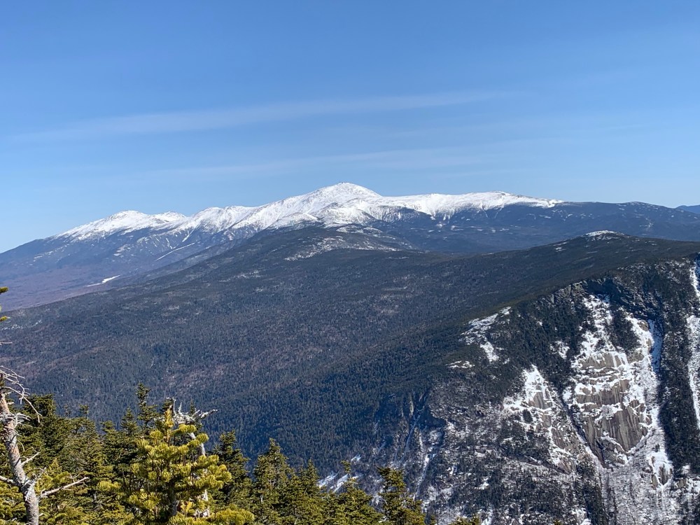
Jefferson, Clay and Washington from Mt Tom 
After a protein bar and some water rearranging, I left the summit of Tom and headed back for the junction a quick 3/4 miles downhill. I went right again at the junction taking A-Z to the Willey Range Trail (WRT). WRT was pretty uneventful. I had taken my snow shoes off on top of Mt Tom to make for a quicker descent. About 1/2 way to Mt Field along the WRT I encountered a hiker coming toward me. He warned my of significant snow drifts just ahead. I dropped my pack, put the shoes on and stowed the micro spikes.

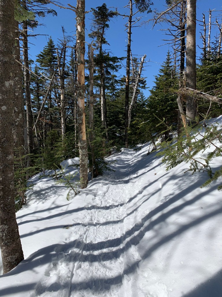
I just kept the snow shoes on from this point on. Sick of swapping and snow was soft enough to suck up a lot of energy pushing through it. I find it easier to hike in snow shoes in these conditions. The ascent of Mt Field from Willey was pretty gradual, initially. It didn’t get really steep until the very end, near the summit.


As I mentioned above, the summit push up Field was very steep. I guess the shrinking trees and increasing wind keep me motivated and moving through these tough parts.
The descent of Mt Field with Mt Tom looming was VERY steep. All I could think about was the fact that I would have to go up exactly what I am going down after I get to the top of Mt Tom. I was already dreading the return but knew I just had to push on. The descent got so steep that I did swap my snow shoes for spikes one last time. I recalled a couple weeks ago when I fell on Mt Jackson after my snow shoes turned into skis on a steep descent. I did go back to snow shoes shortly after that section. The hike from Field to Willey was beautiful with much of it along exposed ridge with amazing views. The final ascent of Mt Willey was not nearly as steep as Field.
And then the summit of Mt Willey
I took off my pack and snow shoes on Willey. Chatted with some people and shared a sandwich with the grey jays. The view down over Crawford Notch and the Presidentials to the east is amazing. Some more people showed uo and I took as my queue to depart the summit and head back for the dreaded ascent of Mt Field, again.

I made my way back to the summit of Mt Field. This was a long walk mostly because I knew what was looming near Field. I trudged up and over Field not stopping at the summit and descending quickly to the junction of Willey Range Trail and Avalon Trail. Getting back to the top of Field actually made 4 4000 footers that day but Field doesn’t count twice! I went right down Avalon toward Mt Avalon and ultimately the end of the hike. the descent was extremely steep. I have never hiked UP Avalon trail and I am not sure I ever want to. I did encounter some people ascending and wondered if they were doing it voluntarily or perhaps didn’t know how bad it is.
I had a choice to venture up the short spur to the top of Avalon. The sign said 100 yards. Might as well right? I’m here. It was a very steep short hike to a final amazing view.


I descended Avalon and continued on the Avalon Trail back to my car. It was a great day. beautiful weather, amazing views and 3 more 4000 footers crossed off the list.
3 Peaks, 11.5 Miles, 4010 Feet elevation gain in 6.5 hours.

Leave a comment