 Mt Pierce to (#7) Mt Eisenhower. Back to Pierce and on to (#8) Mt Jackson")
Revisit! I attempted this on 2/13/21 and was met with -16 degree air temperatures and post-holing to Eisenhower from Pierce. This time I returned with MSR Reve Explore snowshows.
This was my second ascent of Mt Pierce in 2 weeks. I knew what to expect, I thought. I met a couple returning from the top via Crawford Path and they told me about 4′ – 8′ drifts just below the summit of Peirce. To this point, about 3/4 up Pierce, I was using Micro Spikes. I stopped and put on my snowshoes.
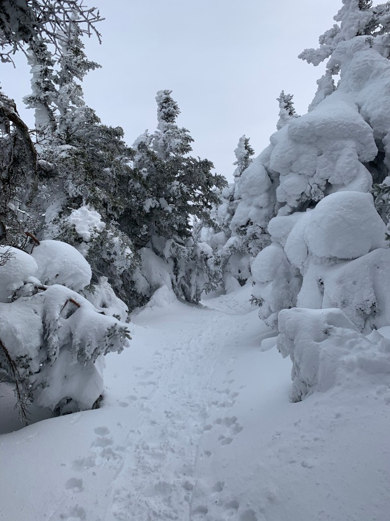
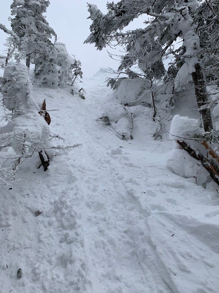
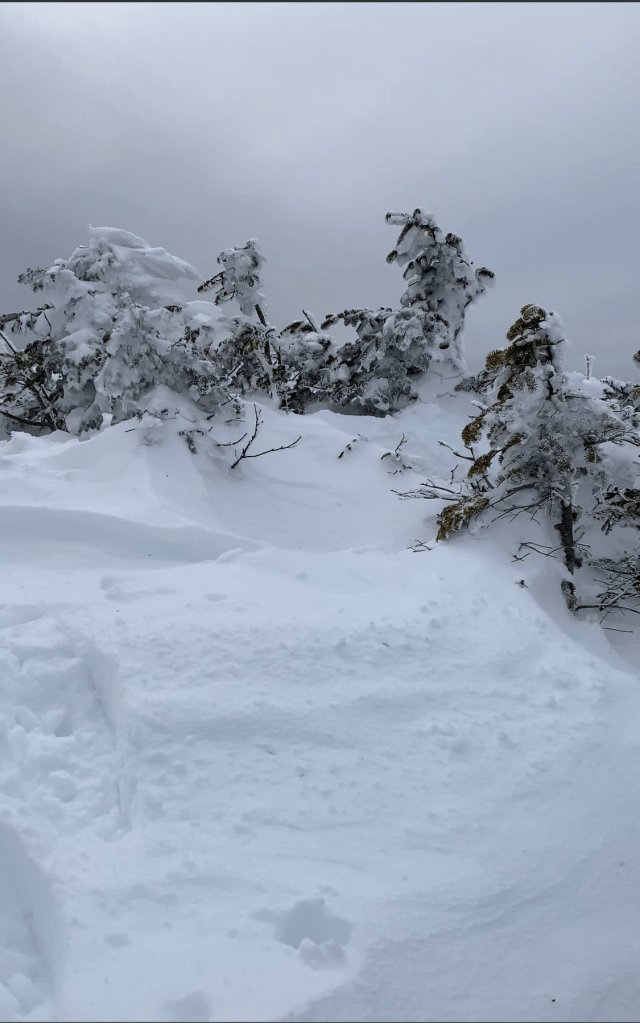
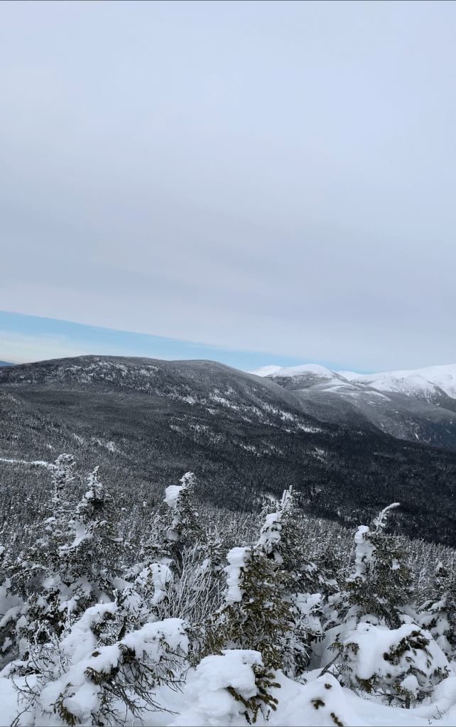
After getting just below the summit of Pierce, I jumped down over the ledge to continue toward Mt Eisenhower. I quickly noticed that this trail was not packed at all. I was following a single set of post holing foot prints. In the distance, I cold see the silhouette of a hiker. I cant imaging doing the walk to Pierce to Eisenhower without snowshoes. I had tried. Failed. Thankfully he preceded me as it made the way easier to find. It is all exposed ridge with visibility of Pierce and Eisenhower pretty much the entire way but it was nice to follow some steps.
The foot prints I followed 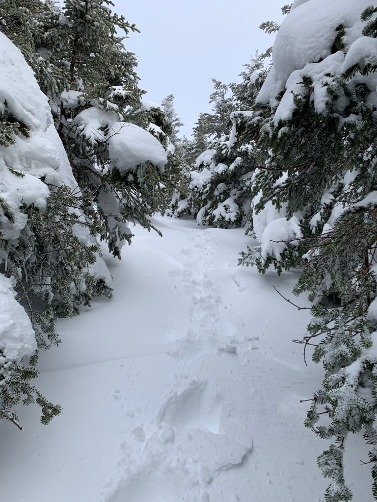
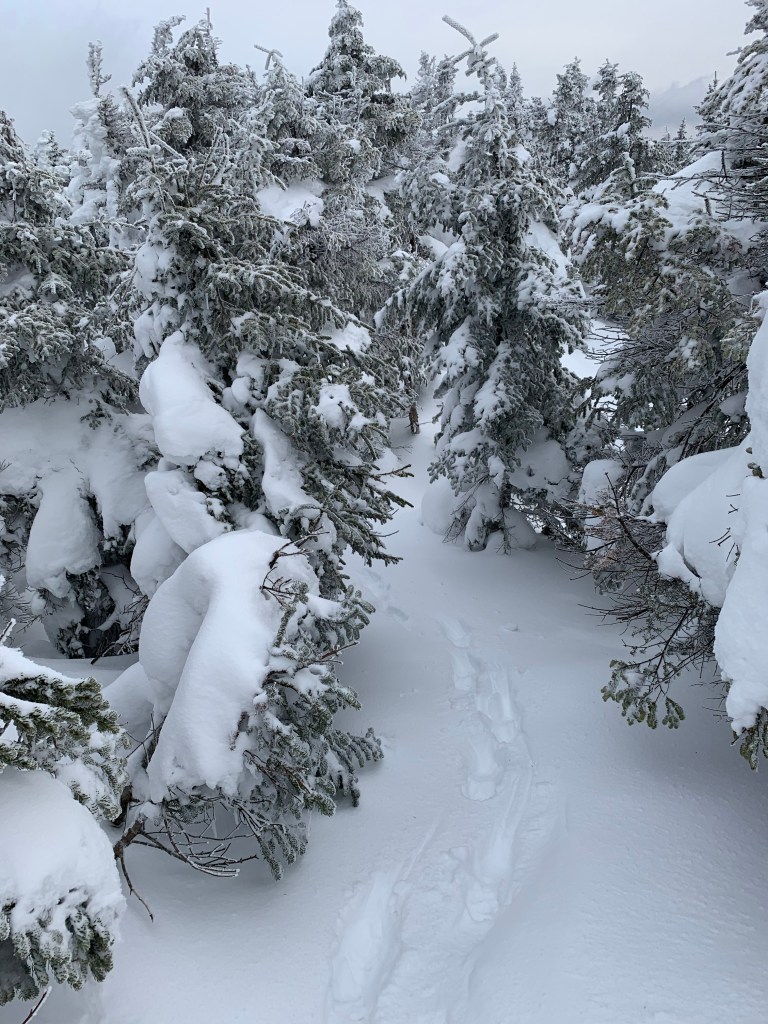
And continued to follow 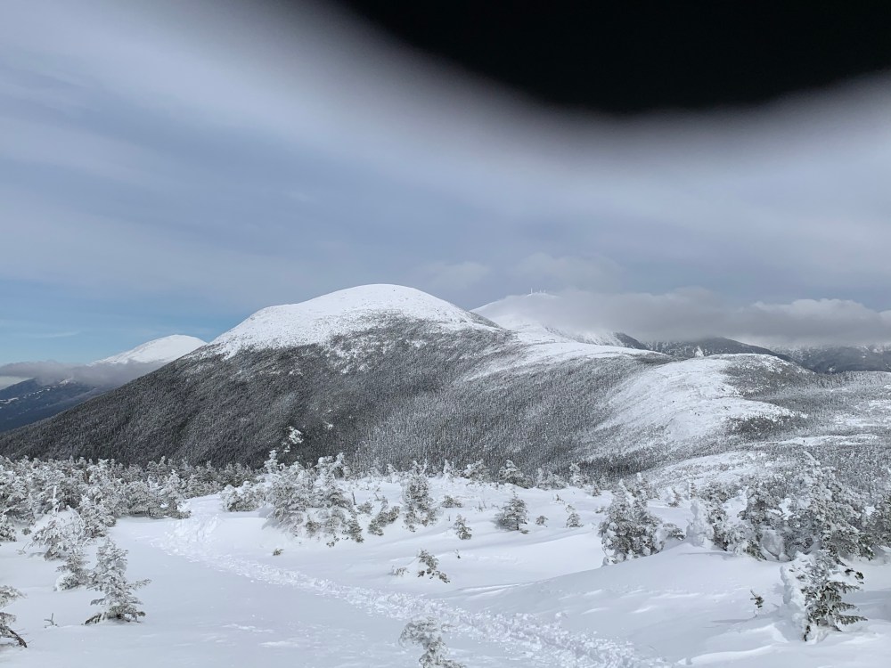
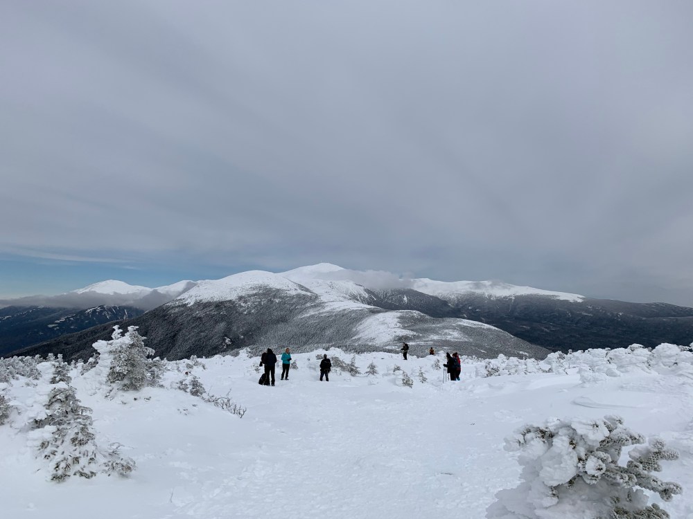
Approaching Eisenhower
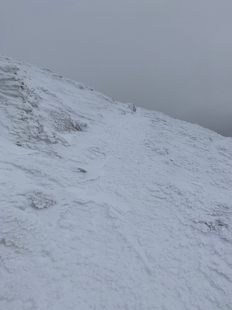
Getting to the summit of Eisenhower was my reason for being back here so soon. It was not an easy hike. The closer I got to Eisenhower the icier the trail became. I did manage to climb the steep sections with my showshoes on. I was thinking that the snowshoes may not be appropriate for the descent given the ice. I skied a couple time on the way and didn’t want to lose traction on the coming down the steeps of Eisenhower.
Summit Cone 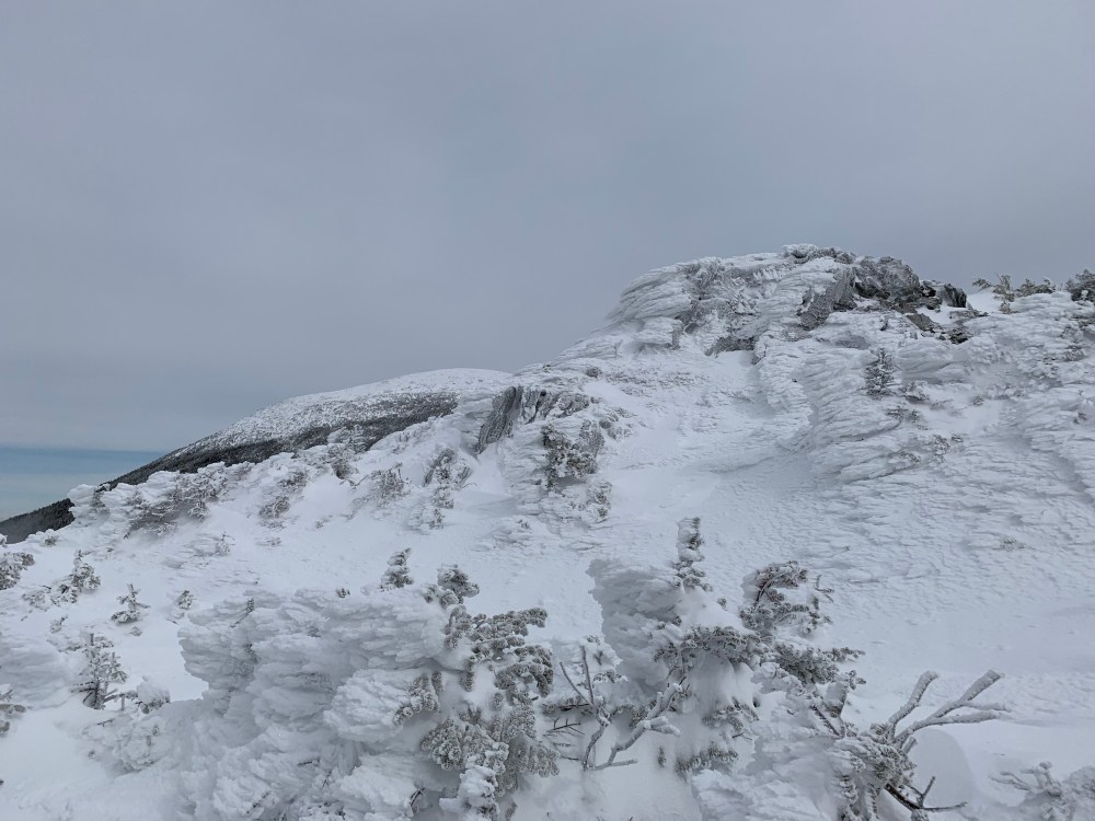
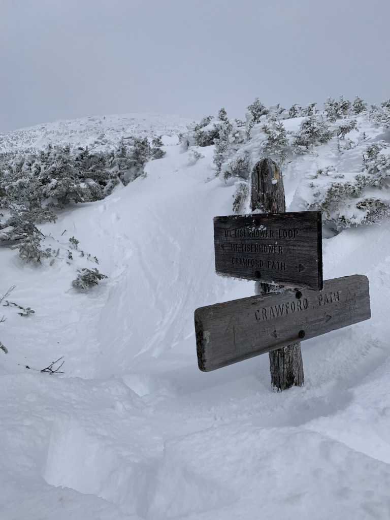
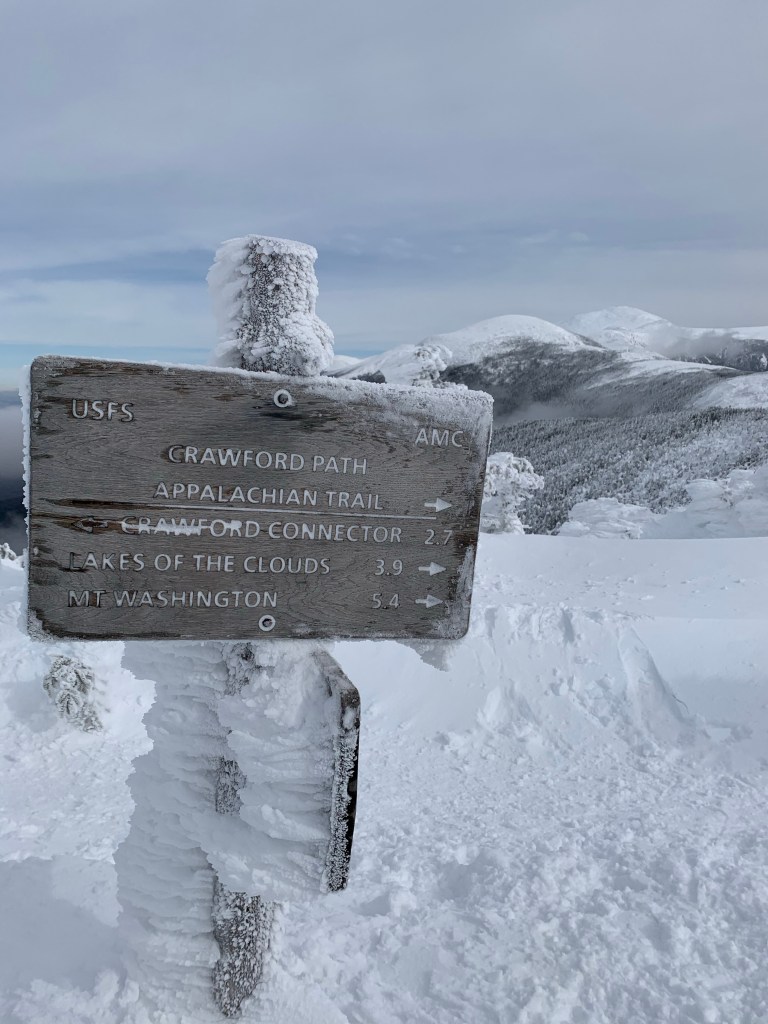
This is not a short sign! 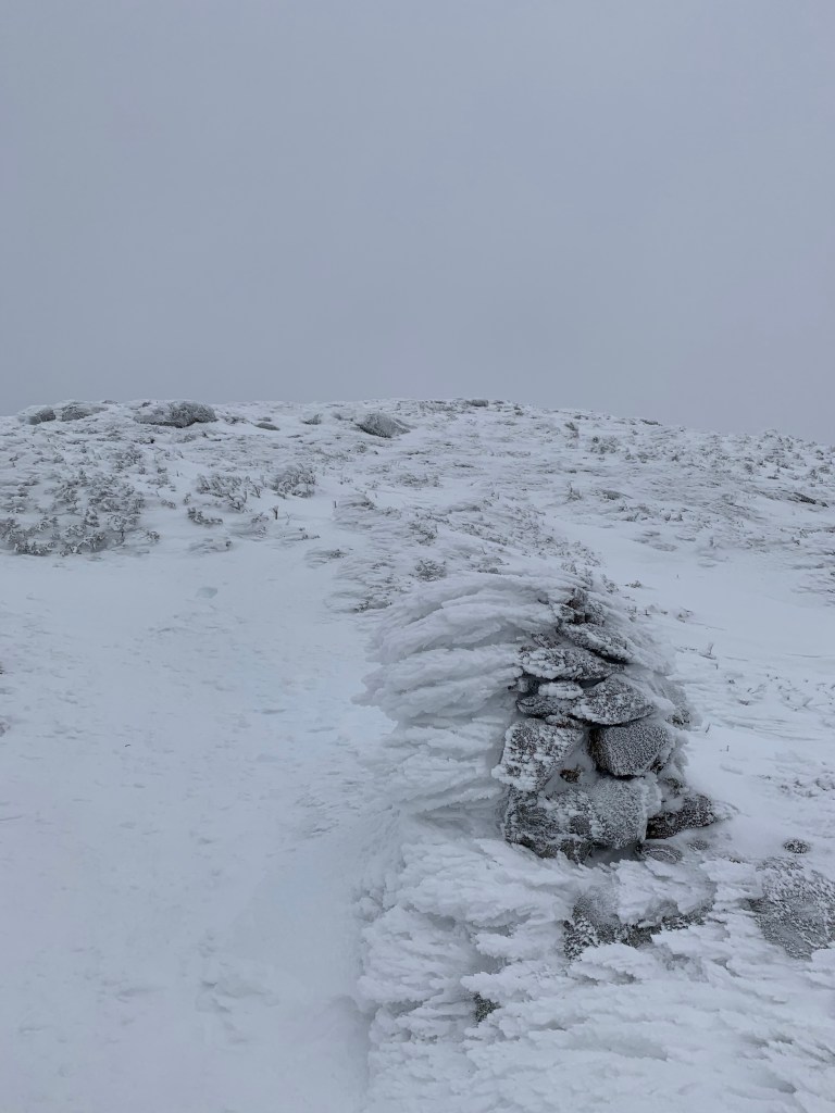
Summit Cone 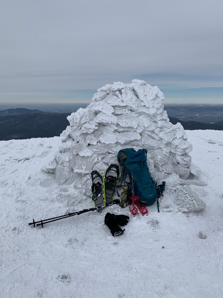
Summit Break for a sandwich!
I made the summit of Eisenhower and hung around long enough to eat a peanut butter and honey sandwich, drink some water, take the snowshoes of and put my spikes on. I then descended and traversed back to the real summit of Pierce.
Once back to Pierce it was time to asses the possible continuation to Mt Jackson. Considerations included trail conditions, water remaining, food remaining and my health. I did plan one more escape hatch at the Mizpah Spring cut off if I needed to bail on Jackson. I decided to continue on to Mt Jackson.
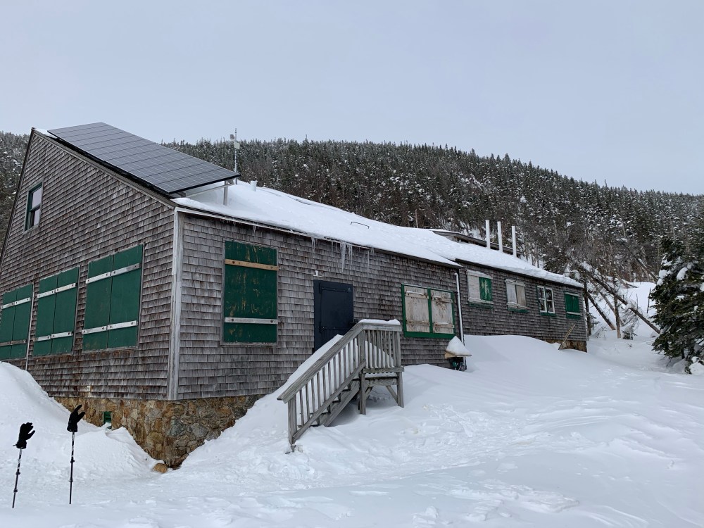
Mizpah Hut 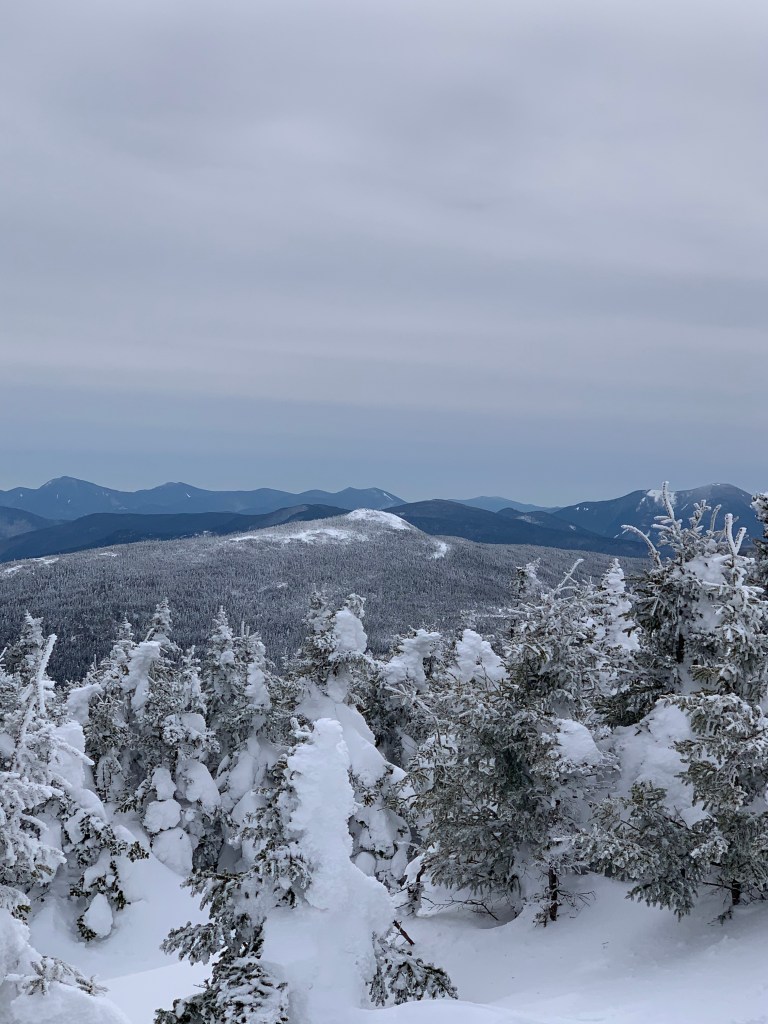
Jackson in the distance 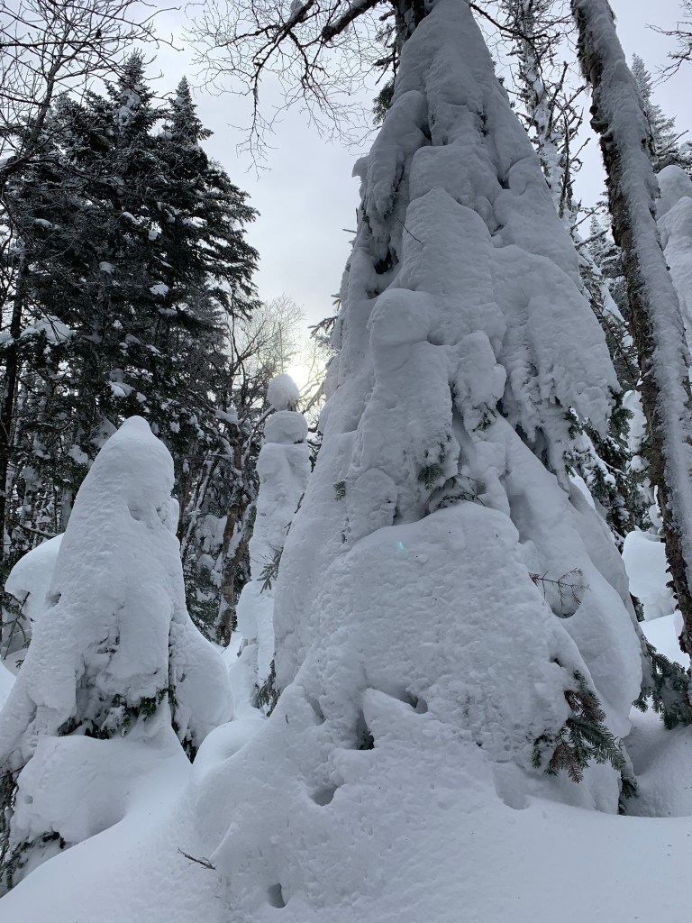
Summit approach 
The trail from Mt Pierce to Mt Jackson was isolated and not well traveled. In fact I only saw 4 people the entire time and they were seated at Mizpah hut eating. It was very steep and felt more challenging the Pierce or Eisenhower. Hard to say if it was because it was my last 4k of the day and it had been a VERY LONG day! I found myself wishing the steep incline to Jackson would just start so I could get it behind me. It did eventually start and was very steep and challenging. I didn’t get many photos of the Jackson summit. I was more focused on getting back to my car before dark.
From the summit of Jackson it was mostly downhill to my car. VERY steep downhill on the Webster-Jackson trail. Cant even begin to imagine going up that trail! My knees were showing their age on the descent. There were a couple demoralizing ravine crossings that were very steep. The type of stuff that makes you curse in the woods when you’re alone. I was done, but the trail was not.
All in all an EPIC day. 13 miles, 4600+ vertical feet, 8 hours
| Peak | Trail | Distance | Height |
| Mt Pierce | Crawford Path | 3m | 4,312′ |
| Mt Eisenhower | Crawford Path | 1.8m From Pierce | 4,760′ |
| Mt Pierce | Crawford Path | 1.8m From Eisenhower | 4,312′ |
| Mt Jackson | Webster-Jackson Trail | 2.2m From Pierce | 4,052′ |
| Car | Webster Jackson Trail | 2.75 From Jackson |

Leave a comment